15 nights on New Zealand’s South Island, travelling to some of my favourite parts of the World for the first time since Lockdown.
Te Waipounamu is South Island’s official name; ‘wai’ meaning ‘waters,’ and ‘pounamu’ meaning ‘greenstone.’
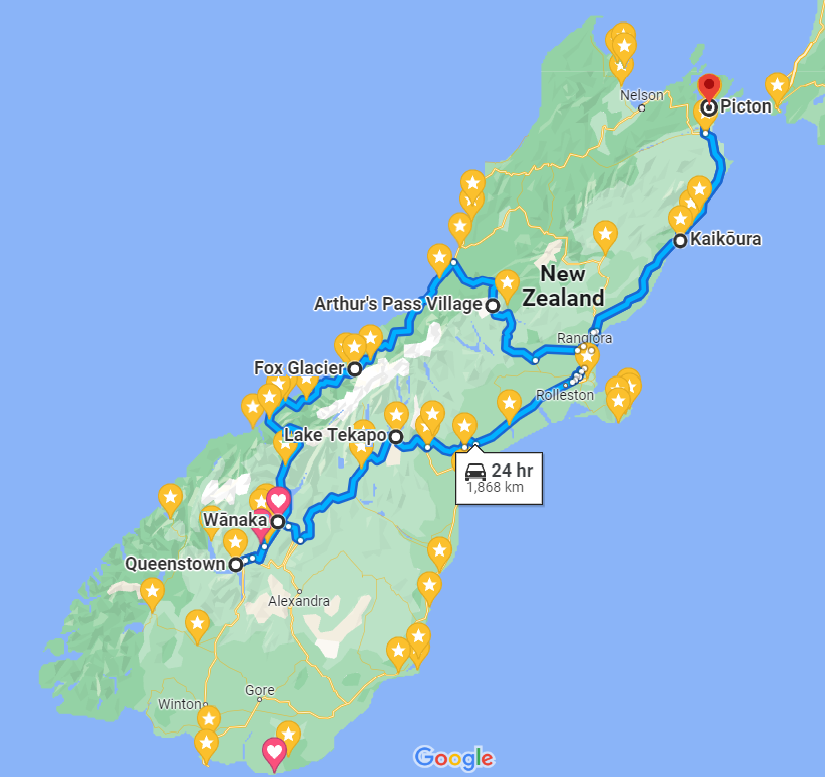
We drove around 2,000km in 14 days!
(Click for more info whenever you see this little black arrow.)
The original plan was to drive all the way up the West Coast to Nelson, but devastating floods took out most of the roads during the start of our trip, so we had to make a last minute detour through Arthur’s Pass.
Budget
Our overall budget in New Zealand Dollars was around $5,800 between two of us.
To save money, I pre-booked all our accommodation and transport, and got early bird ski passes.
- Interislander Ferry – Flexible Return for 2 adults: $256 NZD
- Omega Car Rental, Picton – 14 days: $773 NZD
- Accommodation for 15 nights (through Booking.com): $1,778 NZD
- Cardrona & Treble Cone Ski Resorts – x2 Earlybird Multiday Passes for 4 days: $680 NZD
We spent around $290 on petrol, which left us with around $2,000 for general supplies. This went mostly on food and drink, which was definitely the most expensive part of our trip.
Starting in Wellington, we caught the Interislander ferry to Picton – a 3.5 hour crossing in good weather – arriving late in the evening. We stayed overnight, collecting our hire car from Picton Omega the following morning, and made our way to Kaikōura.
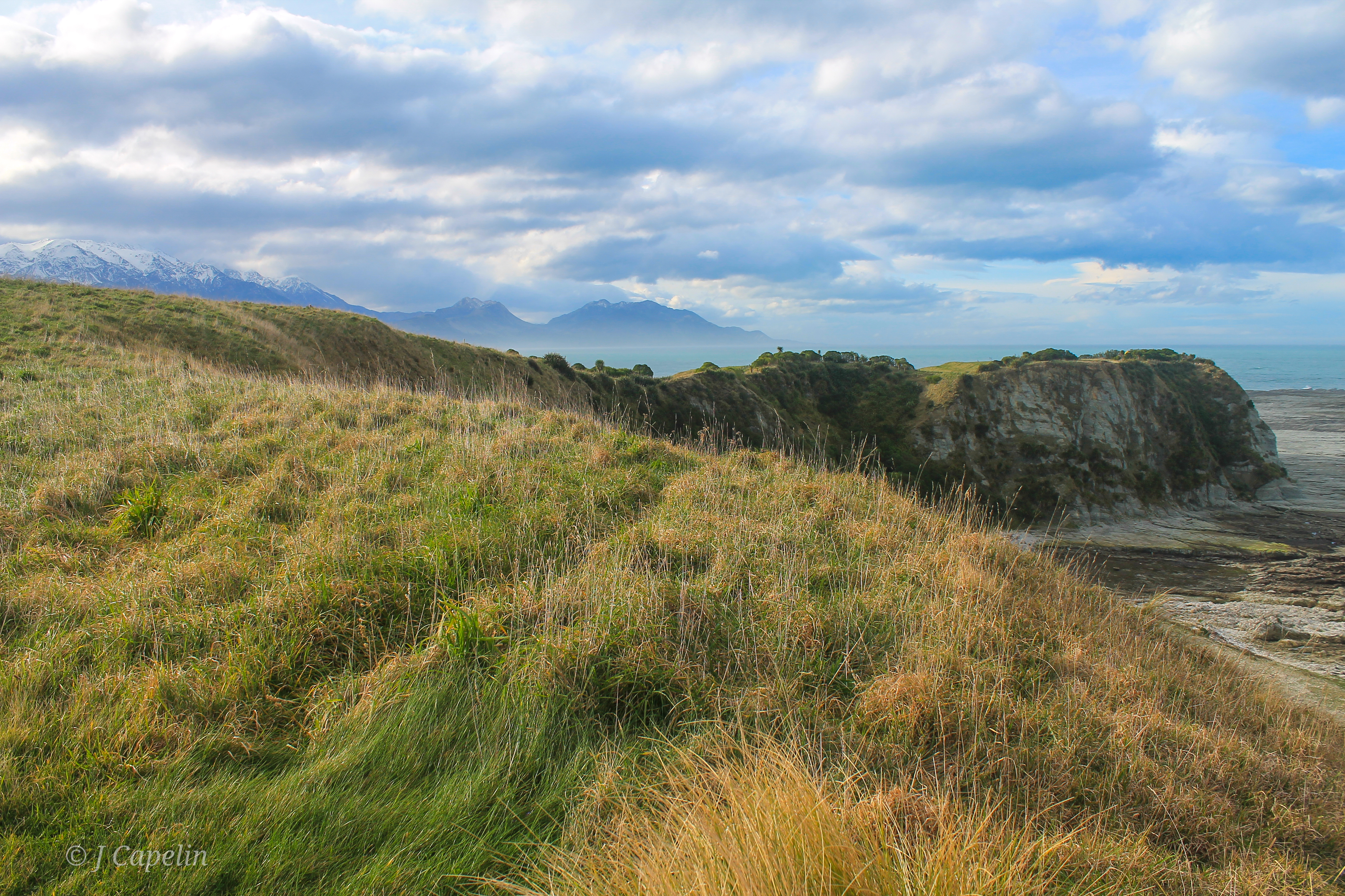
Kaikōura

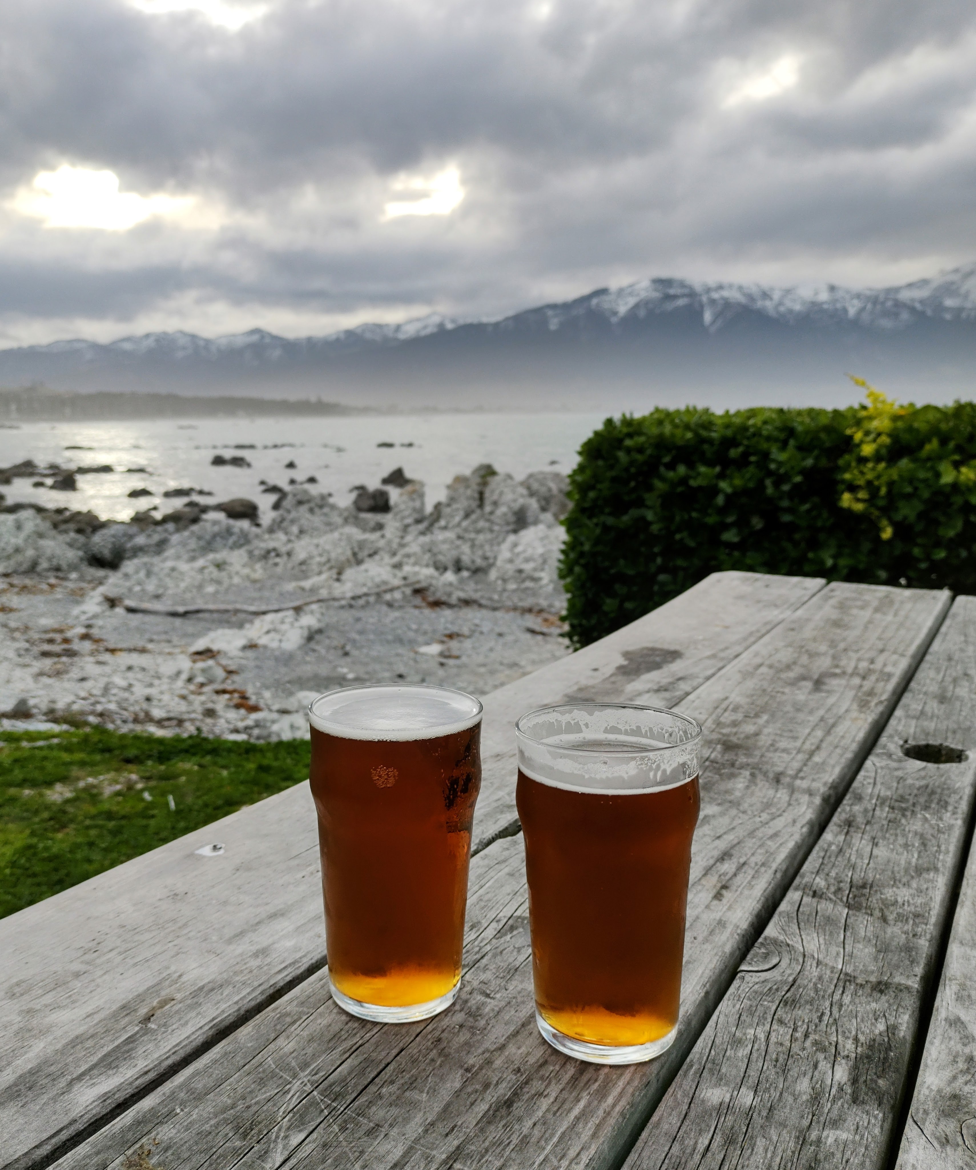
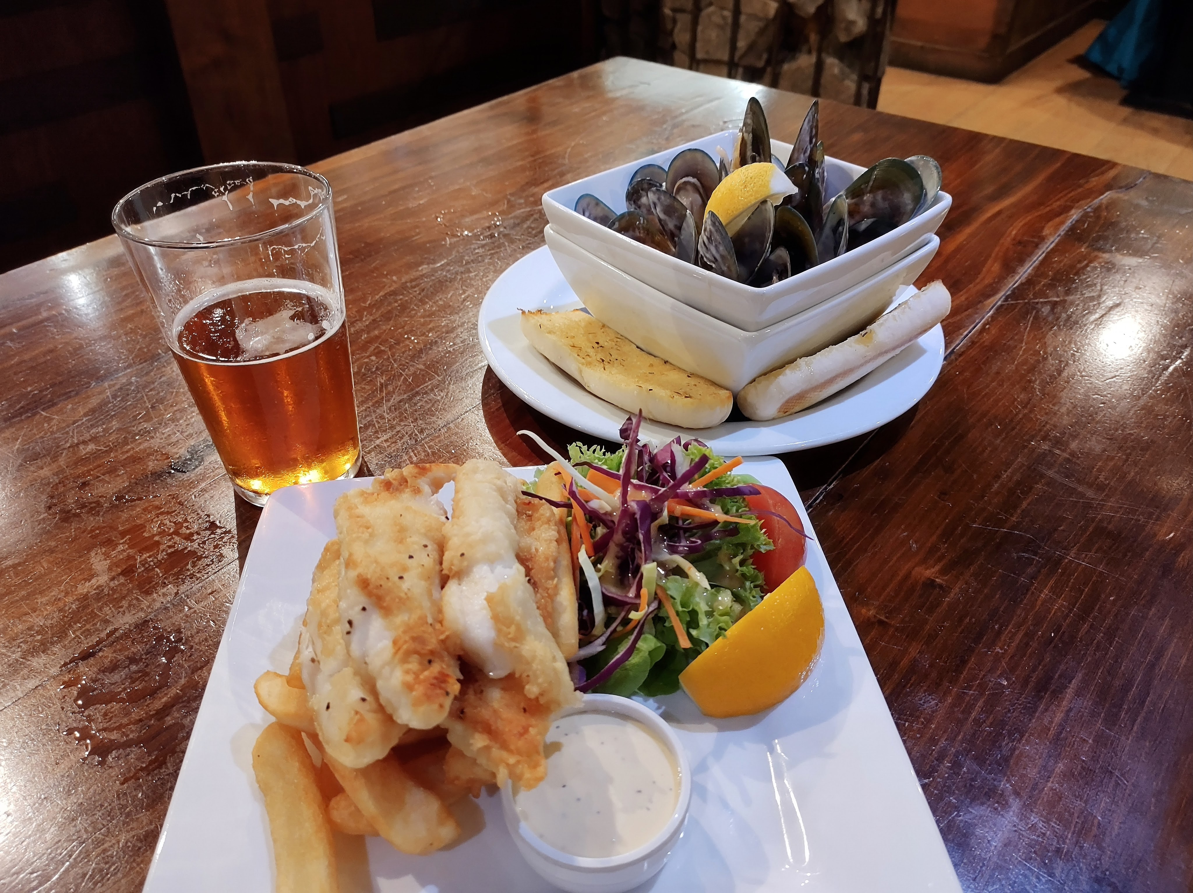
Who doesn’t love a good seaside town? Where a storm is always imminent; the ceaseless rush of the Pacific Ocean gently fills your ears, gulls call distantly on the wind, and with the snow-capped mountains hugging its perimeter, you can always expect the unexpected in Kaikōura. Kai means food and kōura means crayfish, and you can find plenty of places in and around the area serving up this classic NZ dish.
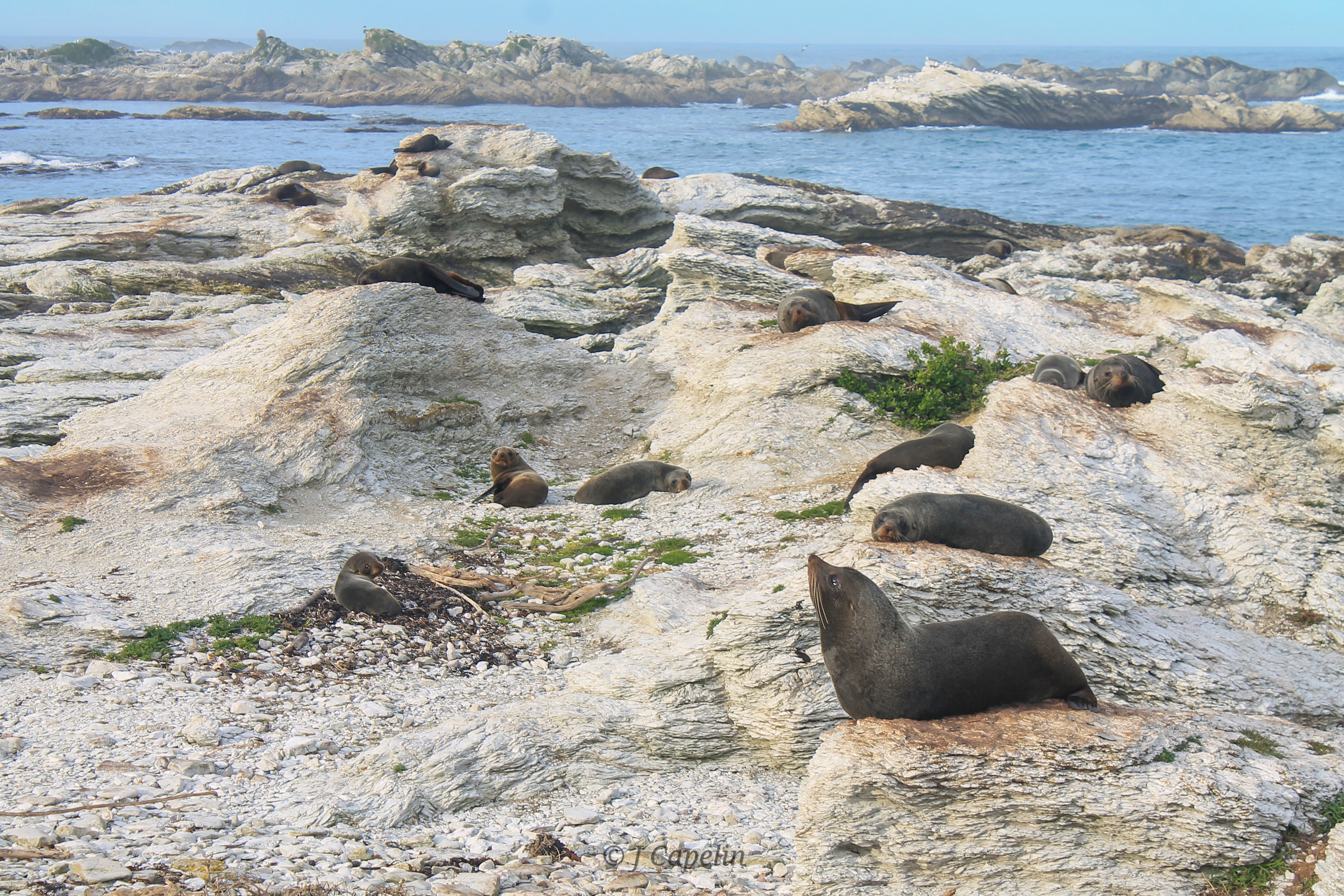
Fur Seal Colony

We took an afternoon walk along the Kaikōura Peninsula Walkway, (11.7km – allow a generous 3 hours) which climbs up over the headland, past lush pastures full of cows, with panoramic views of the Kaikōura coast and mountains, and a bird’s eye view of hundreds of fur seals scattered below the cliff.
The walkway loops back down the cliff and along the beach, back towards the carpark. It’s recommended you keep 20 metres away from the fur seals, and watch where you step! The path took us through some long grass at the top of the beach, and before I knew it I had an enormous fur seal at my knees, roaring at me tremendously. I gave it lots of space, and by the time my heart had started beating again, it laid back down and we were able to give it a wide birth!
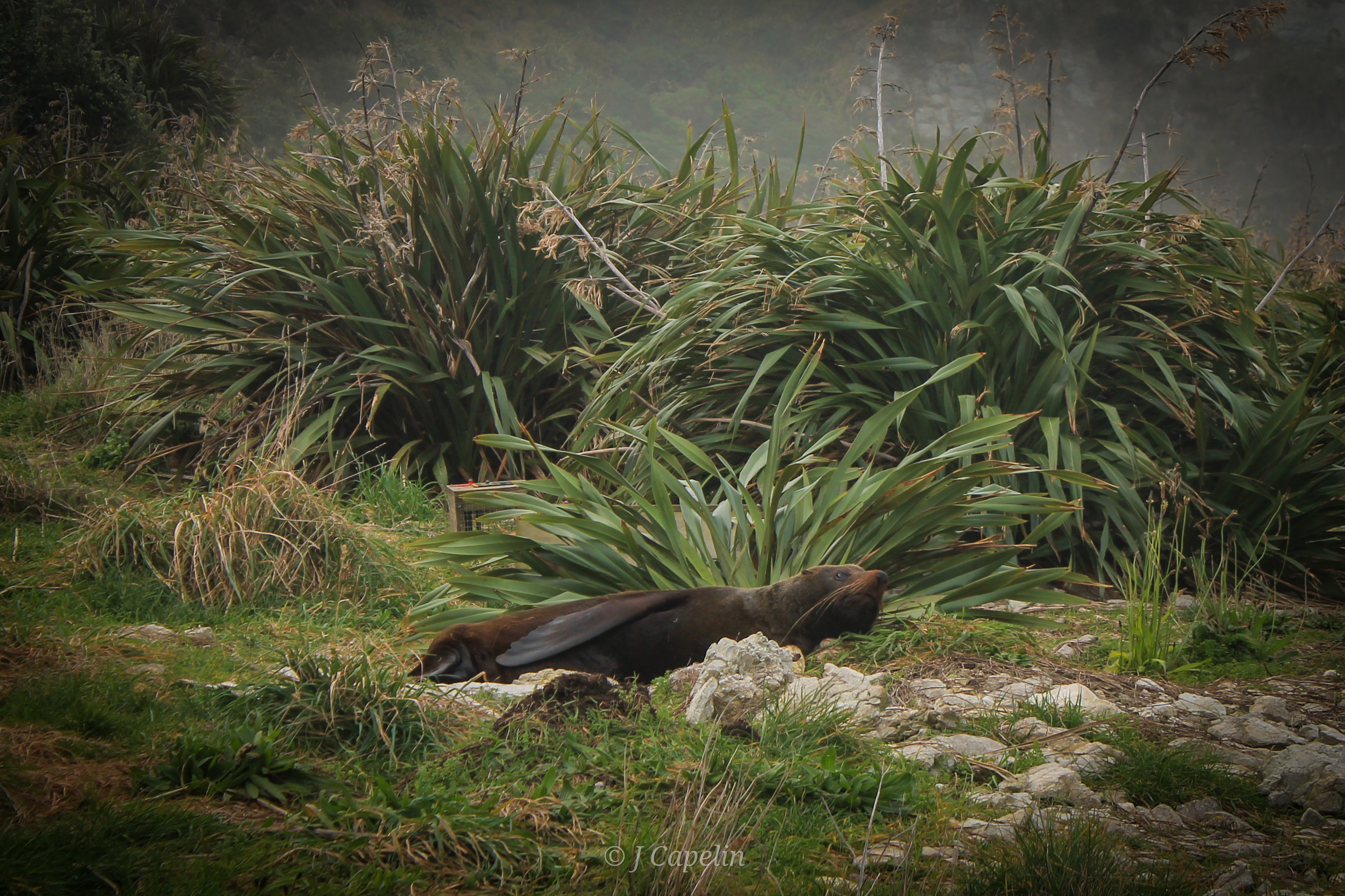
There were hundreds of fur seals sprawled all over the rocks, up the beach, in the grass, and on the path! (We made sure to find a safe route around them, because you really don’t want to get yourself cornered by these beasts!) We witnessed a couple of large males having a fight; thrashing their heads around and letting out rumbling roars. During the winter months (May-September) you can see seals with their pups all along the rocky peninsula.
South Bay is another pretty reserve to explore on the south side of the Kaikōura peninsula. Stunning views across the bay lead your eyes up to the mountains, and there’s plenty of wildlife to be seen. You can follow the boardwalk across the coastline; there were shags nesting noisily in the trees, and the setting sun cast a lovely orange glow on the sea.
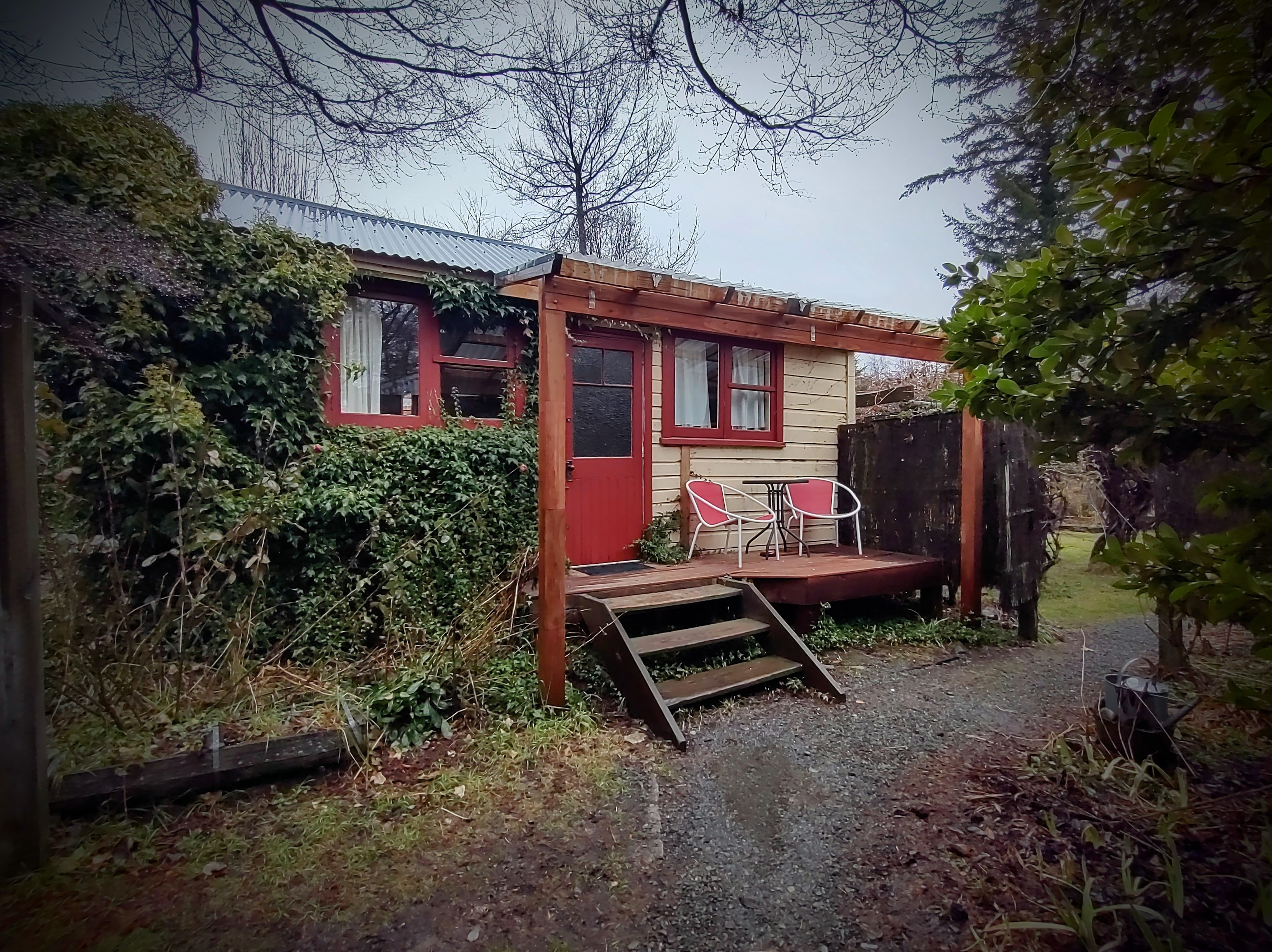
Accommodation: Sierra Beachfront Motel <$100 NZD – 1 night
Food & Drink: The Pier (pub/restaurant), The Whaler Bar & Restaurant (Local seafood, pub food, beer), Bee Box (Coffee)
Drive Time: Picton – Kaikōura: 2 hours
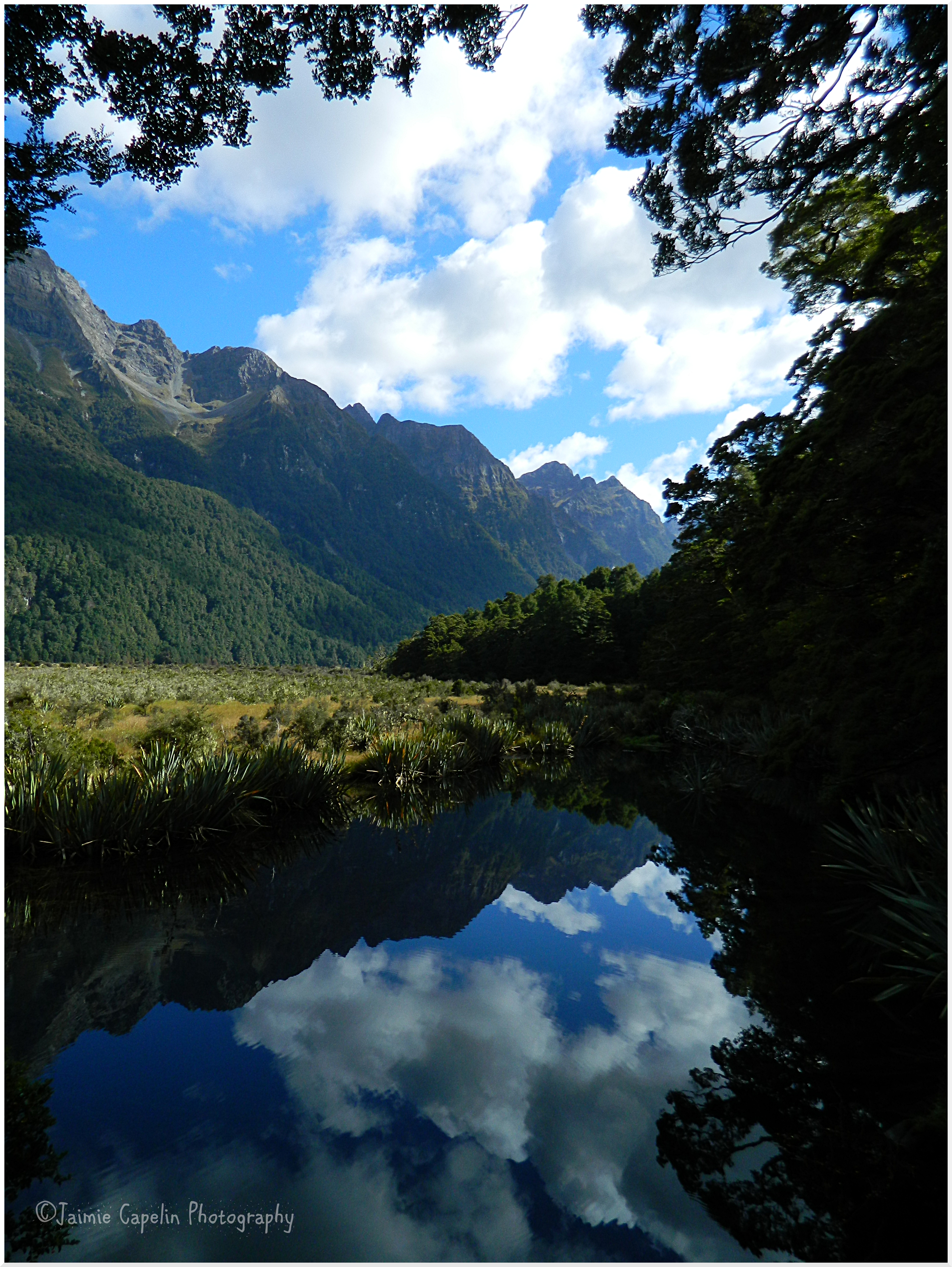
Lake Tekapo
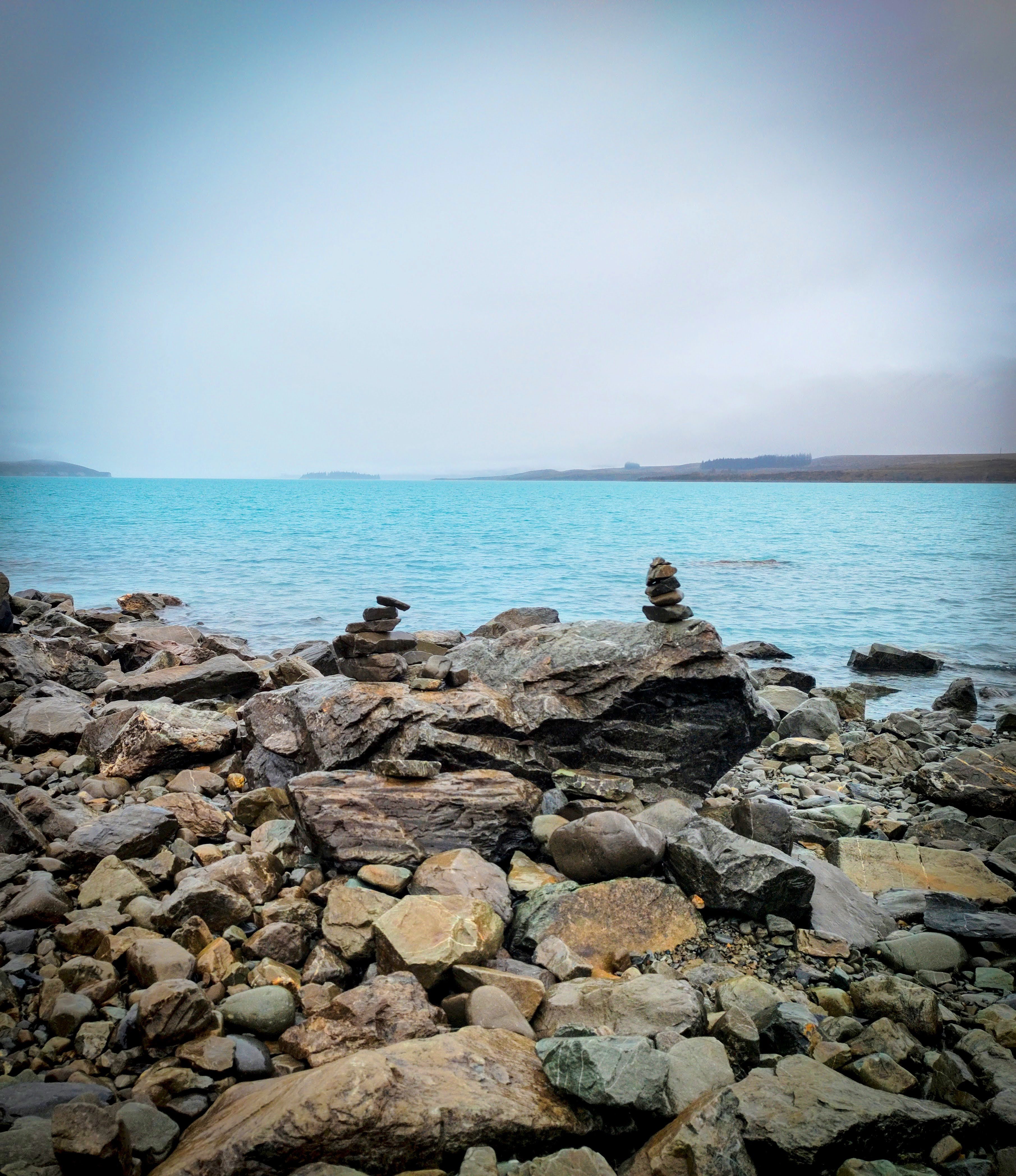
A long drive south with the sun peeping between rain clouds over the earthquake-broken landscape. As we veered inland the sky turned black and heavy rain lashed the windscreen while we wound our way up the treacherous mountain pass towards Mackenzie Country. Set amidst the mountain wilderness, Lake Tekapo was wet and murky, low cloud shrouded the lake; a veil concealing the spectacular backdrop. We strolled down to The Good Shepherd Church – a pretty, little stone building by the lake, where stacks of silver stones and sepia tussocks surround the brilliant turquoise lake front.
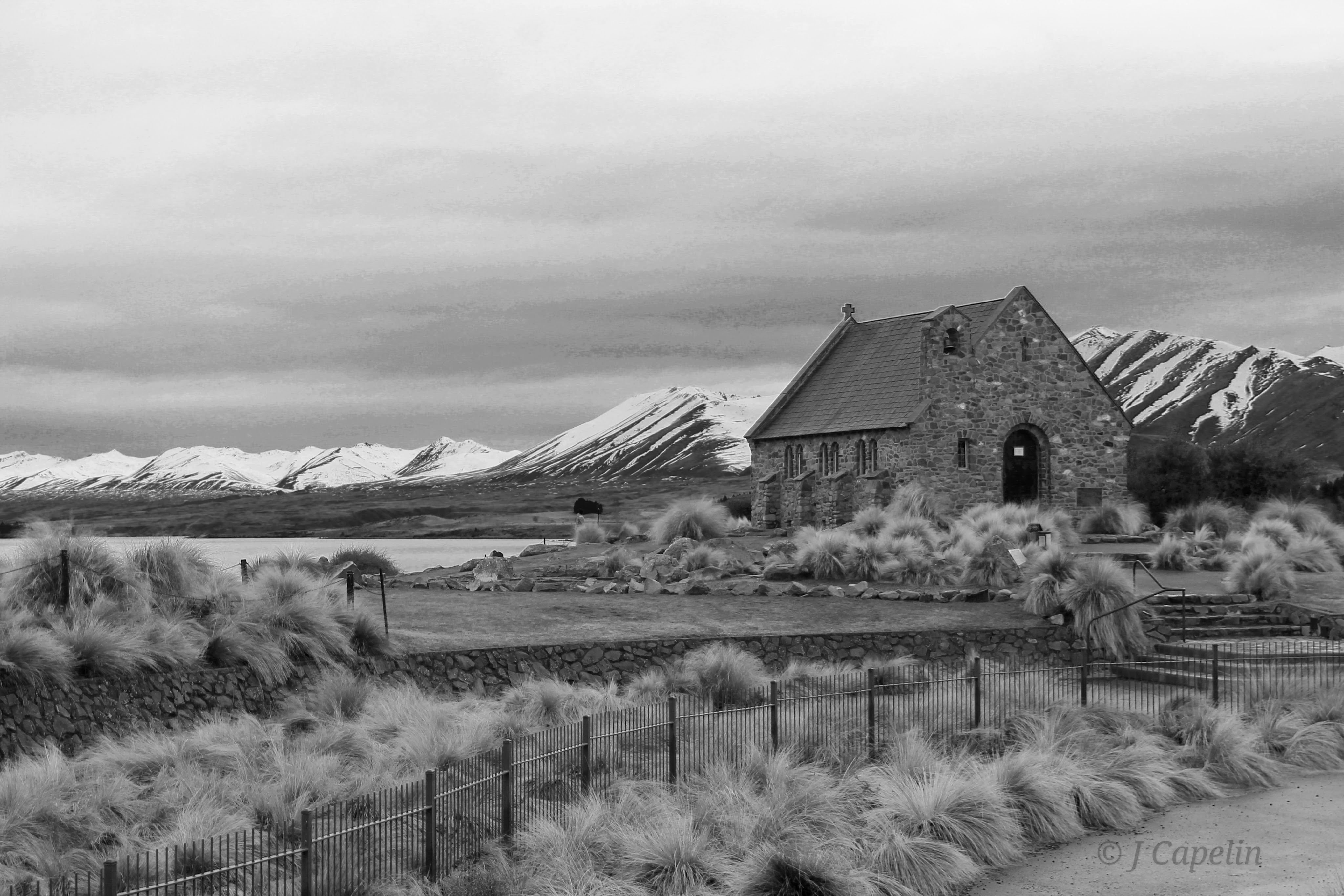
Church of The Good Shepherd
Lake Tekapo’s brilliant turquoise colour comes from rock minerals ground up in glaciers, which are deposited in the surrounding rivers and lakes when the glaciers melt and move. This is why most of the South Island’s lakes and rivers have such stunning water.
Lake Tekapo is famous for its night-sky. The small township’s proximity to the mountains (and not much else) means it has zero light pollution, bringing tourists from all over the World to look at the milky way. So, of course, it rained the night I brought my partner here, after telling him about it for so many years! But mountain weather like this brings its own atmosphere and mysterious beauty. It was still night at 5am when the rain stopped, so we wrapped ourselves up and ventured down to the lake. The cloud had lifted, revealing the wintery mountains that frame Lake Tekapo, but a cold mist still lingered across the sky, covering the stars. The moon glared through, its halo lighting up the snow on the mountains as they slowly turned purple, and we sat on the cold rocks with a hot coffee waiting for it to get light.
Accommodation: Lake Tekapo Cottages <$120 NZD – 1 night
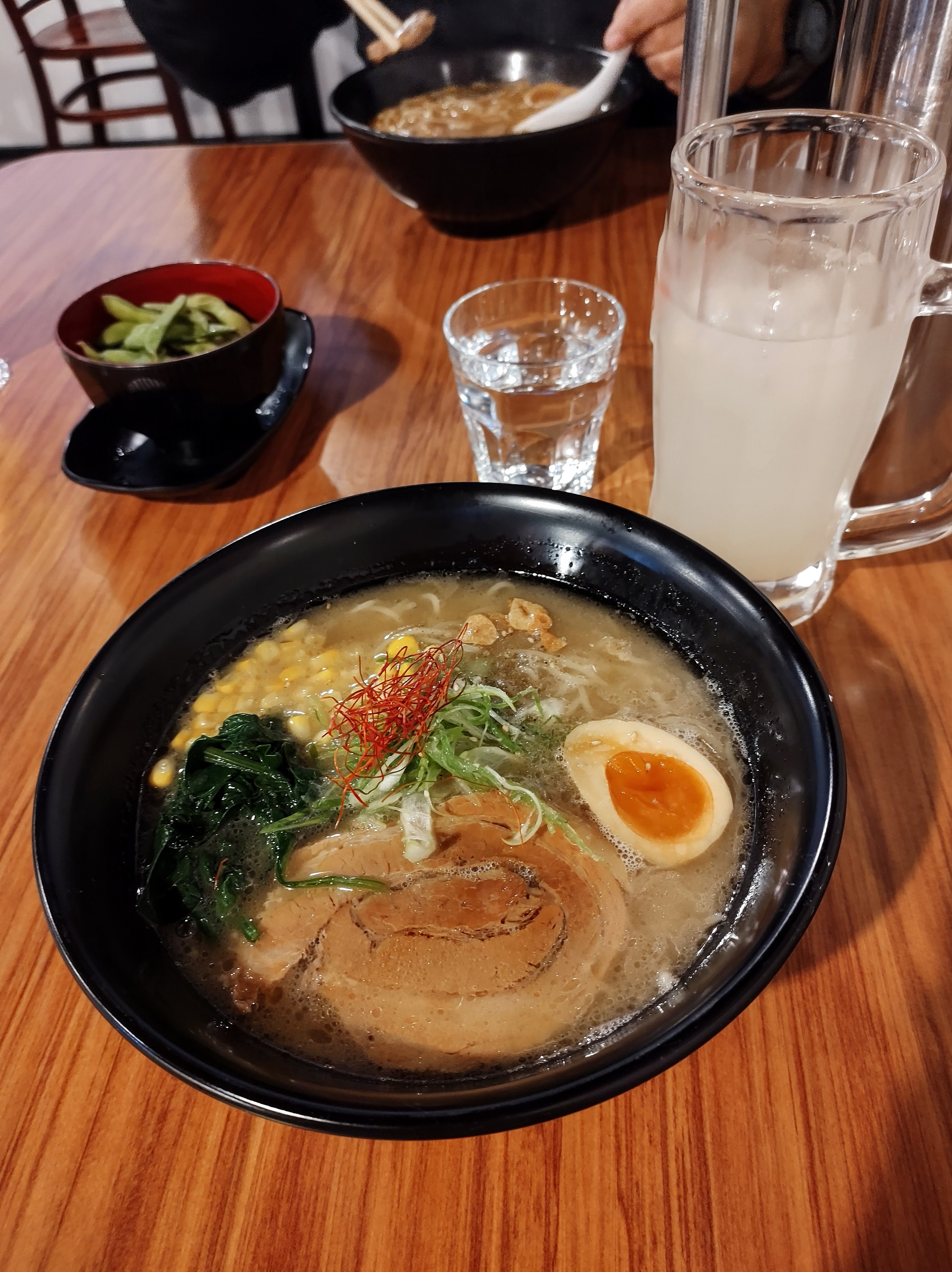
Food & Drink: Ramen Tekapo (Japanese ramen), Doughboys Bakery (early morning coffee), Greedy Cow Cafe (brunch)
Drive Time: Kaikōura – Lake Tekapo: 5.5 hours
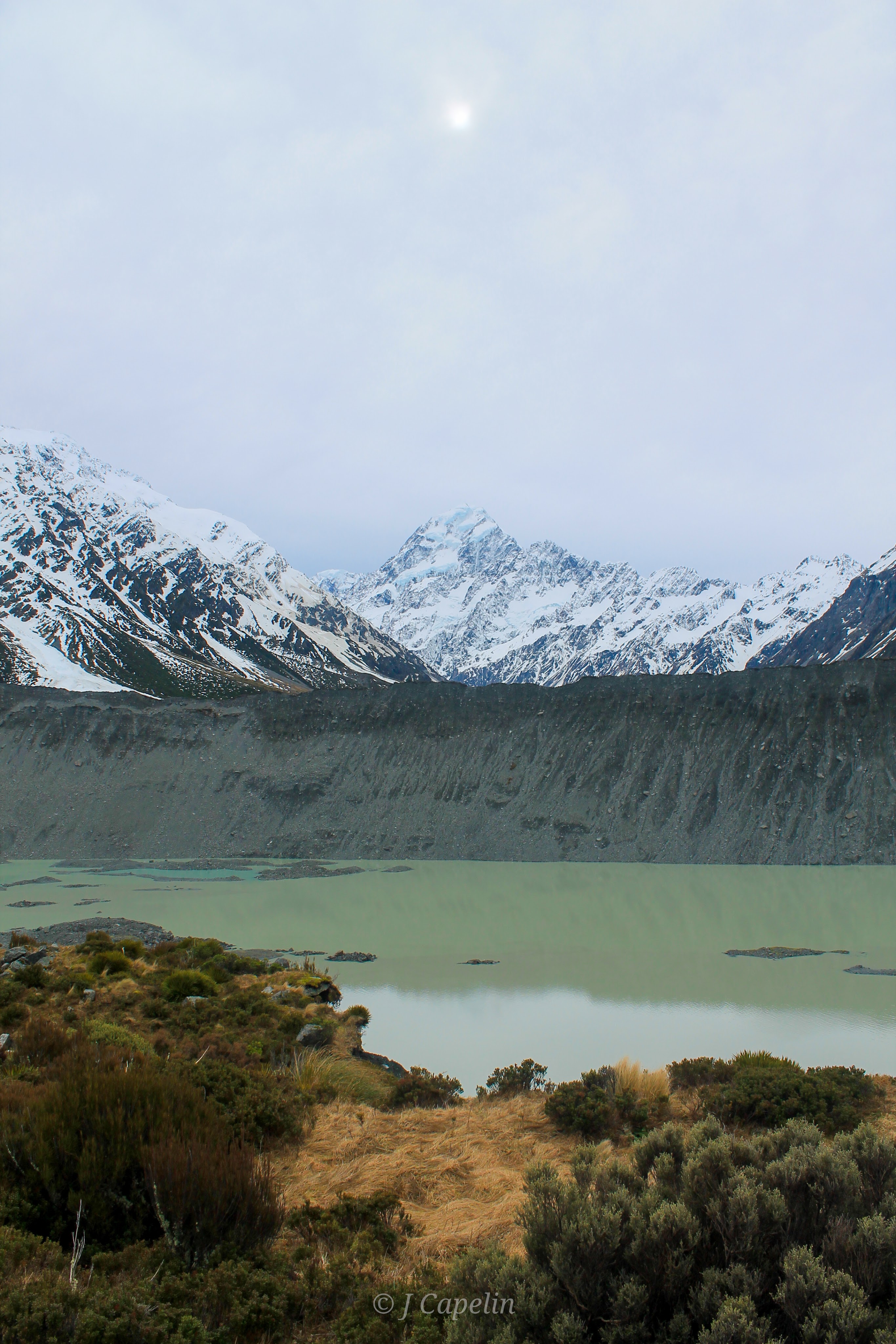
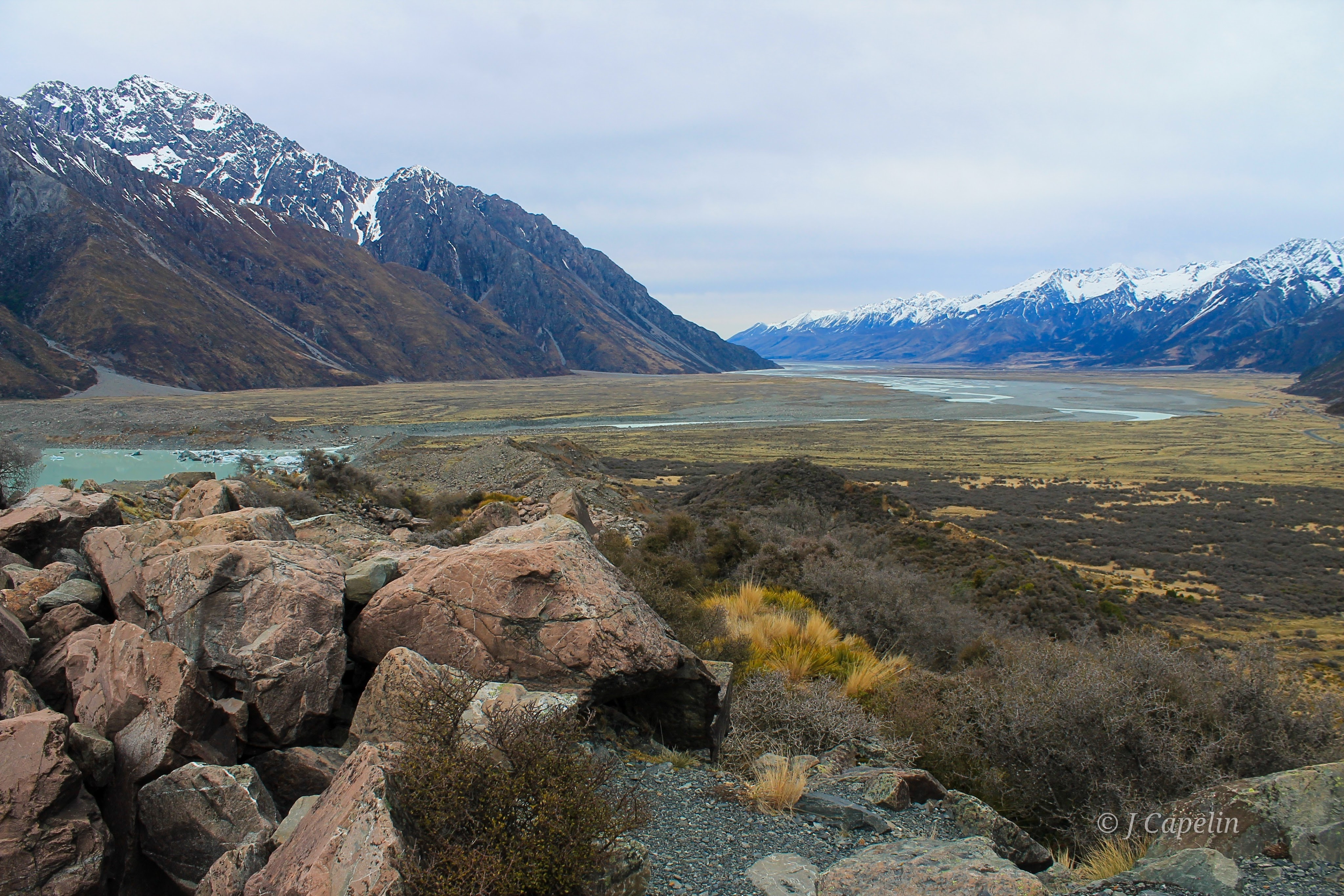
Aoraki
A bright sky led us South through Mackenzie Country to Lake Pukaki, and I thoroughly enjoyed driving this leg. The open road in the early morning; jagged touches of snow between icy lakes and streams – New Zealand was beginning to show us the Winter Wonderland it could be. The road to Aoraki (Mt Cook) skirts the Western edge of Lake Pukaki, and Aotearoa’s tallest mountain rises up over the lake before you as you approach. There is a small community at the end of the road, and a tourist information centre about as big as the village, complete with an Edmund Hillary exhibition (it’s no surprise that one of the first people to summit Everest grew up with this as his back yard.)
Scenic flights are an option to see this iconic landscape, along with things like heli-skiing and mountain climbing, but hiking (or ‘tramping’ as they say in NZ) is the most popular activity (and it’s free!) There are at least 12 hikes in the national park, ranging from 10 mins to 3 days. We chose two short hikes; one in each section to get the most out of our time.
You can download the Department of Conservation walking track guide here > https://www.doc.govt.nz/parks-and-recreation/places-to-go/canterbury/places/aoraki-mount-cook-national-park
Kea Point – Village Section
Gently ascending through Alpine scrubland around the foothills, the path opens out into a 180 degree viewing platform over The Hooker Valley. The light was flat and glaring, but at least the clouds were high enough to see the mountain peaks. Mueller Glacier and Mt Sefton stand across the milky hues of the Glacier Lake, while Aoraki (Mt Cook) looms in the background.
Walking Time: 50 mins return from White Horse Hill Campground.
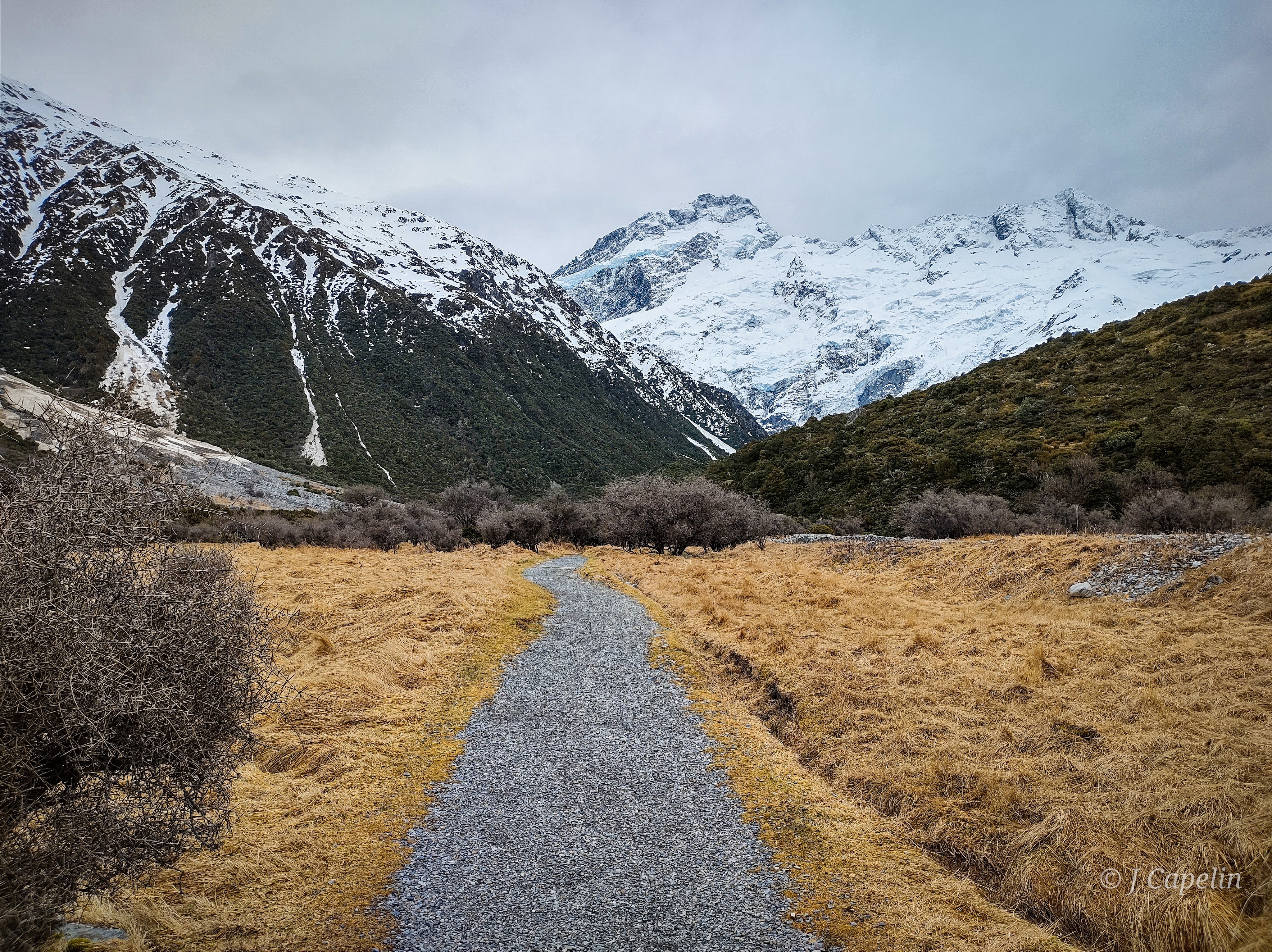
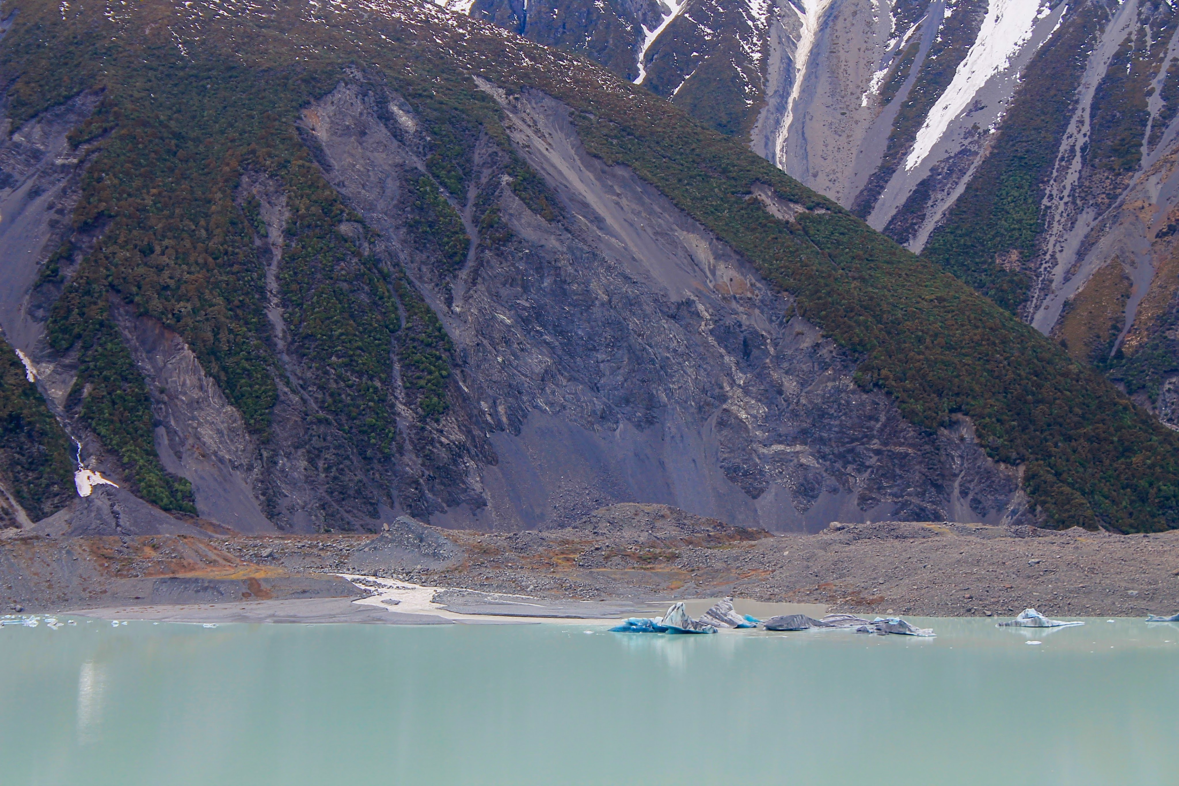
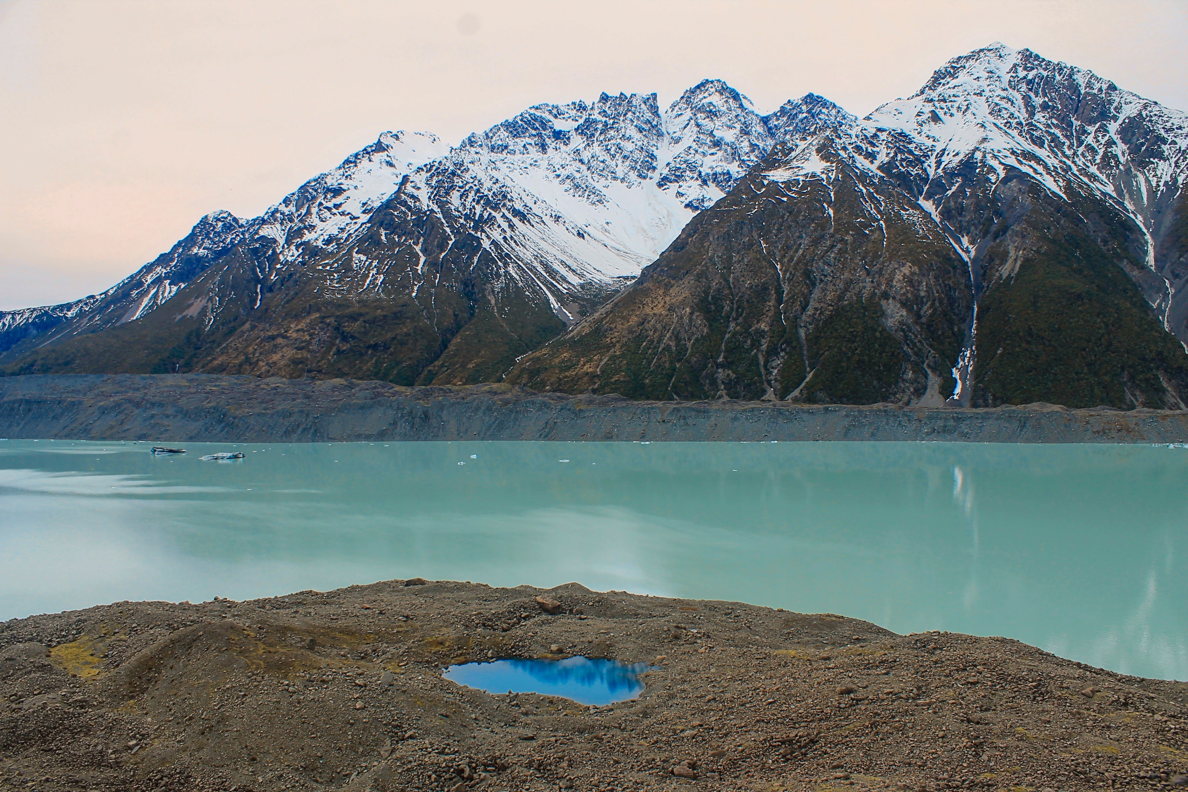
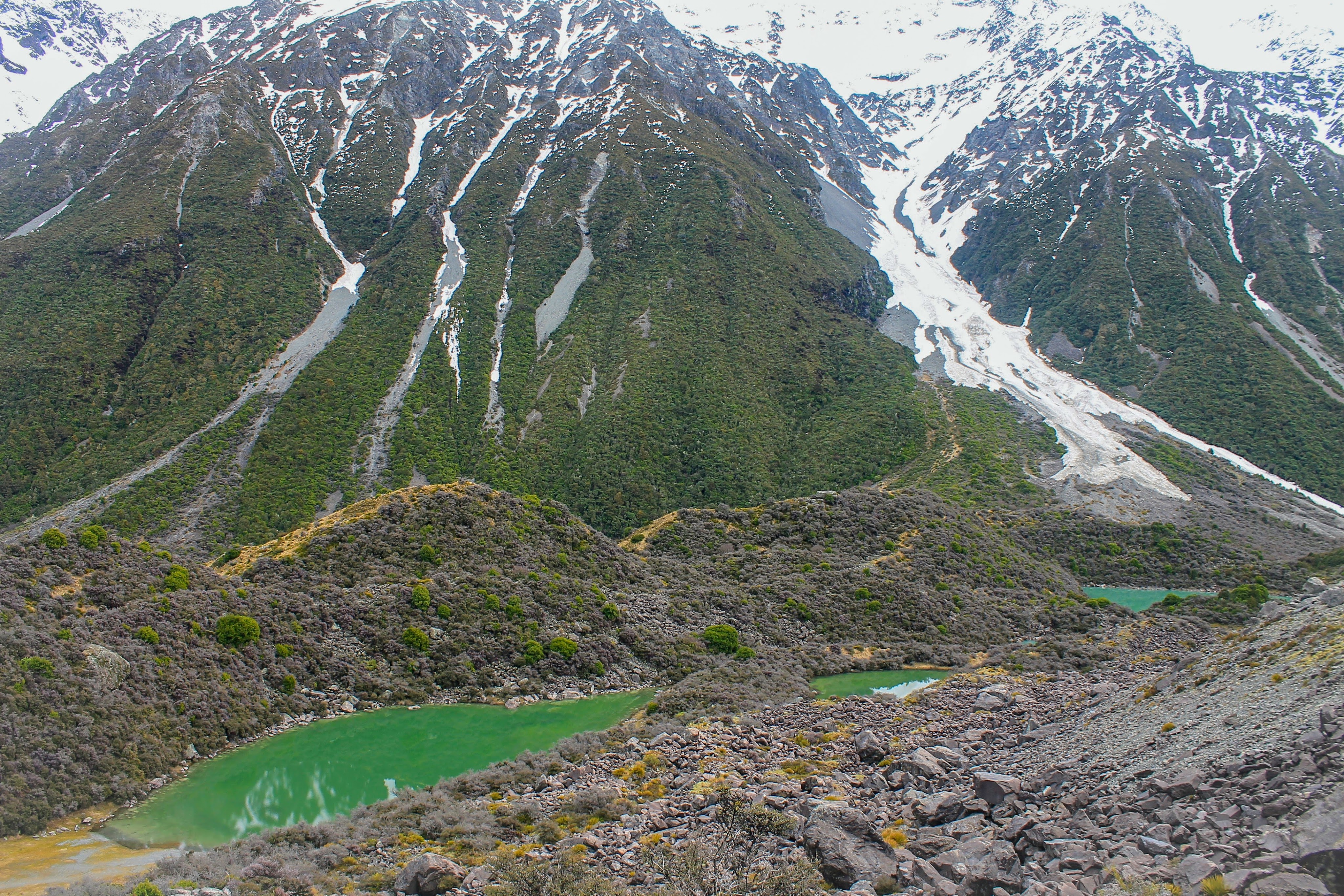
Blue Lakes & Tasman Glacier – Tasman Valley Section
A rocky staircase winds up the moraine wall, revealing an other-worldly panorama at the top. Haupapa Glacier encroaches from the mountains into its lake, where blue-dipped icebergs drift. Back to the South, the Tasman River meanders through the valley where it eventually fills Lake Pukaki.

On the return walk, we stopped to admire the contrasting reflections in the Blue Lakes, nestled between snow peaks.
The Blue Lakes are actually green since the freezing glacial water no longer feeds them, due to shrinking glaciers. This has made the water warmer, and allowed green algae to grow. Despite this, the Department of Conservation still deem the pools safe to swim in during summer.
Walking Time: 30 mins return from Blue Lakes Carpark.
(Click on any photo to enlarge.)
Drive Time: Lake Tekapo – Aoraki: 1 hour 15 mins
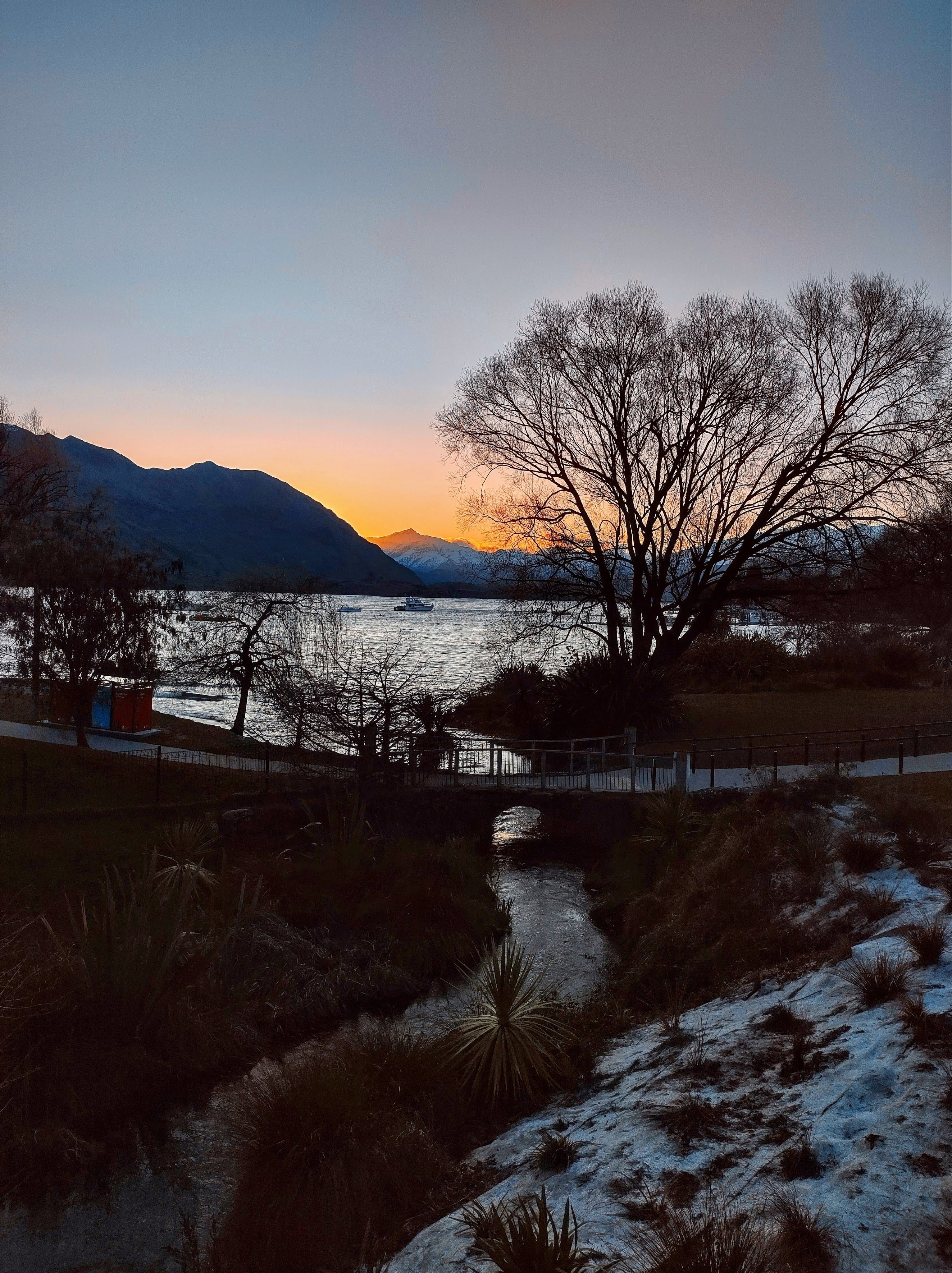
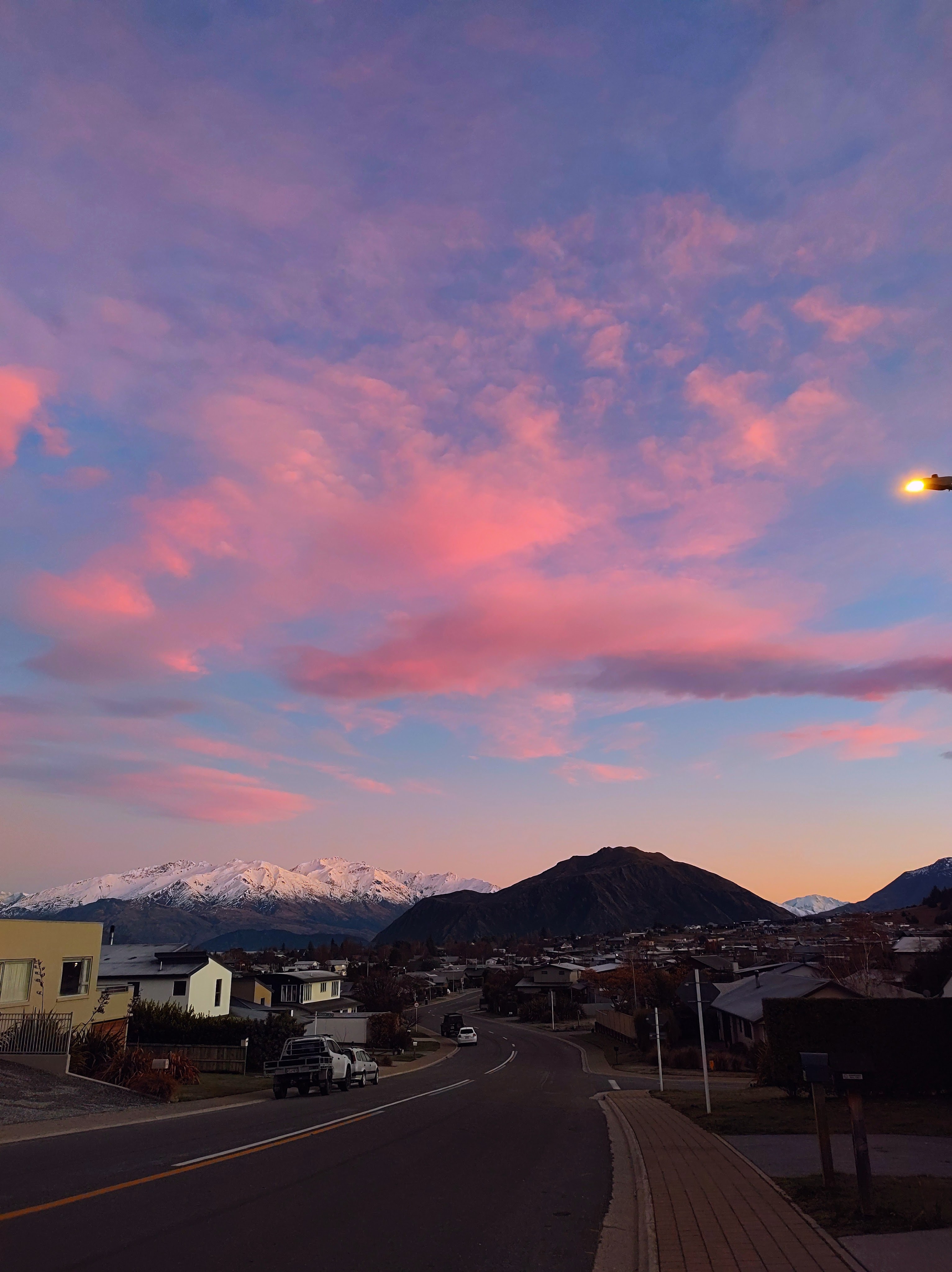
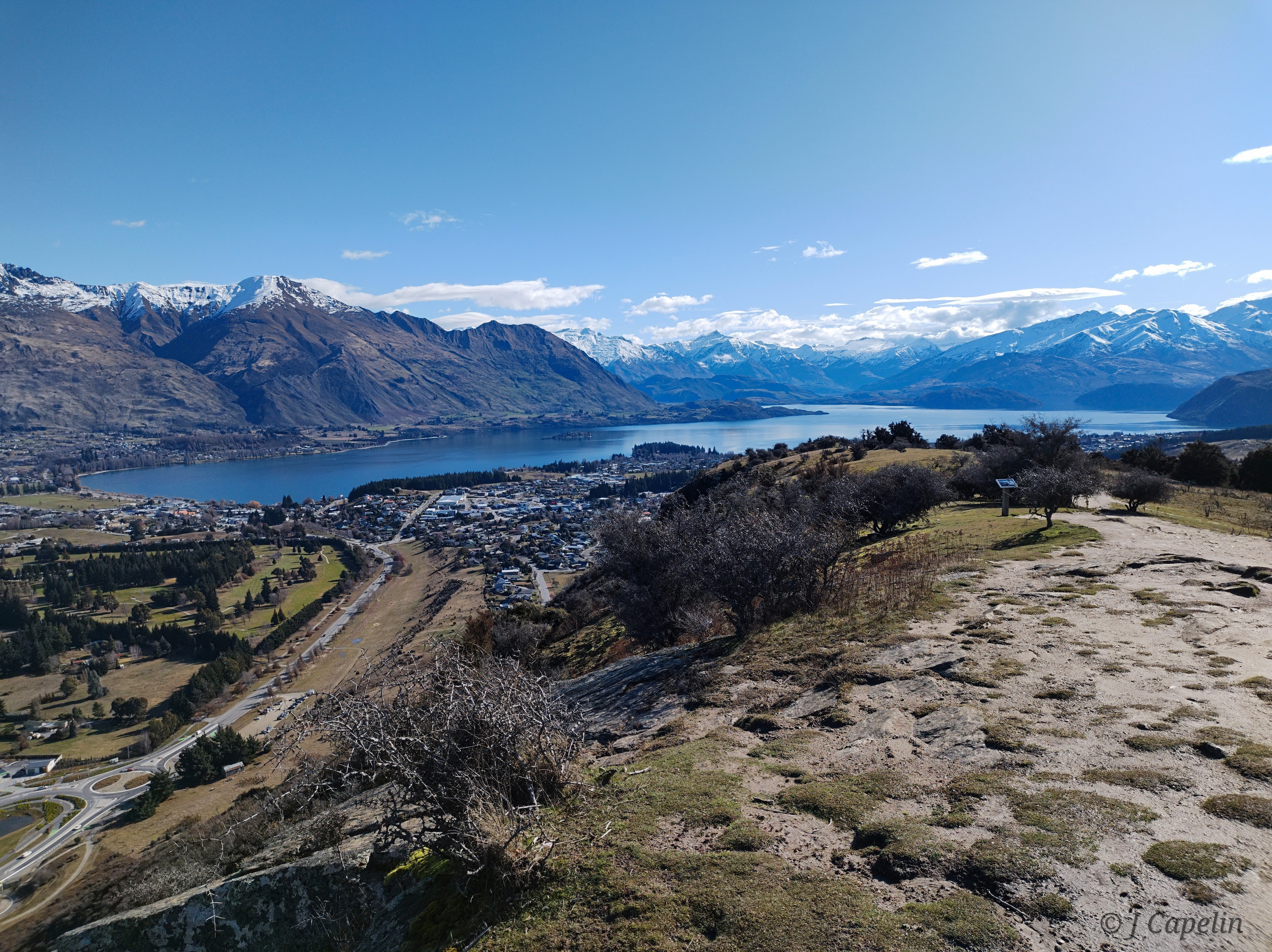
Wānaka
When I came to Wānaka to live many years ago, I described the season as a ‘crisp, colourful winter, in which every sunset paints the lake a different story.’ I vividly remember the smell of wood smoke from the chimneys beneath dark snow clouds, and the stacks of firewood under the coloured lights in Post Office Lane. Well none of that has changed, and coming back to visit always makes part of me feel like I’m home.
We used Wānaka as a base for snowboarding, visiting the nearby towns, and of course taking in the local sights. There are several stunning hikes around Wānaka and Mt Aspiring National Park, but we didn’t have the hiking gear for winter, so we stuck to the more local walks.
Mount Iron
The local exercise hill, Mt Iron, is a fairly short but steep walk. The sun had the warmth of spring on its breath as we climbed and we were soon in our T-shirts, quads burning by the time we reached the top. The spectacular view across the town and the lake stole the fresh mountain air from our lungs.
Waterfall Creek Track
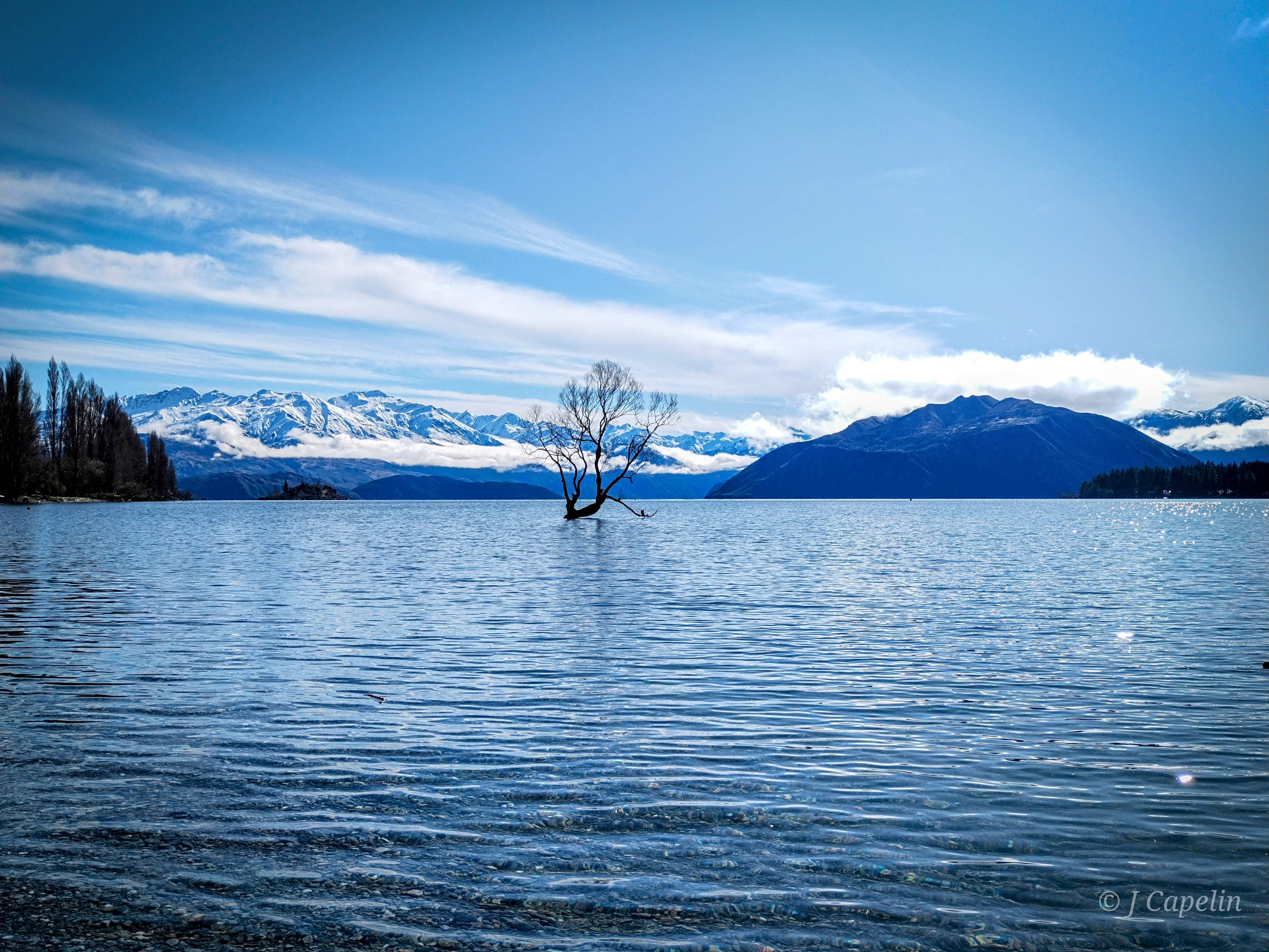
A gorgeous flat walk around Lake Wānaka, which takes you along side the pebbly waterfront, and past the tapering vines of Rippon Vineyard. This walk provides good views of Ruby Island, and of course, the Wānaka Tree – thanks to instagram, this tree in the lake is famous, and nowadays it attracts many tourists aiming for that perfect shot.
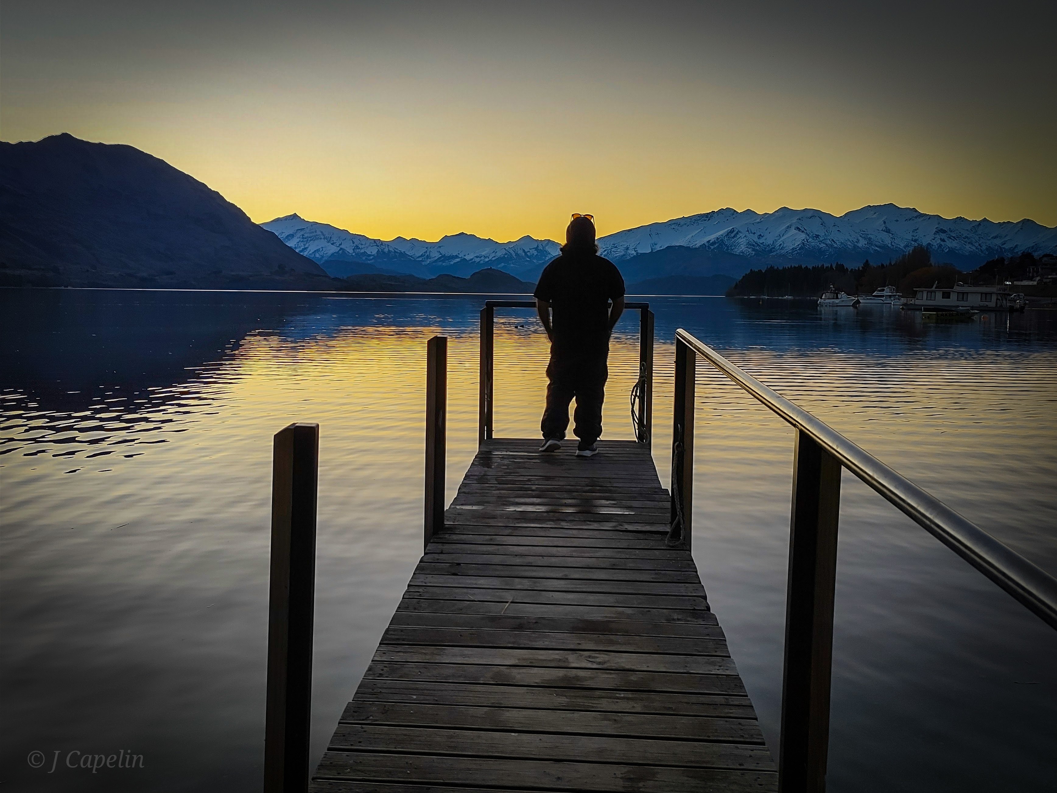
Beacon Point
One evening we headed to Beacon Point for sunset. It was freezing, but the view of Mt Aspiring National Park across the lake was perfect under the setting sun.

Around Town
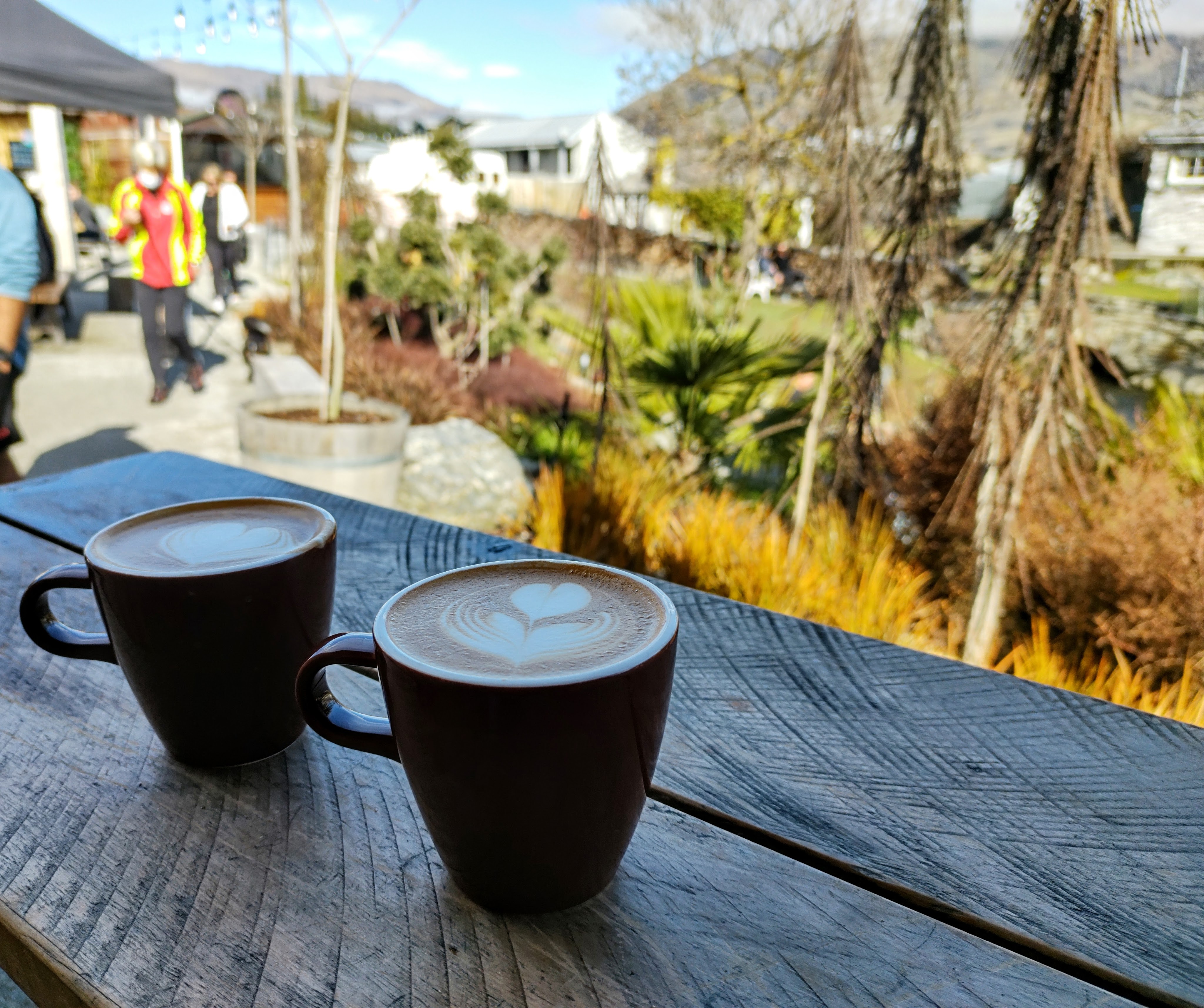
We spent hours wandering around the little town, window shopping for local crafts and stopping in bars and pubs for refreshment. All the while that stunning lake is right there, tempting your eyes for a glance, and every time you look it seems to get more beautiful. There is so much variety of food, drink, fashion and gifts in Wānaka, there’s something for everyone.
The cost of living is generally high in NZ, and eating out can get expensive. Wānaka’s supermarkets may be some of the more expensive in the country, but it’s a cheaper alternative. We found that New World does takeaway style meals for two – much better than your average ready meal – and all you need in your accommodation is a microwave. We also utilised their bakery section for quick on-the-go lunches.
It’s worth mentioning the impact of the pandemic on the hospitality sector. Every food & drink venue was either fully booked or closed due to staffing. The hospitality staff were holding on by their fingertips, battling understaffing, and the isolation restrictions in place at the time. There were signs in windows screaming out for employees, or asking for your patience because they simply didn’t have enough staff. Unfortunately due to rent inflation, travellers were less likely to take these seasonal jobs because there was nowhere affordable to live, which is an ongoing issue globally.
Accommodation: Private Studio on Kings <$1,190 NZD – 8 nights
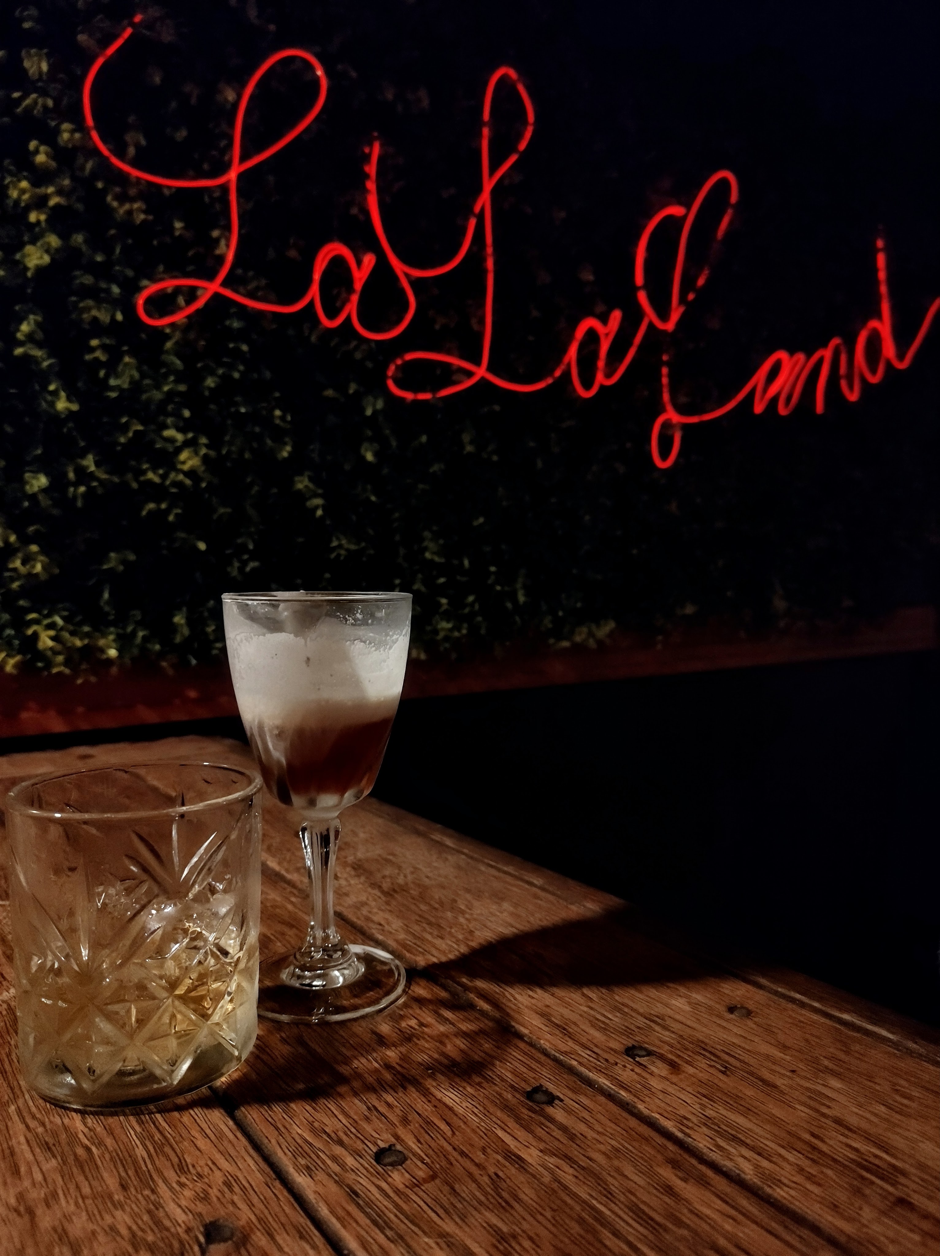
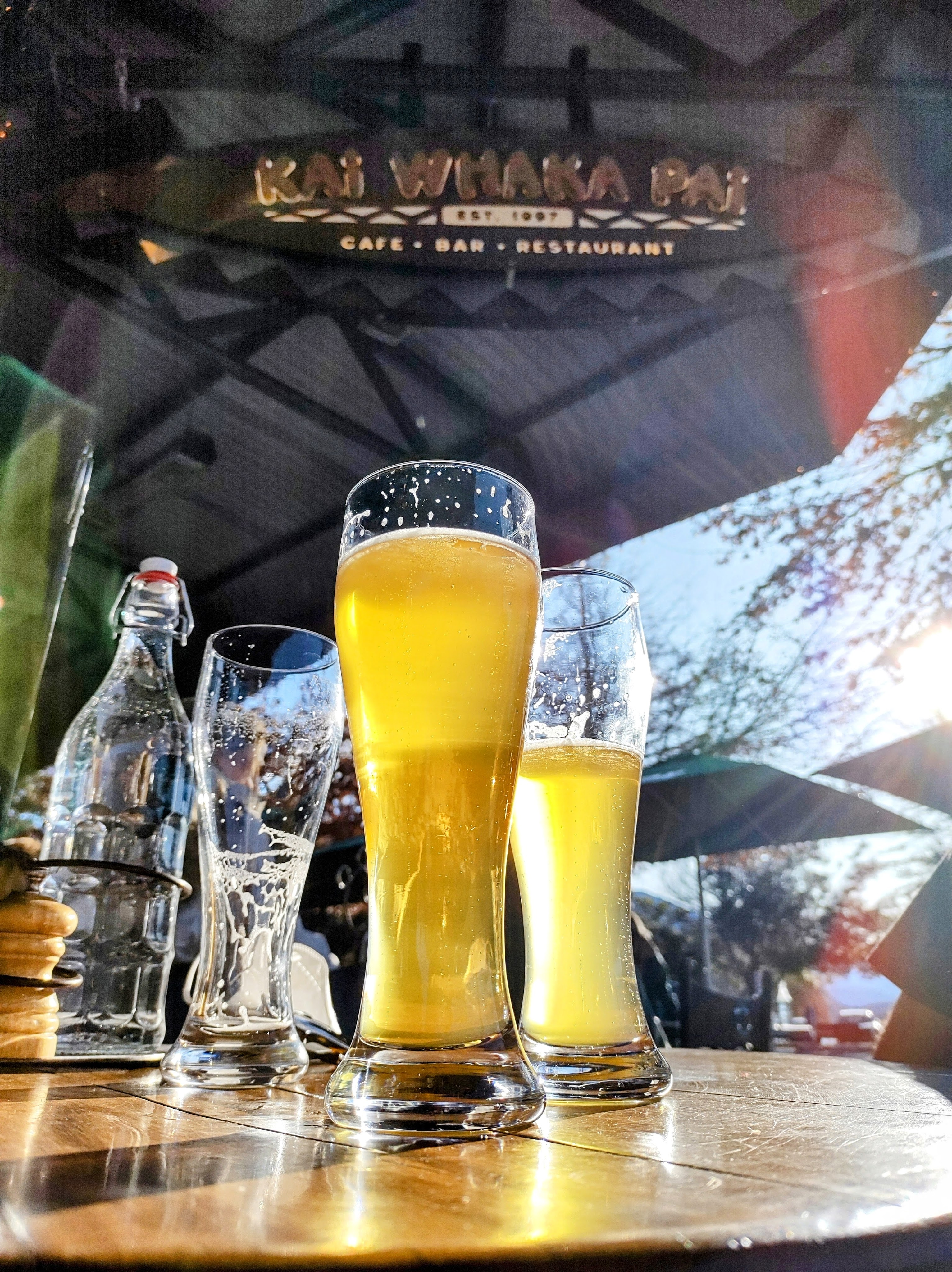
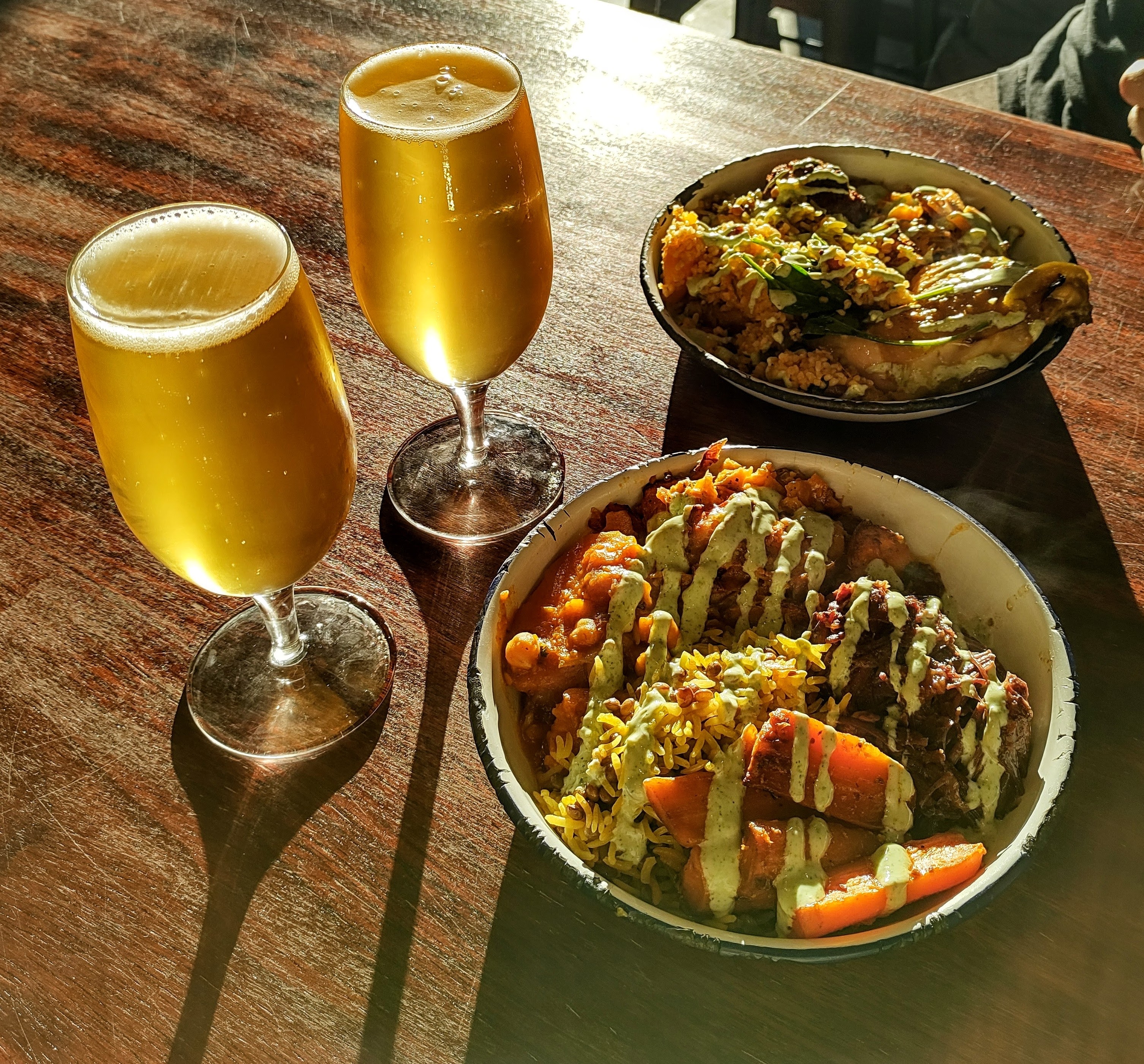
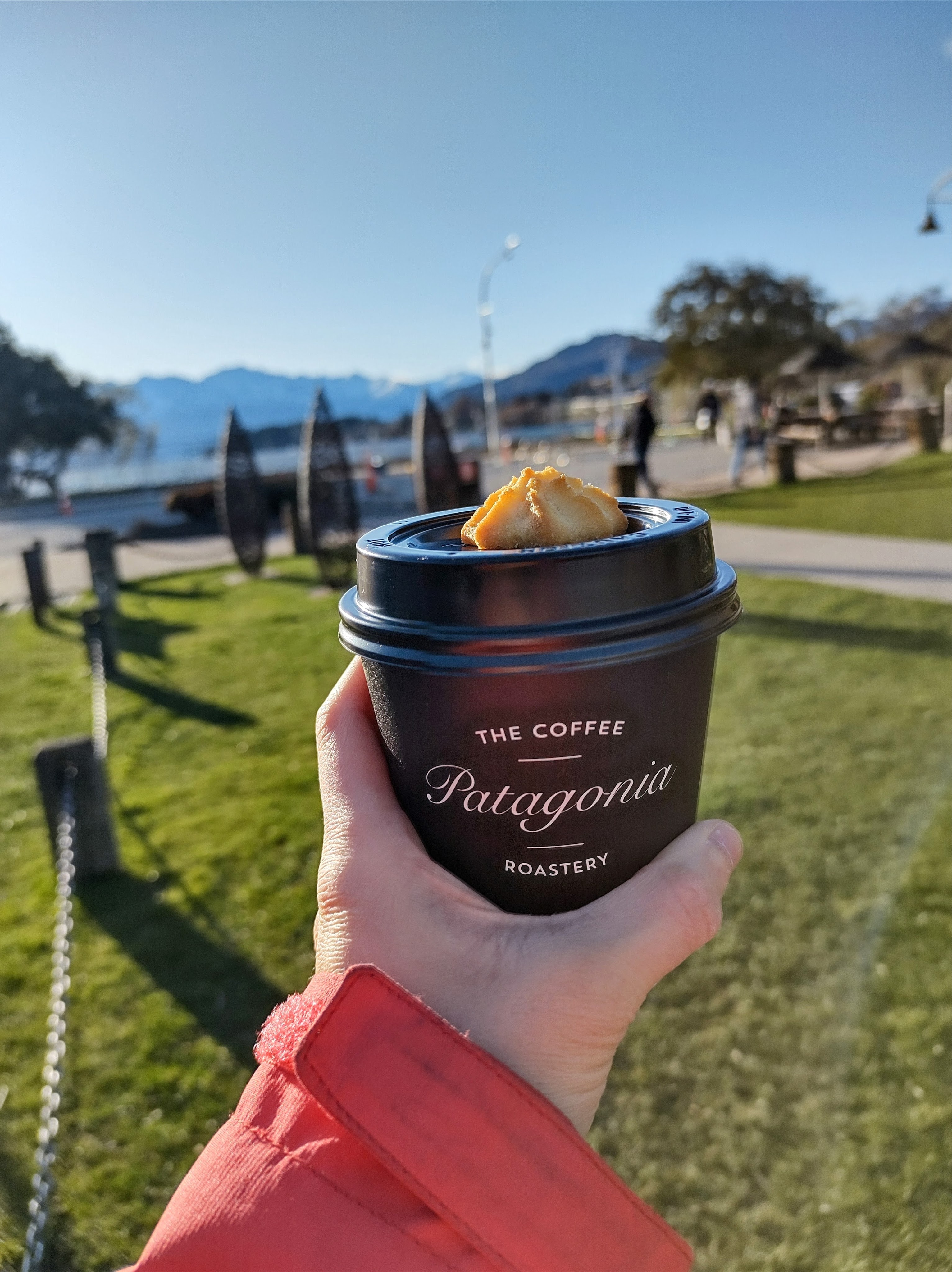
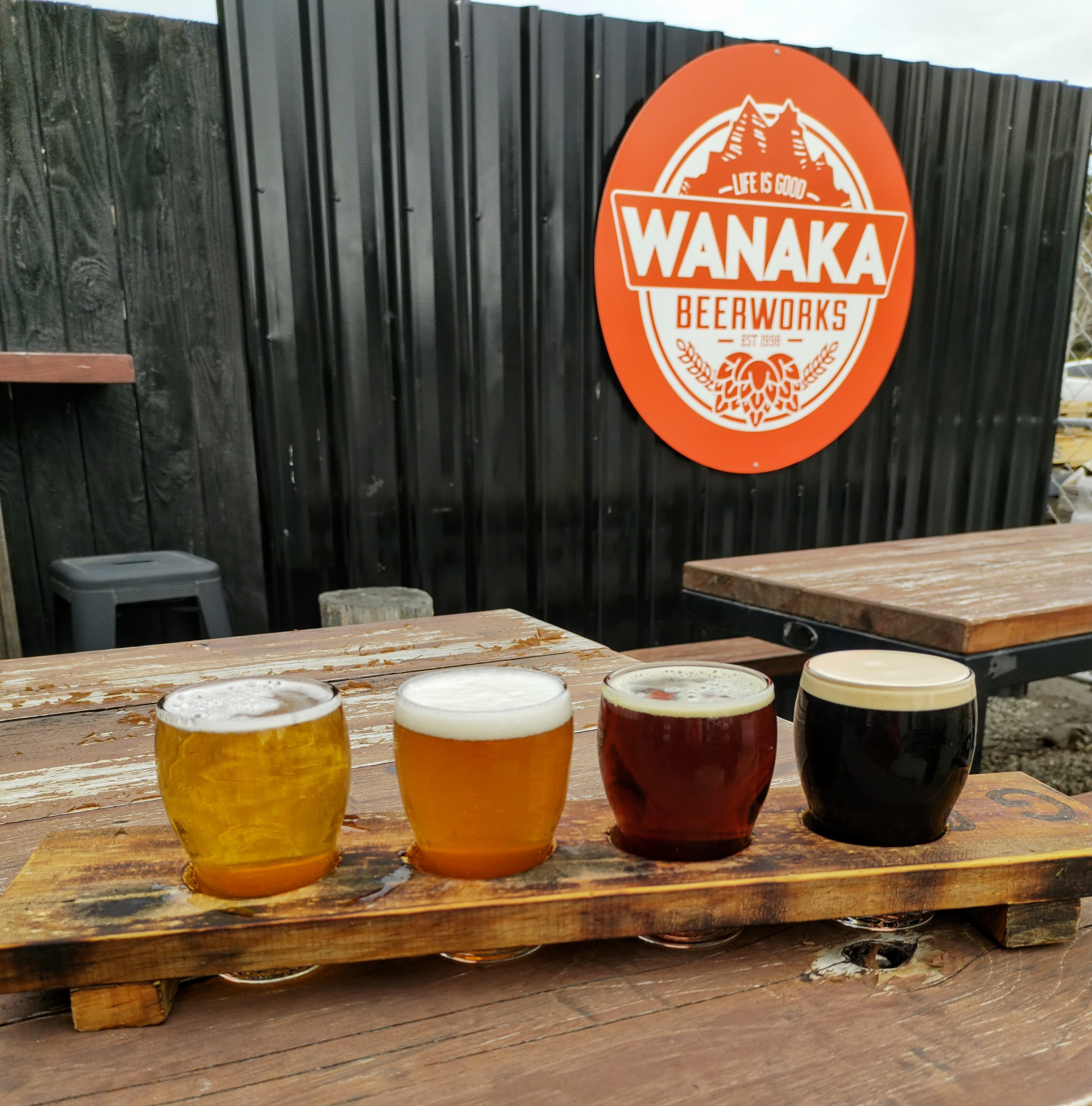
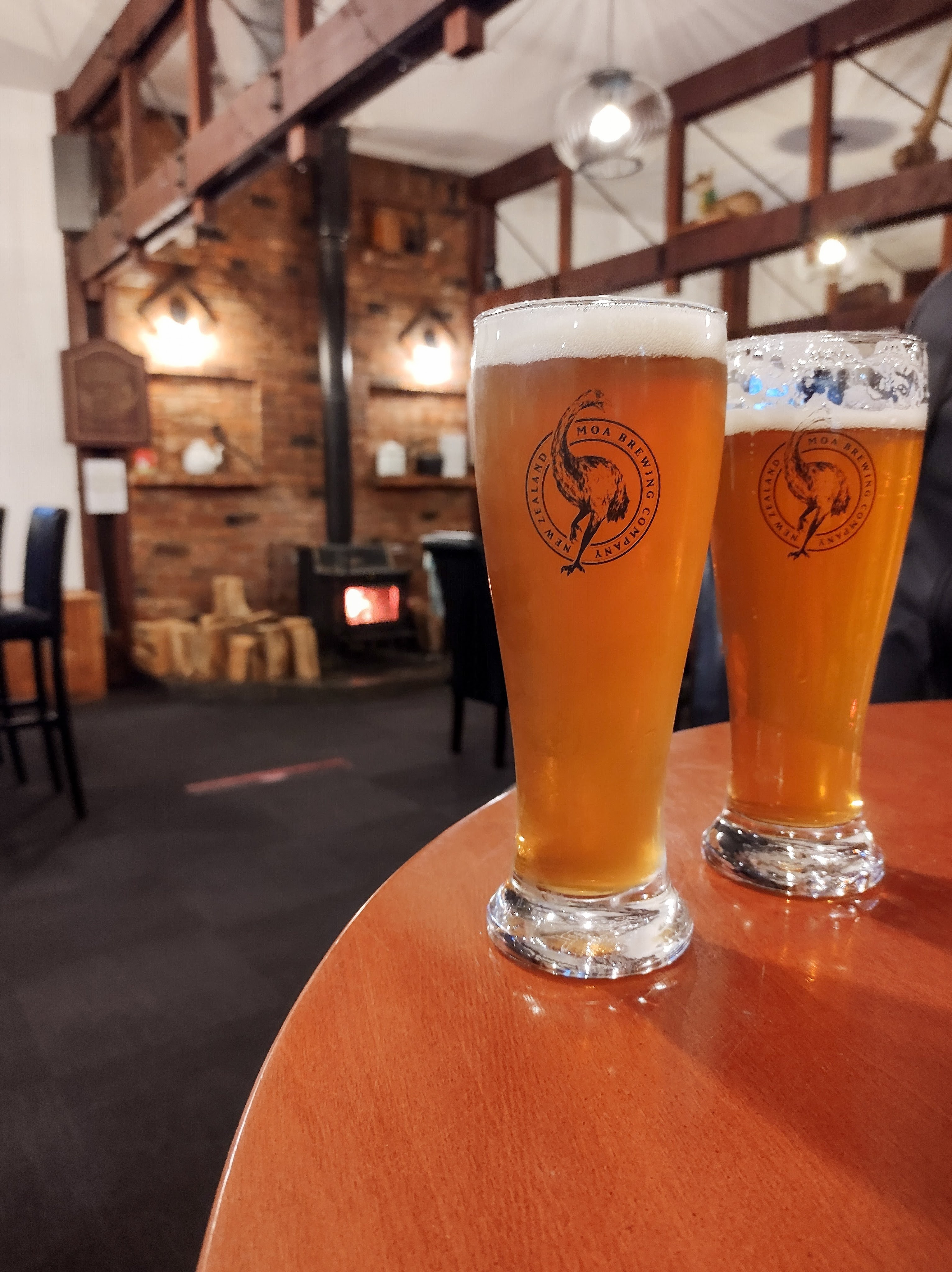
Food & Drink: Water Bar (Pub food), La La Land (Cocktails), Curbside Coffee & Bagels (Coffee cabin), Kai Whakapai (All day cafe/bar), Big Fig (All day cafe, hearty home style food), Patagonia (chocolate shop – best chilli hot chocolate), Burrito Craft (Mexican food trailer), Wanaka Beerworks (Brewery)
Drive Time: Aoraki – Wānaka: 2 hours 20 mins
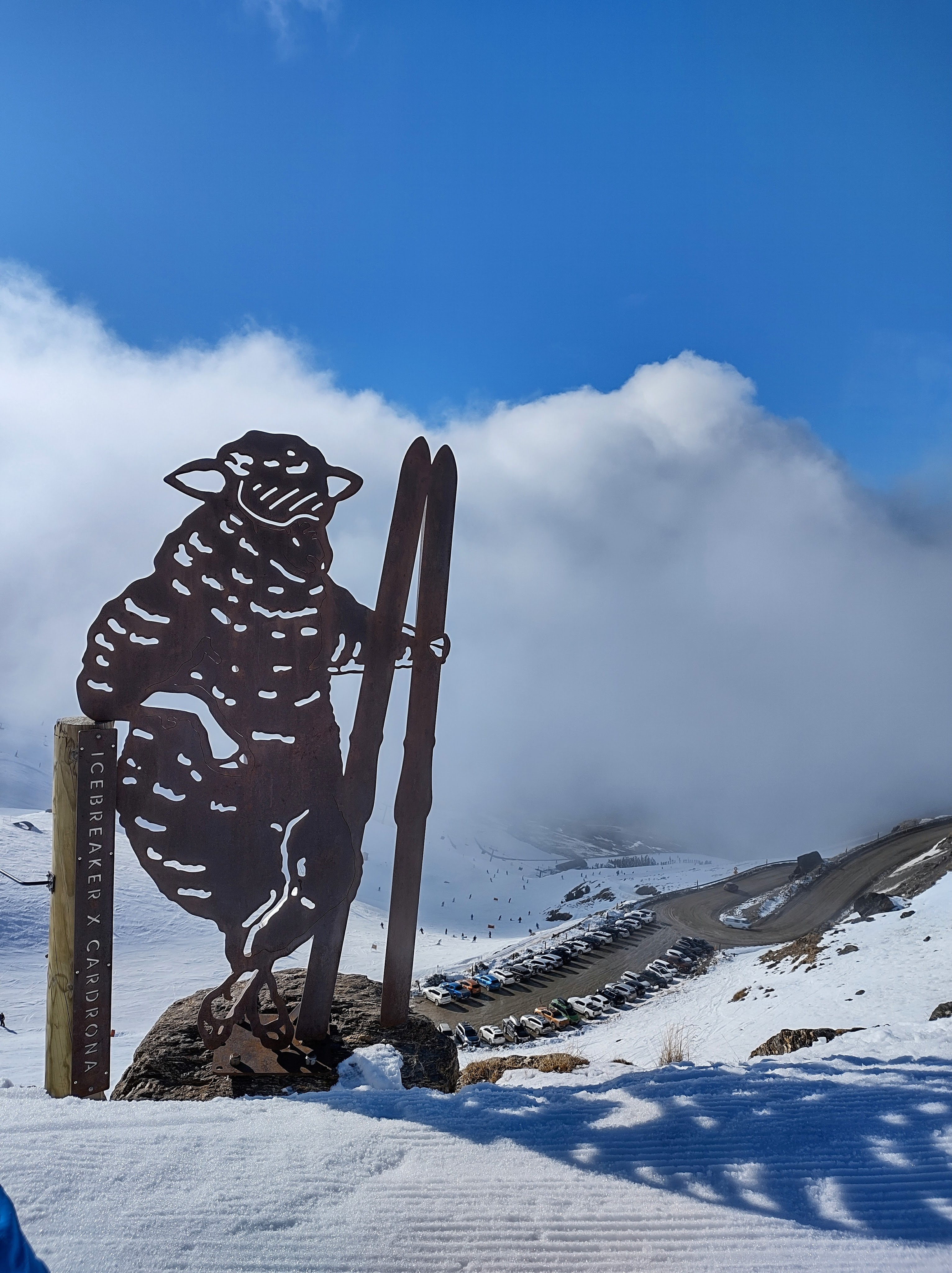
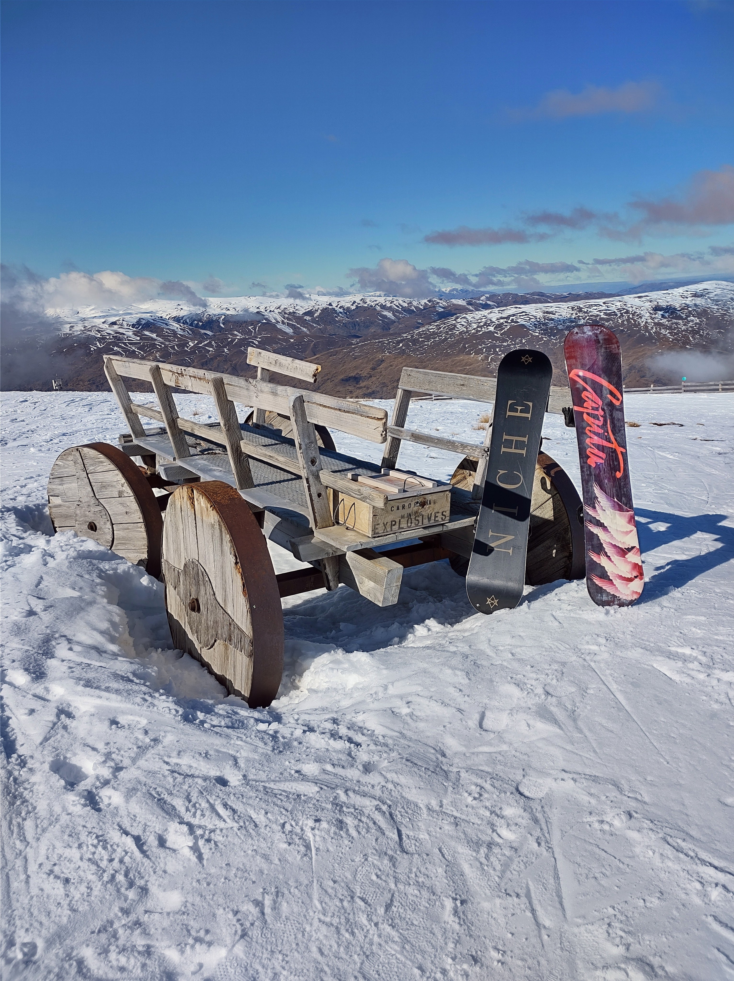
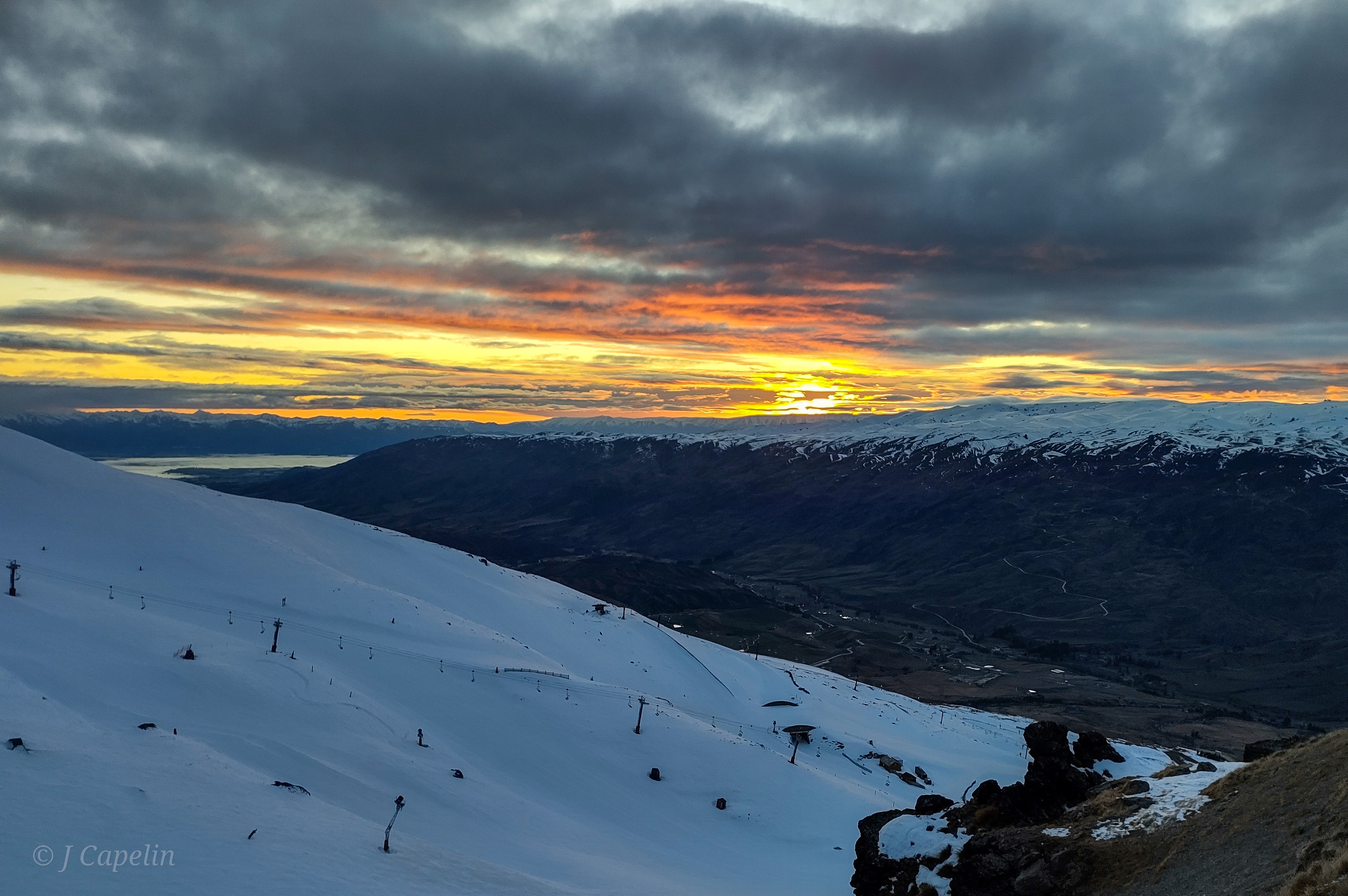
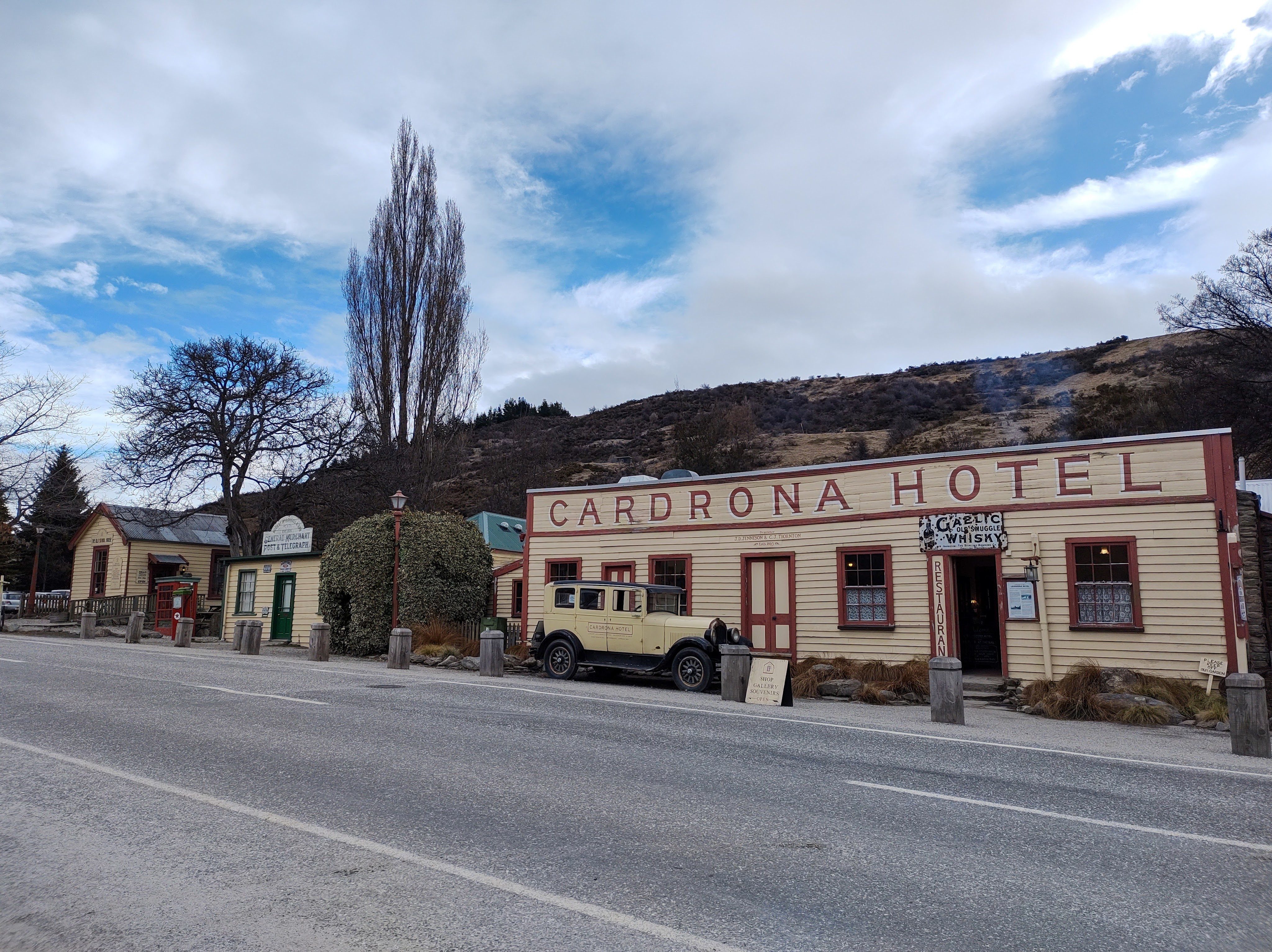
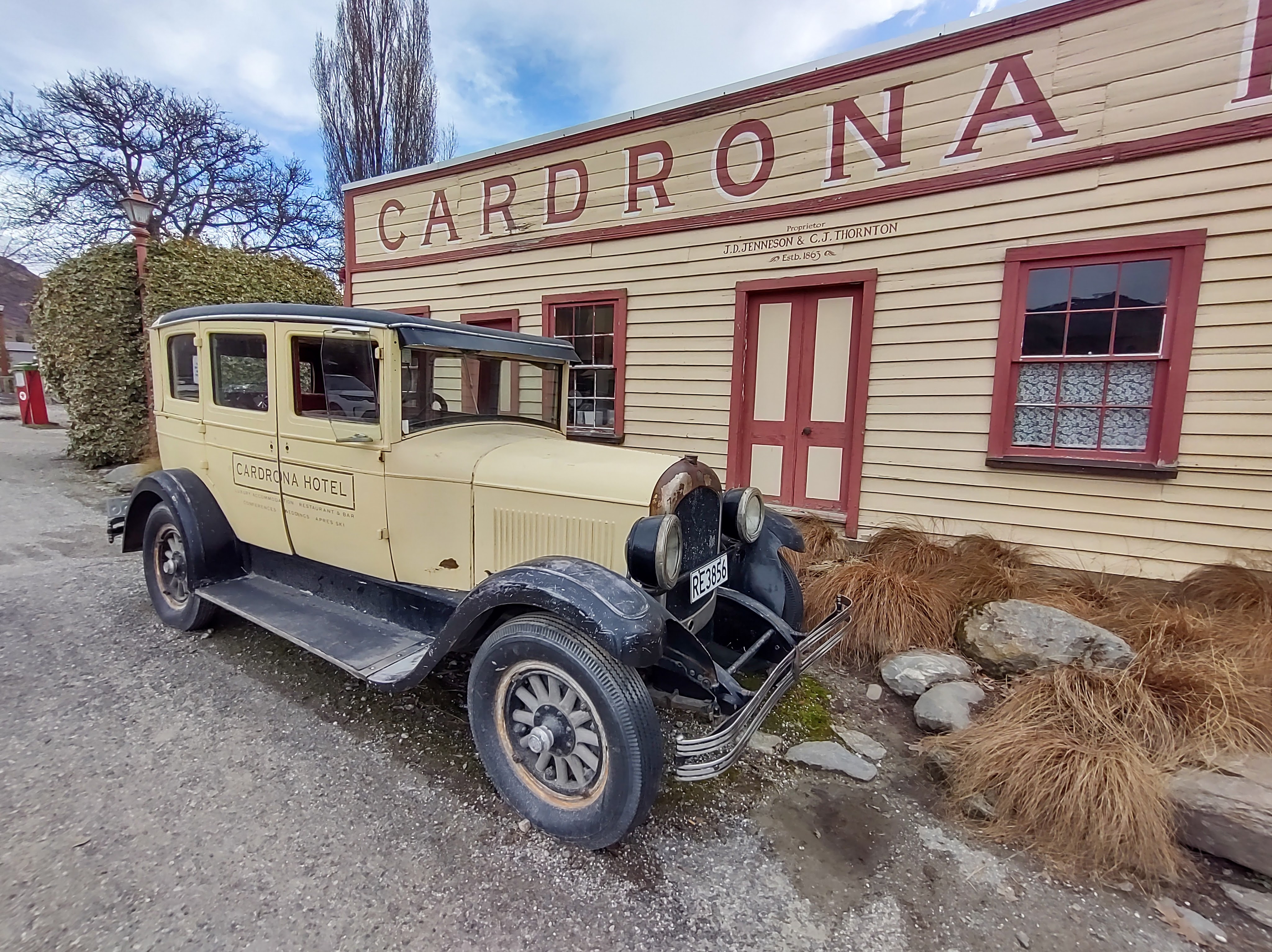
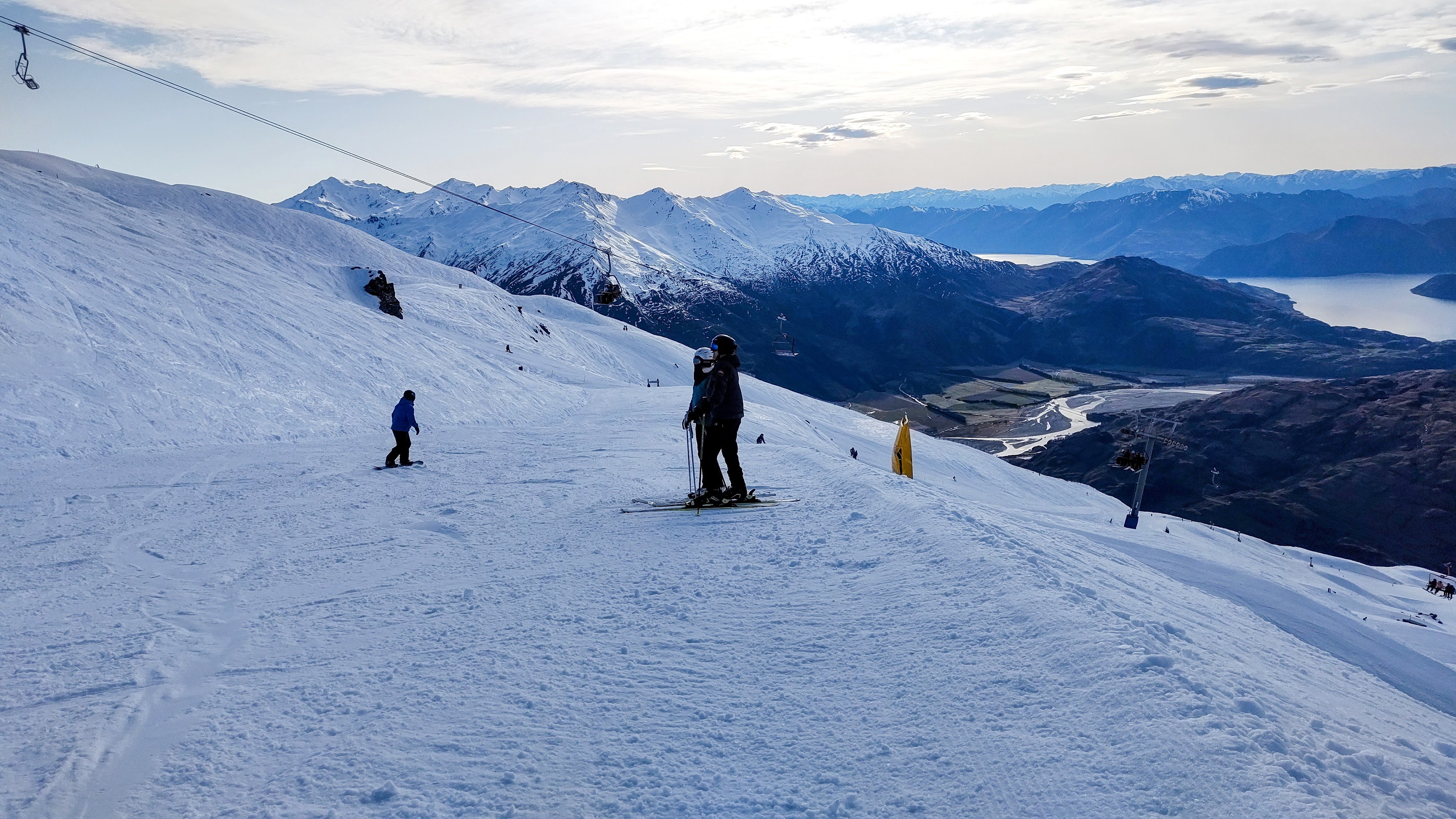
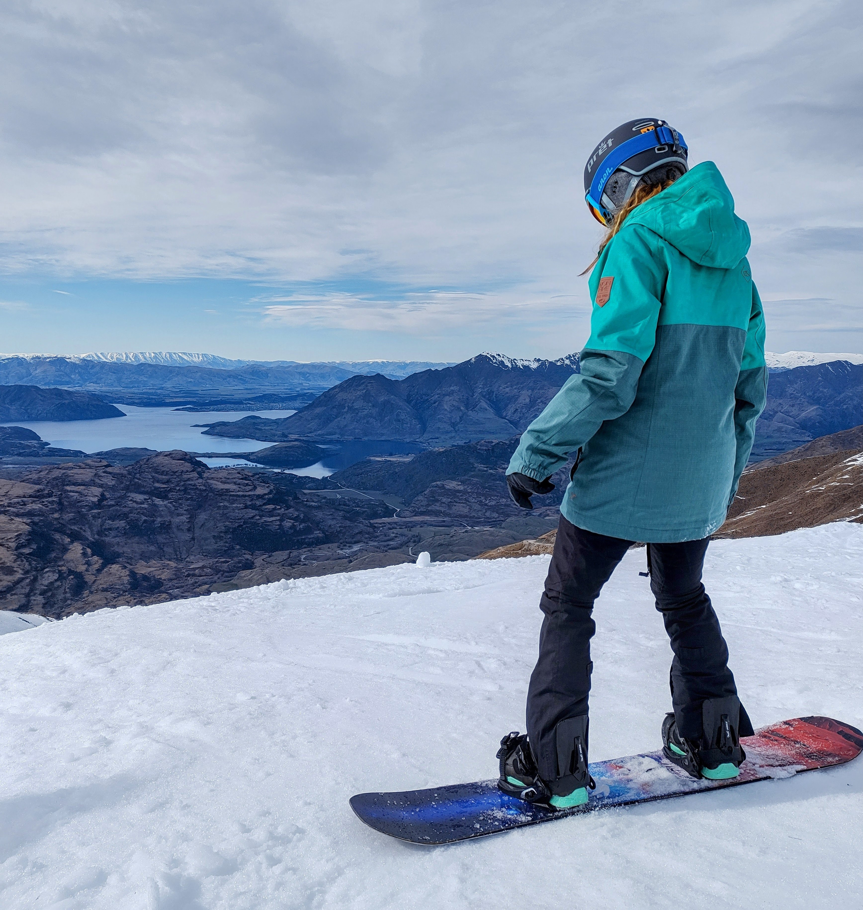
Cardrona & Treble Cone
Cardrona and Treble Cone are two separate ski fields, both about a 40 minute drive from Wānaka, who have teamed up so you can use their lift passes at both locations. Cardrona is located on the Crown Range road and is a great, family friendly ski resort for all abilities, though it is notoriously busy these days. Cardrona is an old haunt for me, and we got treated to a nostalgic ‘Cardie’s’ sunrise on my return.
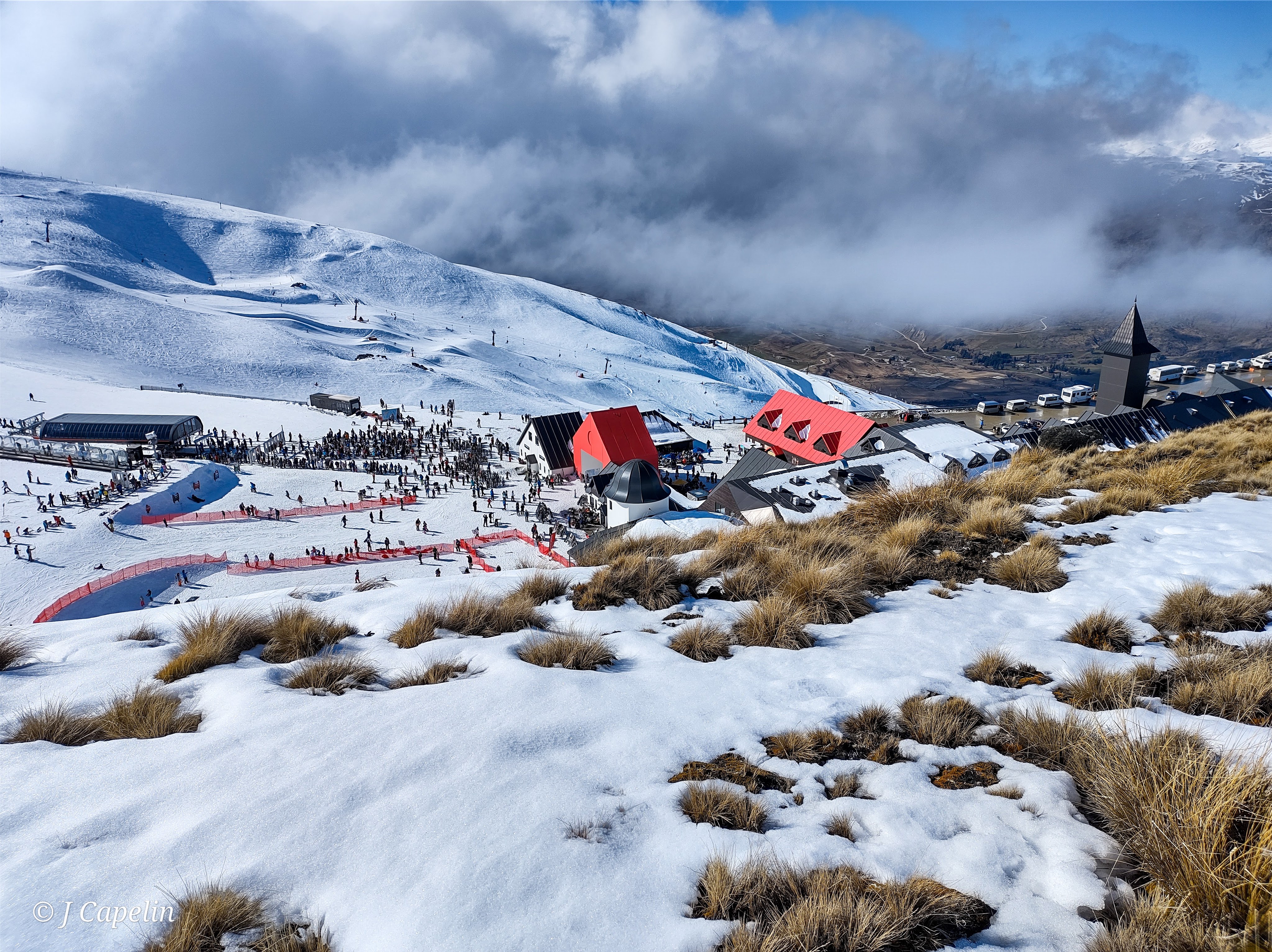
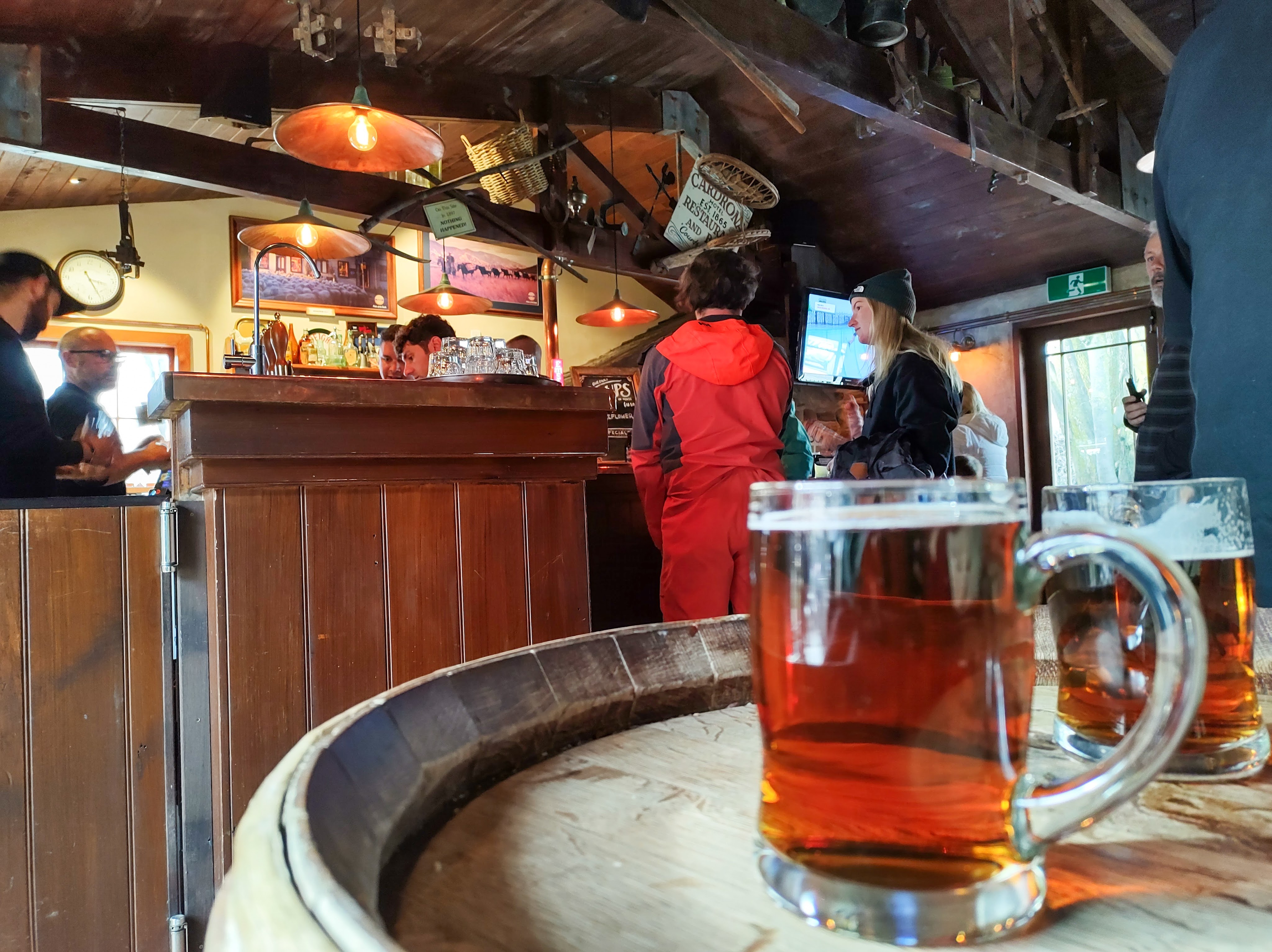
After a big day of sliding around in the early spring snow, we paid a visit to Cardrona’s old gold mining village at the bottom of the mountain, and the beautiful Cardrona Hotel, where the atmosphere was pumping and Après Ski beers were flowing.
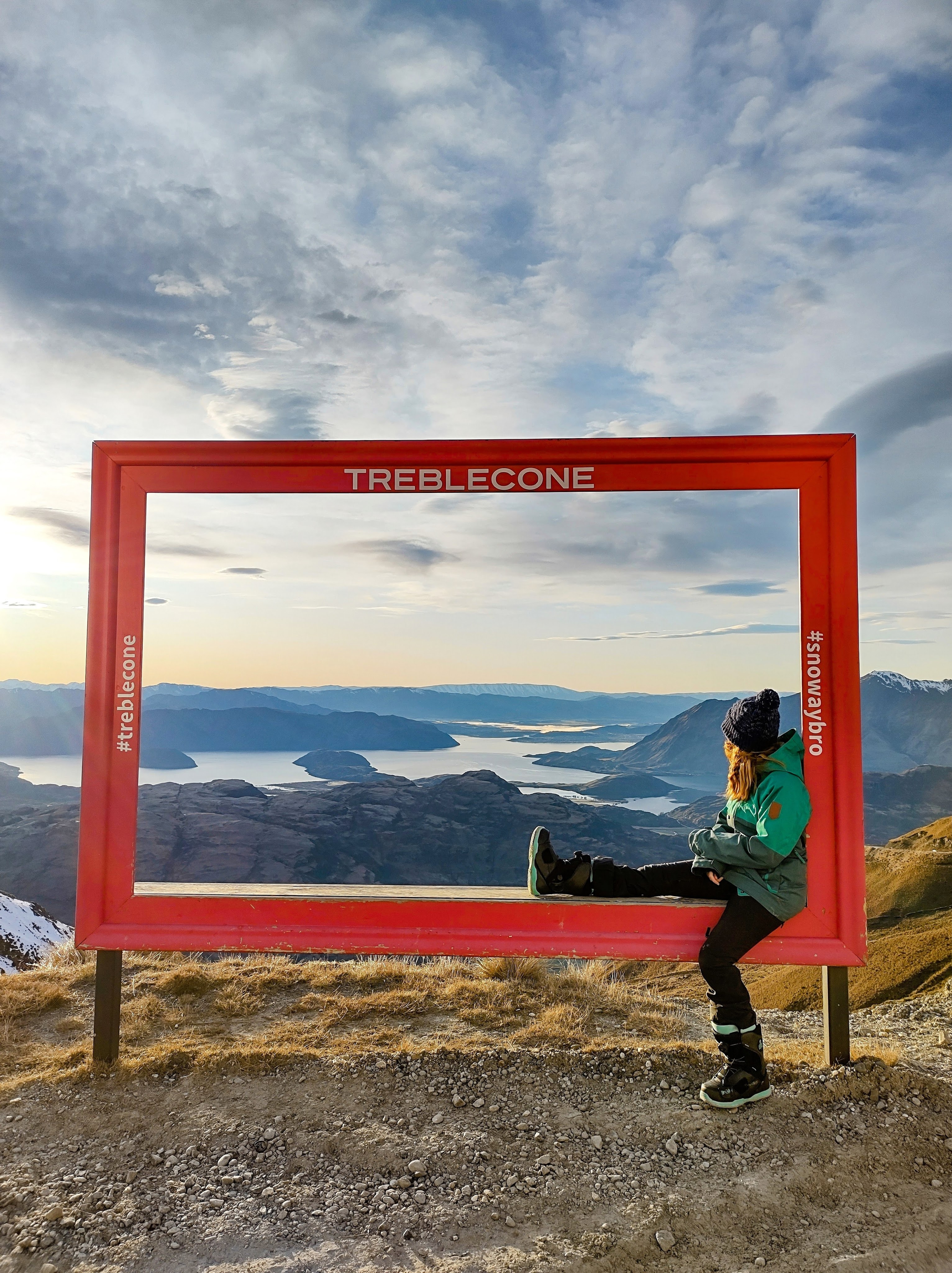
Treble Cone is located in the Aspiring National Park, and has the most stunning views across Lake Wānaka. The terrain is steeper than Cardrona and is better for more experienced skiers and snowboarders. They used to say Treble Cone was the locals’ mountain, and it still felt that way for the most part. The staff seemed more ‘at home’ here, and while the skiing was more serious, the whole place had an heir of casual familiarity, like walking into your local pub.
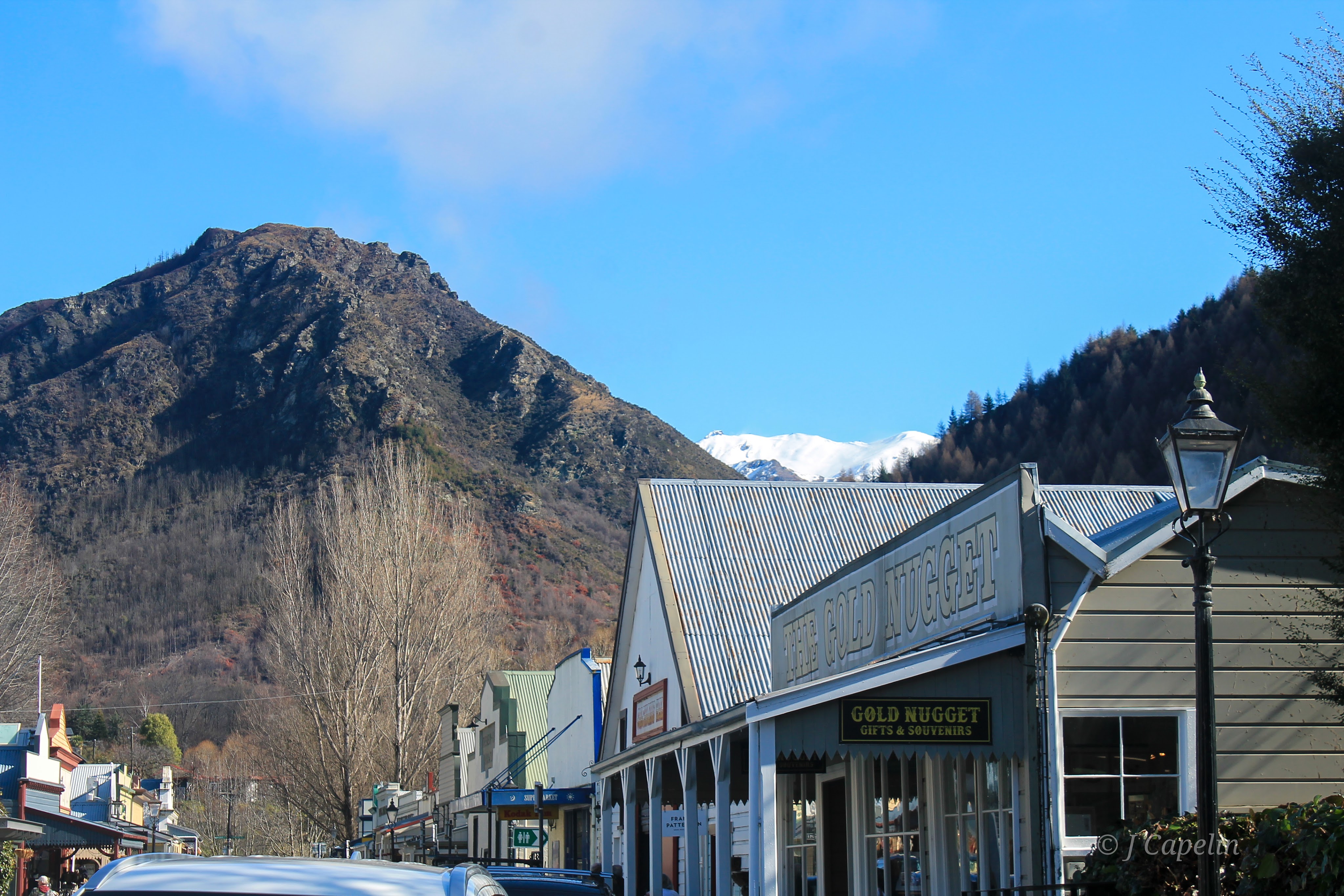
Arrowtown
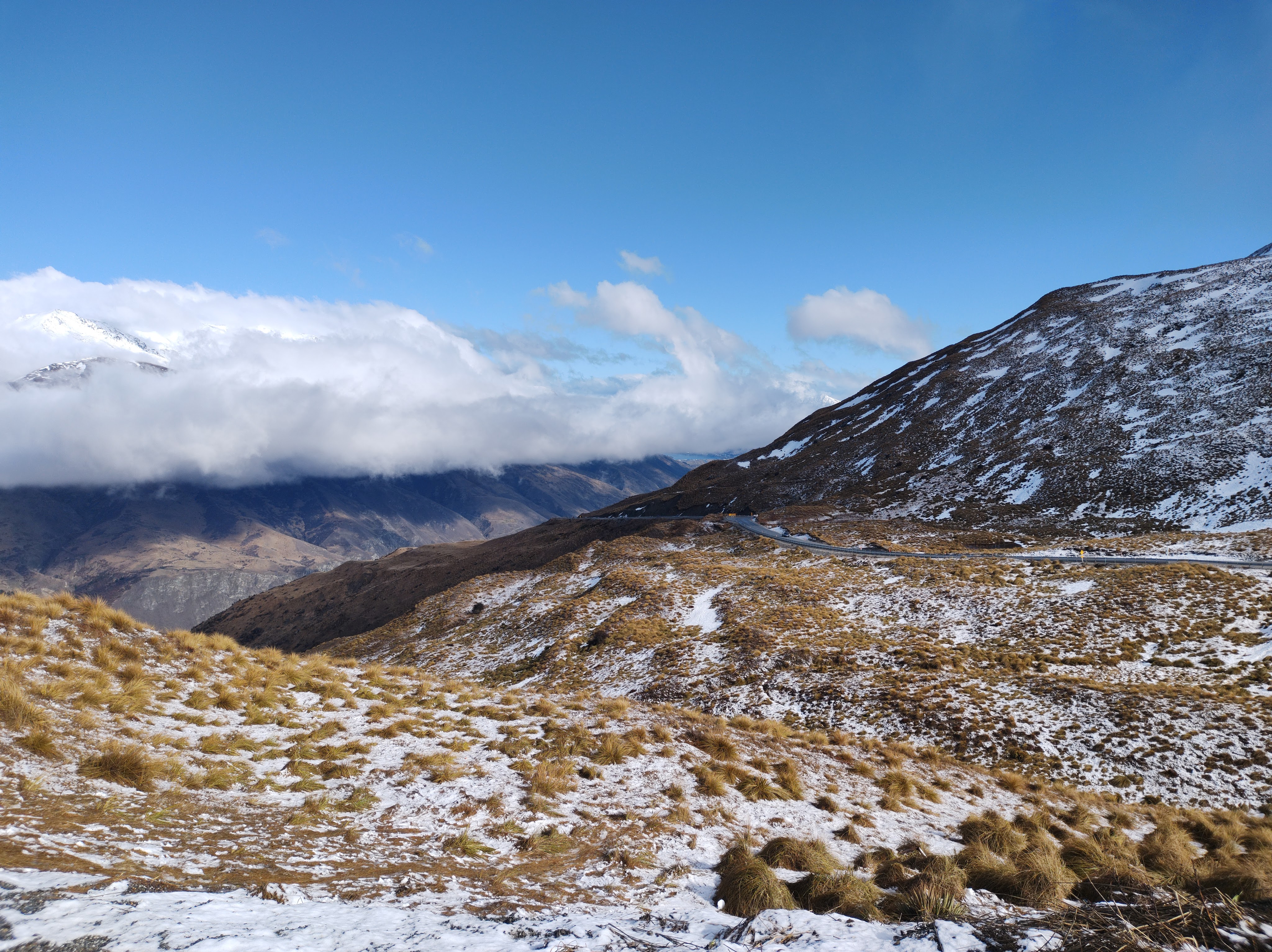
Over the Crown Range Pass, about 20 minutes from Queenstown, is a pretty little gold mining town from the 1860s – Arrowtown. The Crown Range road is an adventure in itself, winding through the mountain peaks before weaving down the opposite side with valley views on every hairpin bend.
We arrived in Arrowtown mid-morning and the little colonial high street lined with gold shops was already bustling. We walked around the Chinese village – where some of the first migrant miners lived, finishing with a stroll along the river, before making our way onwards to Queenstown.
Drive Time: Wānaka – Arrowtown: 1 hour
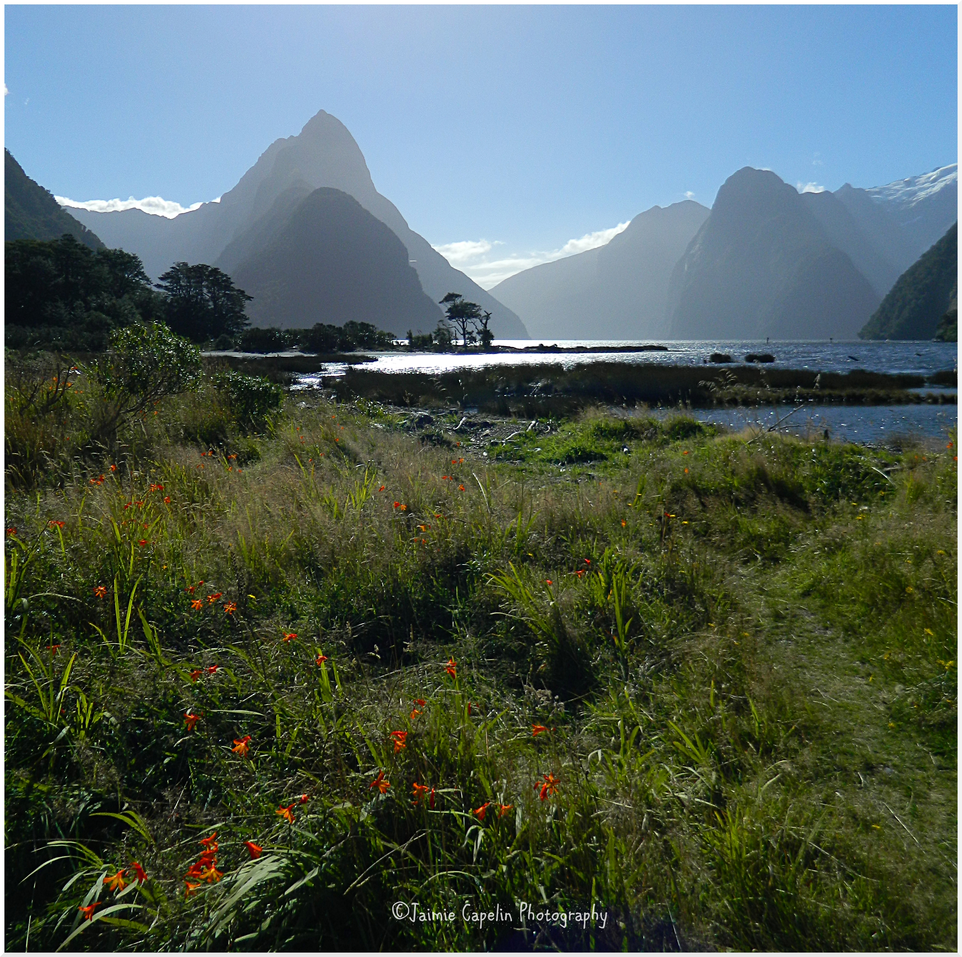
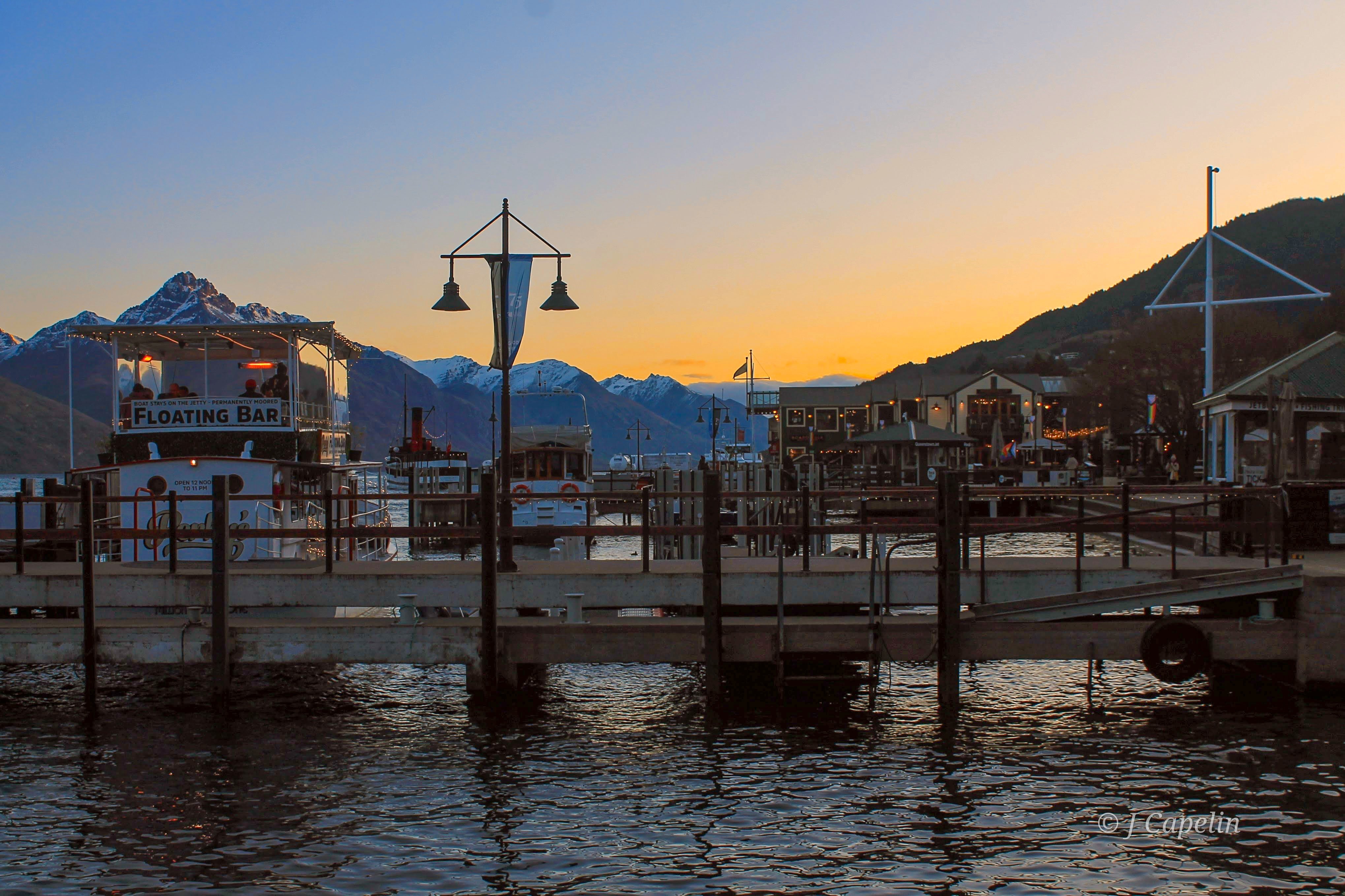
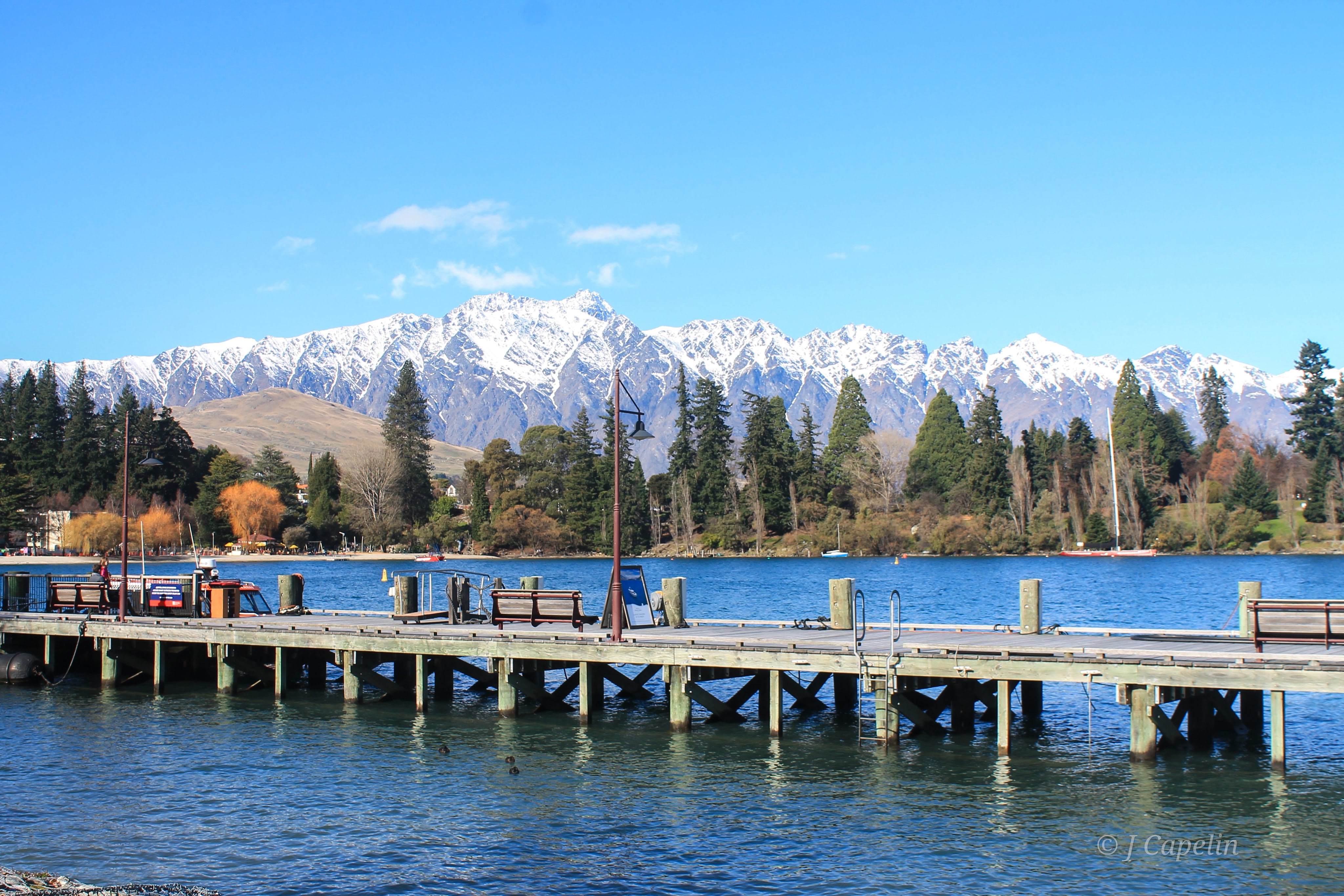
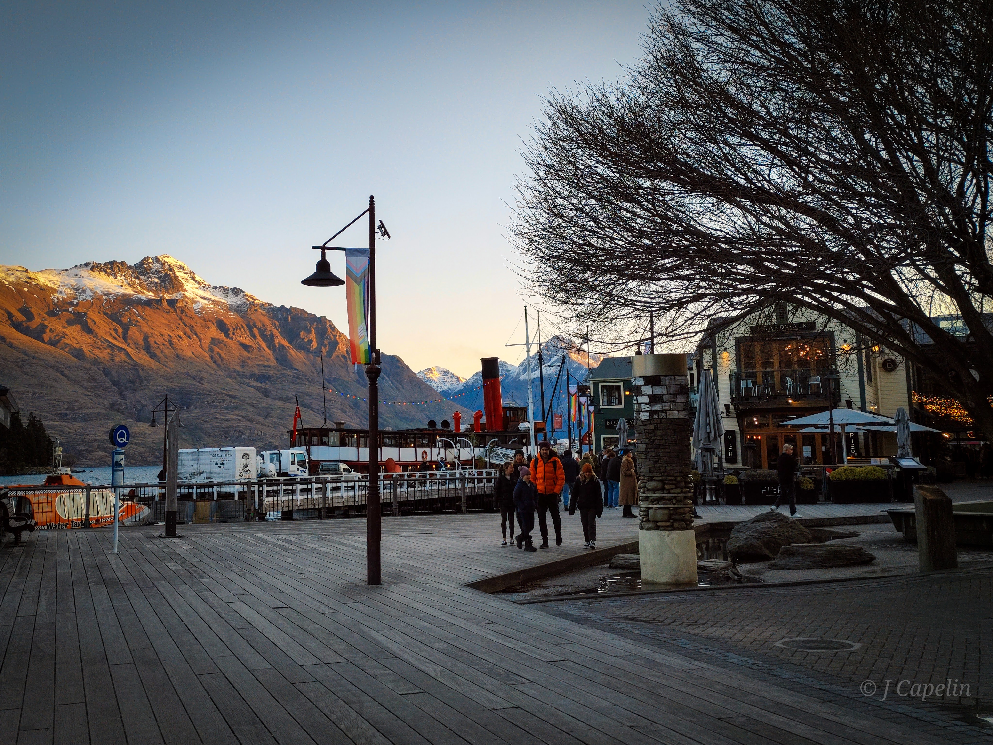
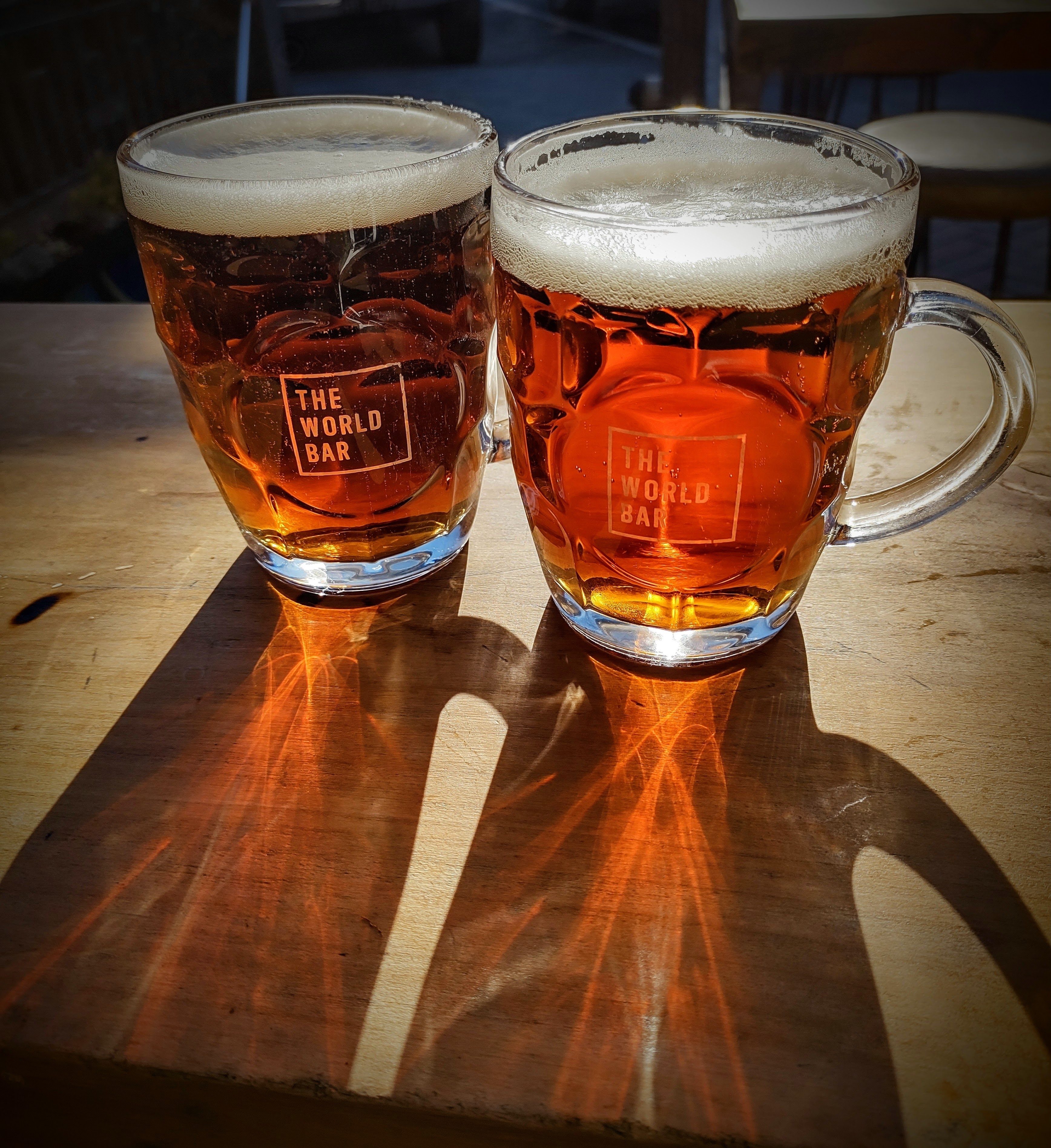
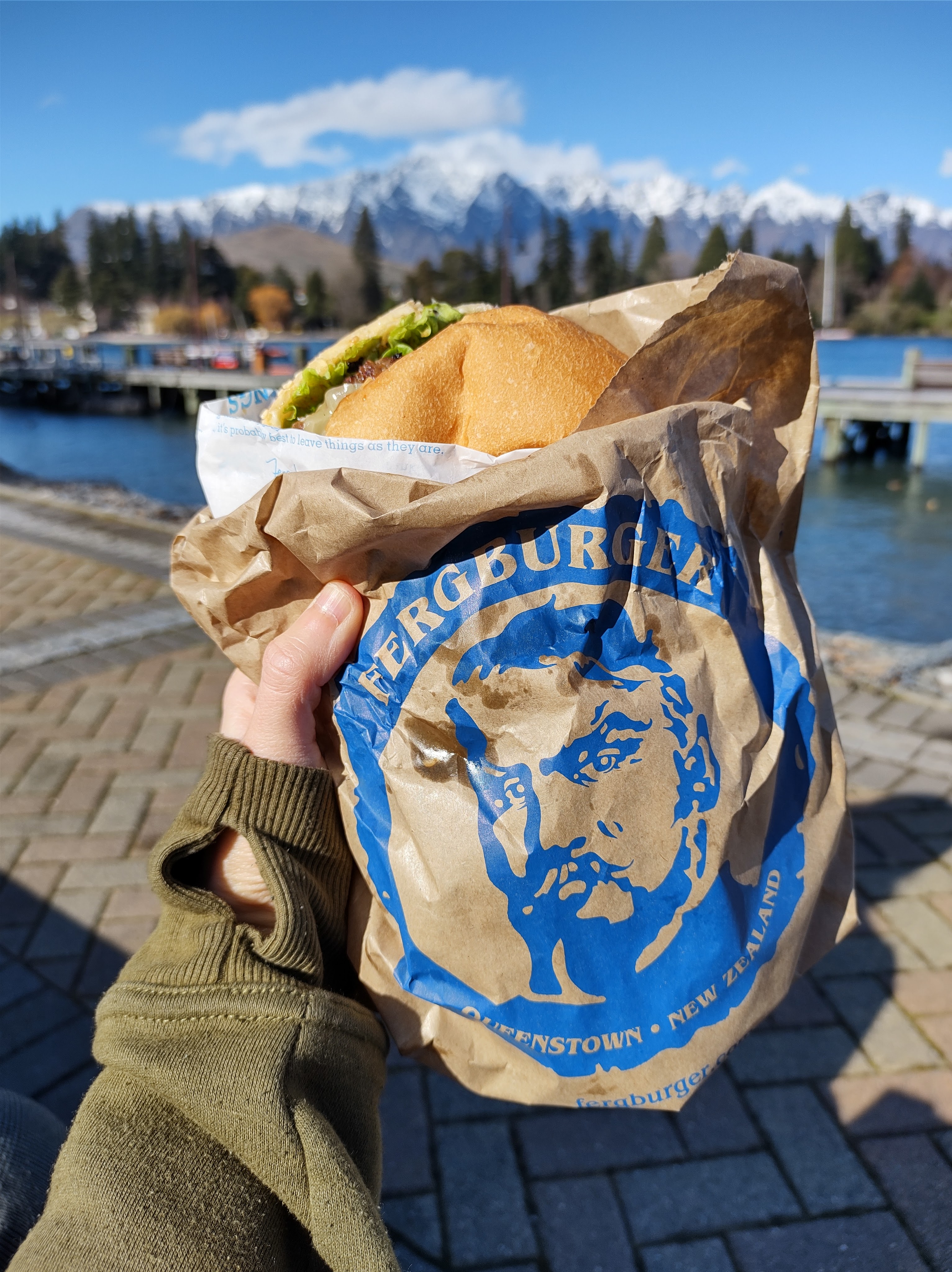
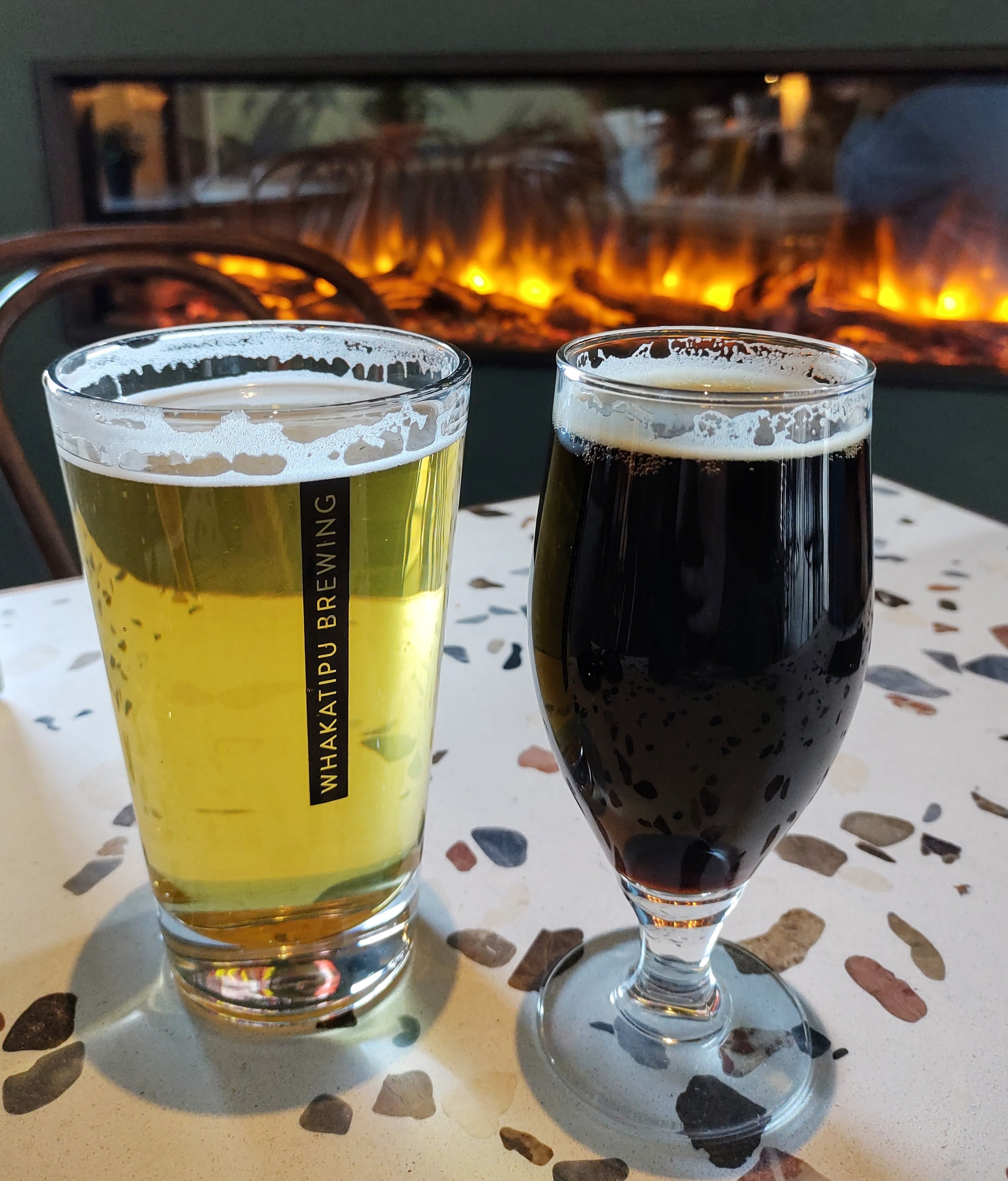
Queenstown
The place to be during NZ winter. The air is crisp, the pubs have their log burners crackling, and the line outside Fergburger is 3 miles long. Queenstown is an easy day trip from Wānaka (mountain road conditions providing) and it’s the adventure hub of New Zealand. There are a lot of tourist attractions and thrill seeker activities in this part of the world, with information and booking centres dotted all over town. However, we were quite content with just soaking up the atmosphere. We watched the old steamboat, the T.S.S Earnslaw, chug back and forth across Lake Whakatipu; admired The Remarkables (the impressive mountain range,) trod the boardwalks and browsed the abundance of bars and souvenir shops until the sun disappeared and turned the whole town pink and sparkly.
Food & Drink: Fergburger (quality burger bar,) The World Bar (pub,) Whakatipu Brewing (Tap room.)
Drive Time: Wānaka – Queenstown: 1 hour 15 mins
Mount Aspiring National Park – Haast Pass
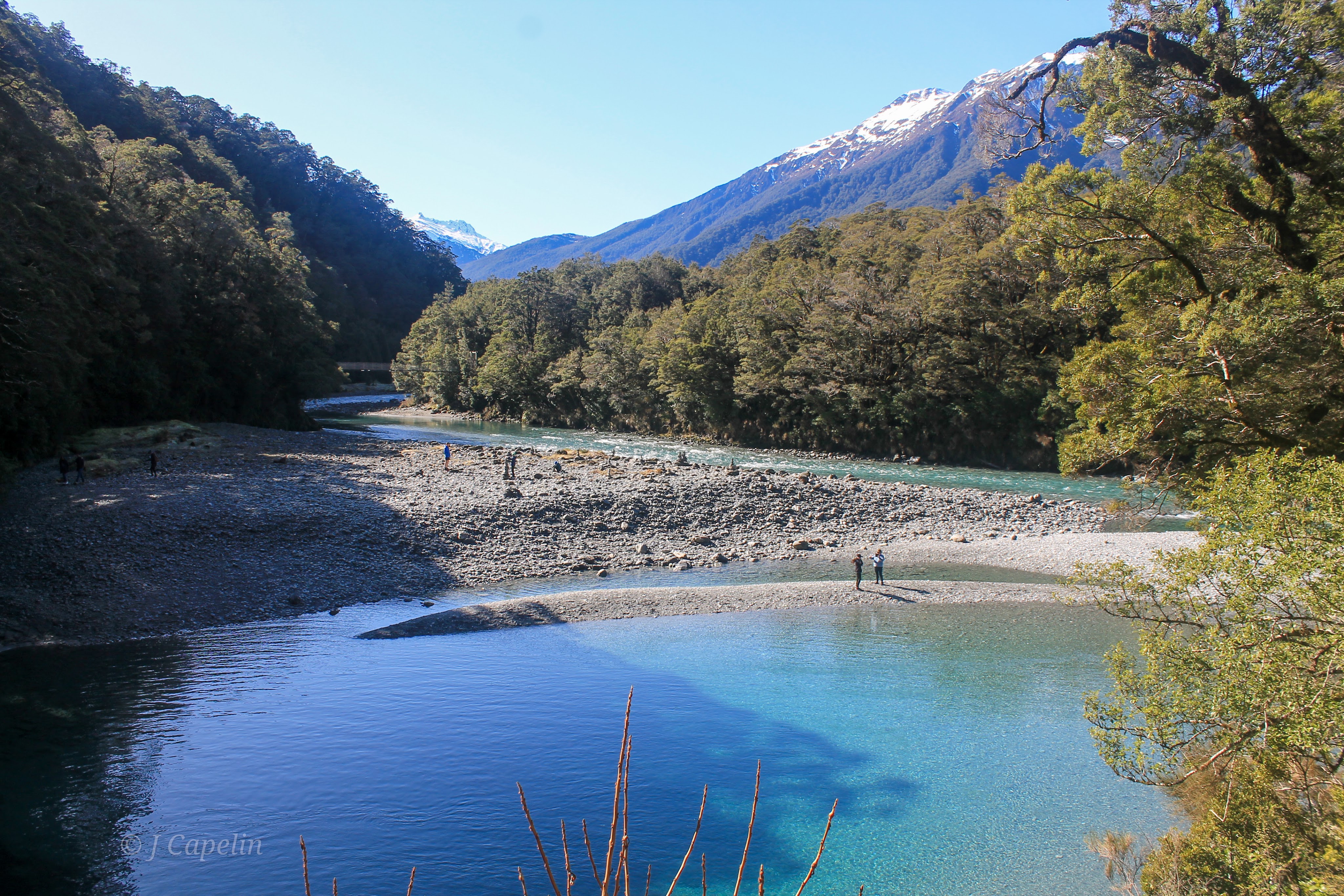
Leaving Wānaka for the West Coast, we drove alongside the neighbouring Lake Hāwea, and up the ridge between the two lakes into Mt Aspiring National Park. Passing through the tiny community of Makarora at the top of Lake Wānaka, we came to The Blue Pools Track – a beautiful short walk, and a popular swimming destination in the summer. We crossed the suspension bridges over the glacial river that gushes down from the Mt Aspiring Range through a forest-covered gorge, gently pooling before pouring its magical, clear blue water into Lake Wānaka.
Walking Time: 1 hour return


Continuing to the Otago / West Coast border, we drove through the Haast Pass, where the driving views become more and more like Jurassic Park. There are view points and short walks dotted all along the Pass, each one as beautiful as the next, so it’s worth giving yourself plenty of time. You’re completely in the back country wilderness here, so bring a picnic!
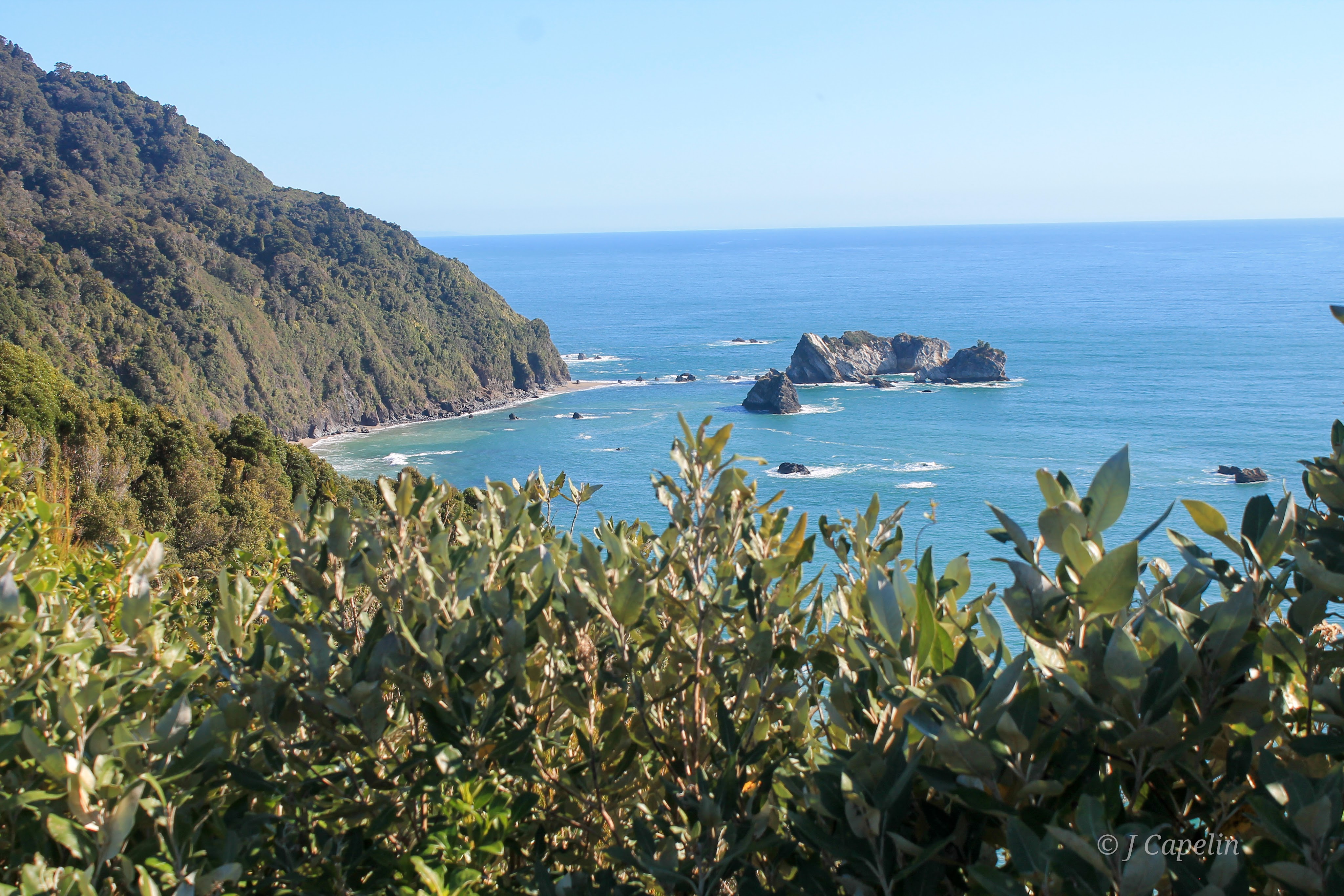
West Coast
We finally reached Haast, where the river meets the wild ocean. Beautifully desolate beaches sit at the foot of the ever changing mountains, home to nothing but sandflies, and the West Coast road winds through a variety of landscapes with more viewpoints along the way.
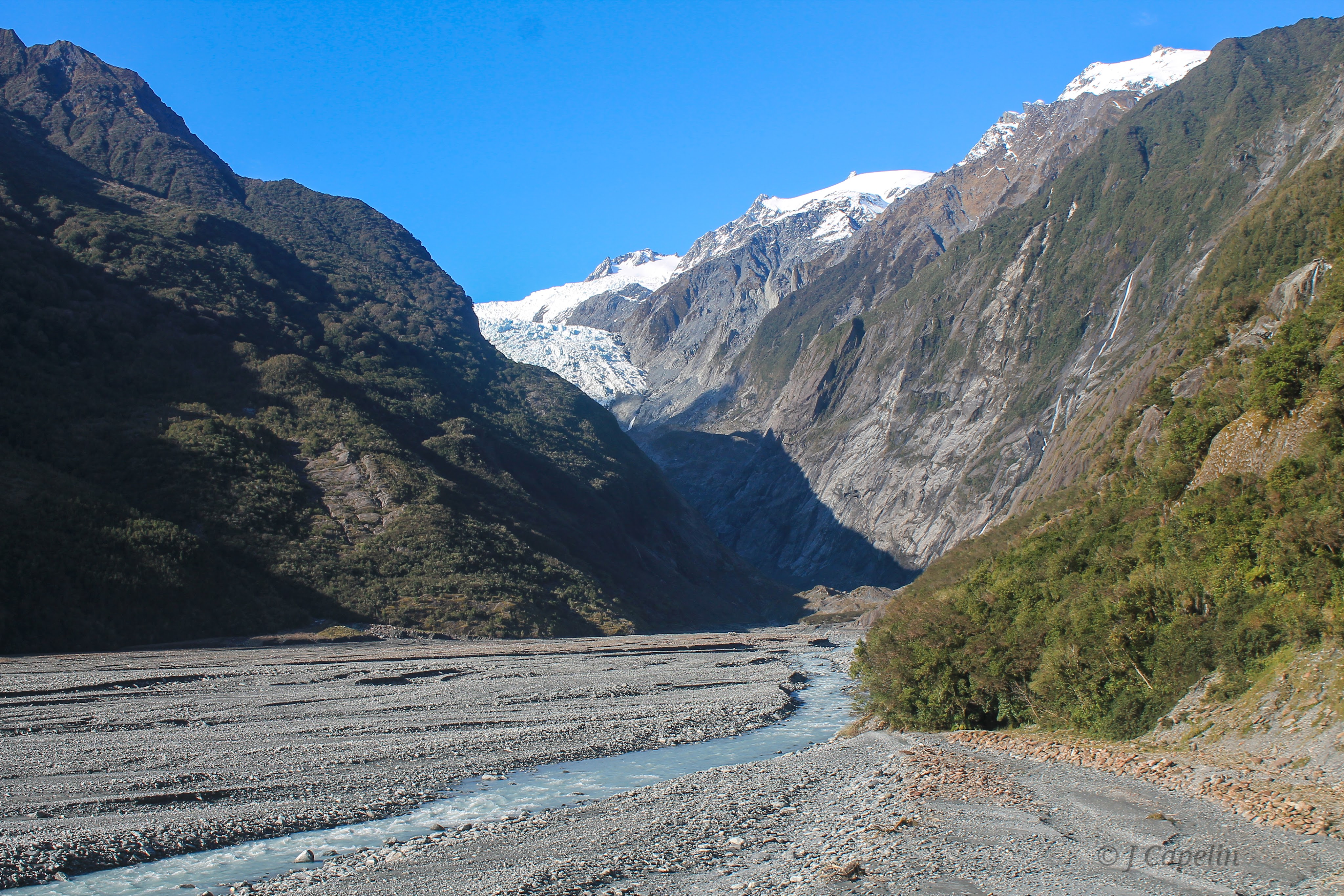
Fox Glacier
Finally, we reached our destination for the night – Weheka (Fox Glacier village.) I don’t know if it was the time of year, or the time of the week, but we felt like the only people in the village – the road there had been pretty deserted too, which is unusual. But with the place to ourselves, and a few hours of daylight left, we went exploring.
Fox Glacier – traditionally ‘Te Moeka o Tuawe,’ can be glimpsed from the village all the way to the coast. The glacier streaks down the western valley between Aoraki (Mt Cook) and Mt Tasman, ending 250m above sea level in the lush rainforest of Westland’s Tai Poutini National Park.

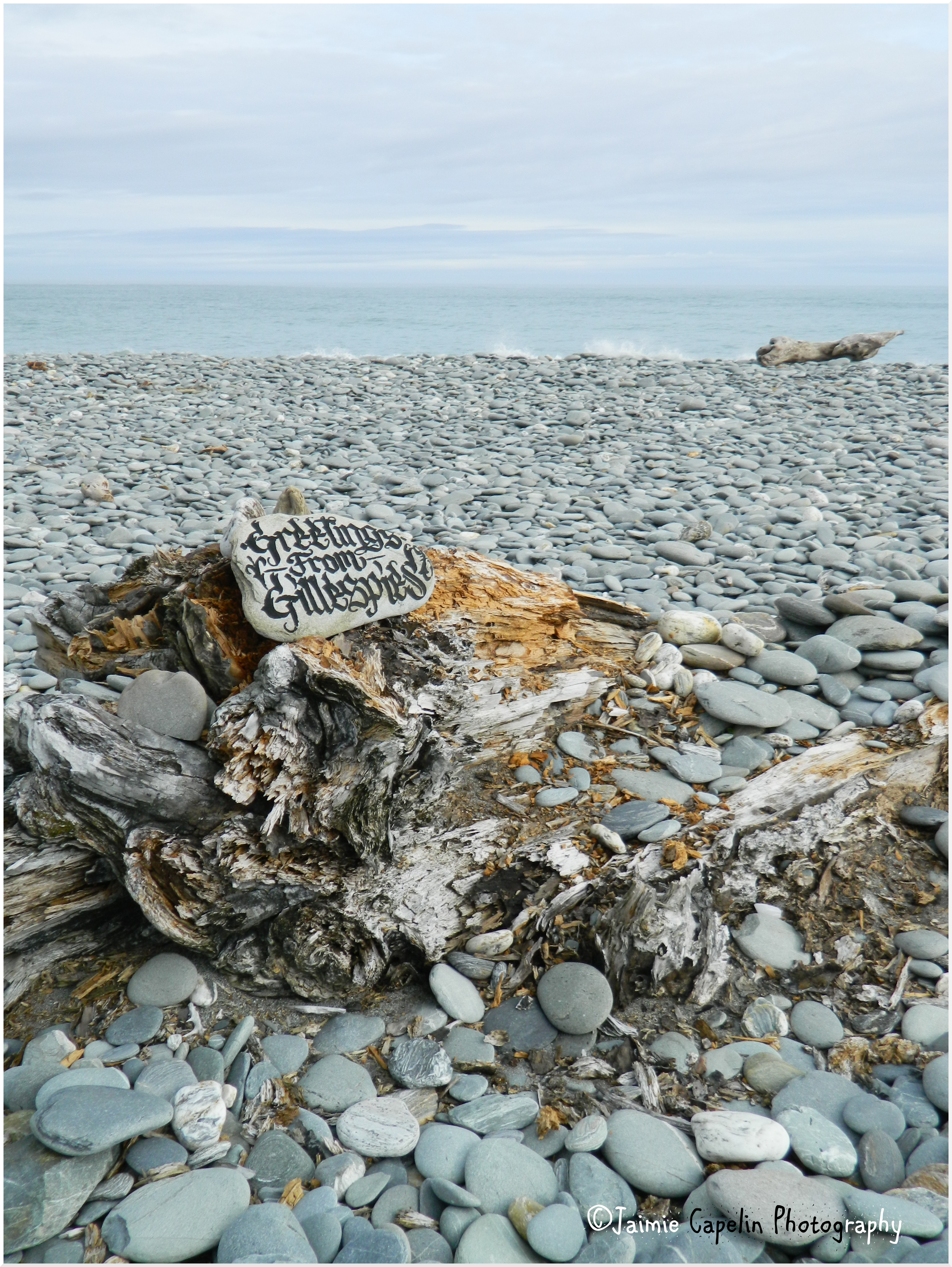
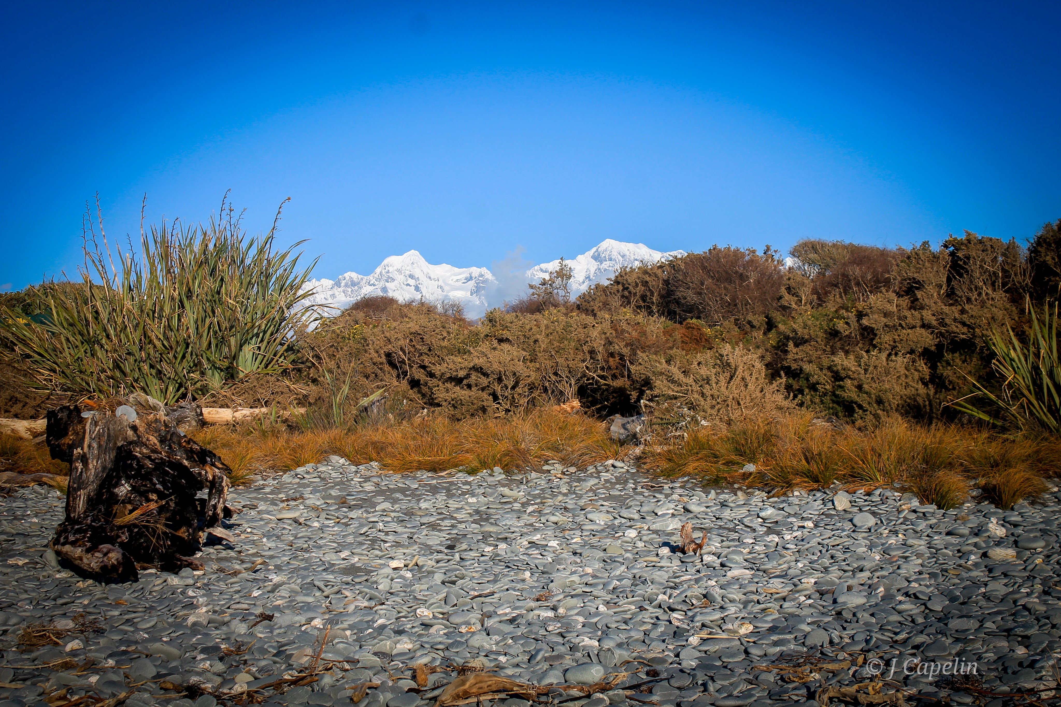
Gillespies Beach
11km down a narrow, unsealed road, which curves and twists and bumps through the forest of Westland Tai Poutini National Park, is Gillespies Beach. A Department of Conservation Campsite sits at the end of the road, leading over the grass and to the ocean. Stones smoothed by the sea lay scattered all over the black sand between driftwood logs and sturdy tufts of Flax, and through the sea spray you can see Fox Glacier shimmering between the peaks behind the beach.

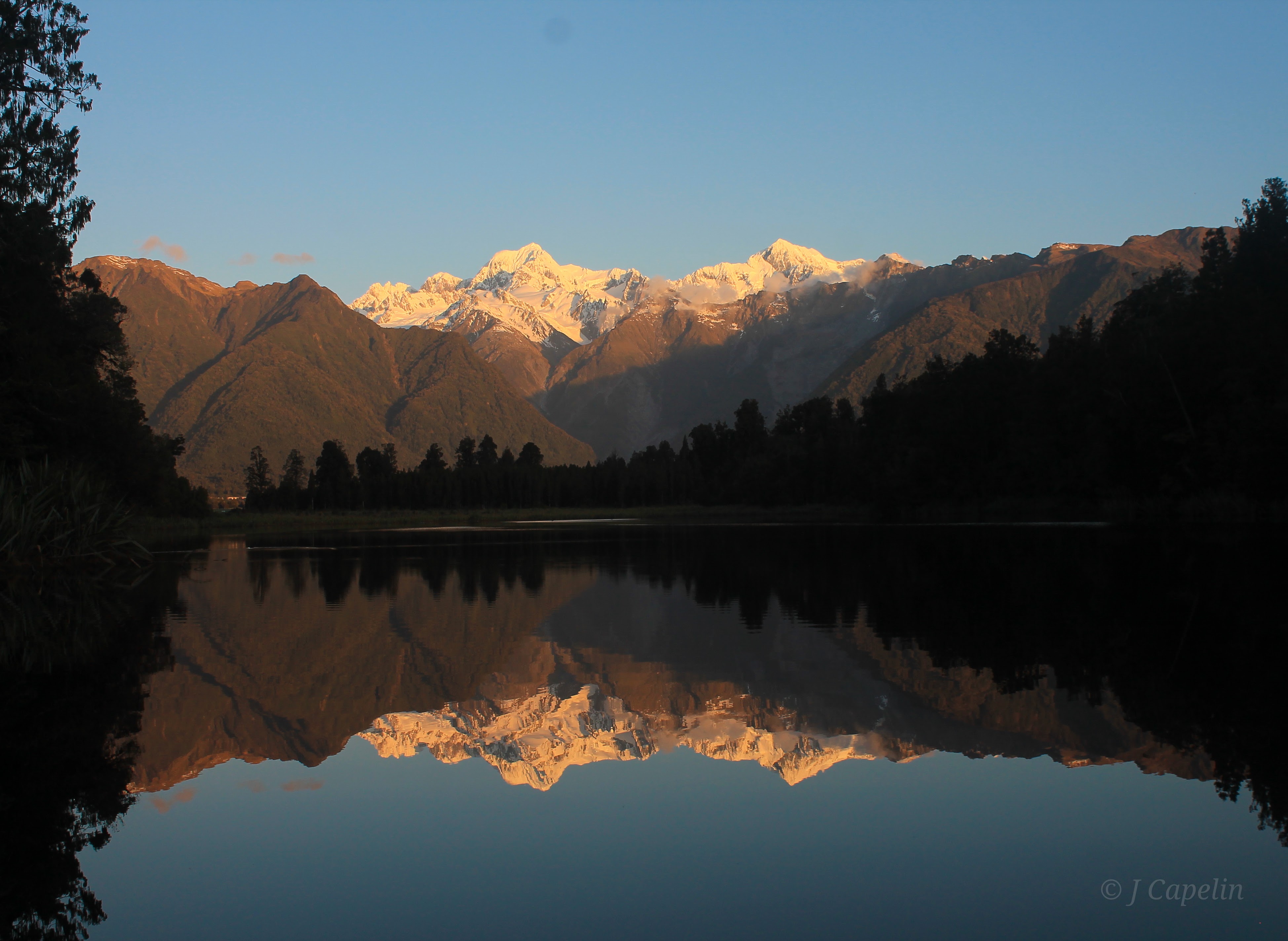
Lake Matheson
On the way back to Weheka village from Gillespies Beach, we visited Lake Matheson. It is a small lake by Queenstown and Wānaka standards, but with an impressive view. We walked the complete circuit around the lake as the sun set, making it very dark in the ferny rainforest that surrounds it, but the changing colours reflected in the water off the snowy peaks were breath taking. Endangered Kiwis live in this forest, so as it grew dark we listened out for their high pitched trill in the trees.
Walking Time: 1 hour 30 mins
Accommodation: Sunset Motel <$83 NZD – 1 night
Driving Time: Wānaka – Fox Glacier: 3.5 hours
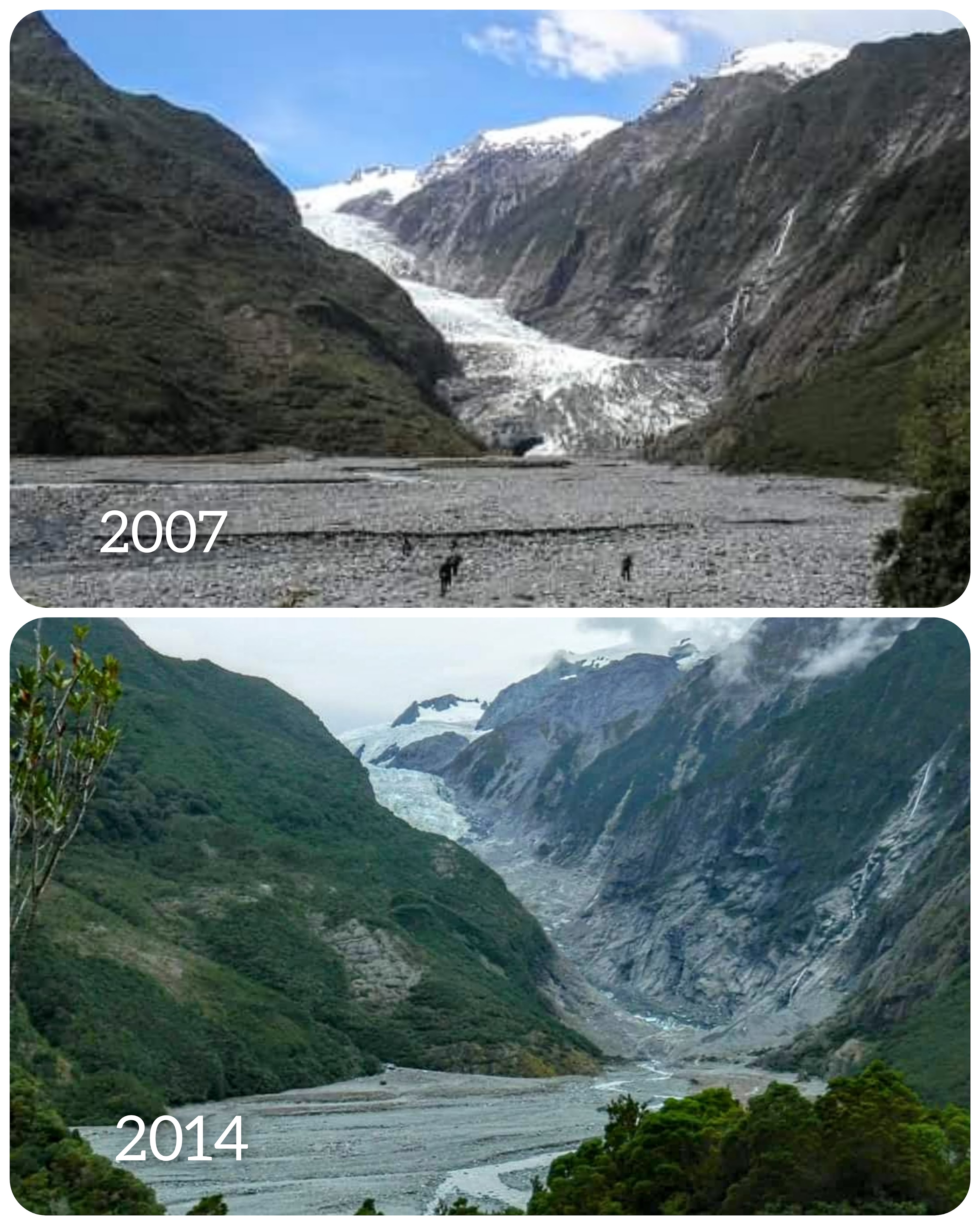
Franz Josef Glacier
The following morning, we continued our journey up the West Coast, stopping at Franz Josef Glacier, traditionally ‘Ka Roimata o Hine Hukatere.’ I found it interesting to visit this glacier and compare the photos from my previous visits; it’s an eye-opener just how quickly the glaciers are shrinking.
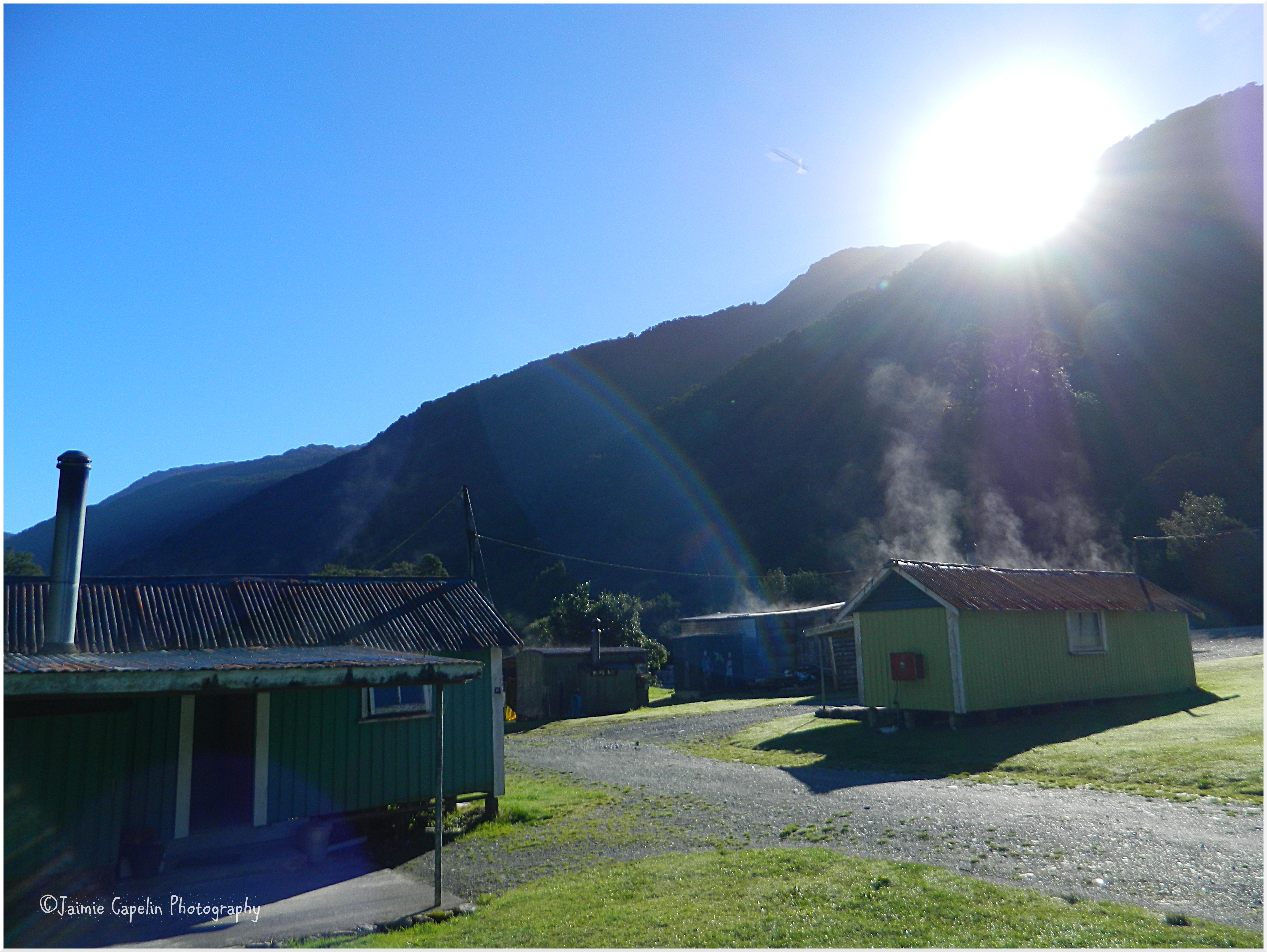
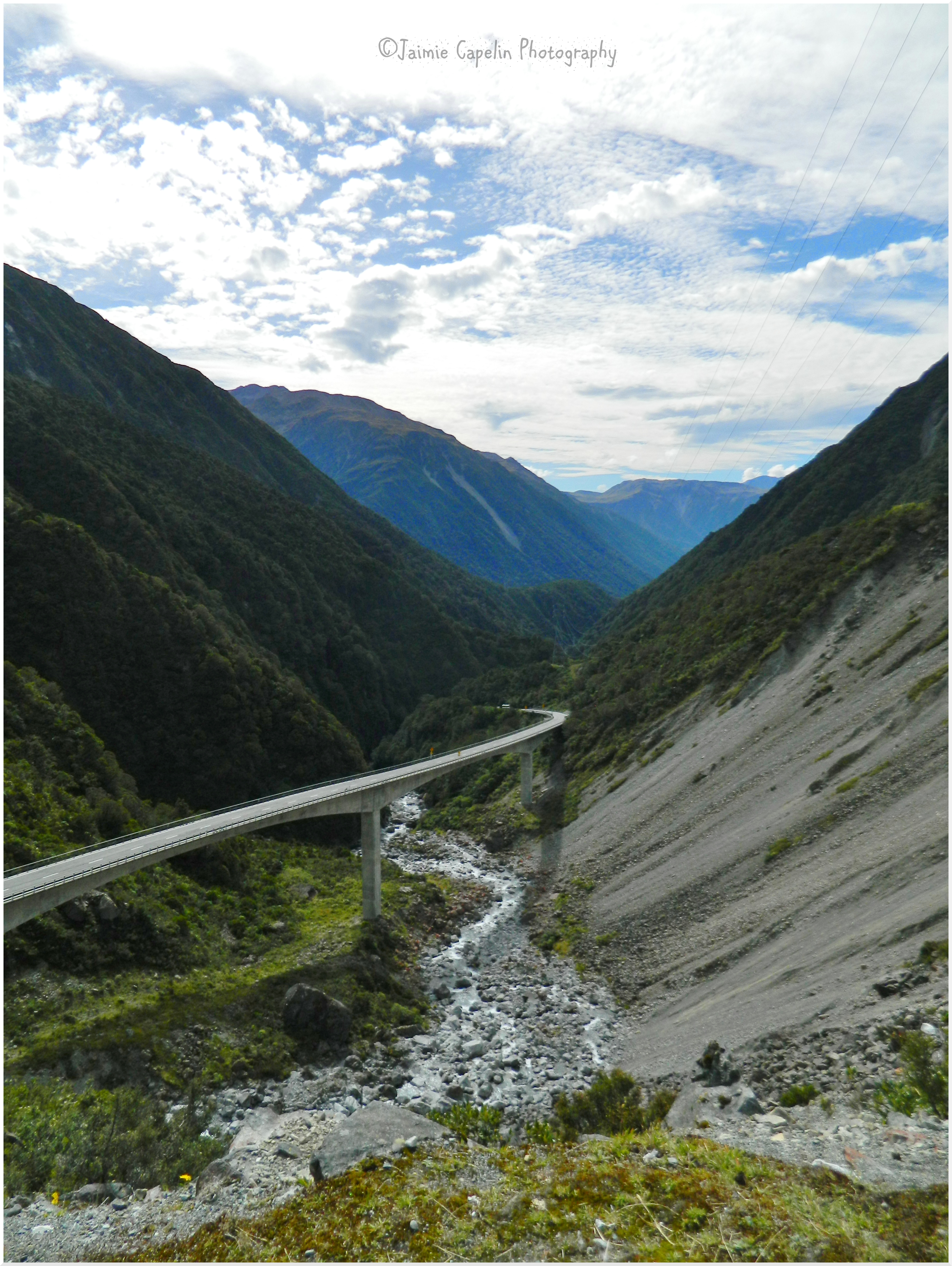
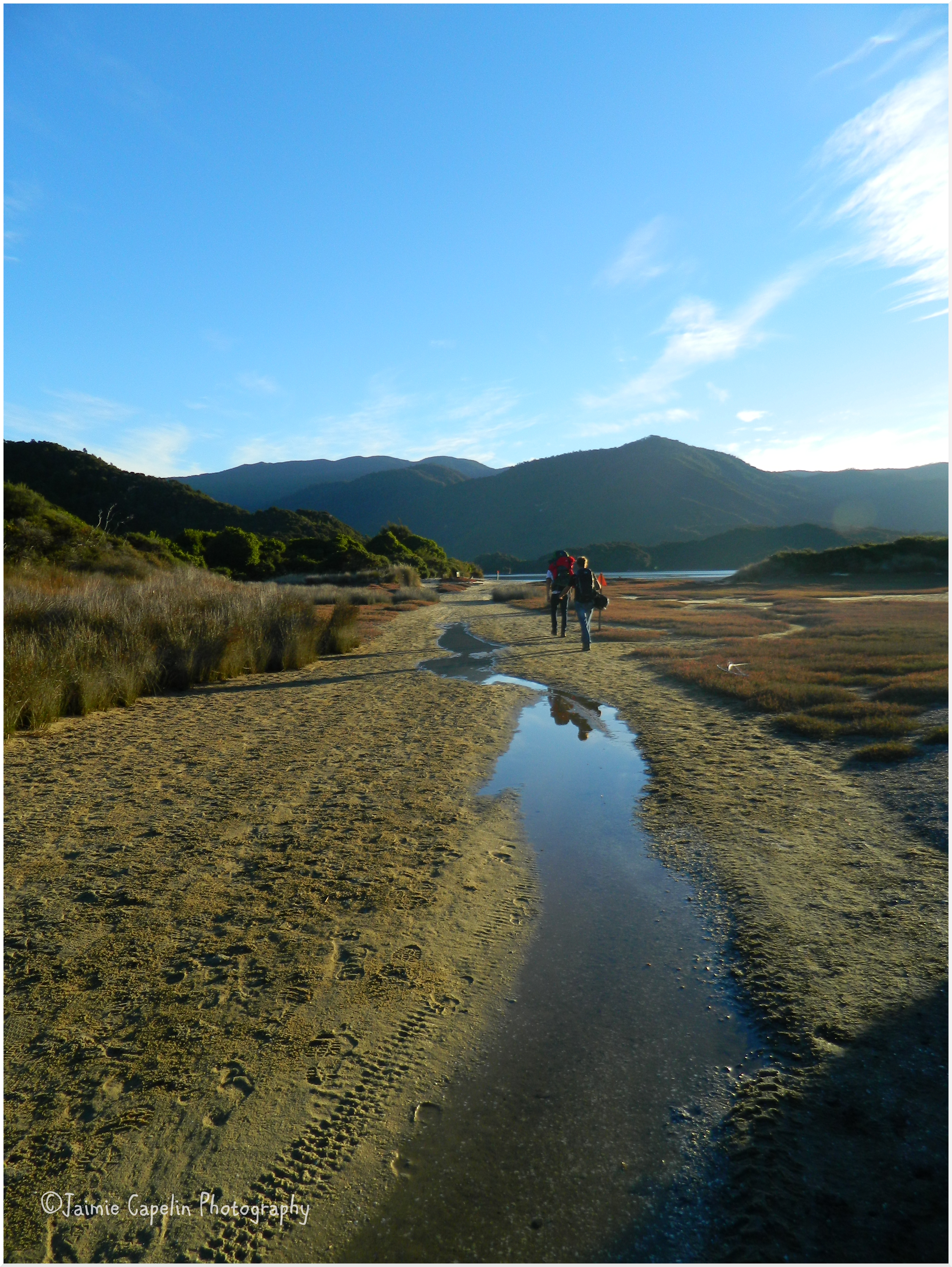
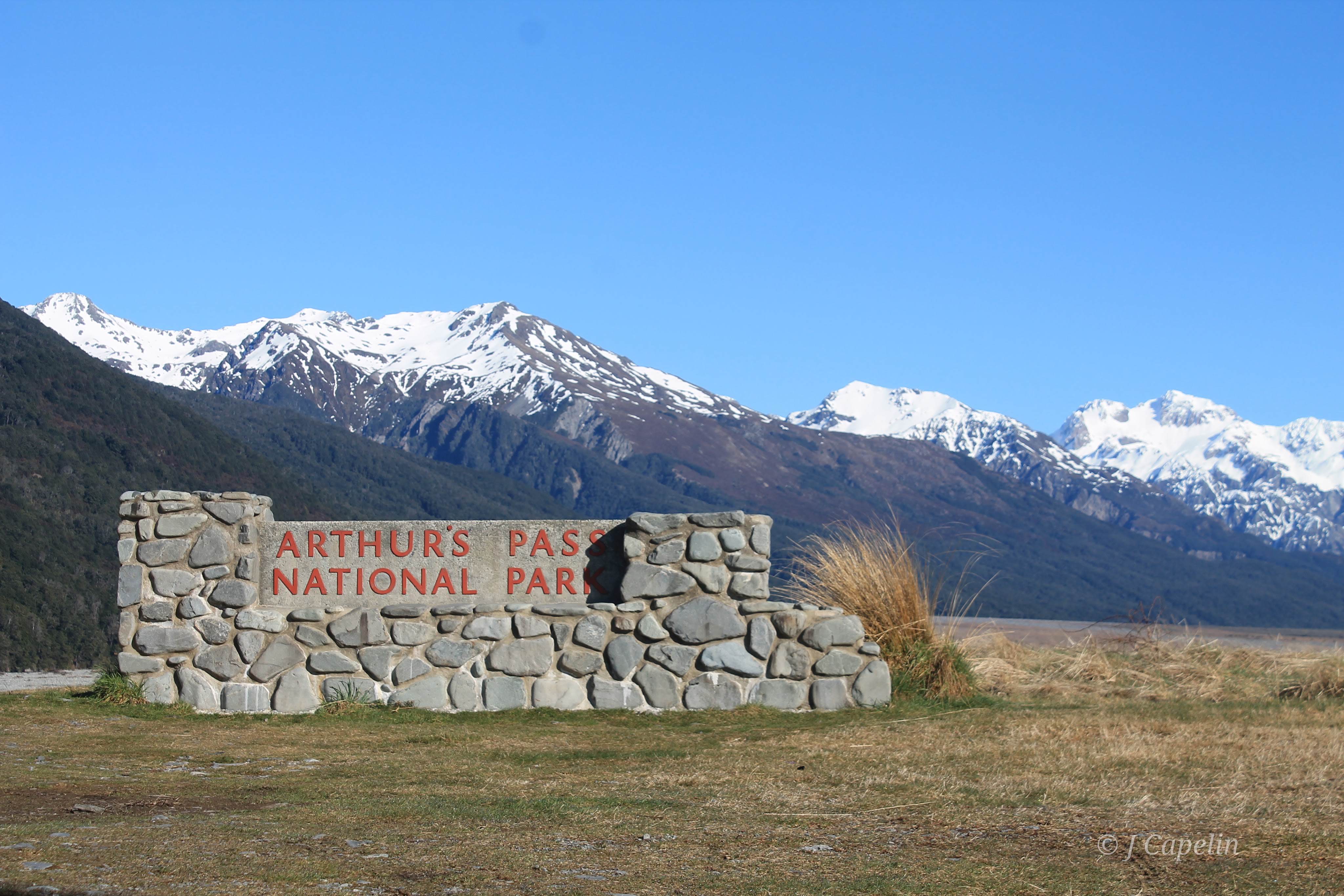
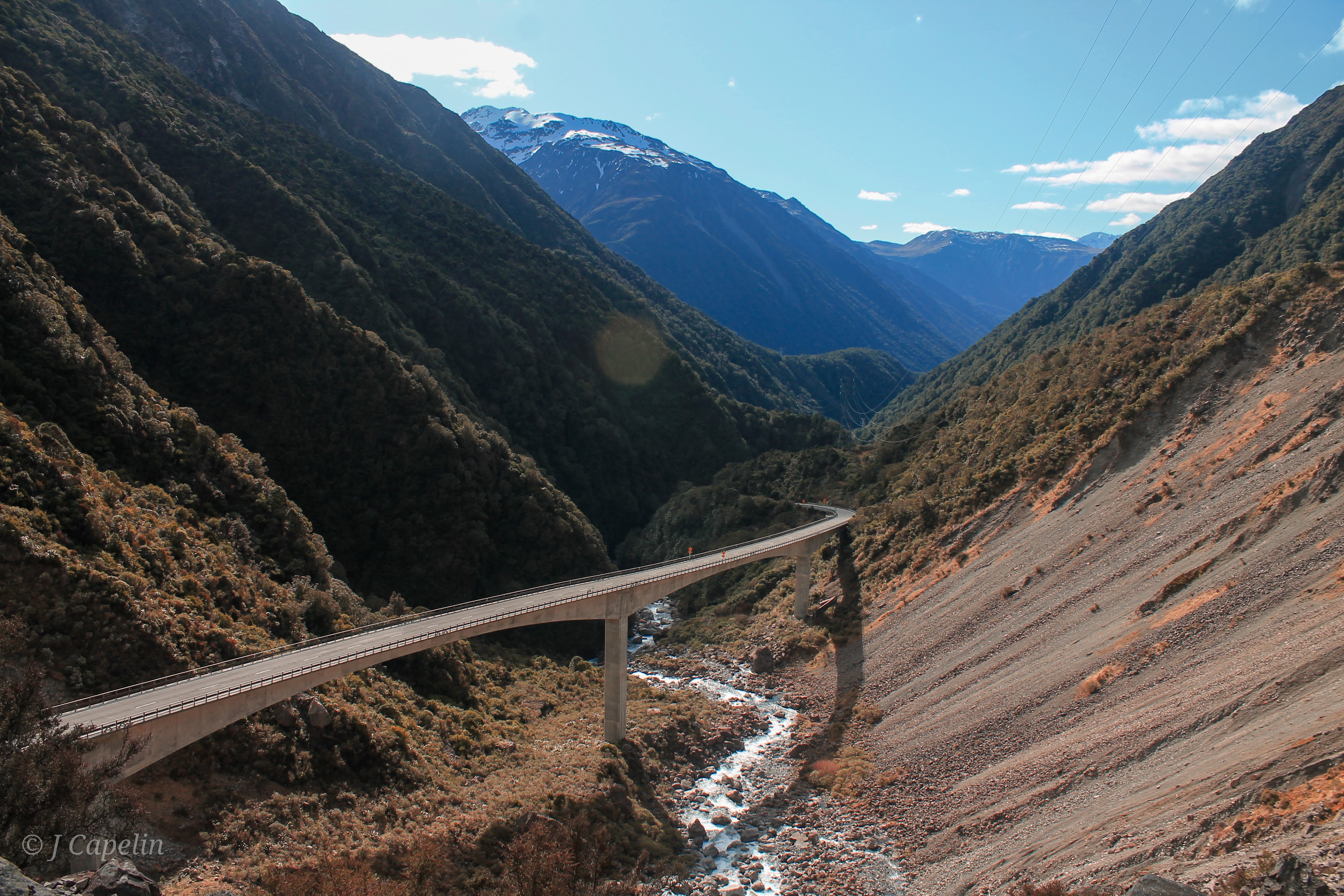
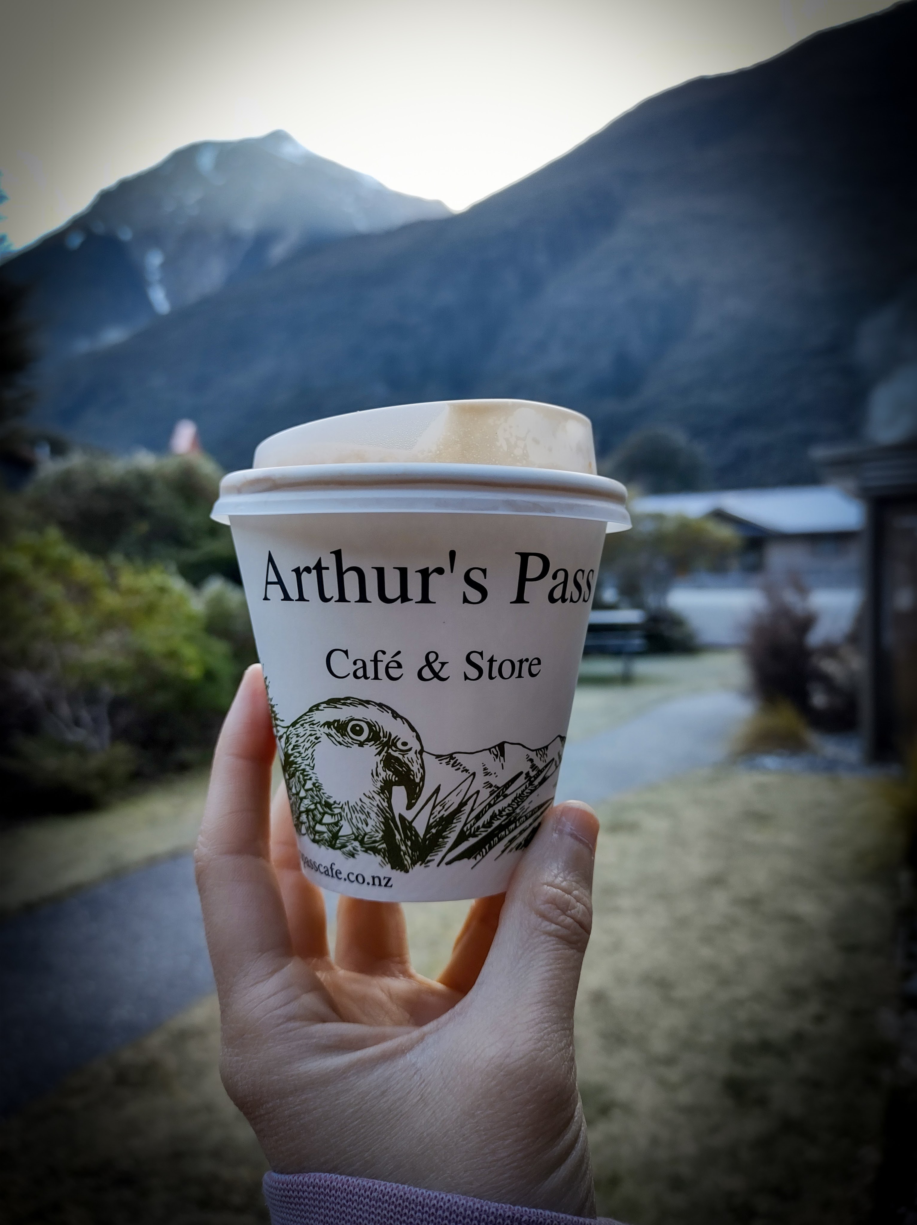
Arthur’s Pass
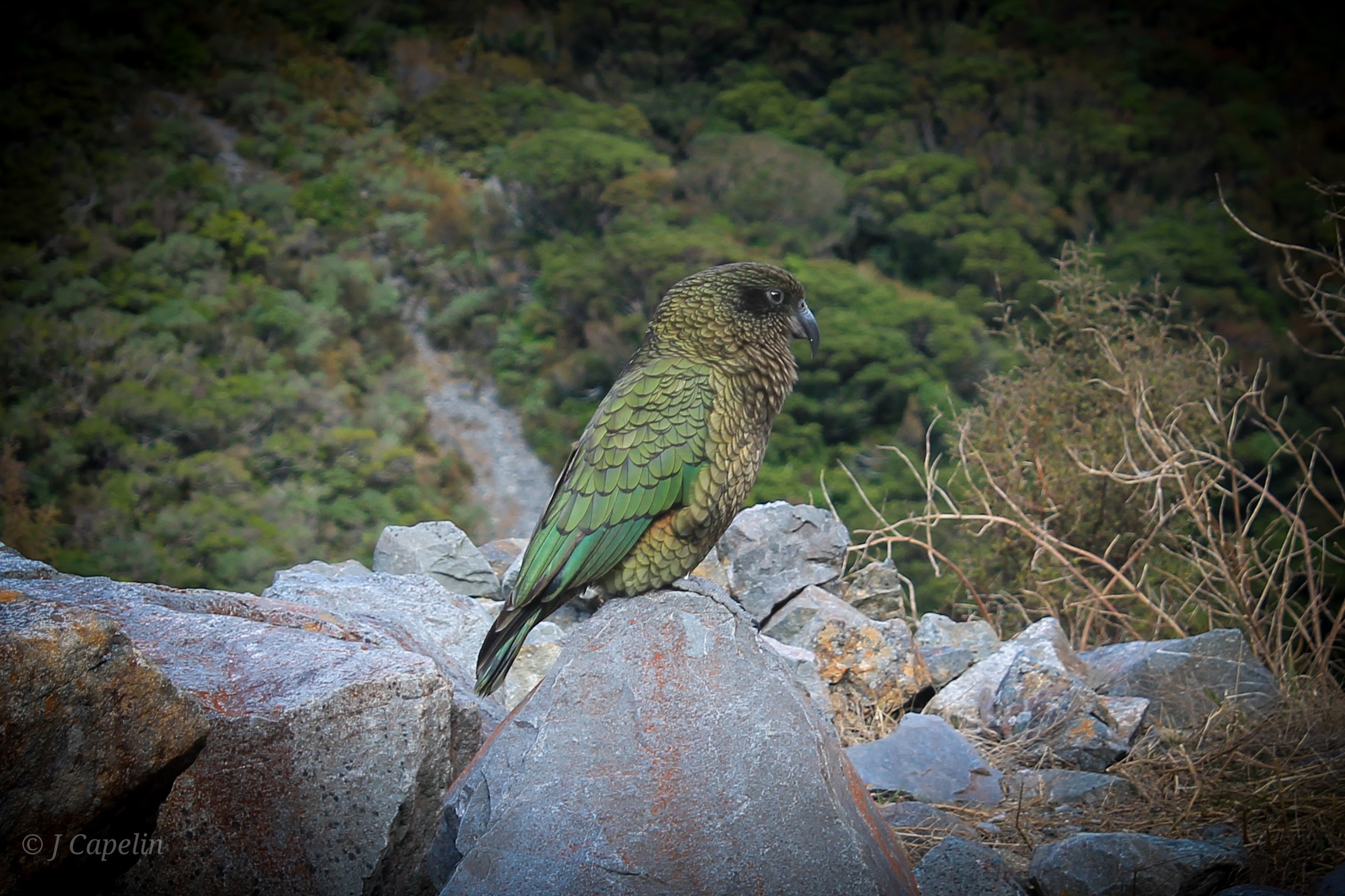
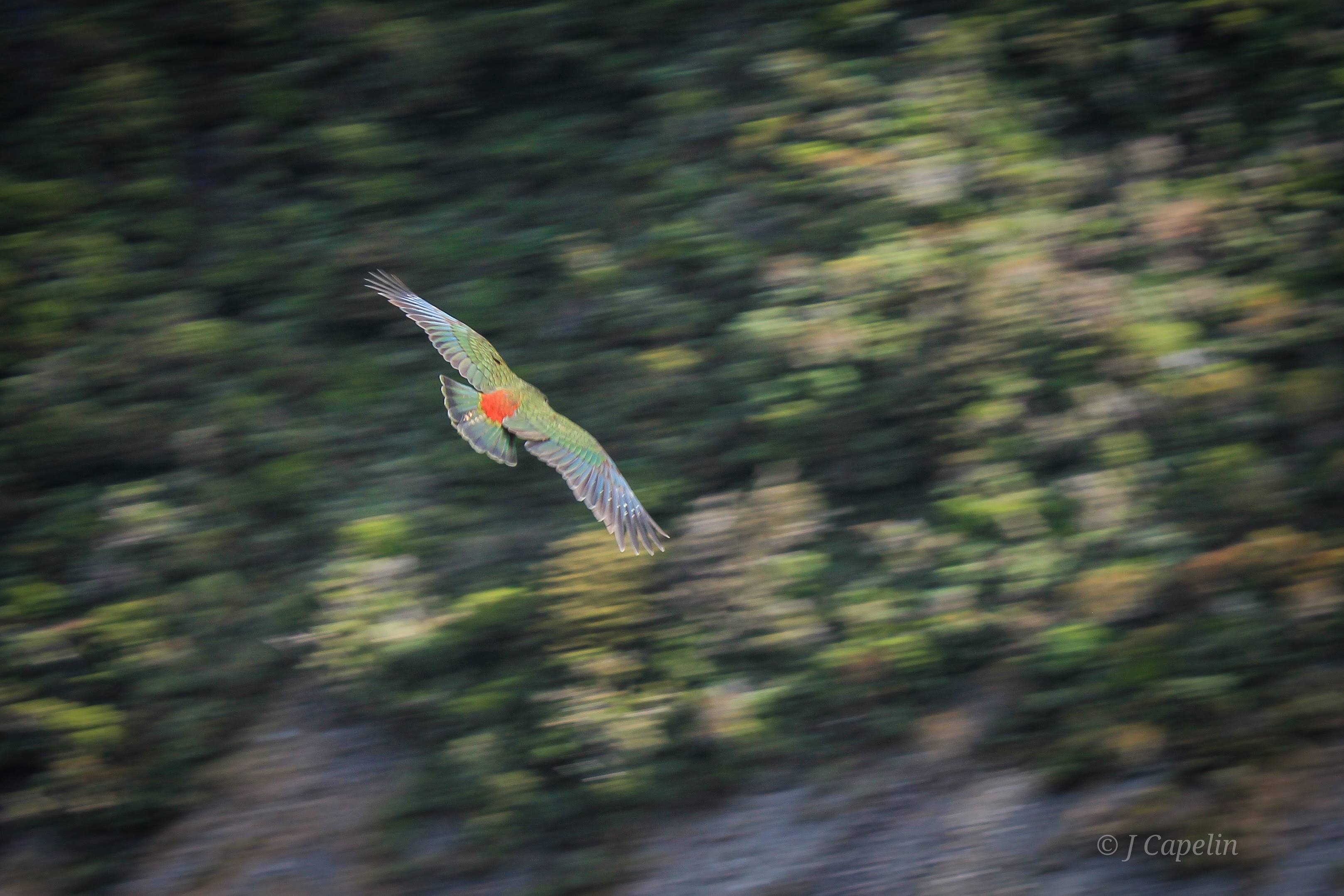
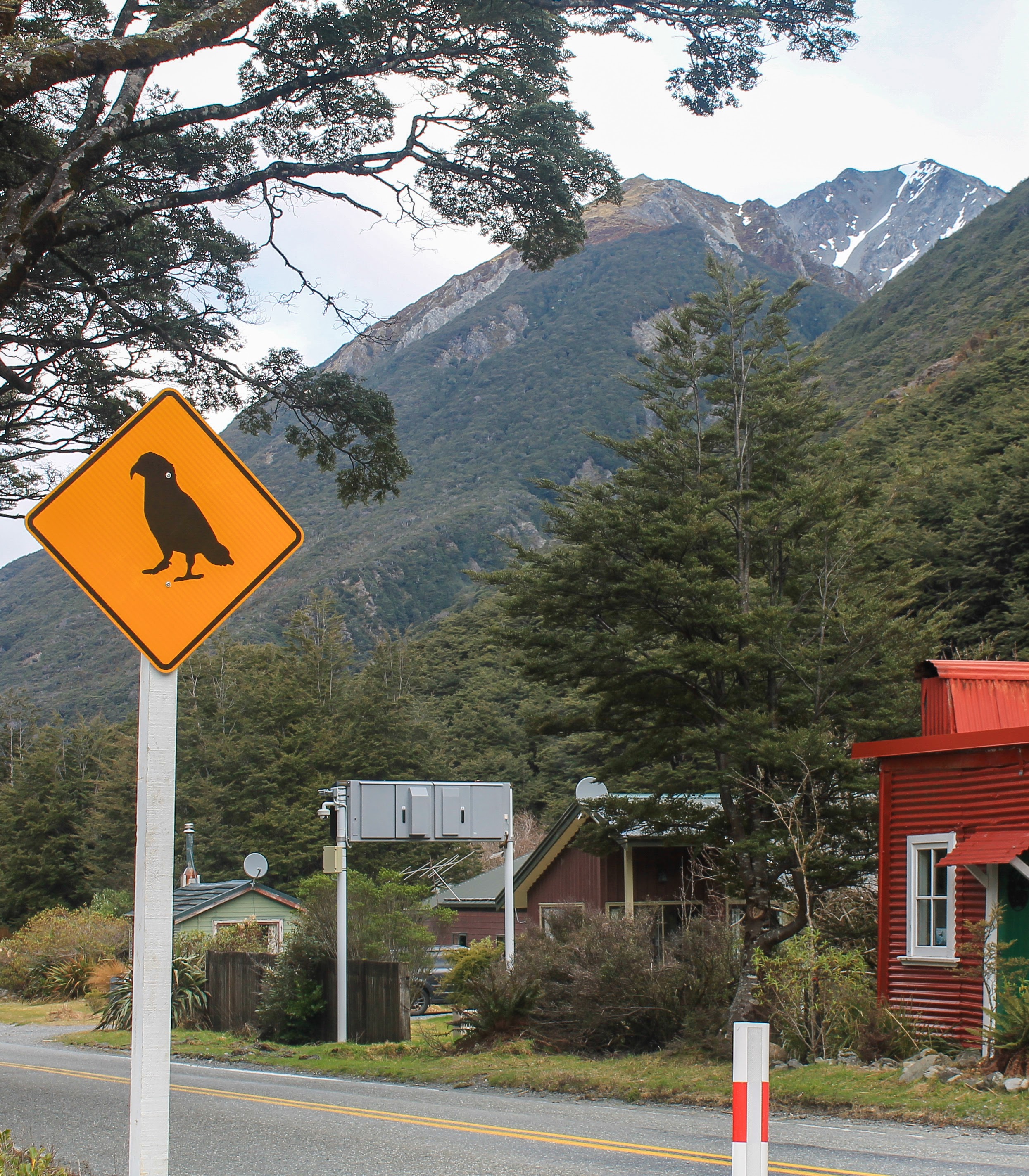
As if the mountains so far hadn’t been dramatic enough, we ventured inland to Arthur’s Pass. The road climbs, getting gradually more extreme as you scale the sheer ledges, suspended in the mountains by some feat of engineering. This mountain wilderness is home to Kea – the alpine parrots endemic to New Zealand’s South Island. These cheeky fellas are very curious and tactile, and if you stop too long they may peel the rubber seals off your car windows just for fun! We encountered a pair with their baby fledgling at the Otira Viaduct Lookout, where I was lucky enough to capture their beautiful feathers in flight. (Click on the images below.)
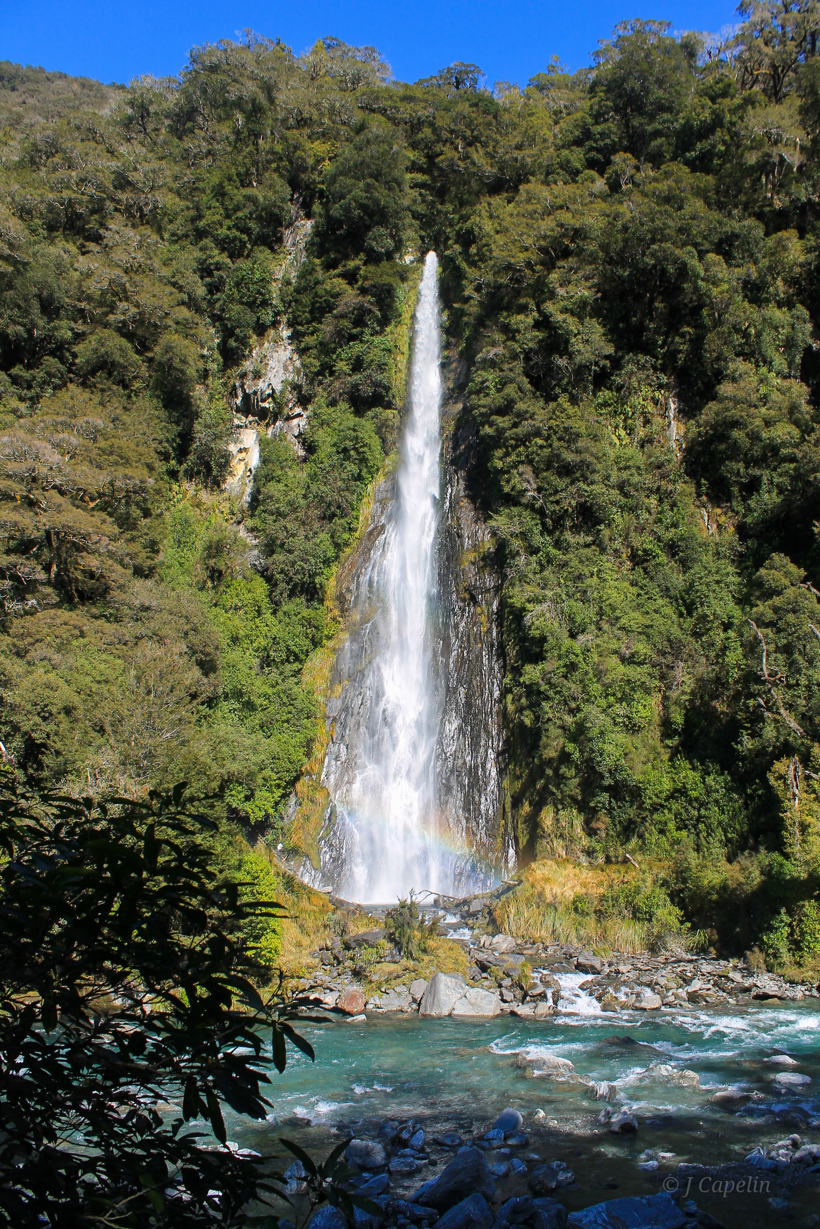
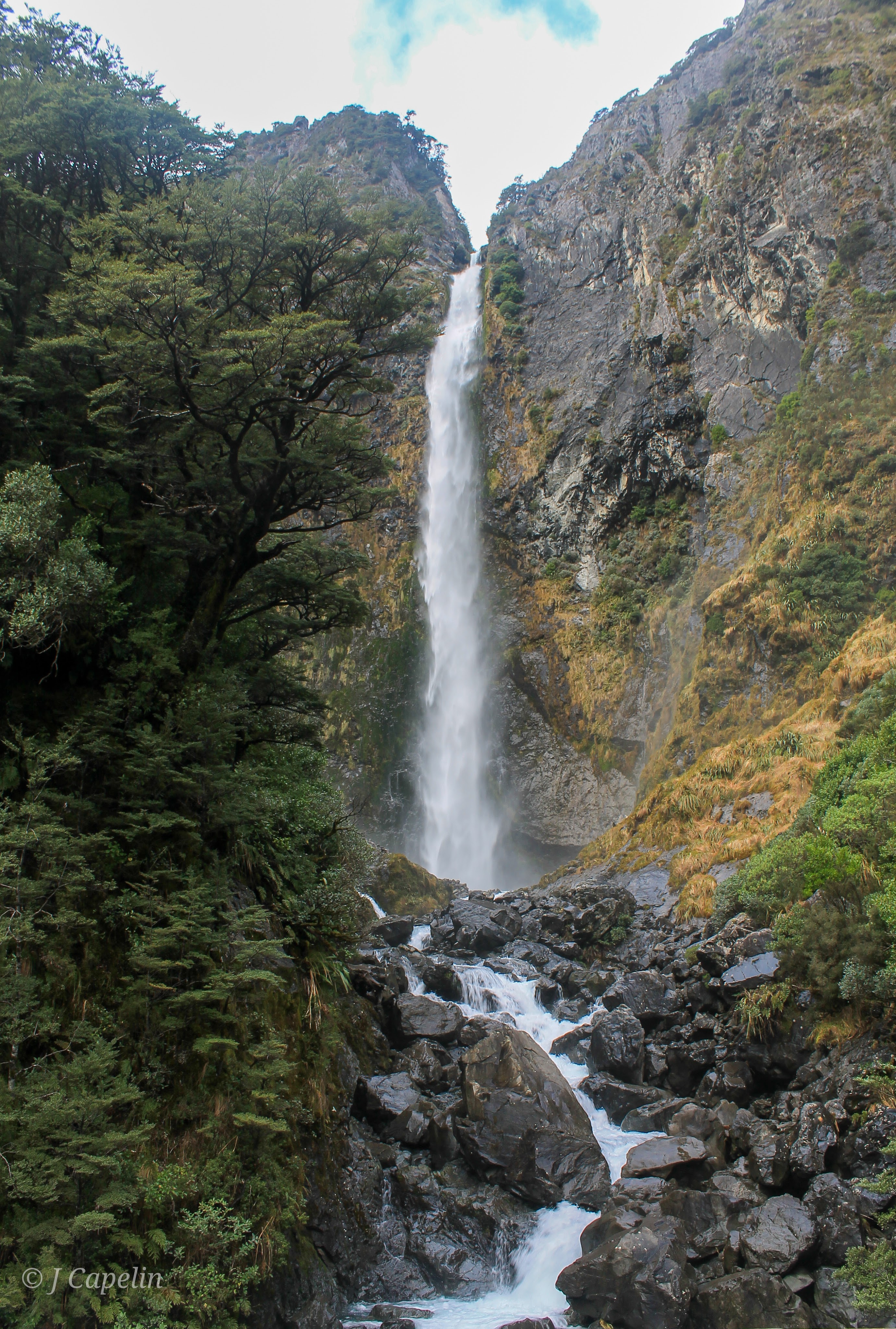
Devil’s Punchbowl Falls
This short walk crosses the river from Arthur’s Pass Village, and climbs through beech forest to a viewpoint at the foot of the waterfall. All the way we could hear the rushing force of water crashing down the mountainside, and feel the cool spray clinging to our skin.
Walking Time: 1 hour return
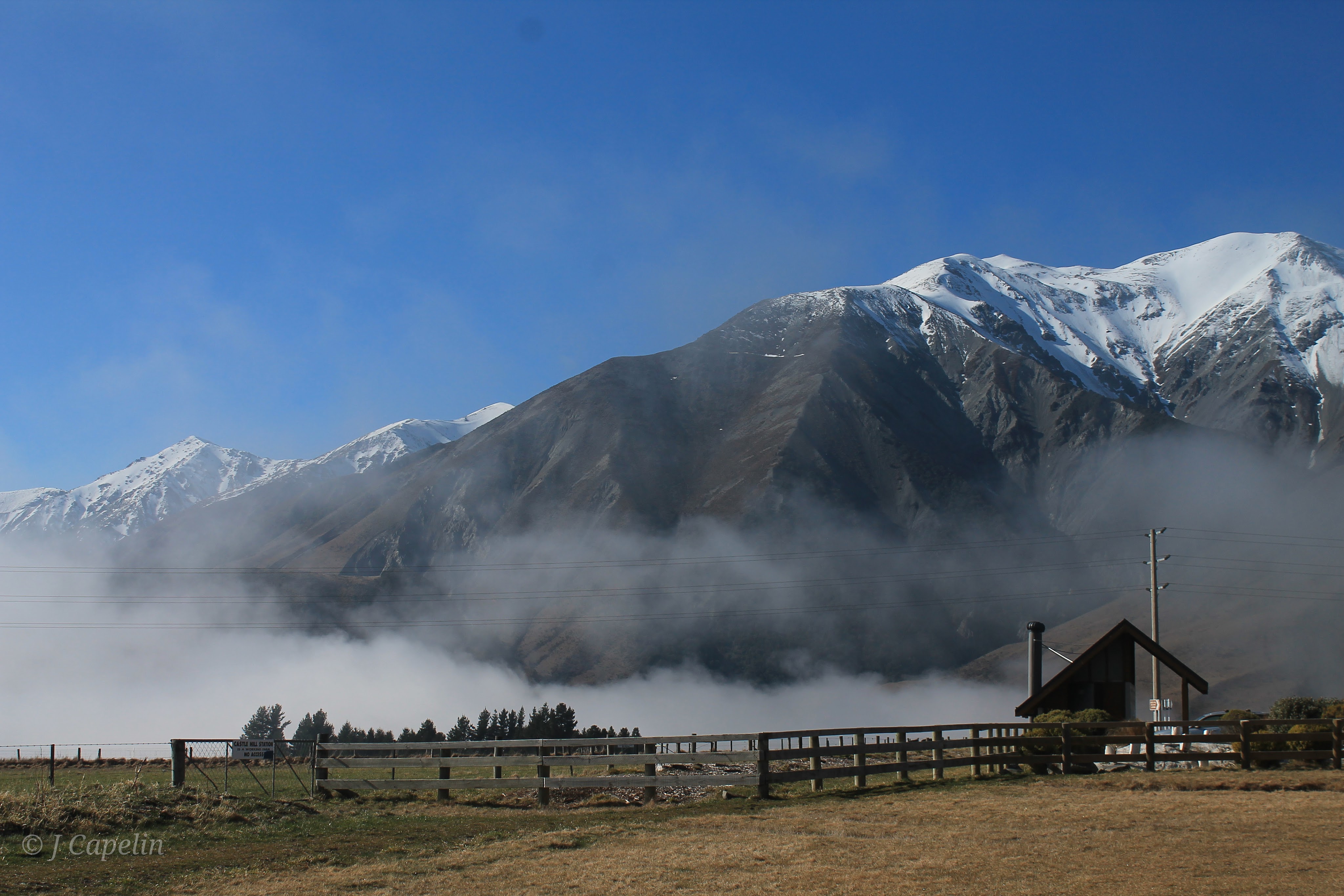
Kura Tawhiti / Castle Hill
Rolling plains expand into the foothills below the mountains, covered in limestone rock formations. This is an official ‘tōpuni’ site; a symbolic cloak of protection to the local Māori, and has always been a significant meeting place. Nowadays Kura Tawhiti attracts rock climbers and walkers to admire the strange land.
Walking Time: 20 mins

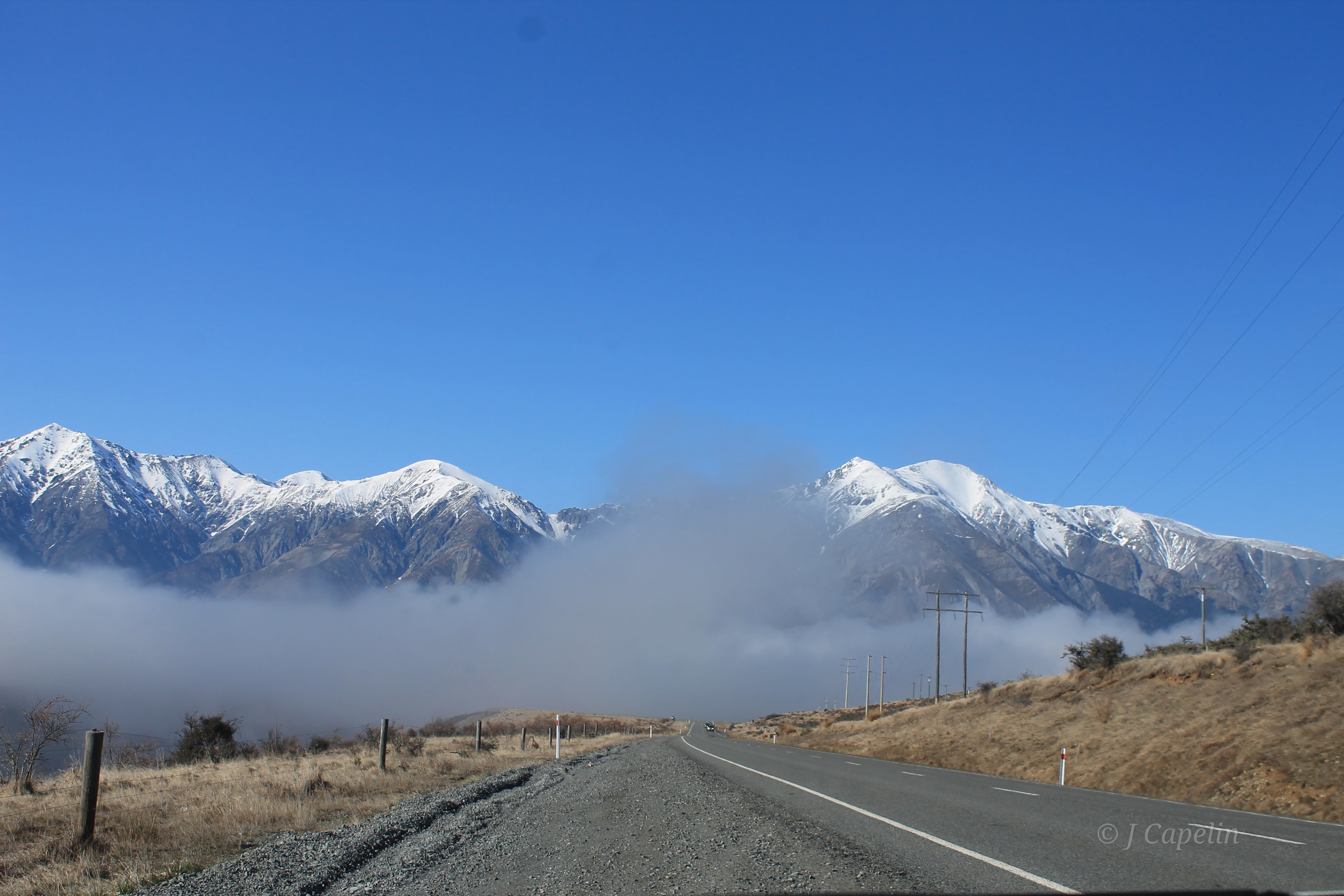
Just the drive itself through the mountain pass is stunning, but there are many side tracks, hikes and ski resorts to explore along the way if you have time. Morning mist slithered through the valleys, plunging the road into darkness every so often, a great contrast to the brilliant blue sky reflected in the river.
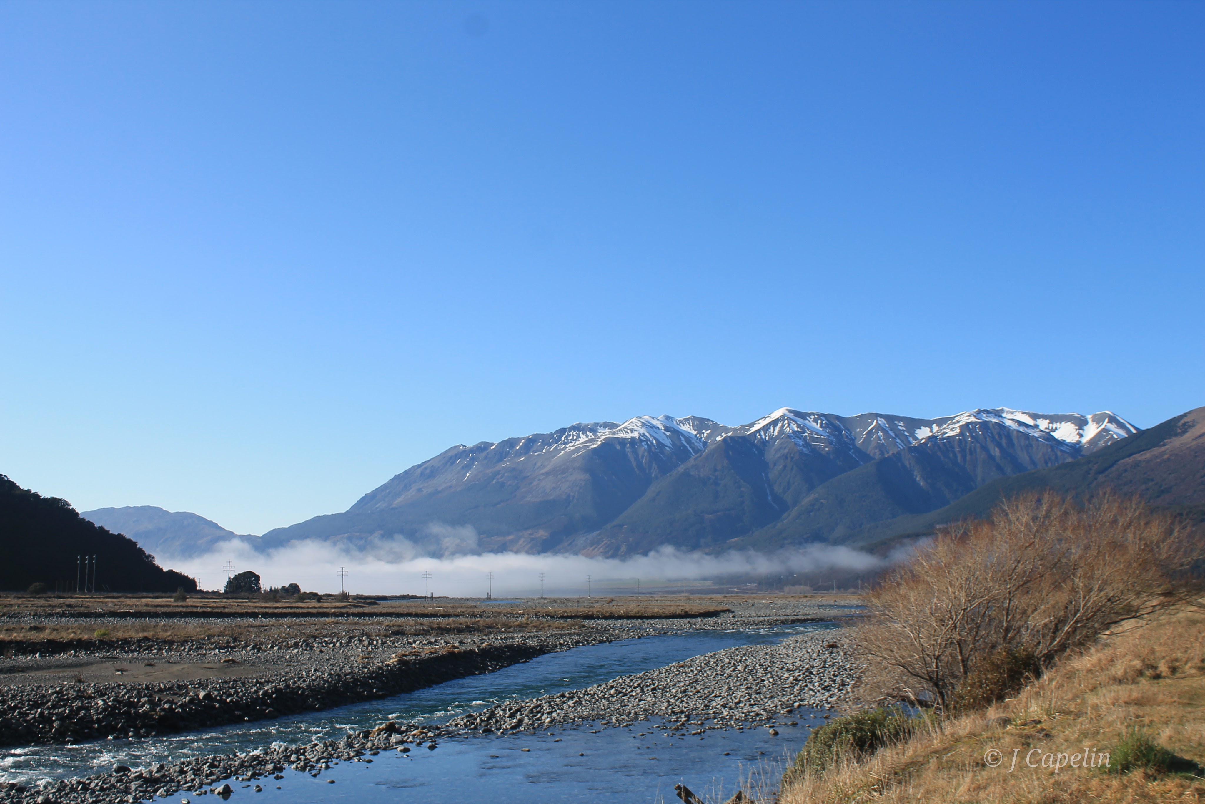
Accommodation: Mountain House YHA < $95 NZD – 1 night
Food & Drink: Bealey Hotel (Pub,) Arthur’s Pass Store (Cafe / general store)
Drive Time: Fox Glacier – Arthur’s Pass Village: 3.5 hours
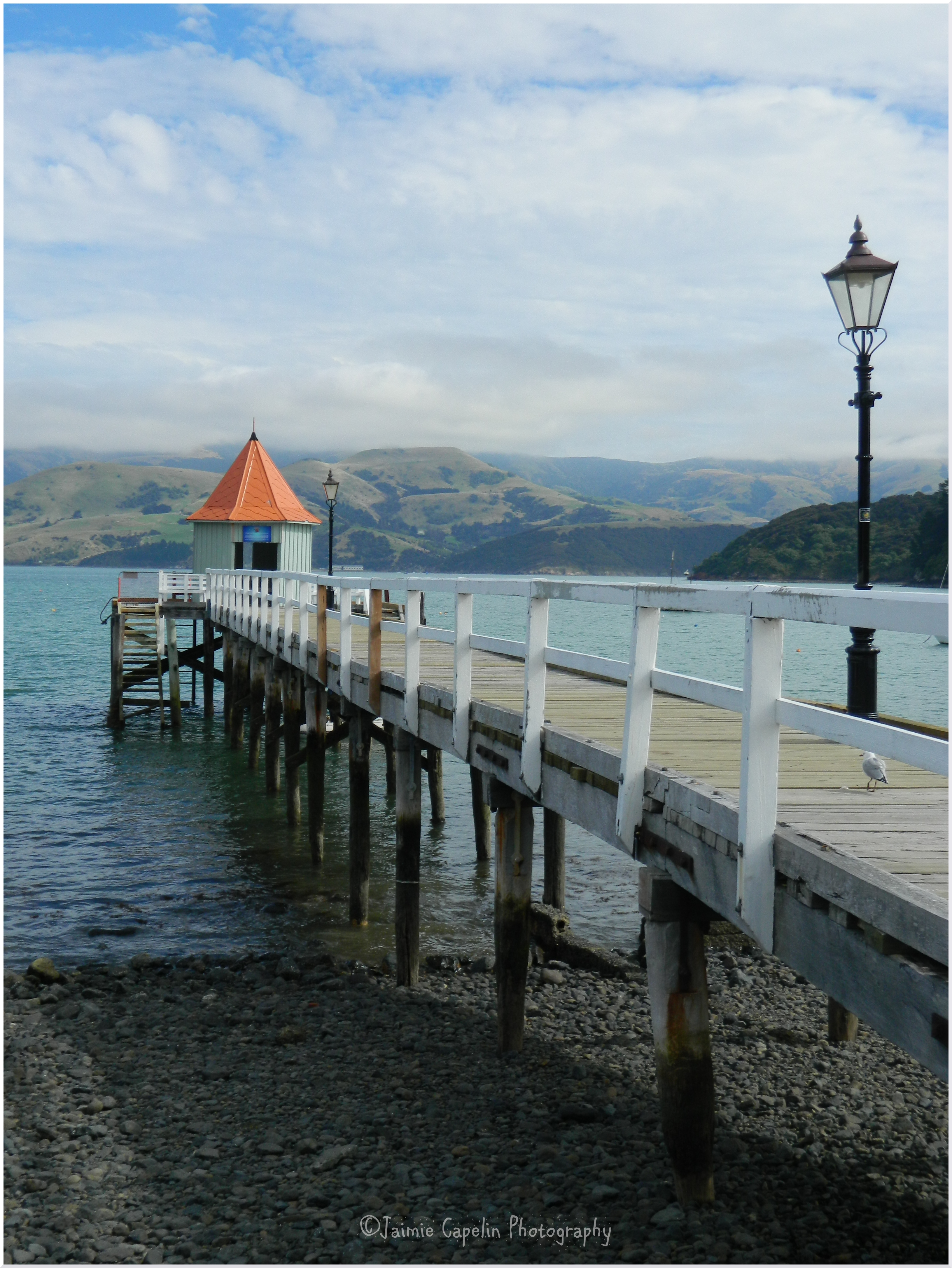
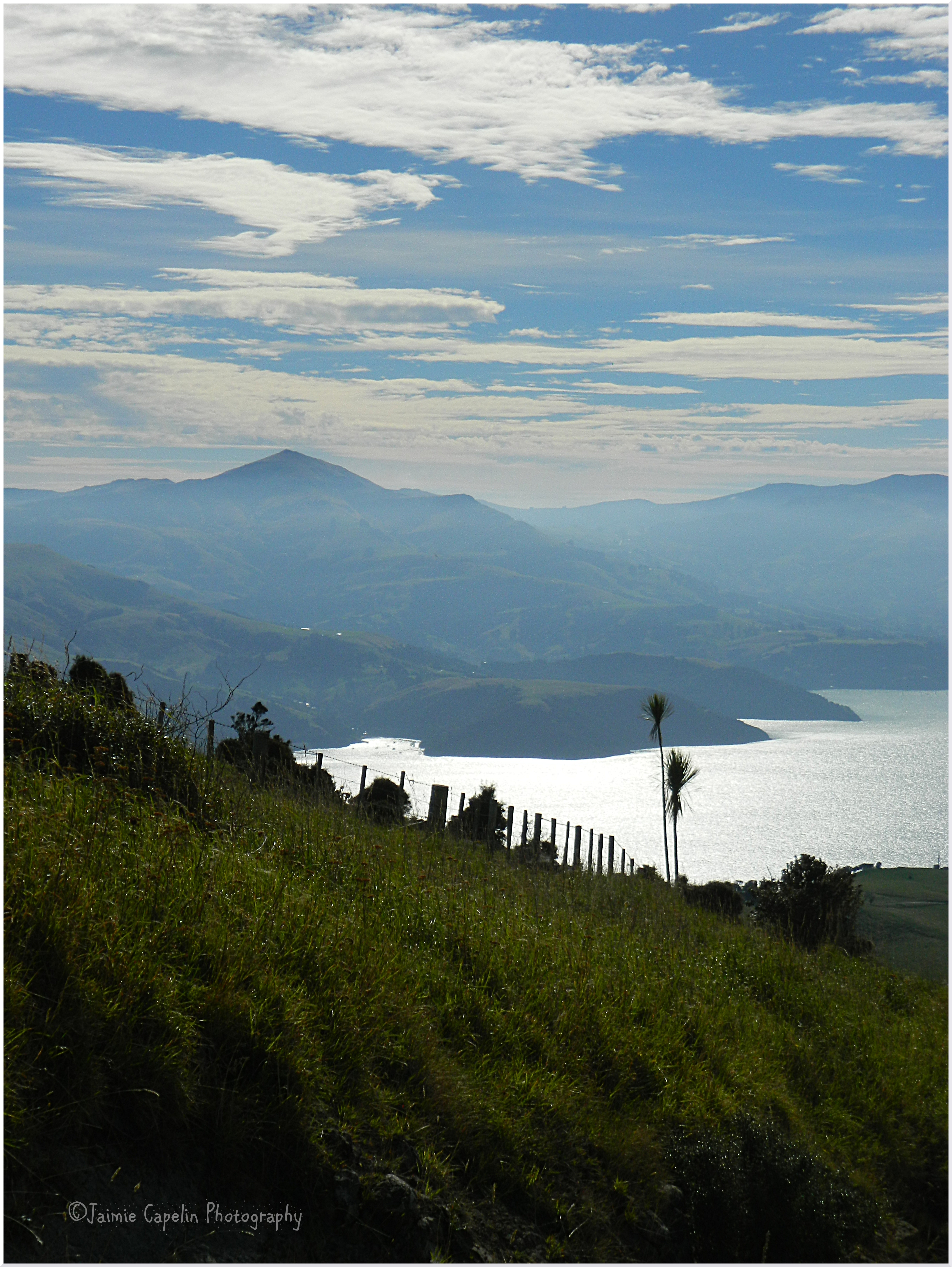
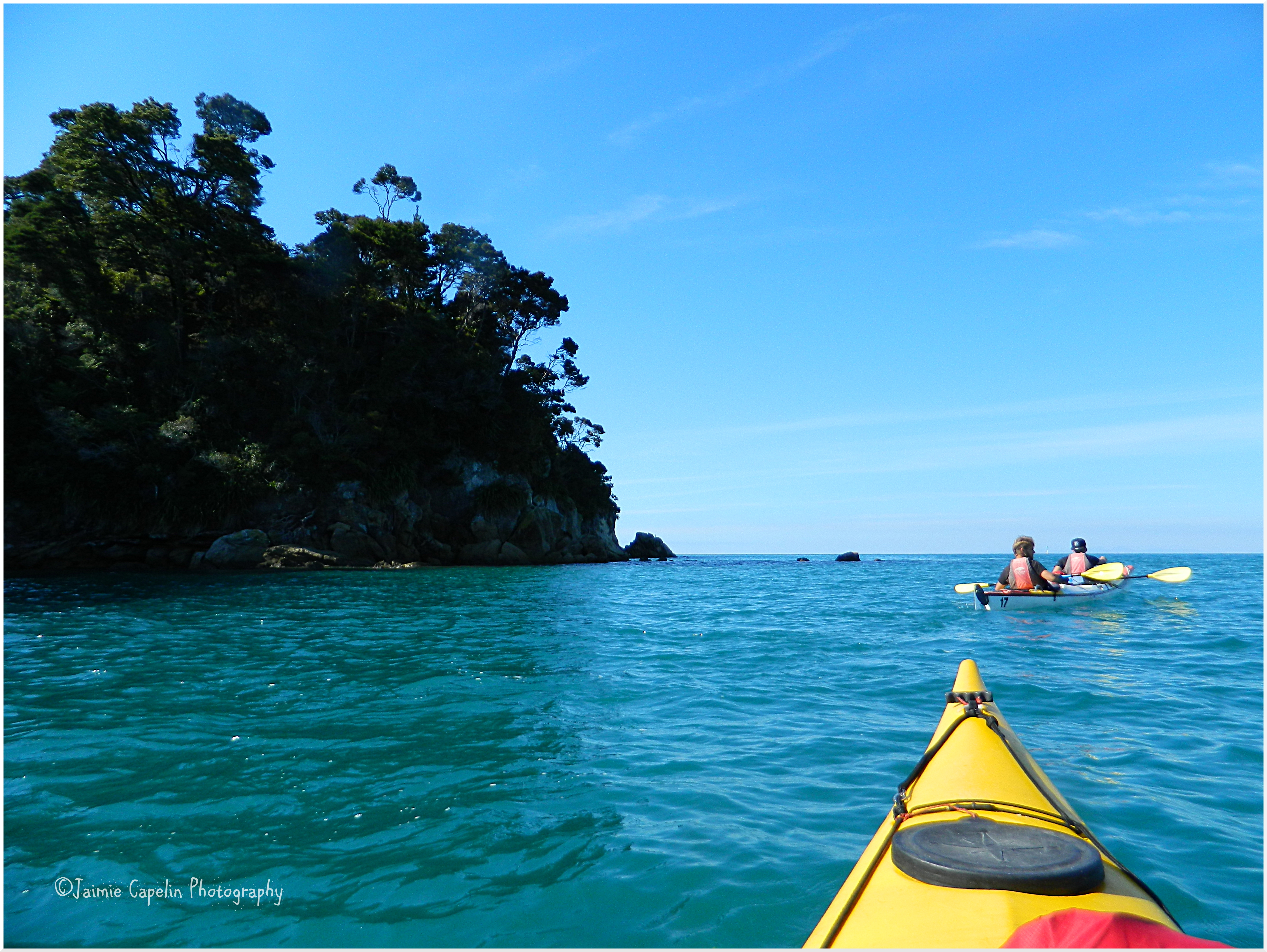
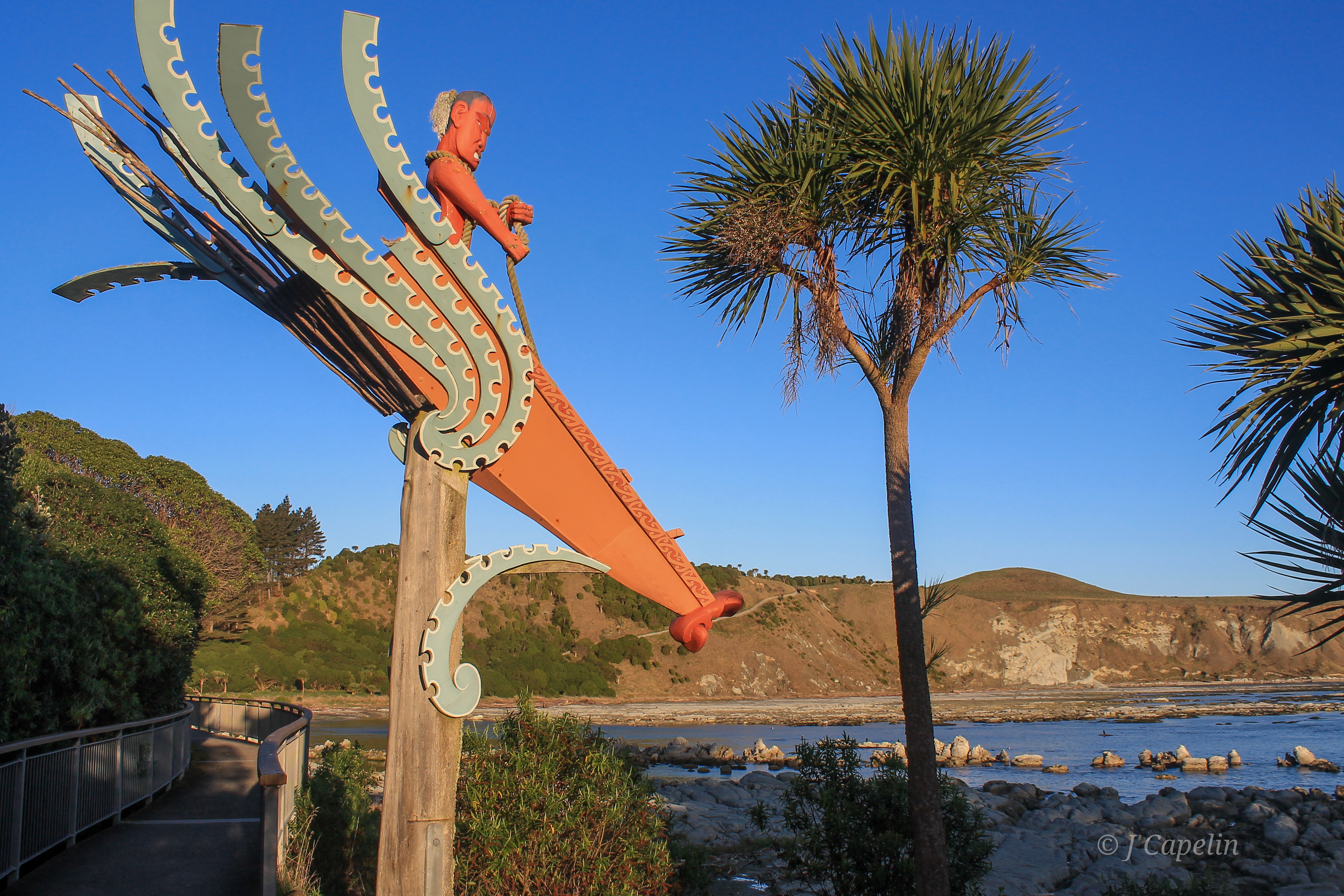
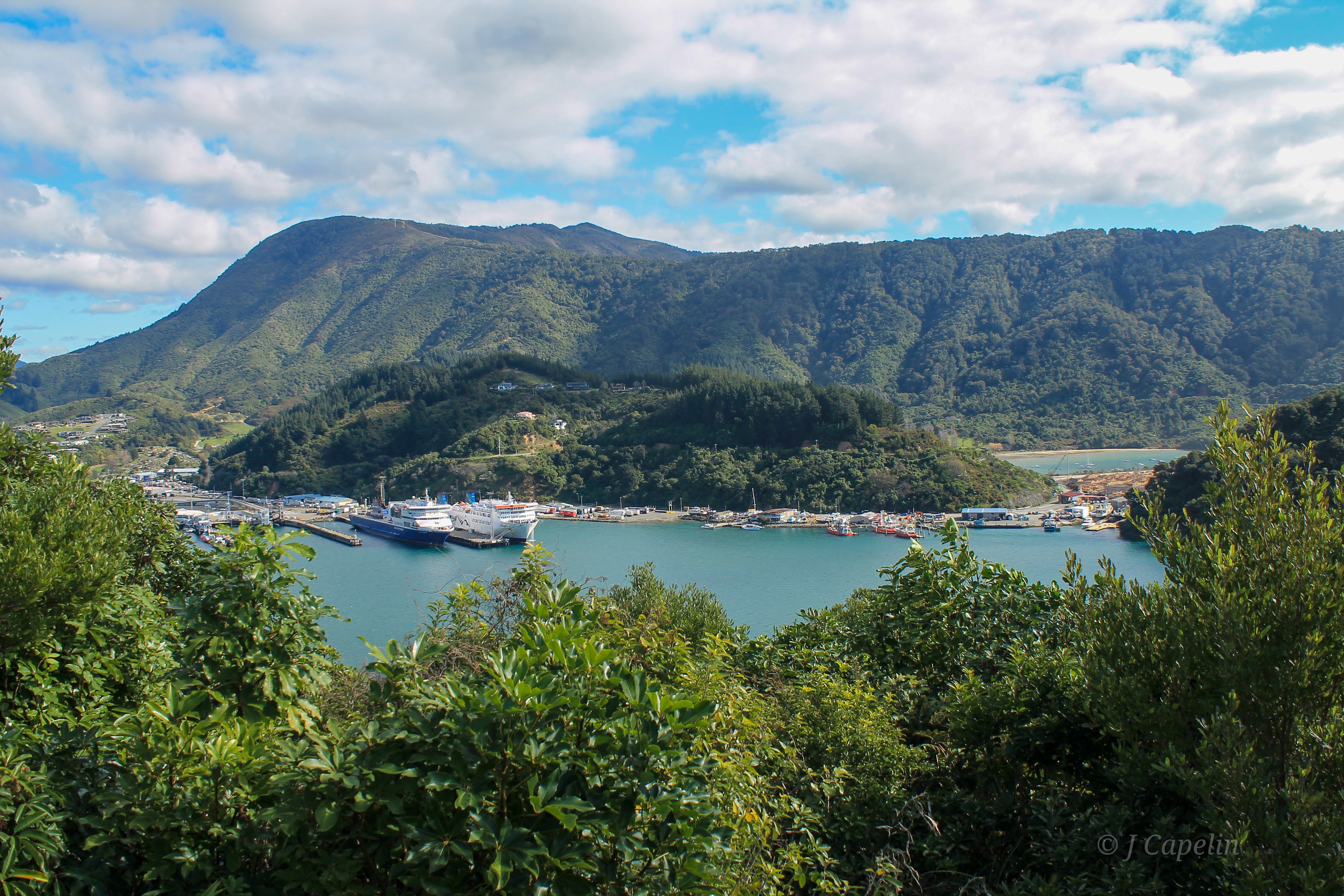
Picton
As the road descended into the Canterbury flats, and the snow-capped mountain peaks grew smaller in the wing mirrors, I couldn’t help but feel a little sad. There’s a certain magic in the mountains of Te Waipounamu that I crave, but Spring was officially in the air and a change of scenery was waiting for us in the Marlborough Sounds.
We drove back up the east coast, via Kaikōura for a night, and were greeted with warm sunshine at Picton – the gateway between North and South Island. It was like two different worlds, a day apart, going from the cold blues of bleak mountain wilderness to the sub-tropical greens of the Sounds and their beaches. This is why I love New Zealand!
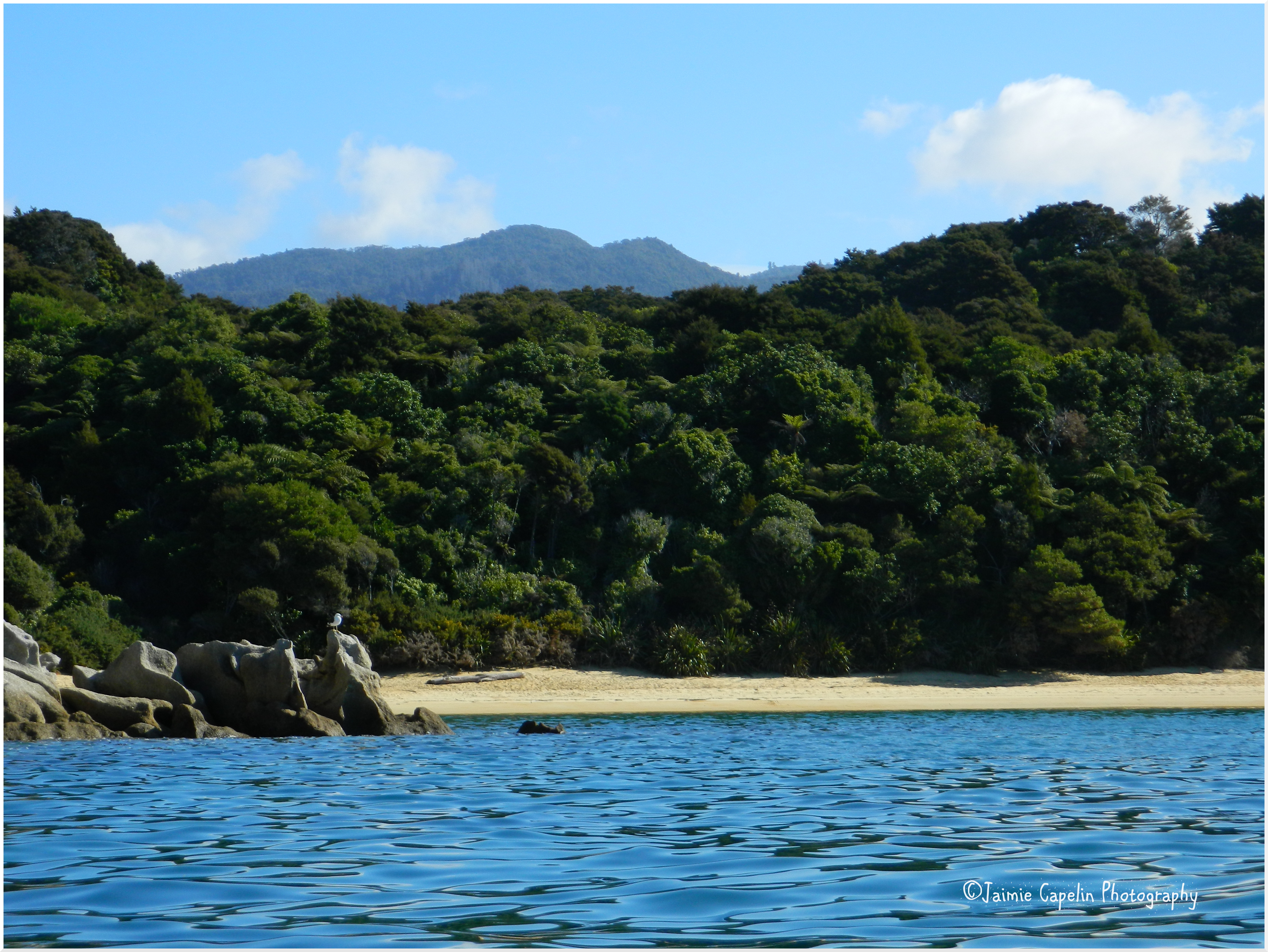
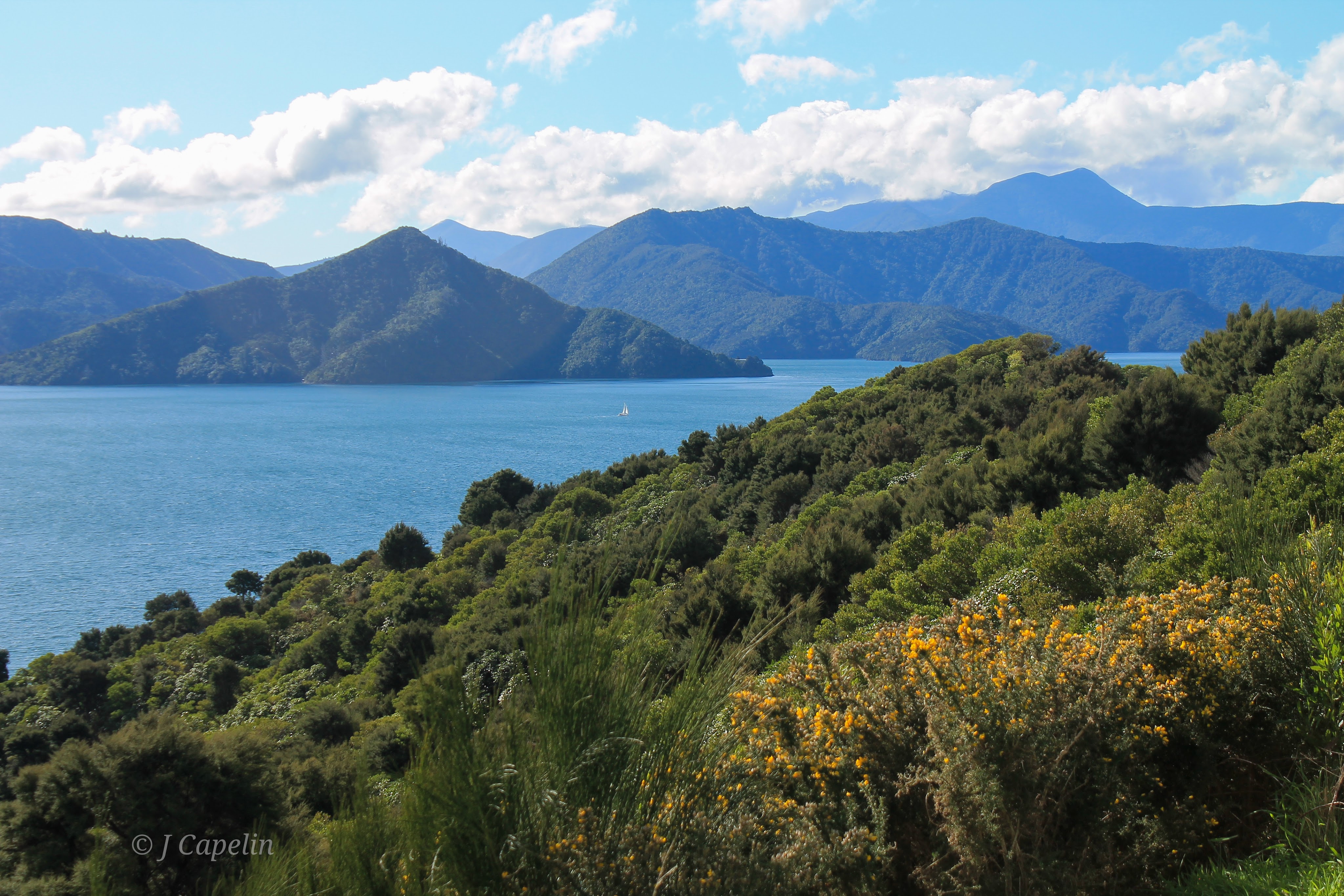
Snout Track
The carpark for the Snout Track is situated on Victoria Domain Road, and is in itself, a viewpoint. The walk took us along the ridge of the peninsula that encases Waikawa Bay, with gorgeous views of the Marlborough Sounds and islands. We walked through the sub-tropical rainforest, fantails following our trail as we stirred up mosquitoes, all the way down to the tip of ‘The Snout.,’ where the blue sea lapped at the rocks while large sea birds soared above.
Walking Time: 2 hours 15 mins

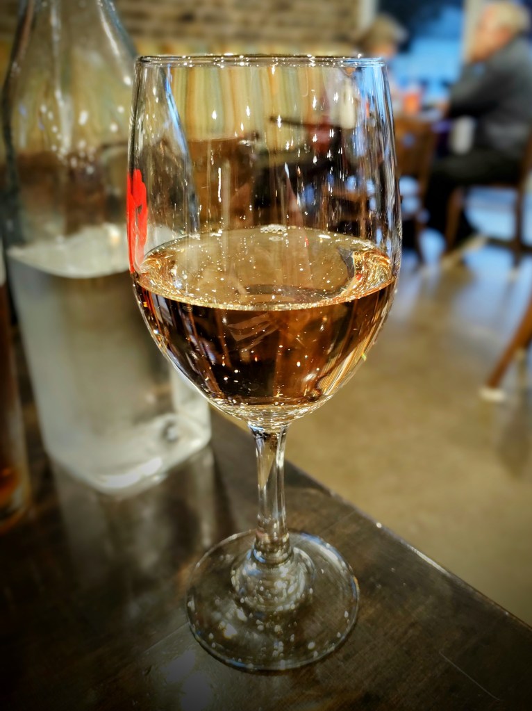
The Marlborough region is famous for its wine, so while in the area, it would be rude not to try some! In the morning, we watched the Interislander ferry come in on the shimmering Sounds, before boarding back to Wellington.
Accommodation: Atlantis Backpackers < $90 NZD – 1 night
Food & Drink: Cortado (Pizza restaurant,) Le Café (café,)
Drive Time: Arthur’s Pass – Kaikōura: 4 hours. Kaikōura – Picton: 2 hours