How I made the most of 4 nights in New Zealand’s capital city at the end of winter without a car.
Revisiting the south of New Zealand for the first time since I lived and backpacked there in 2014, I realised that I’d always just passed through the country’s windy capital without really seeing anything! So when Lockdown ended I decided it was time – without the constraints of a backpack and tent – to actually get to know Wellington.
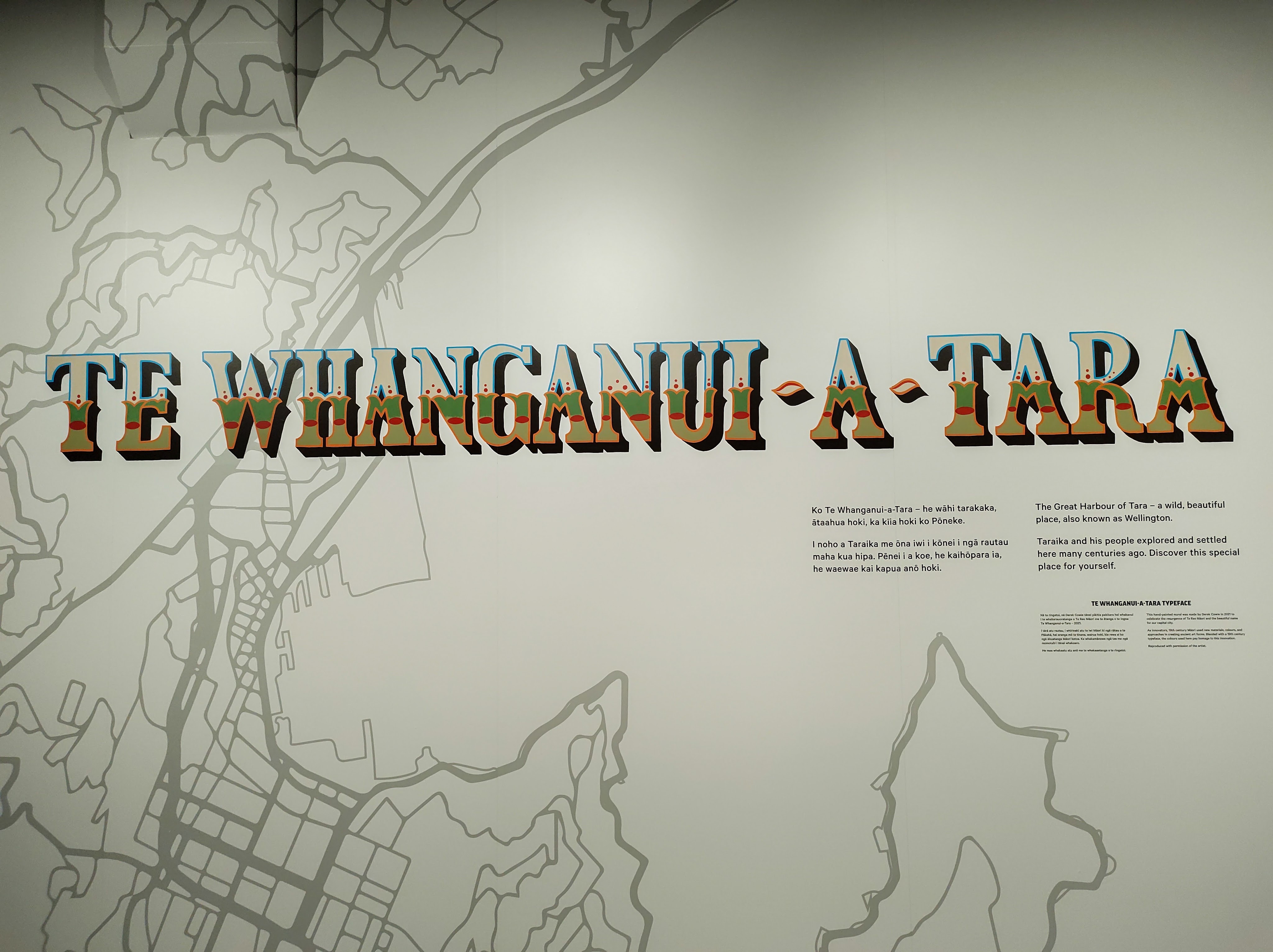
Te Whanganui-a-Tara means ‘the great harbour of Tara;’ Tara being the son of a Polynesian explorer whose descendants made this their home.
Budget
Total: $1,150 NZD between two, (end of winter, 2022.)
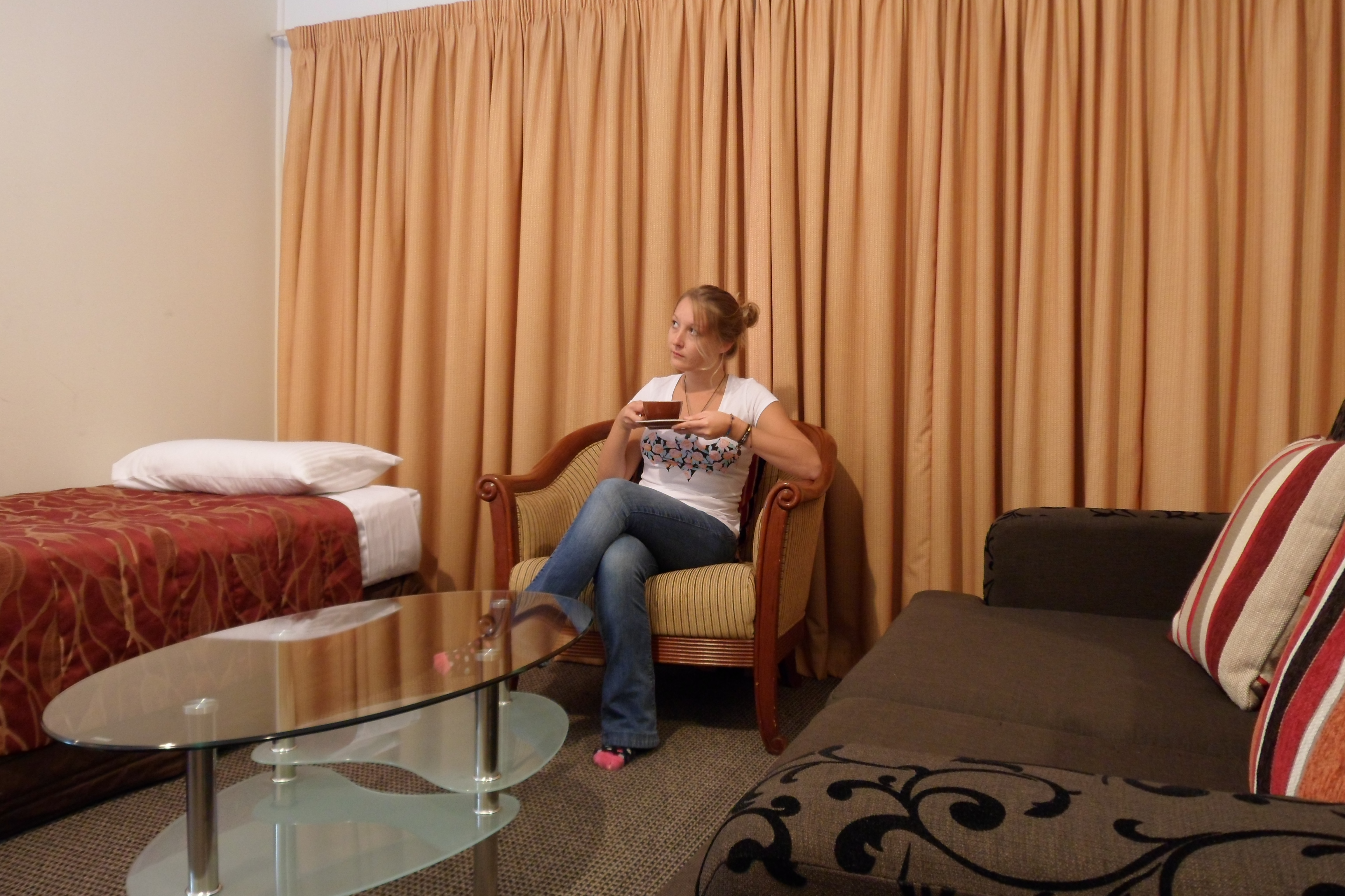
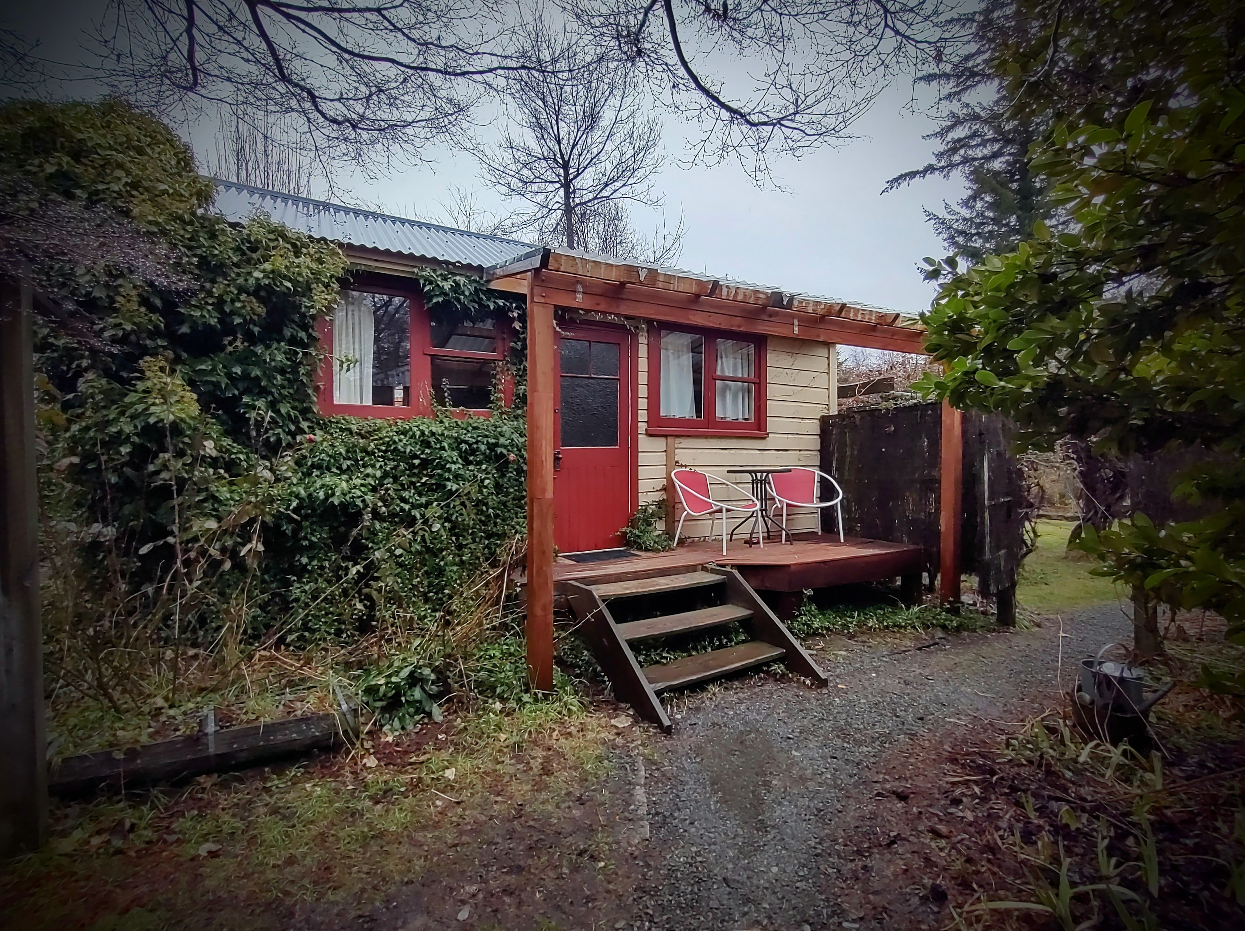
My partner and I pre-booked a small studio apartment through Air BnB, situated on The Terrace in Te Aro – a quiet, hillside road surrounded by trees, just a 7 minute walk to Cuba Street.
Accommodation: < $600 NZD for 4 nights
We allowed ourselves a semi-flexible spending budget in Wellington, but I don’t think we did too badly over four days!
General Spending: $550 NZD between two
Must Do Experiences
Wellington Cable Car
The first thing on my to-do list was catch the Wellington Cable Car; I don’t know why I’d missed the opportunity in the past! Operating since 1902, the cable car boasts some of the city’s best views, and the destination terminal – Kelburn has some worthwhile attractions to see, including the Wellington Botanic Gardens & Carter Observatory. We used Wellington’s public transport card – ‘Snapper’ – to ‘tap on’ the cable car (from Lambton Quay only) with a significant discount. Note: this payment method is due to change in October 2023.
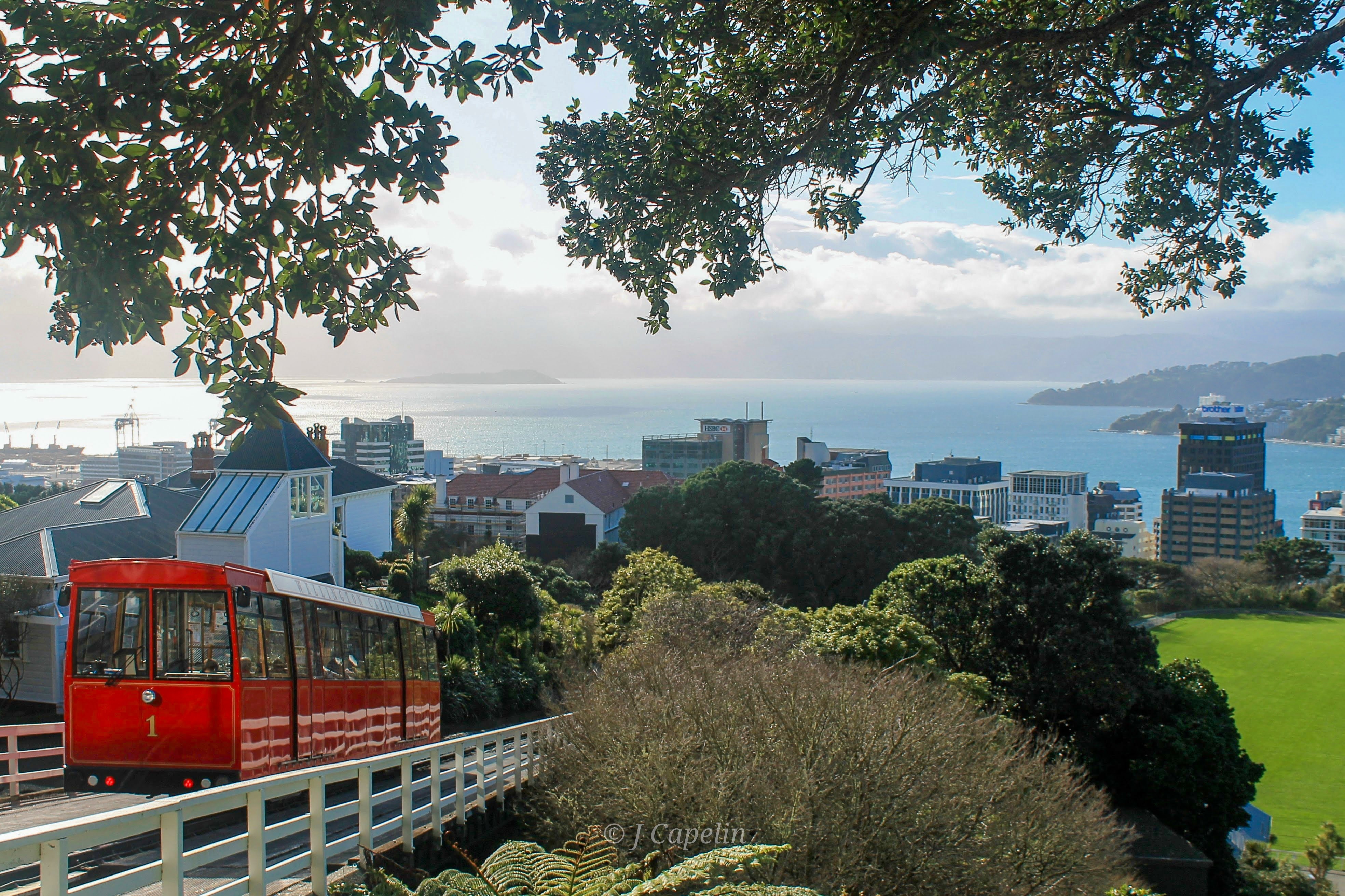
Location: Cable Car Lane, Lambton Quay, Wellington
Cost: $6 NZD one way, $11 NZD return
Time Allowance: 5 mins
Zealandia
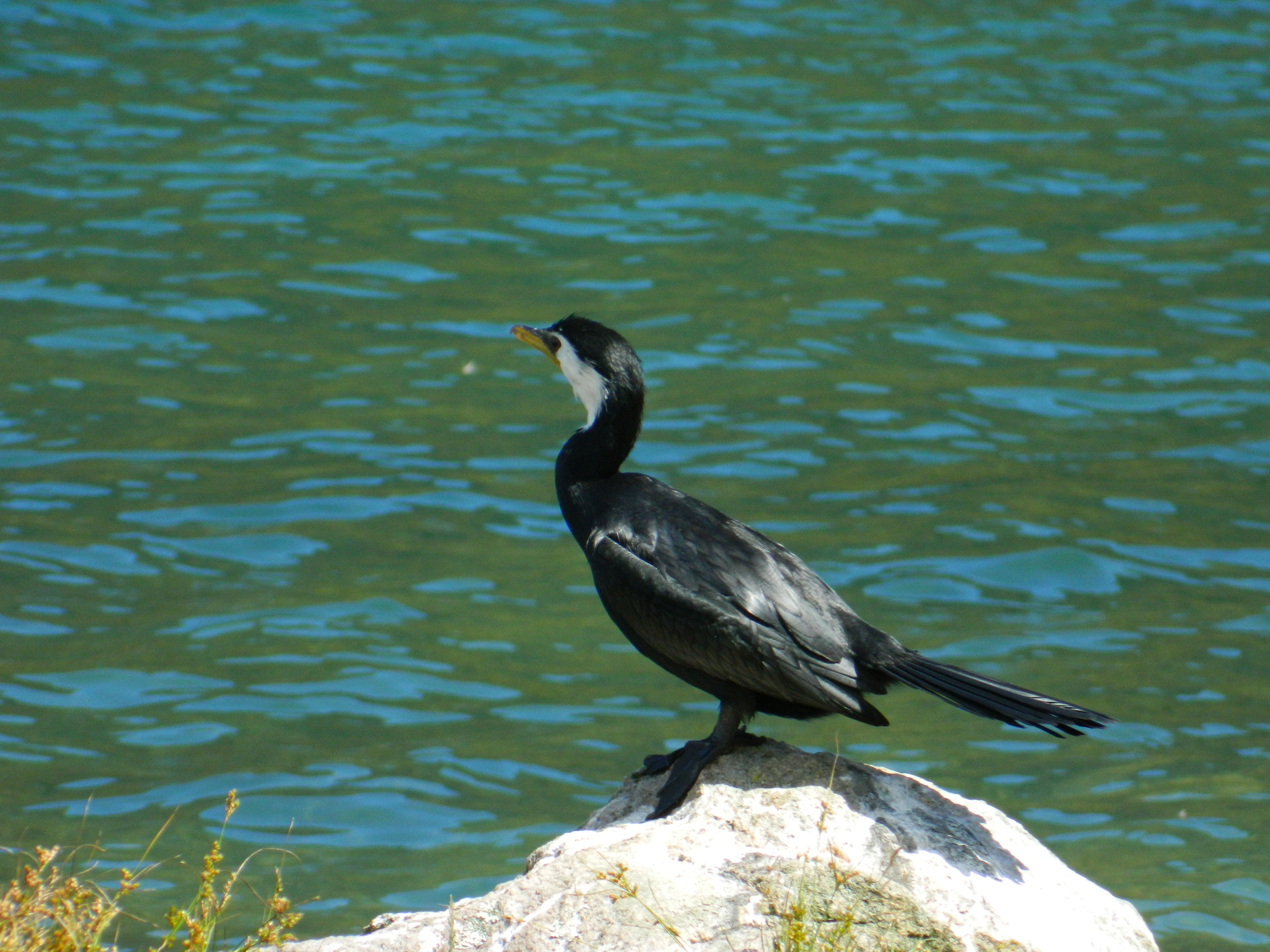
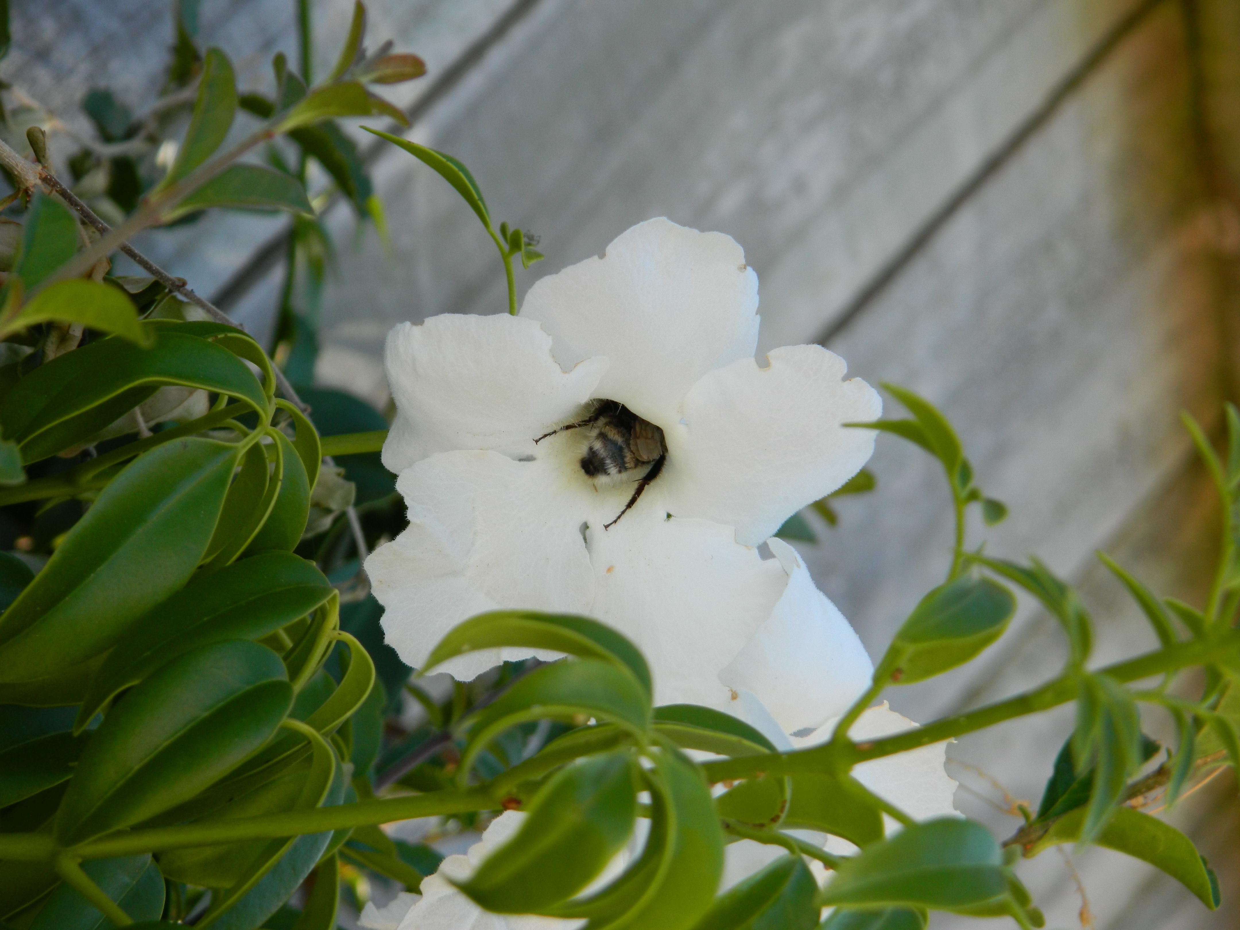
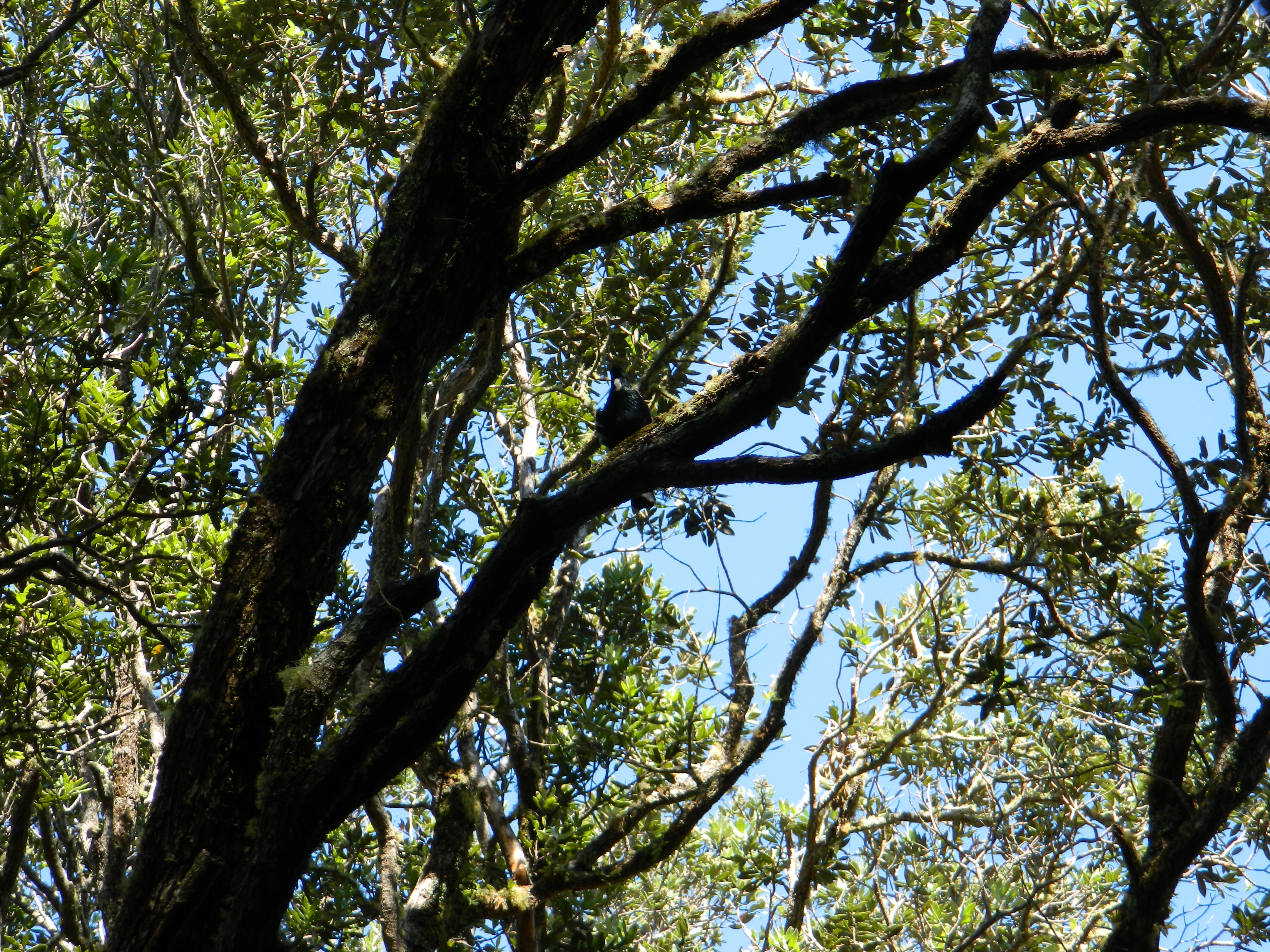
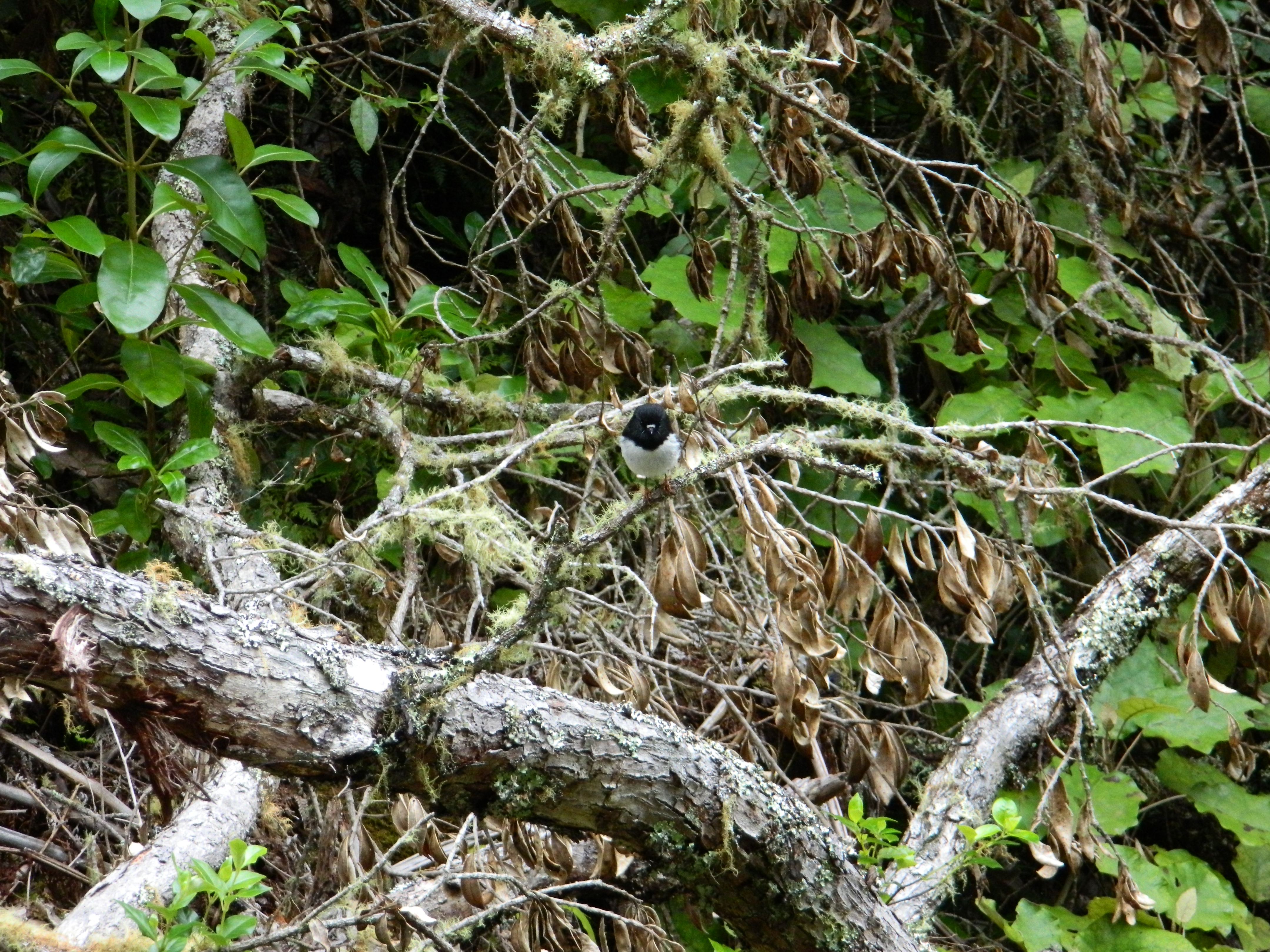
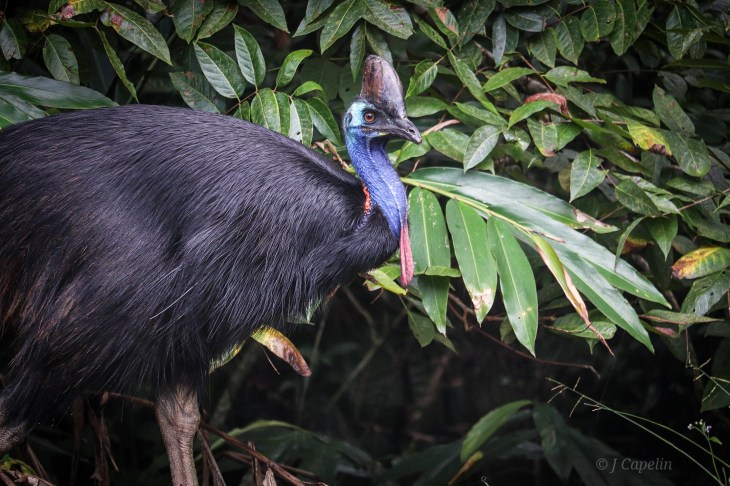
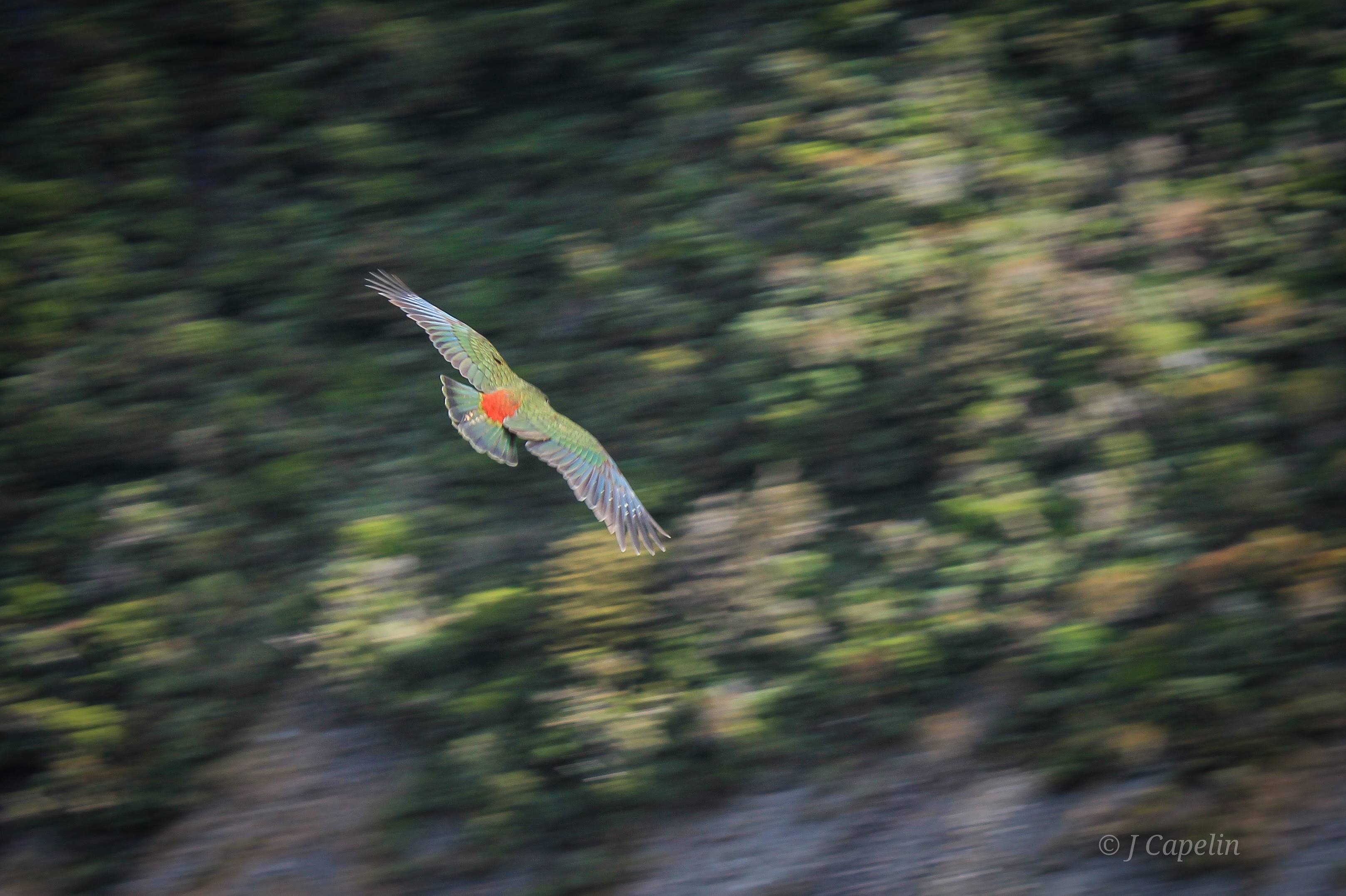
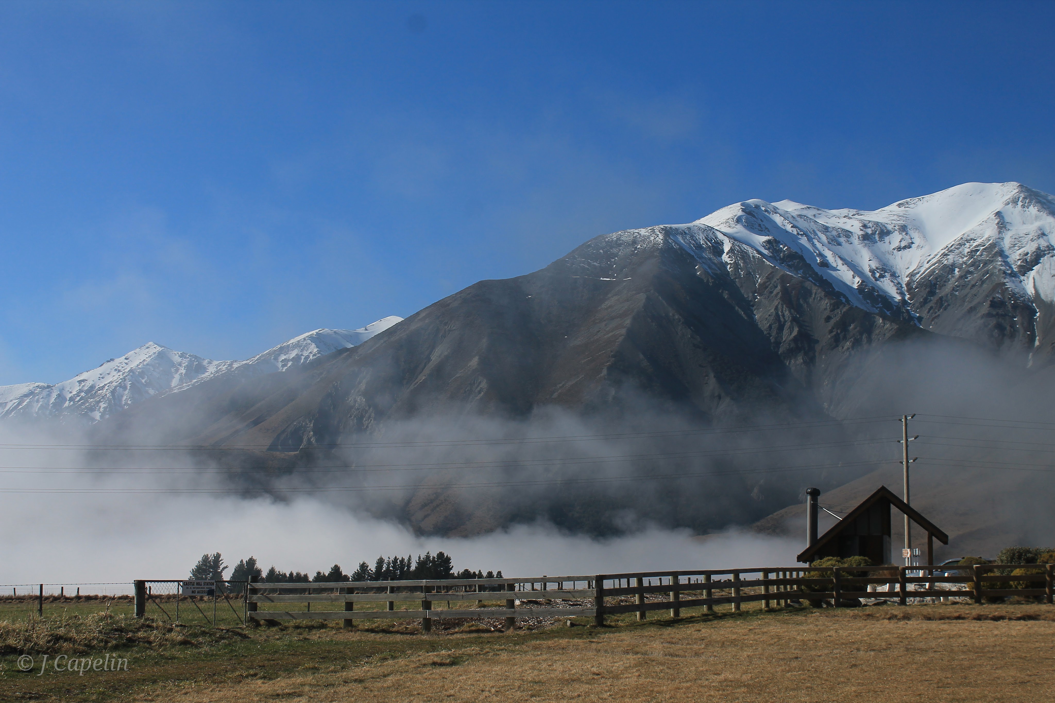
After being woken in the night by the cheeky squeaks and squawks of Aotearoa’s endangered parrots – the kākā – flying through the neighbourhood, fomo got the better of me and I had to go and find these incredible birds at Wellington’s renowned nature reserve: Zealandia. The rain was already setting in as we caught the bus from the city, and when we arrived we were seemingly the only people there. With our boots and raincoats donned, we enjoyed the rainforest ambiance, and the hazy broken surface of the lake where Pied Shag nestlings shook the rain off their downy feathers in their giant lakeside nests. We were lucky enough to meet the reserve’s pair of takahē, who were happily plodding about in the rain, stripping grass with their stout beaks like a couple of little blue dinosaurs!
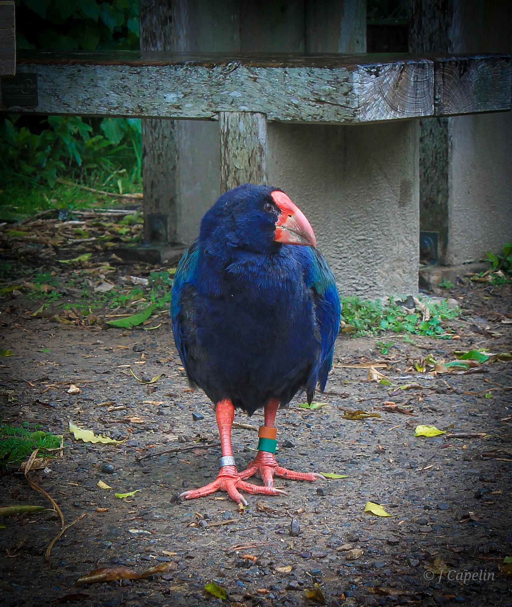
Takahē were actually thought to be extinct until a pair were discovered in Fiordland in 1948, and since then the Department of Conservation have been on a mission to carefully restore their population. Adult pairs will only have 1 or 2 chicks per year, and because they are such territorial birds that require up to 100 hectares of space per brood, it’s a slow process! I count ourselves pretty lucky to have stumbled across this pair.
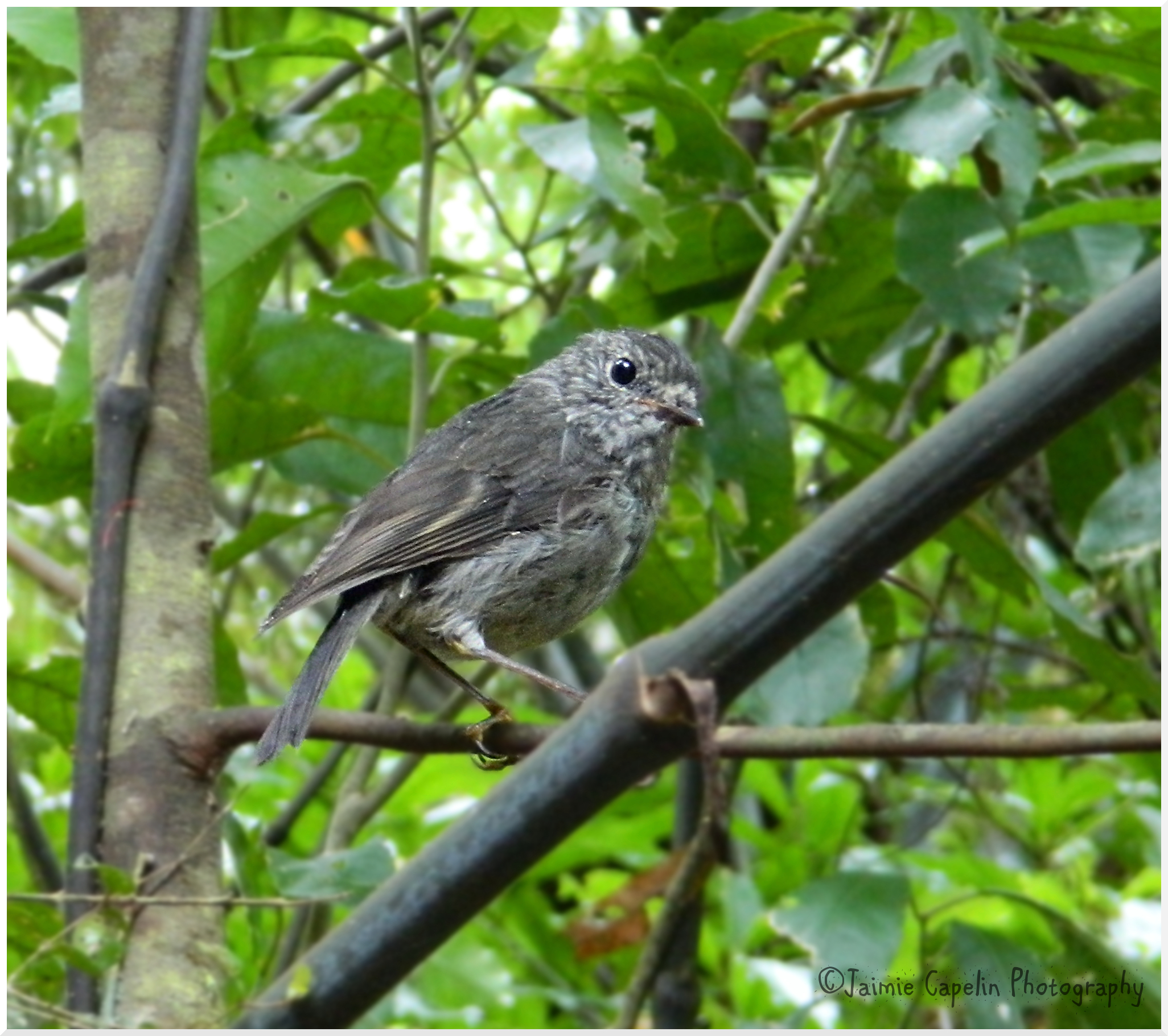
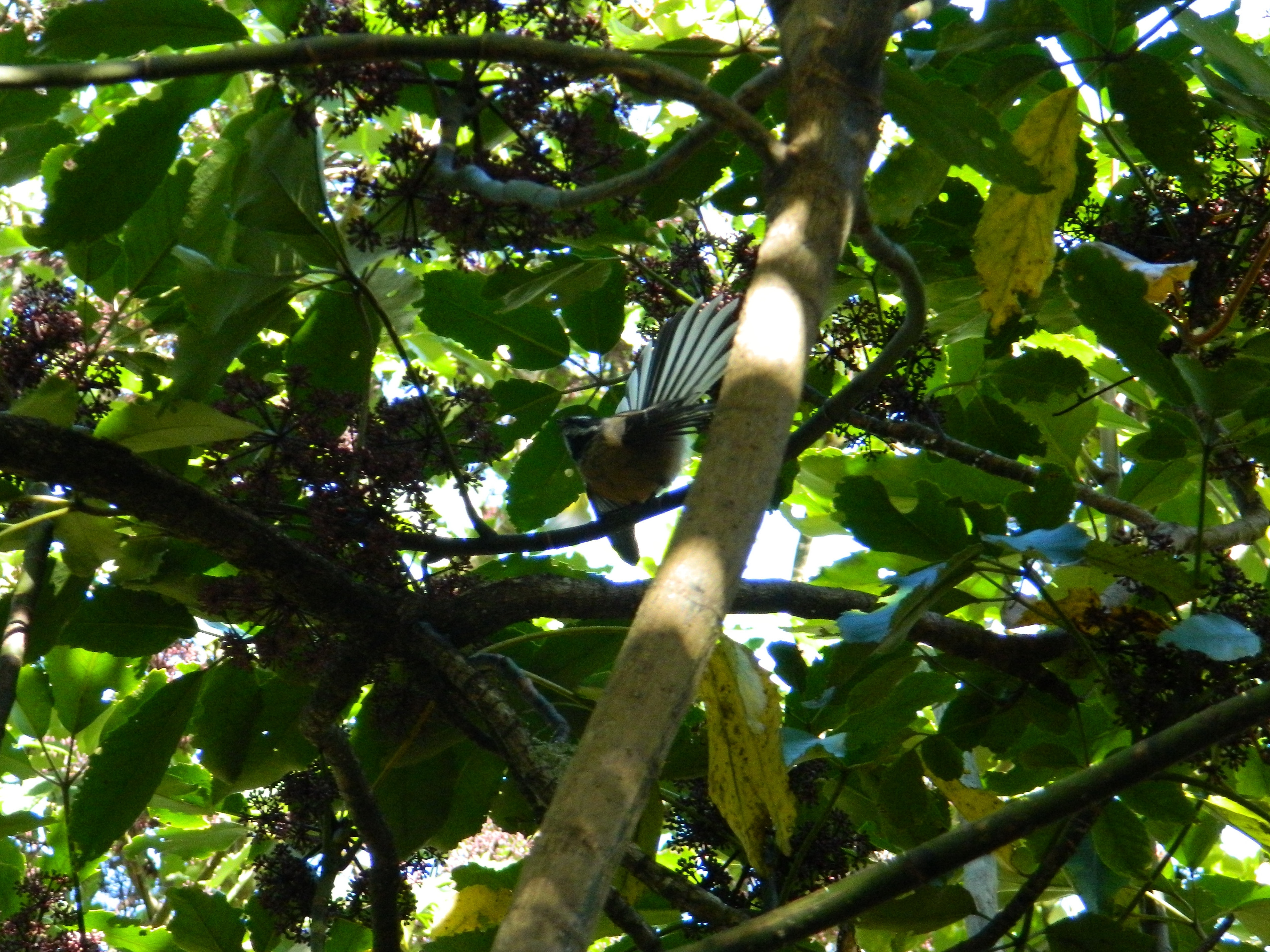
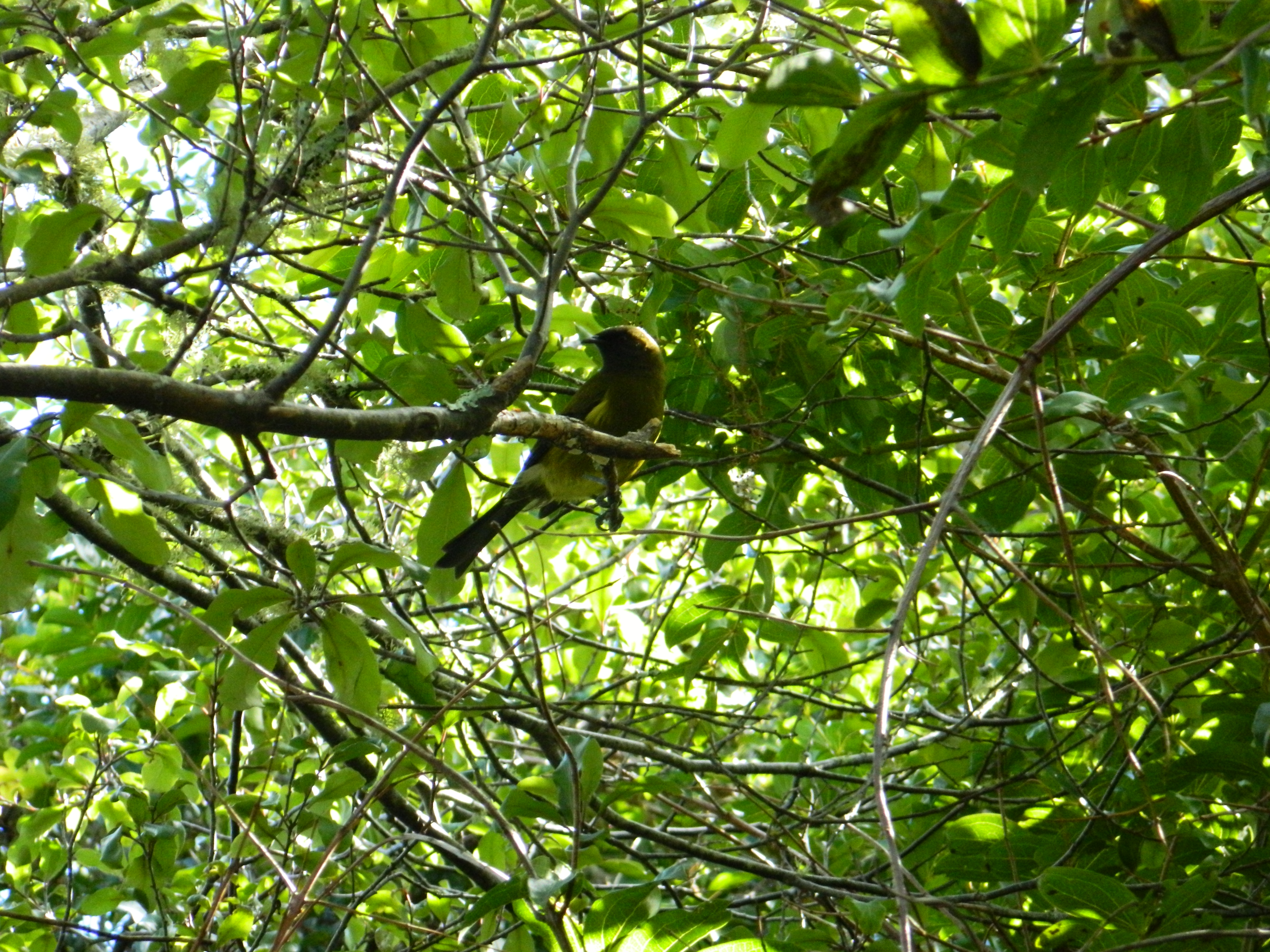
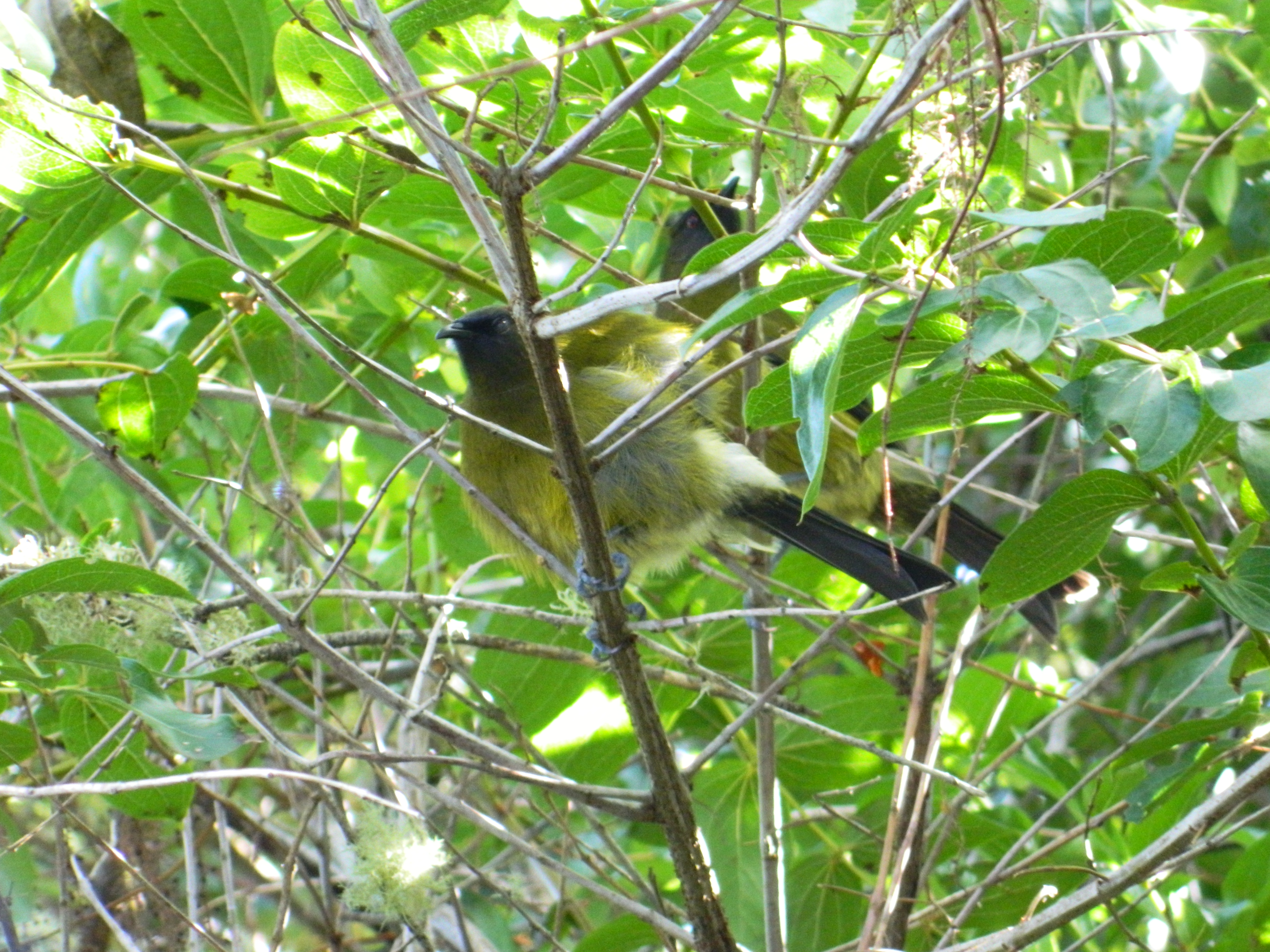
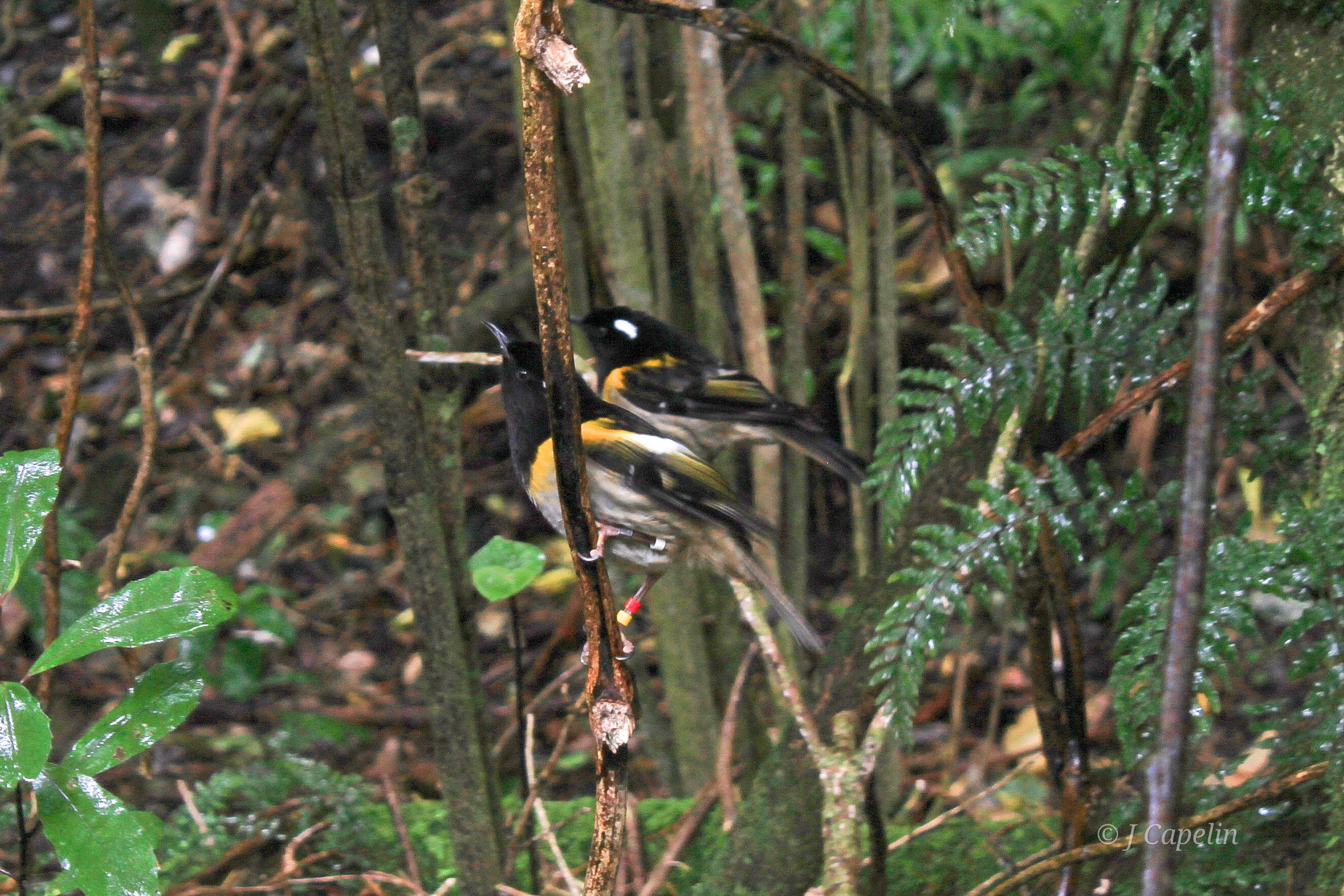
Tui and Bell Birds sounded their music through the pitter-patter in the canopy, and we saw a couple of little black & yellow hihi (Stitch Birds) bouncing between twigs in the bush, but still no sign of the illusive kākā.
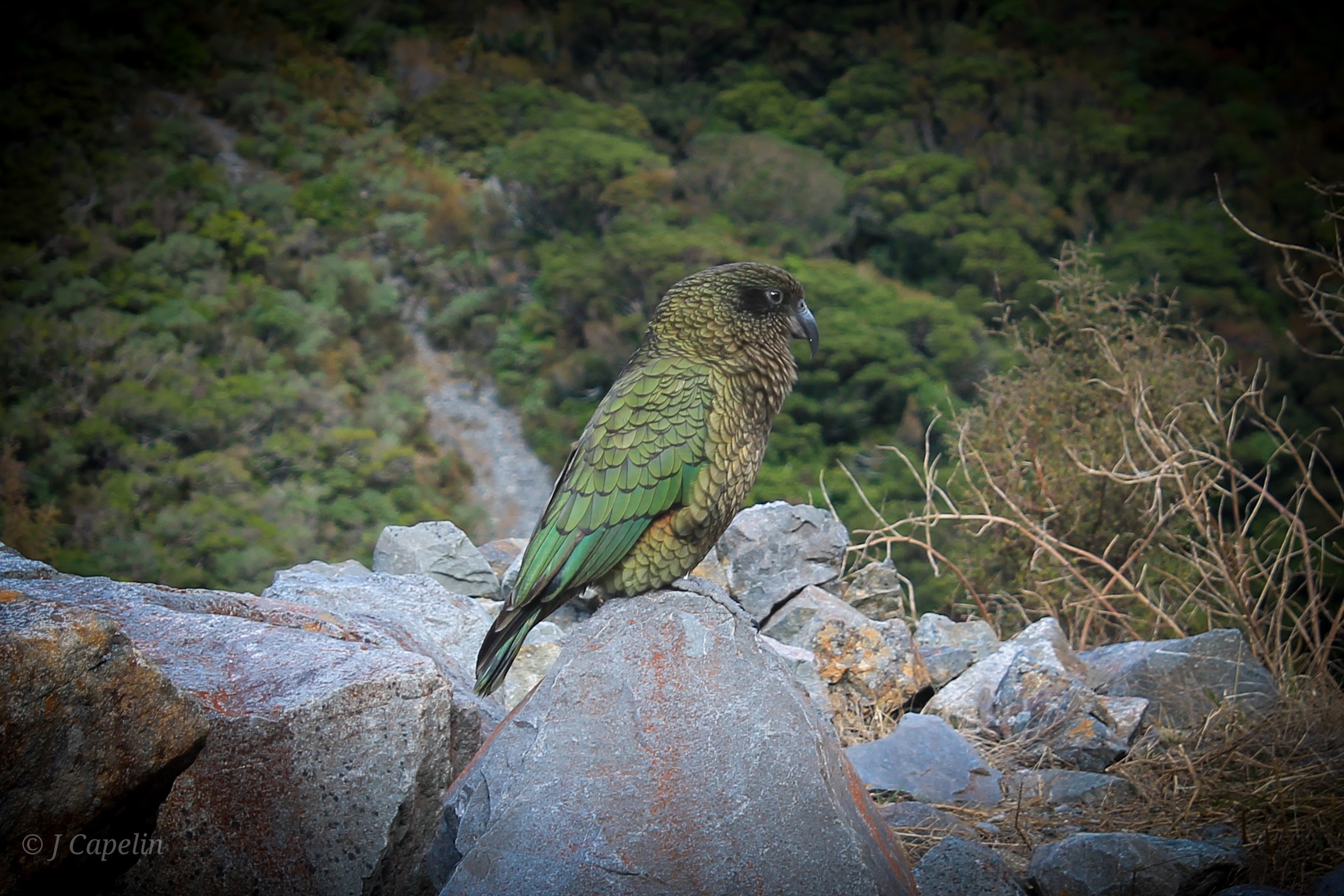
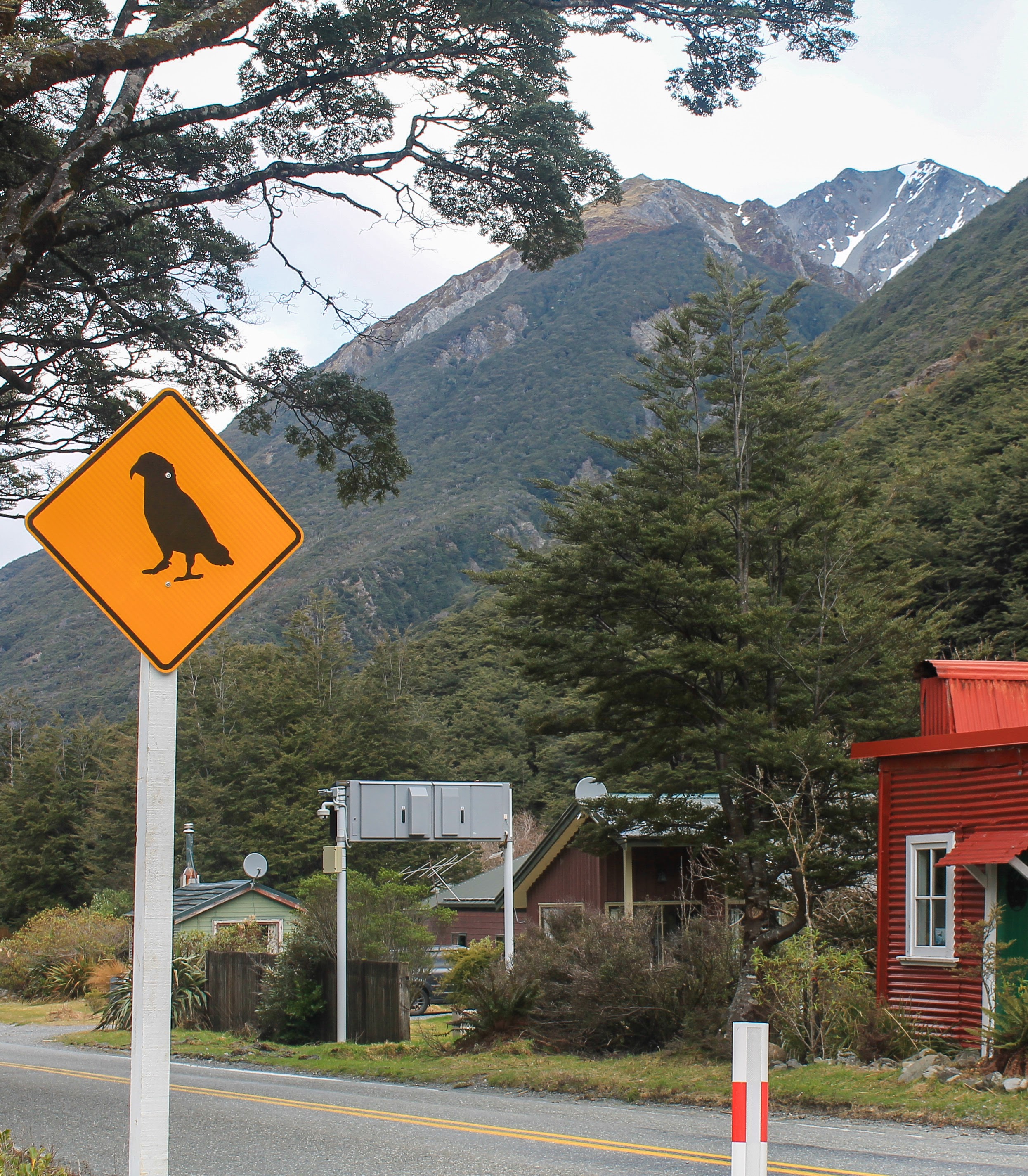
The cold rain made my clothes cling to my skin, and just as I was about to give up on seeing a kākā, one landed near the feeders, then another, and another! Soon there were several large, native parrots hopping around the feeders, opening the specially built mechanisms with their claws and beaks to get to the food. Their feathers aren’t as bold as their personalities, but they do have brilliant scarlet under-wings and pretty splashes of yellow on their cheeks.
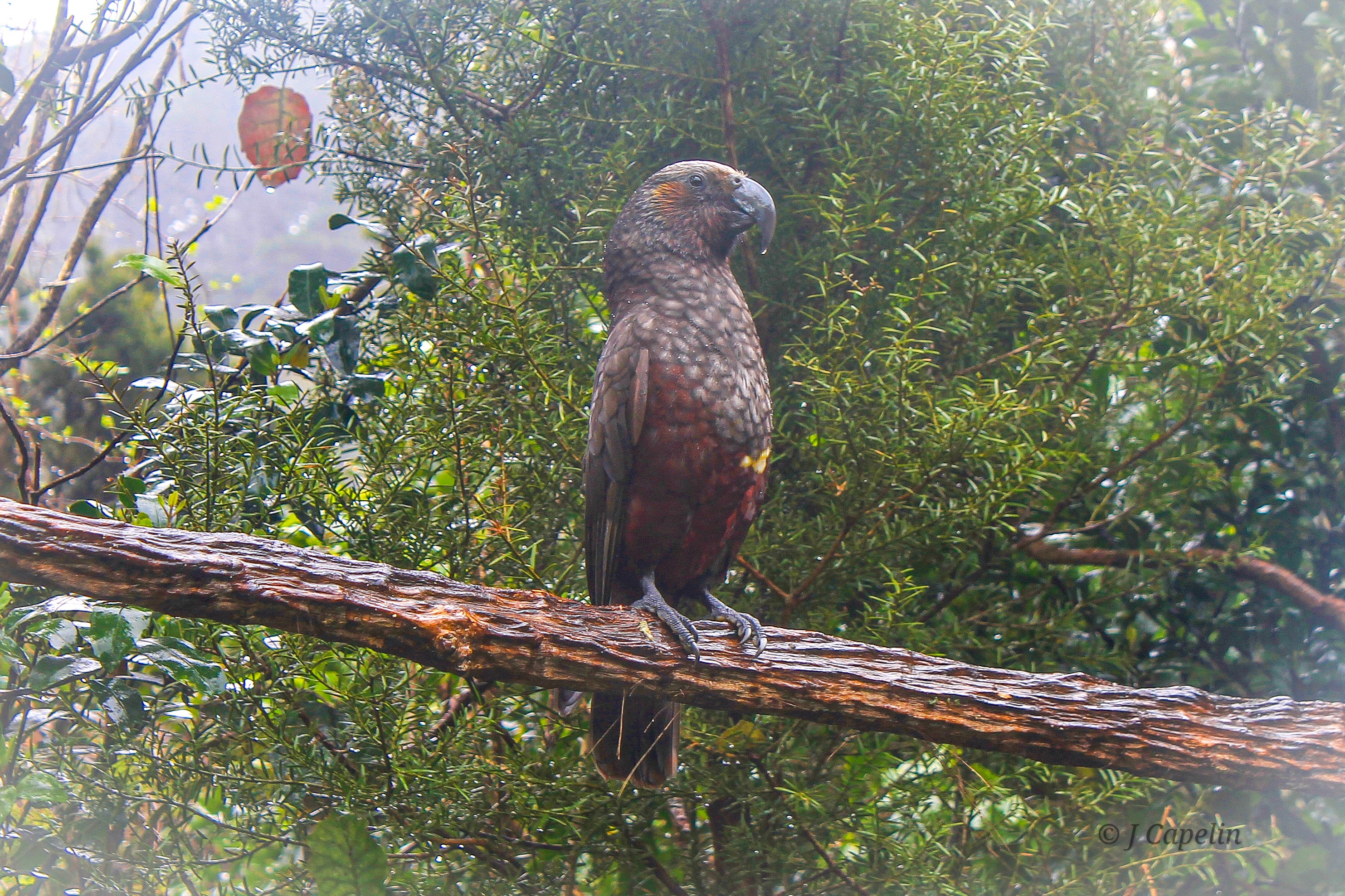
A close relative of the South Island kea, kākā are endangered and a rare sight, but Zealandia’s project to reinstate the parrots into Wellington is working, and they are finally beginning to thrive again around the city (though you tend to hear them more than you see them!)
Location: Waiapu Road, Karori, Wellington
Cost: $24 NZD general admission
Time Allowance: 2 – 4 hours
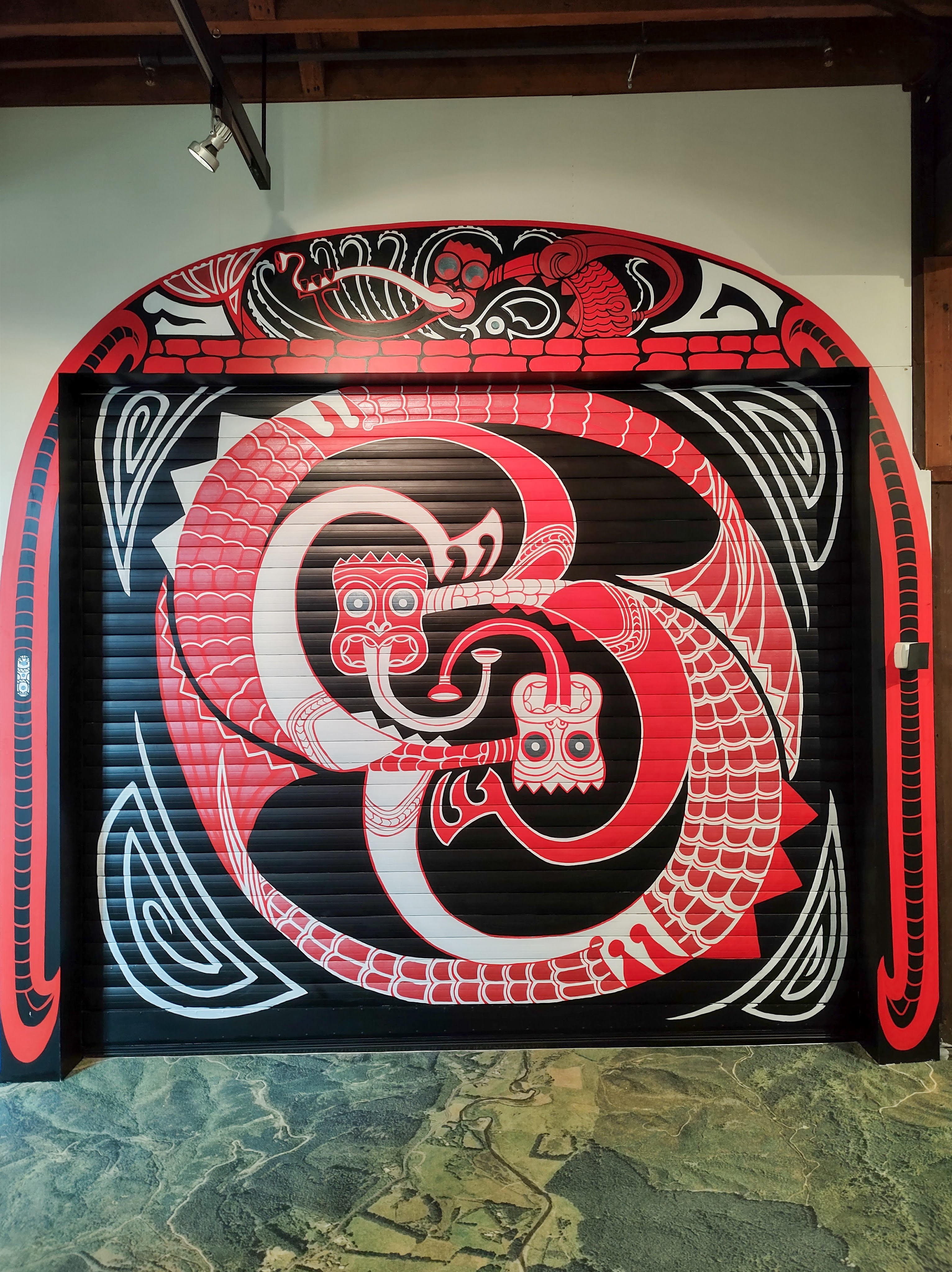
Wētā Workshop Experience
The Lord of the Rings franchise is what made The Wētā Cave internationally famous, but you don’t need to be a Lord of the Rings fan to appreciate this special effects studio. In fact, you might be surprised at how many productions they are involved in. On The Wētā Workshop Experience you get a full tour of the studios, where there are movie artefacts you can hold, interesting models and original body suits to see; masks, miniatures, and plenty of sneak peaks at how they made them. You’re only allowed to take photos in certain areas, and mine are no different, which is even more of a reason to go see for yourself!
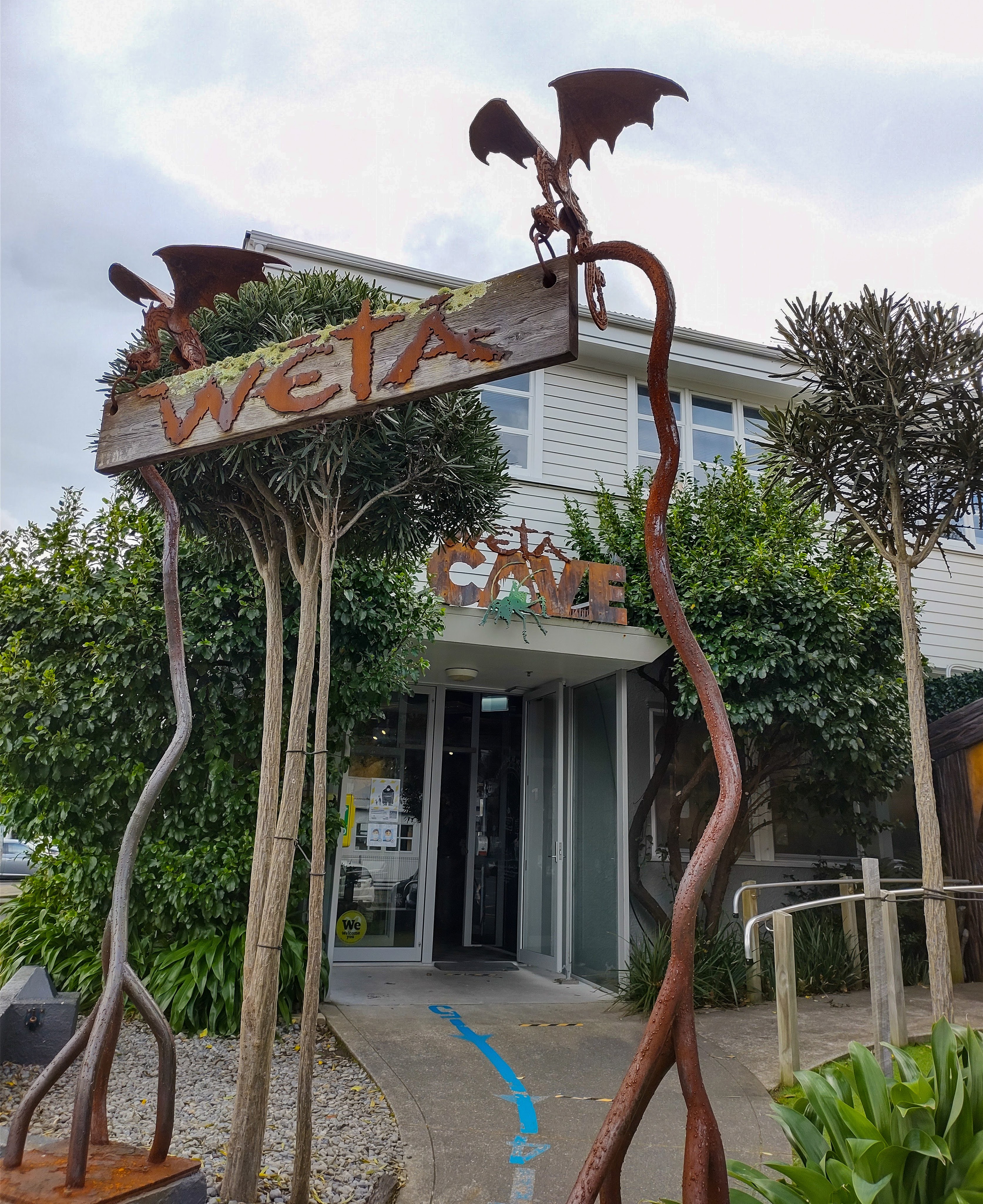
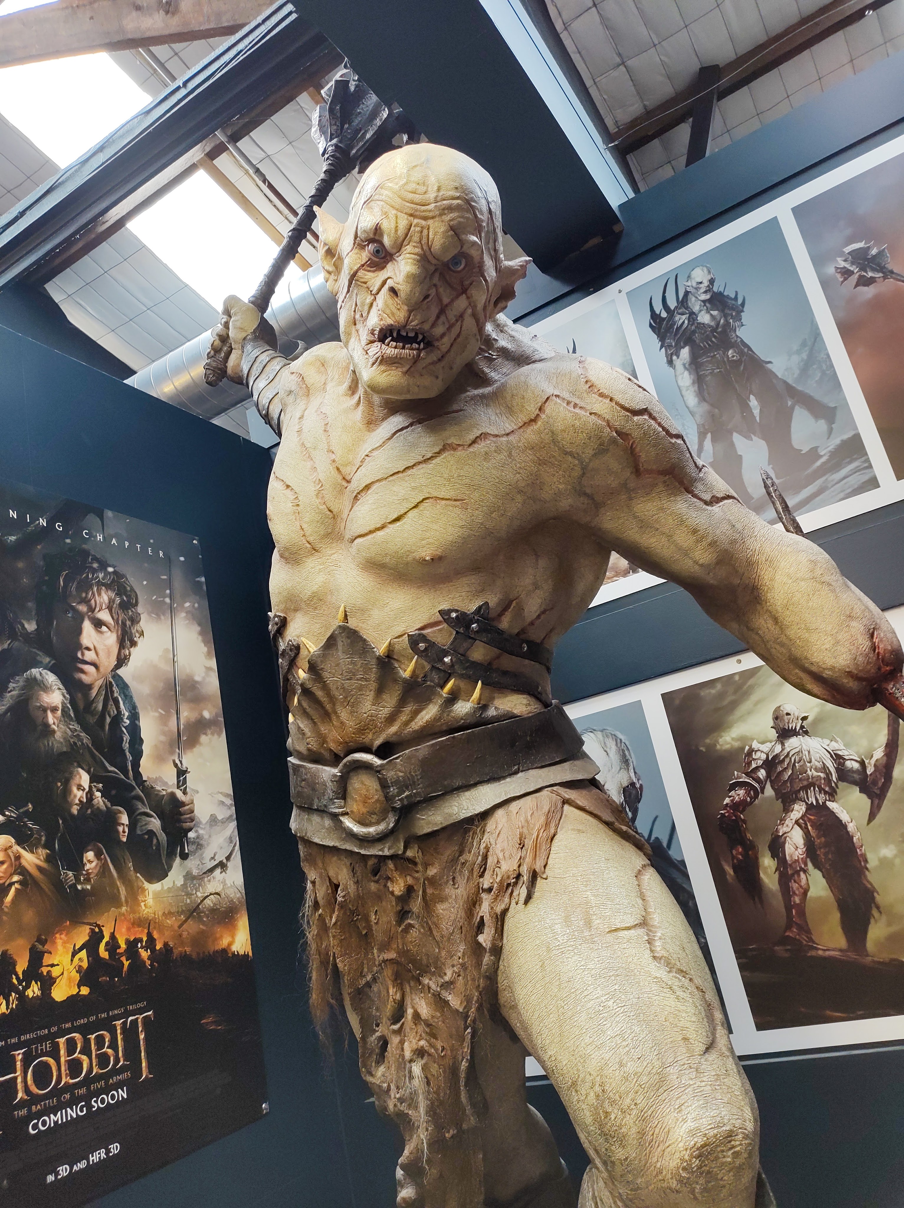
There is also a free mini-museum and gift shop to look around at the entrance to The Wētā Cave, and you can buy tour tickets on the door depending on how busy it is.
Location: Weka Street, Miramar, Wellington
Cost: $50 NZD online, $55 NZD in-store
Time Allowance: 1.5 hours
Free Things To Do
Cuba Street
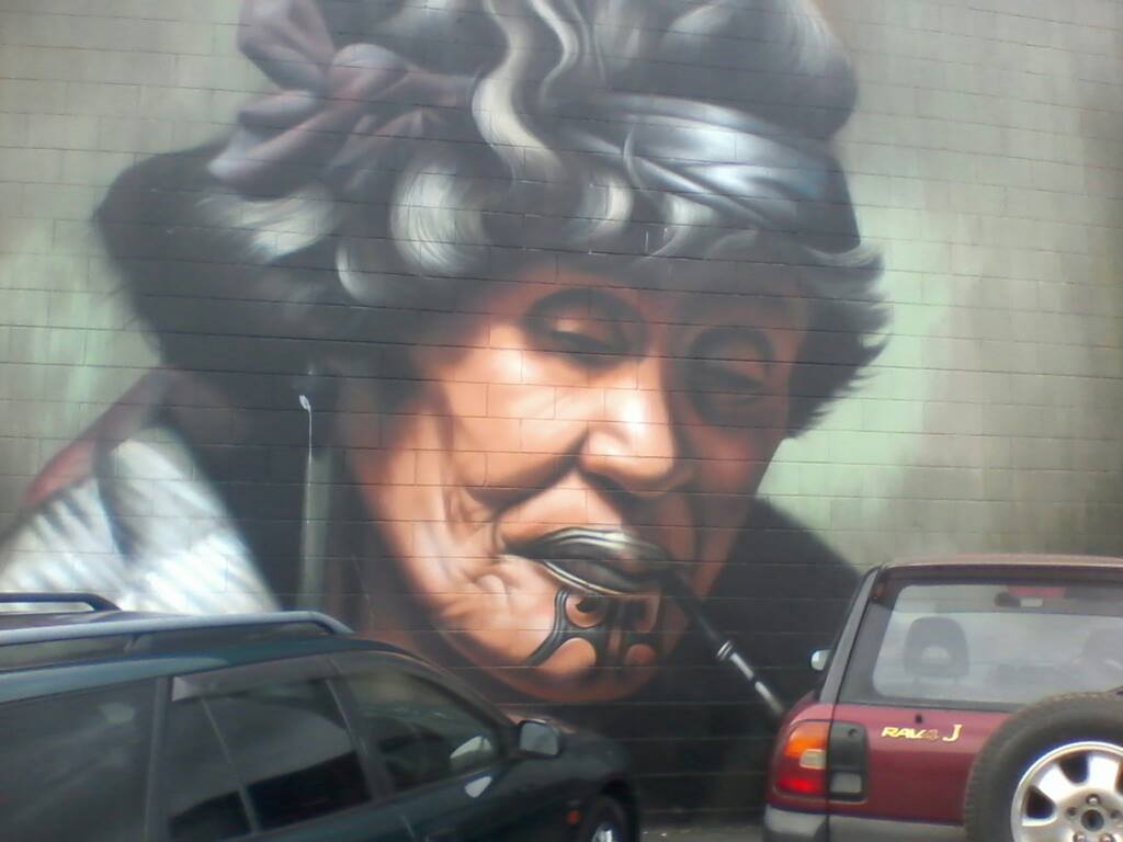
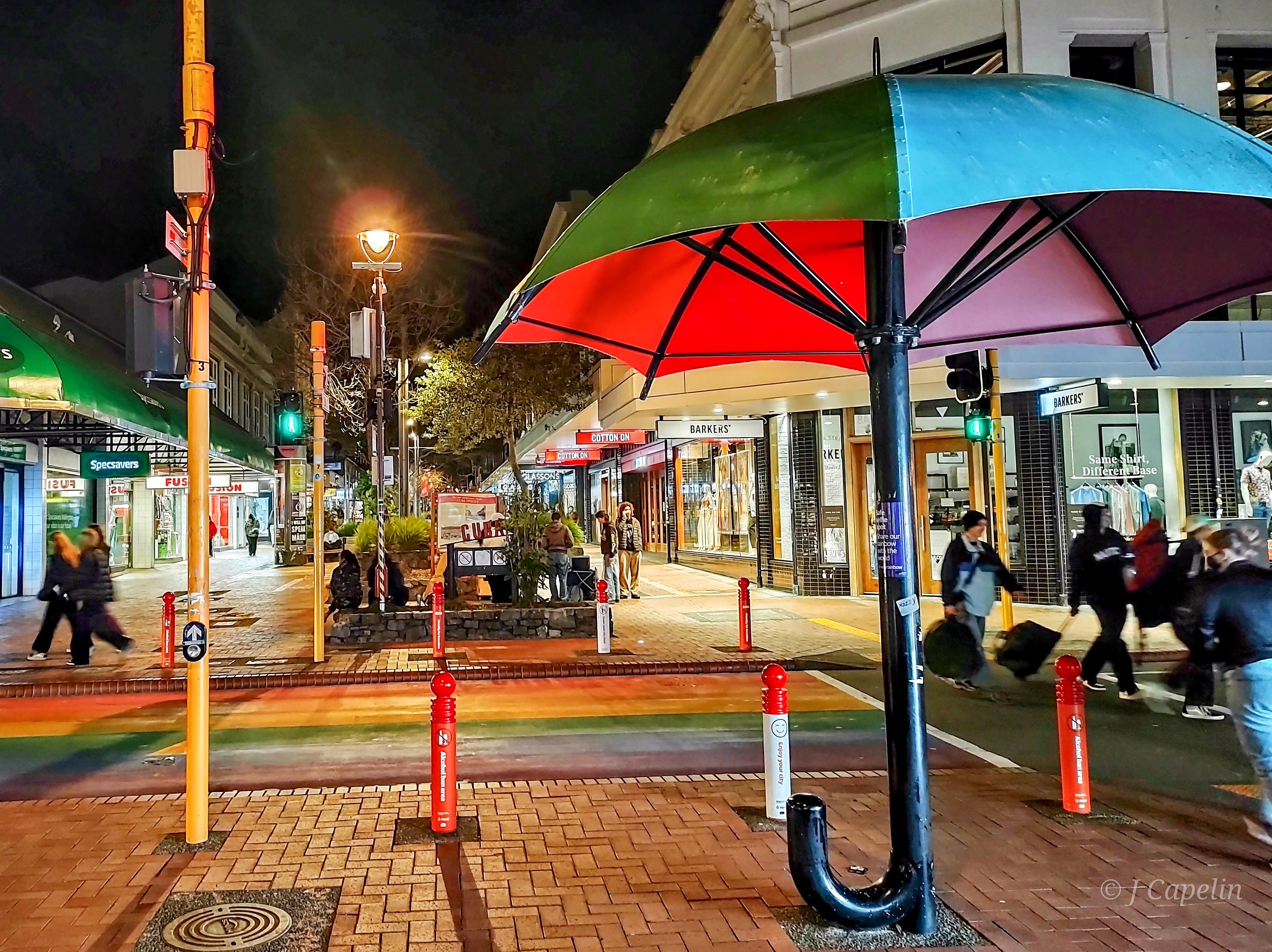
As Wellington’s cultural centre, Cuba Street is a colourful pallet of diversity, lined with bars, restaurants, cafés, fashion & art, with galleries and music venues, and space for buskers and street artists. The Precinct stretches along to Dixon Street and round to Victoria Street, filling the whole block with arts. While I was there I spotted one of Wellington’s well known and beloved street artists at work; a longboarding, saxophone and flute playing Tree Man! There is plenty in the Cuba Precinct to spend money on, but it’s free to look first!
Time Allowance: 30 mins – 2 hours
Location: Cuba Street, Te Aro, Wellington
Wellington Botanic Gardens
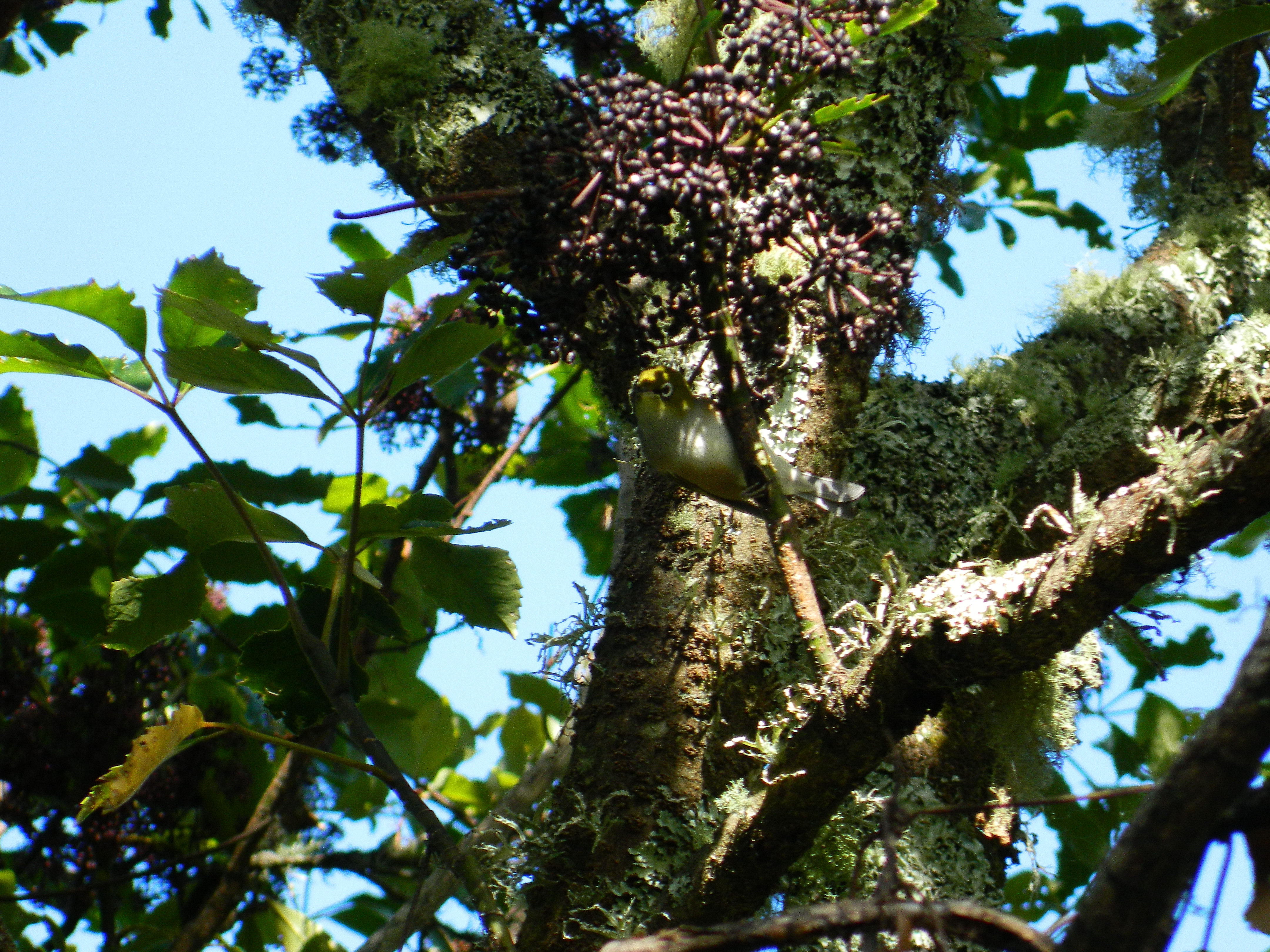
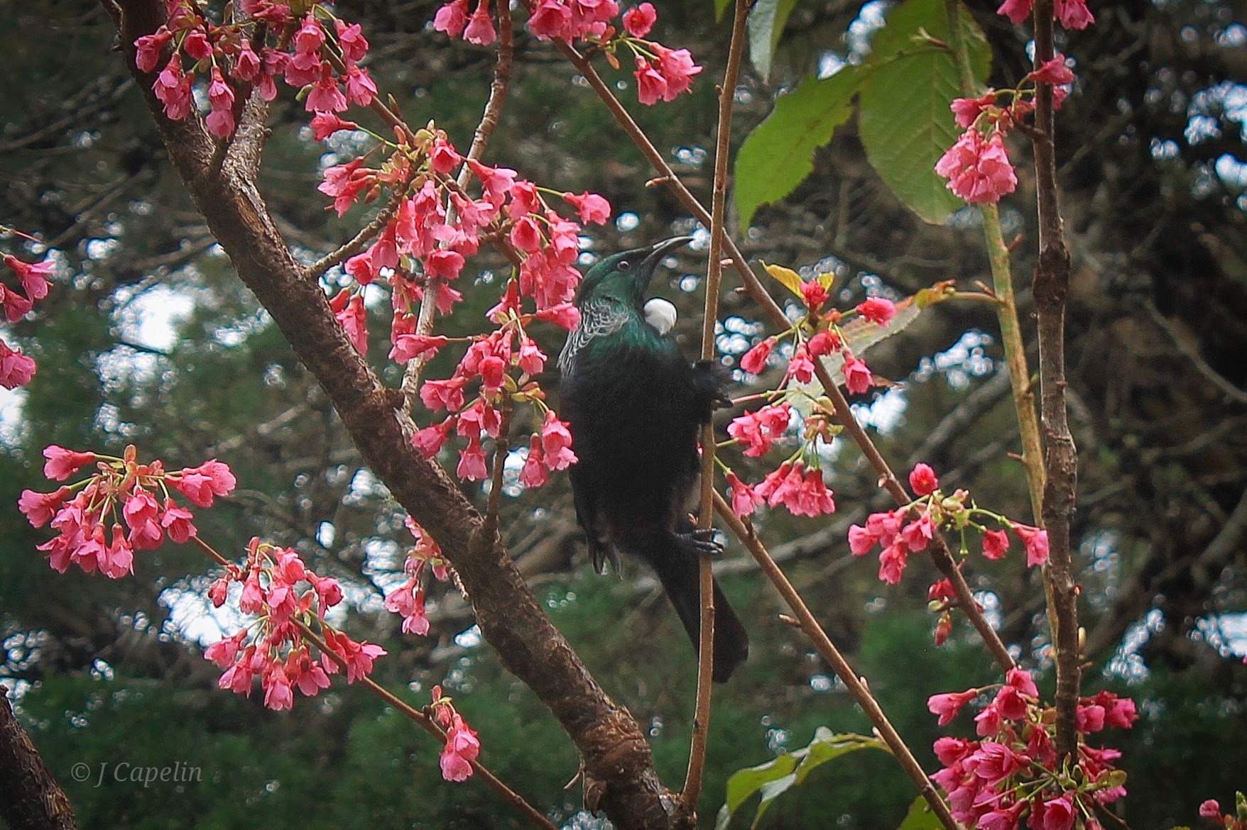
At the top of the Cable Car at Kelburn is the Wellington Botanic Gardens. With stunning views over the city and harbour, there are plenty of paved footpaths leading through an array of flora, and open spaces for picnics. I was lucky enough to see the early blossoms of spring, which attracted native tui to feed on them. Sometimes the squawks of the kākā can be heard from the canopies, and if you’re really lucky you might see them here.
Time Allowance: 1 – 2 hours
Location: Glenmore Street, Kelburn, Wellington
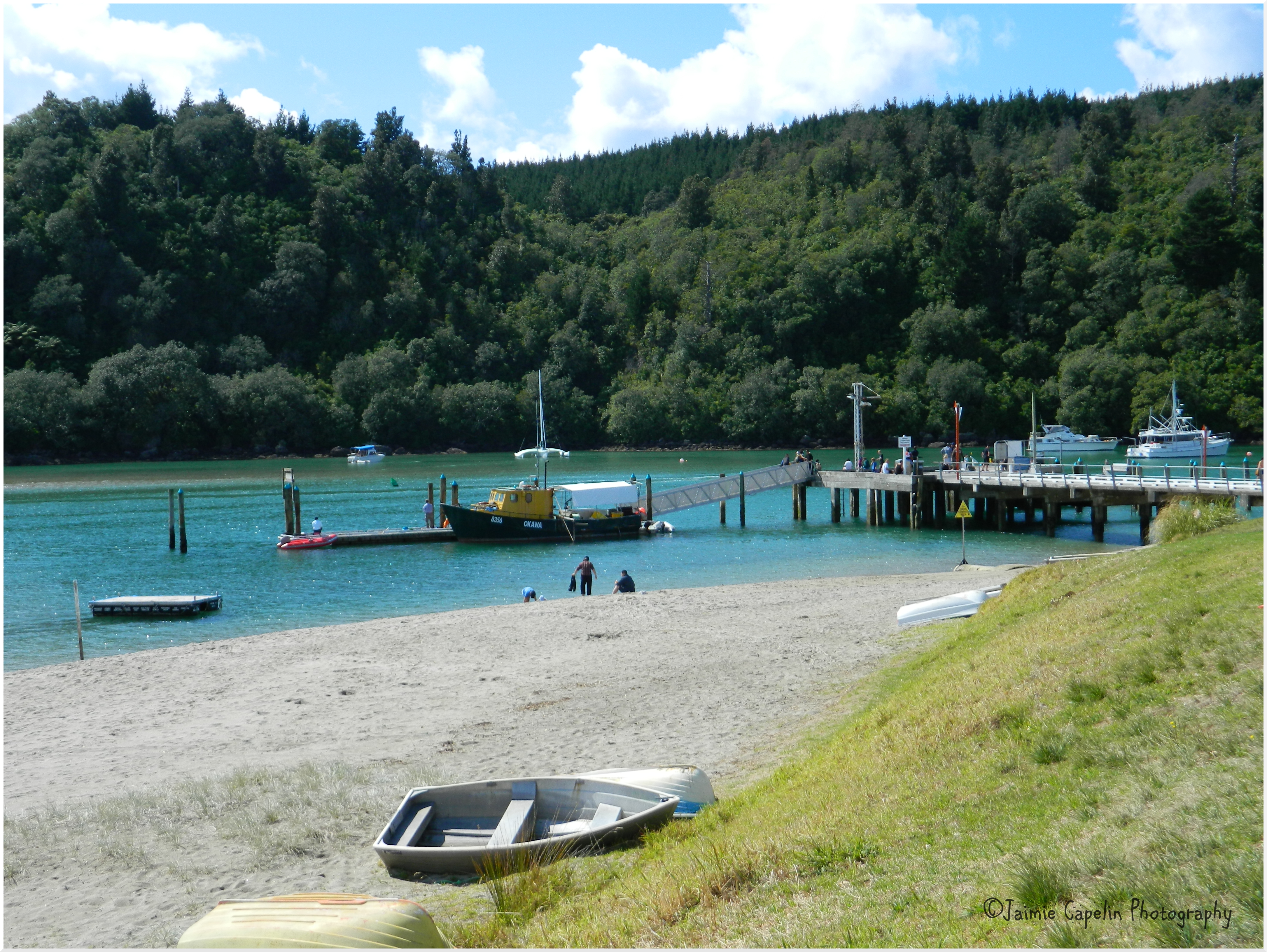
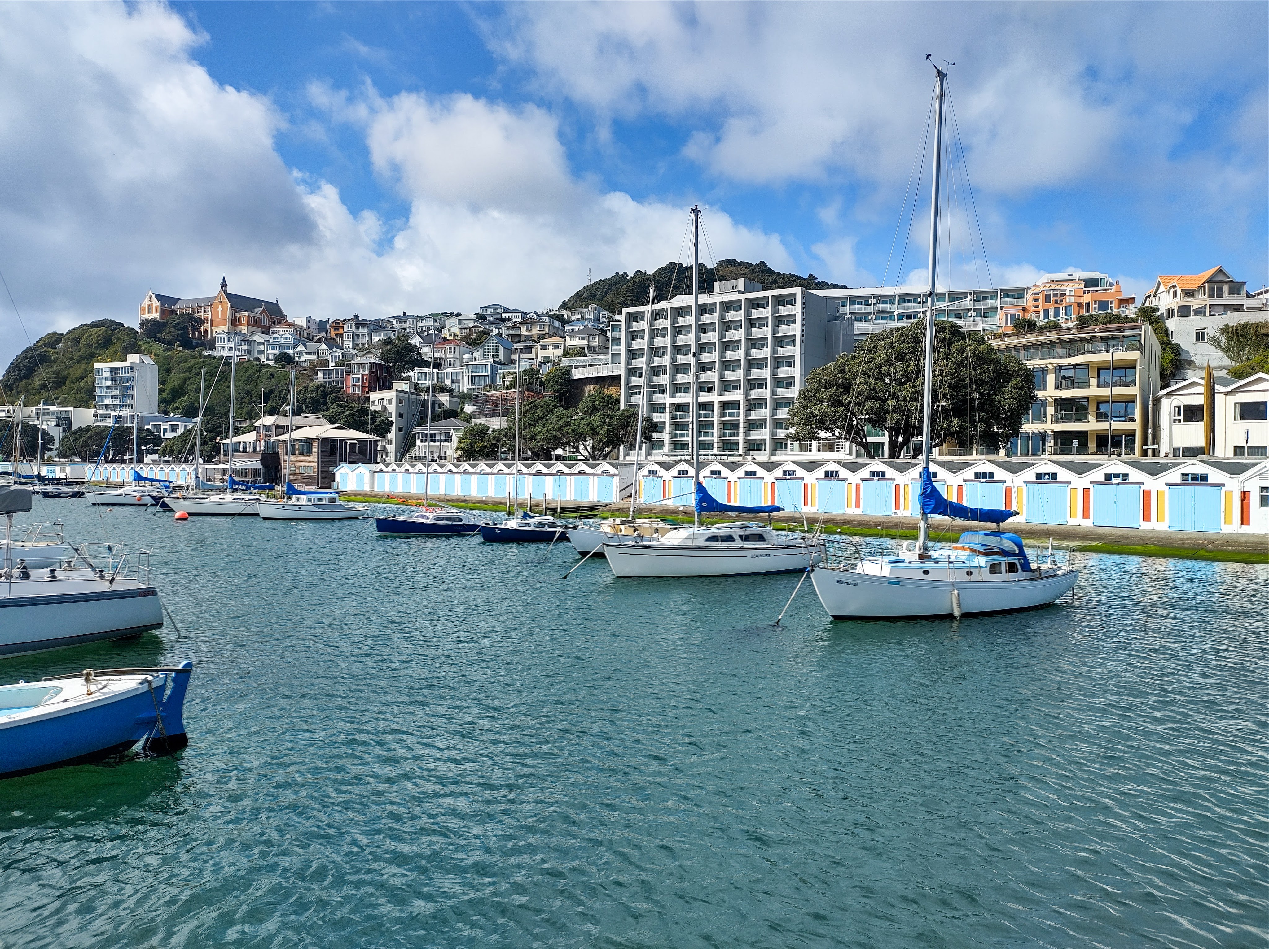
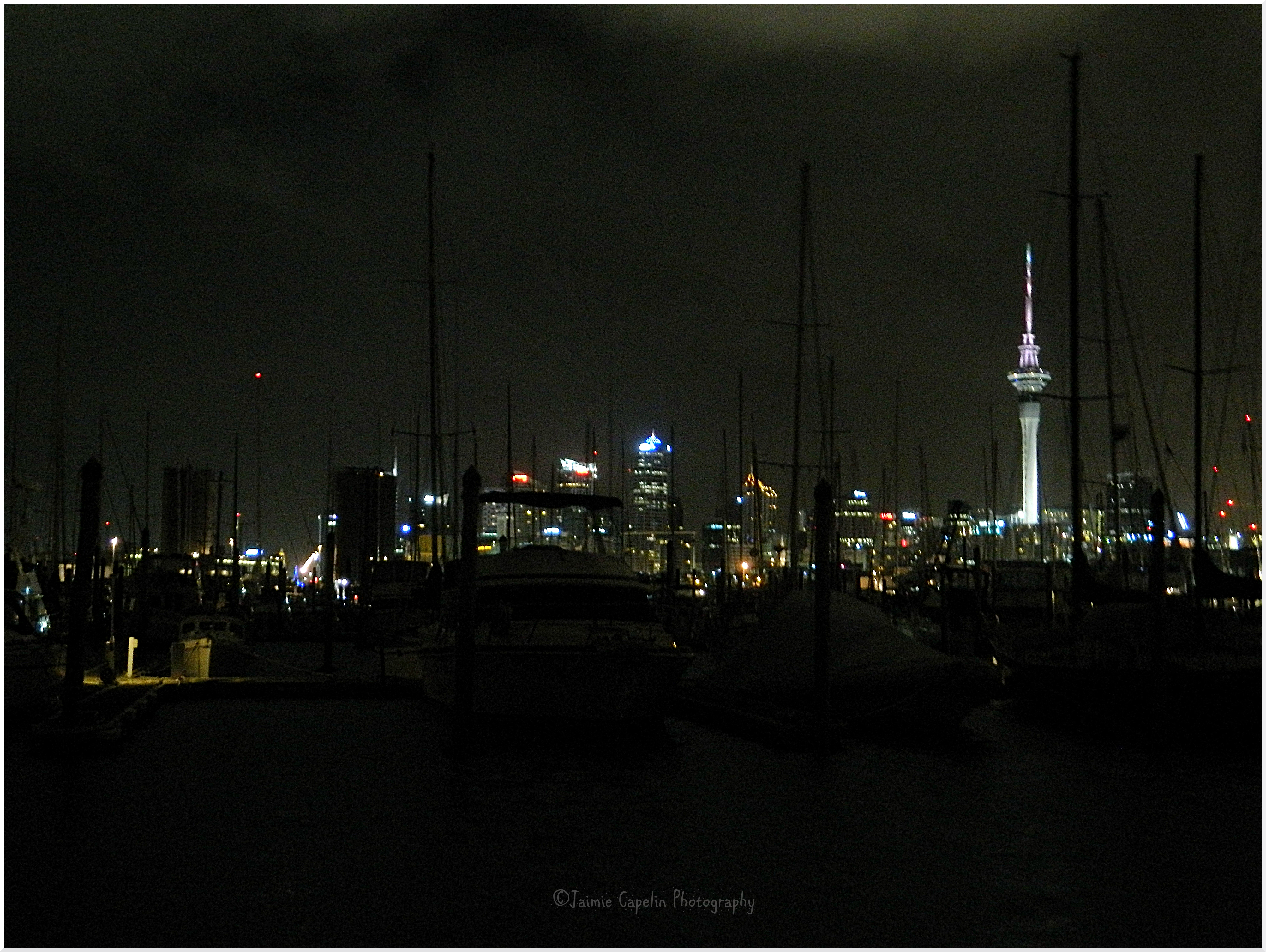
Waterfront Walk – Oriental Bay
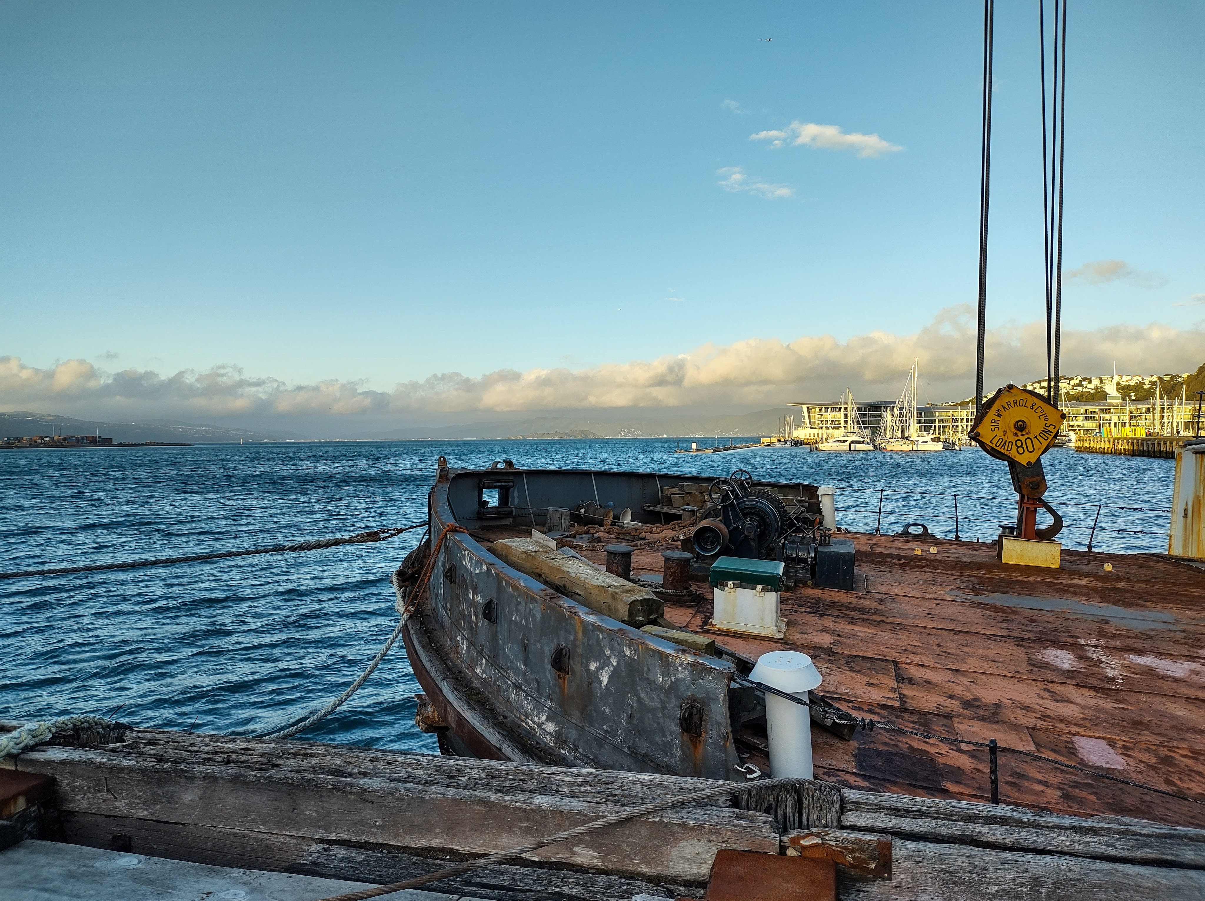
Wellington’s waterfront is a playground of boardwalks, cobbled squares, pontoons, sculptures and heritage landmarks, not to mention the modern markets and arts & crafts that pop up at certain times. We began our walk at Queen’s Wharf, which is easily accessible from the city centre, walking under the huge shade-sails towards the choppy sea. We headed east along the waterfront, spotting the S.S Hikitia – an original floating steam crane built in Scotland in the early 1920s.
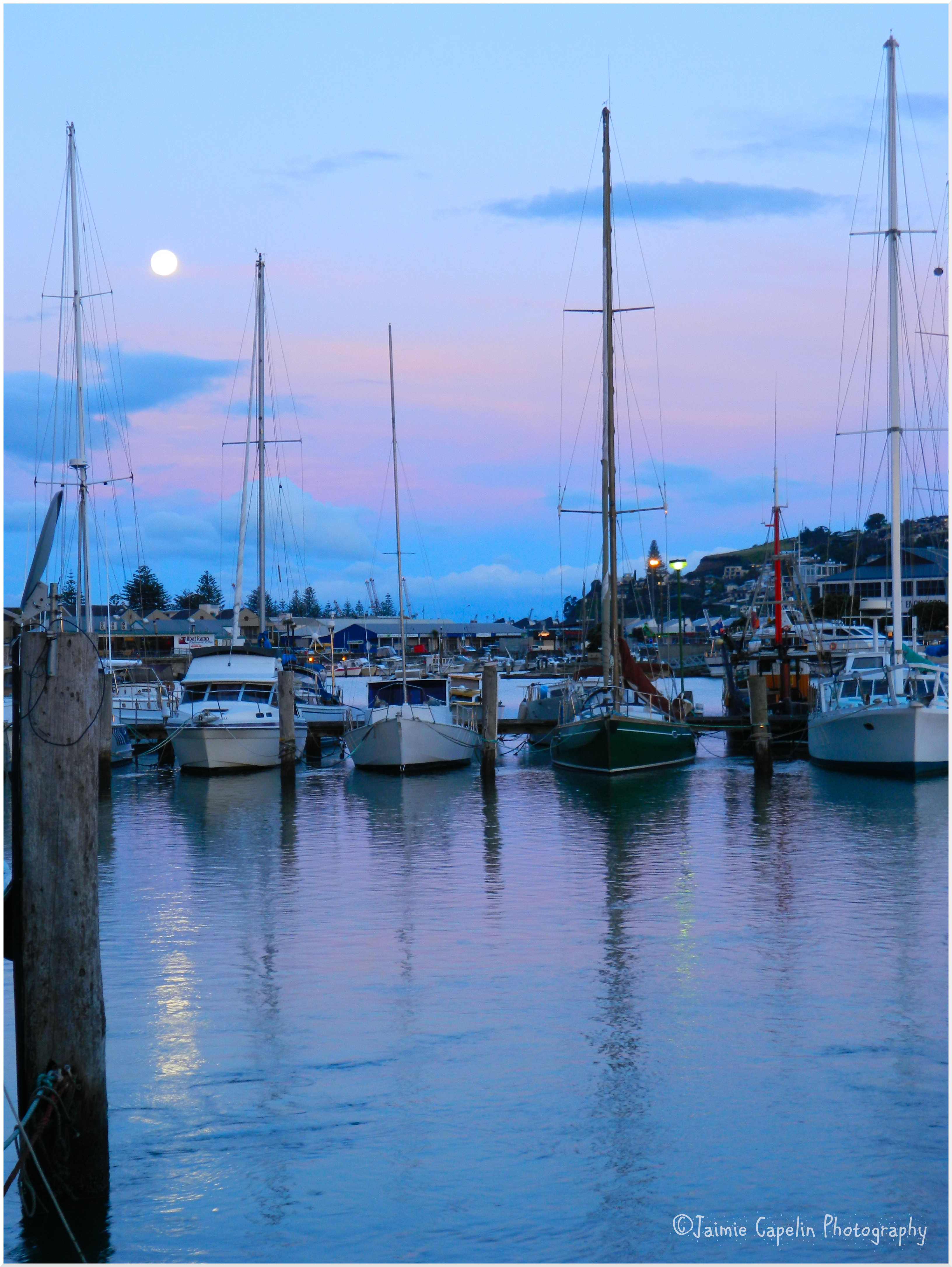
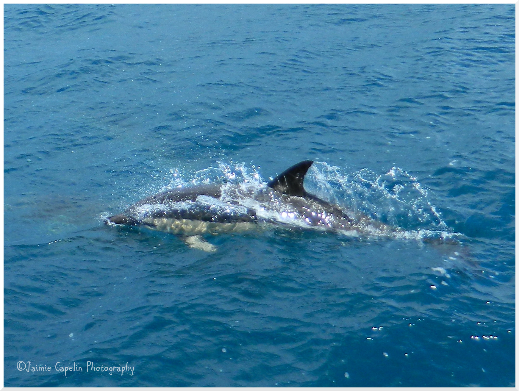
As we rounded the corner by Te Papa Museum we saw the giant origami sculptures by local artist, Ben Pearce; part of a public art exhibit that renews at least every two years. We passed many more statues along the way, including ‘Solace in the Wind’ (the naked man) and the 3D standing ‘Wellington.’ Eventually we could see the iconic row of boatsheds at Clyde Quay, on a classic Wellington backdrop of hillside houses, and we continued around to Oriental Bay – a pretty little suburban beach where dolphins, orca and stingray can be sighted.
Time Allowance: 30 mins one way
Location: Start – Queen’s Wharf, Wellington Central Finish – Oriental Bay, Wellington
Wellington Museum
Not to be confused with Te Papa Tongawera – The Museum of New Zealand, Wellington Museum presents a more local story. Located in The Bond Store – a heritage cargo warehouse from the late 1800s, it is reminiscent of its shipping days, with dark wooden beams, barrels and hoists and muslin sacks full of goods. This museum tells the stories of how Wellington came to be, along with immersive & personal tales of the sea, and an attic full of interesting collections from over the years.
Time Allowance: 1 – 2 hours
Location: Jervois Quay, Wellington Central
Te Papa Tongawera – Museum of New Zealand
We spent a good hour exploring the natural & cultural history of Aotearoa in Te Papa Museum, with interactive pieces including an earthquake simulator. With plenty to keep kids busy (and big kids like us,) this truly is a memorable museum.
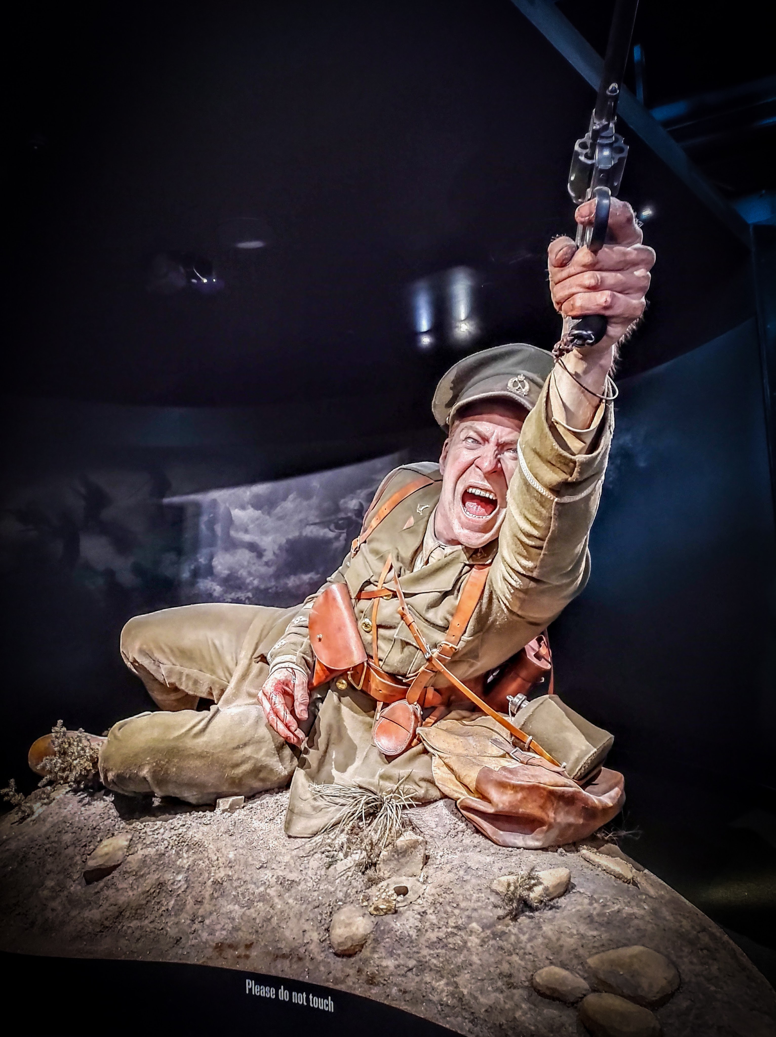
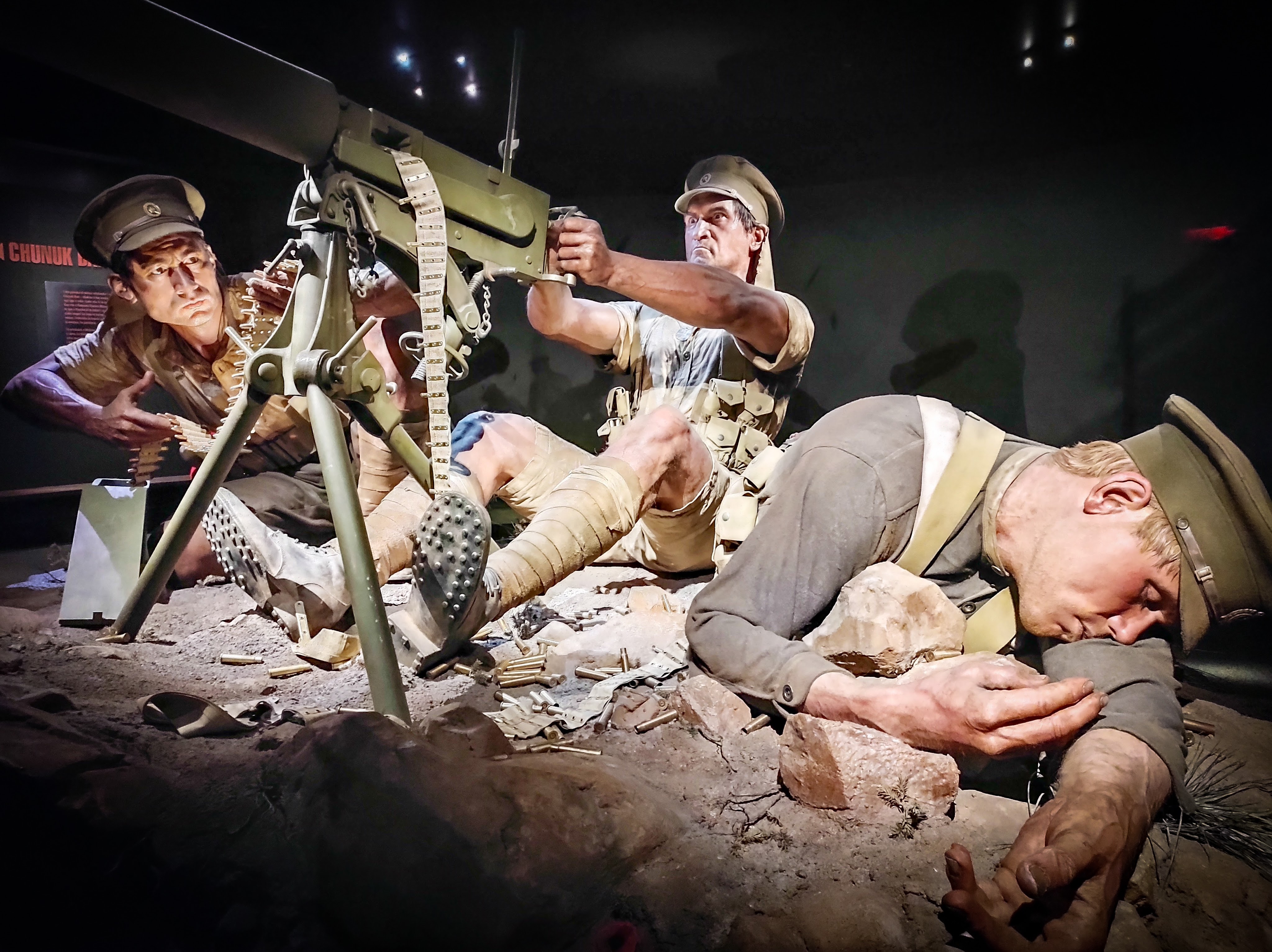
First opening in April 2015, “Gallipoli – The Scale of Our War” was only set to be a short term exhibition, but it proved so popular that the museum kept extending its dates; they are currently extended to April 2025. The exhibition is free, and takes you on a heart-wrenching journey through World War II Gallipoli, through the eyes of 8 real individuals who found themselves on the front line. The incredible larger-than-life sculptures were crafted by The Wētā Workshop artists and altogether this is a very sensory experience, with the realistic sound effects of war, true artefacts, textures, smells and visuals. (Parental guidance is recommended for this exhibition. It is wheelchair accessible, audio description is available, and sensory accessible times are available out of hours by booking.)
Time Allowance: 1 – 2 hours
Location: Cable Street, Te Aro, Wellington
Cafés & Dining
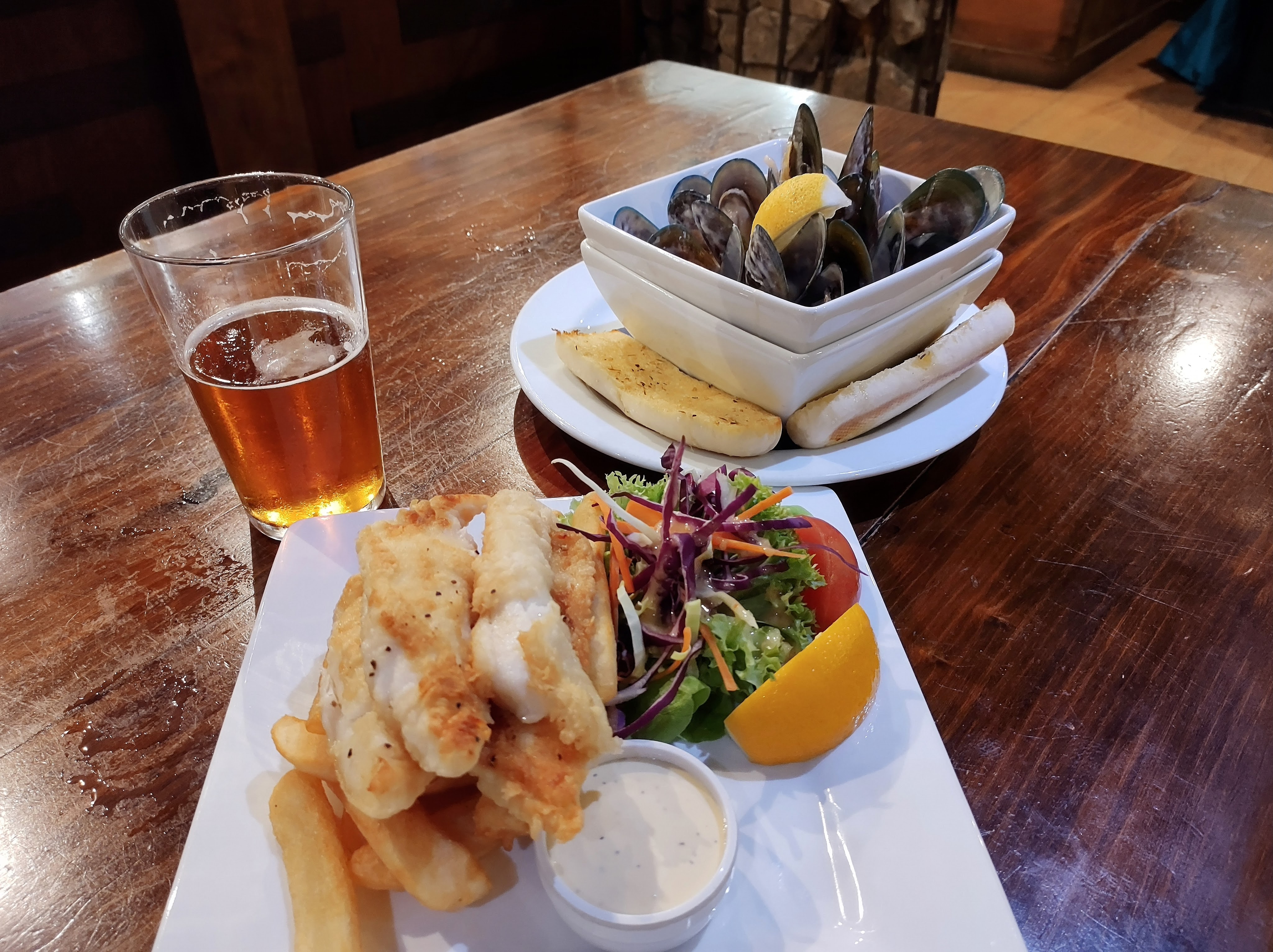
Buenos Aires Café
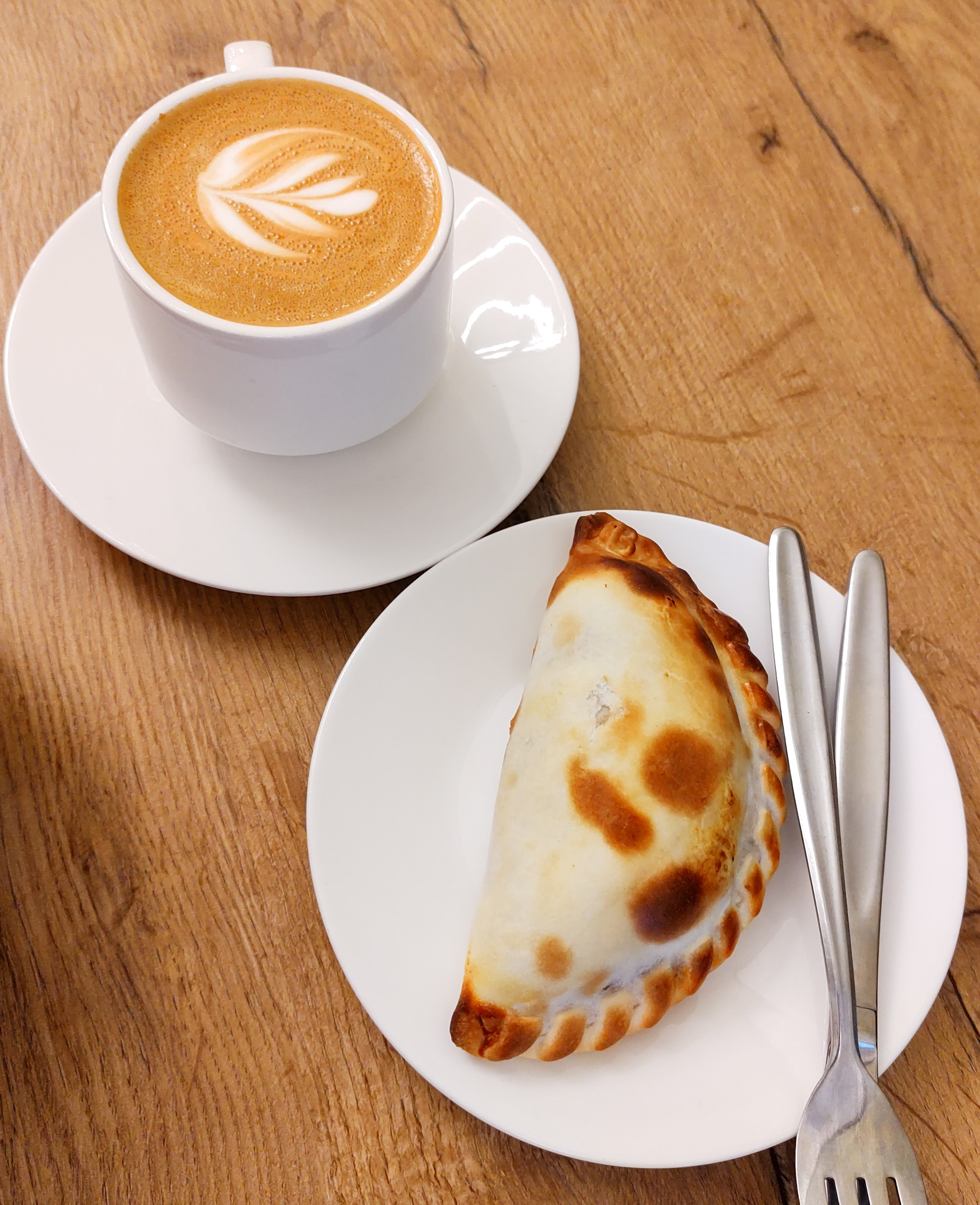
A discovery we made in Wellington was there are lots of authentic South American delicacies around the city. We stopped in this tiny Argentinian café for a delectable, house made Empanada and one of the best flat whites we had in Wellington.
Location: Grey Street, Wellington Central
Gemini Café & Eatery
This little café served up flavoursome Asian inspired brunch, and their signature iced coffees with teddy-shaped espresso ice cubes were a really cute addition to the experience.
Location: Tory Street, Te Aro, Wellington
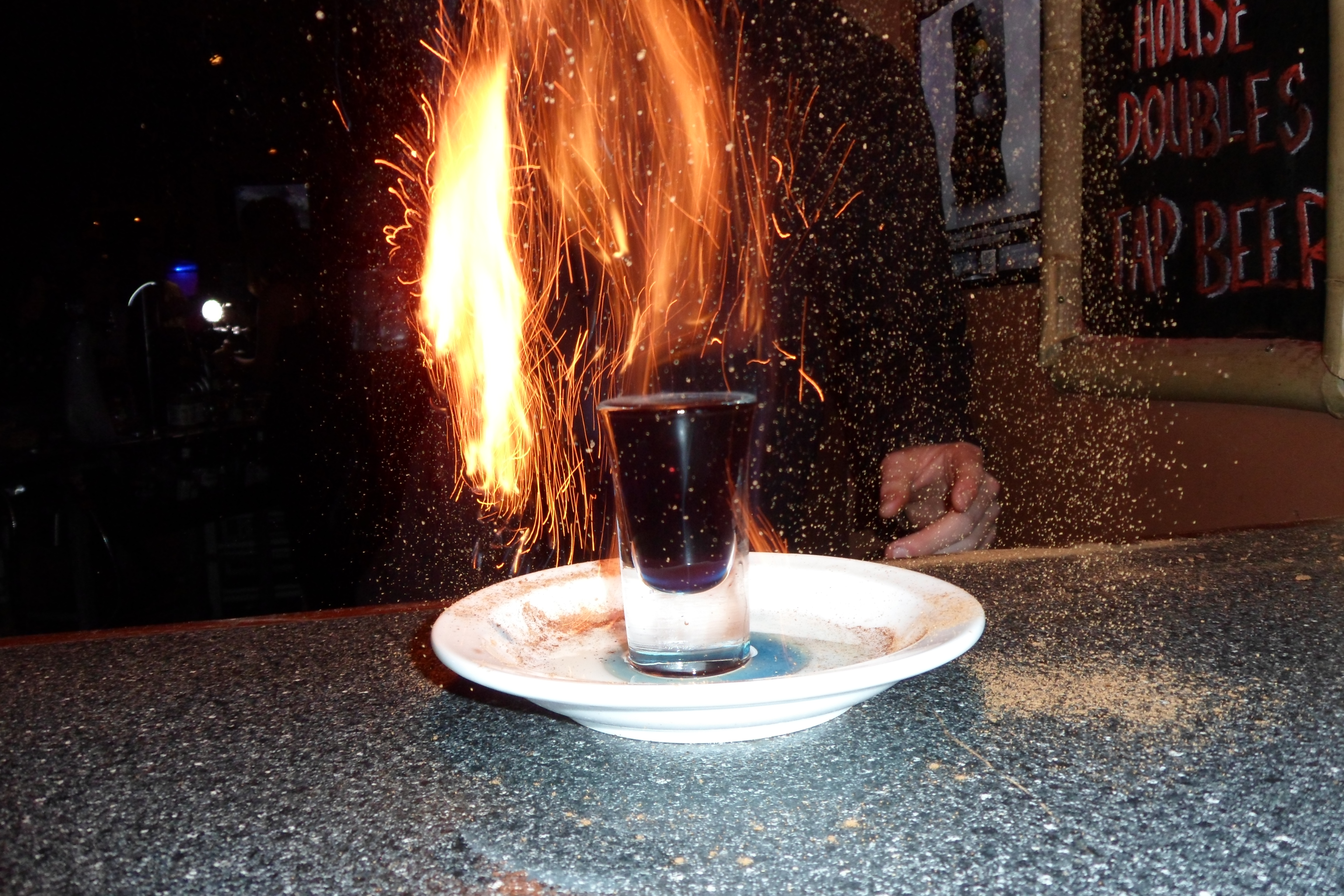
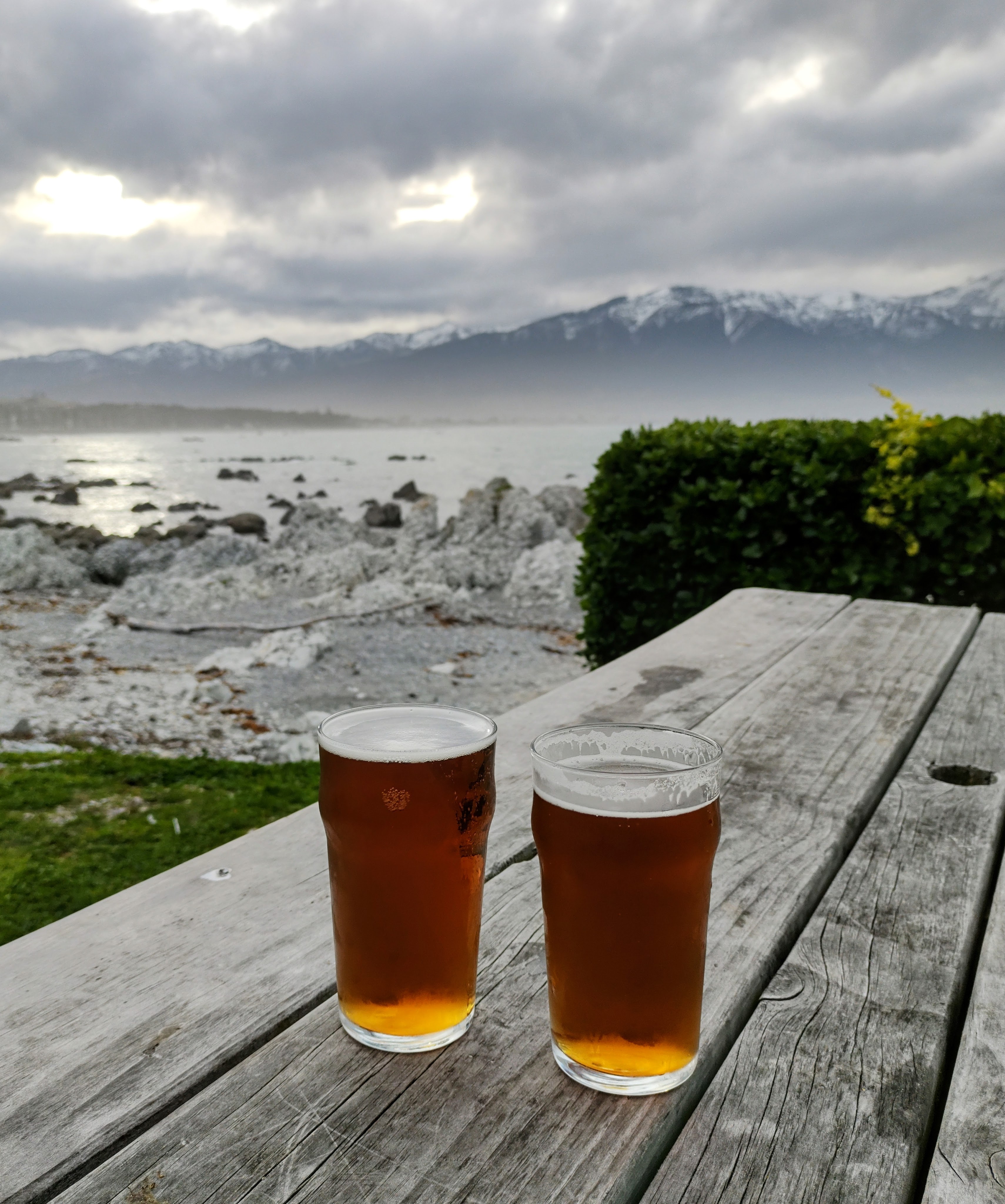
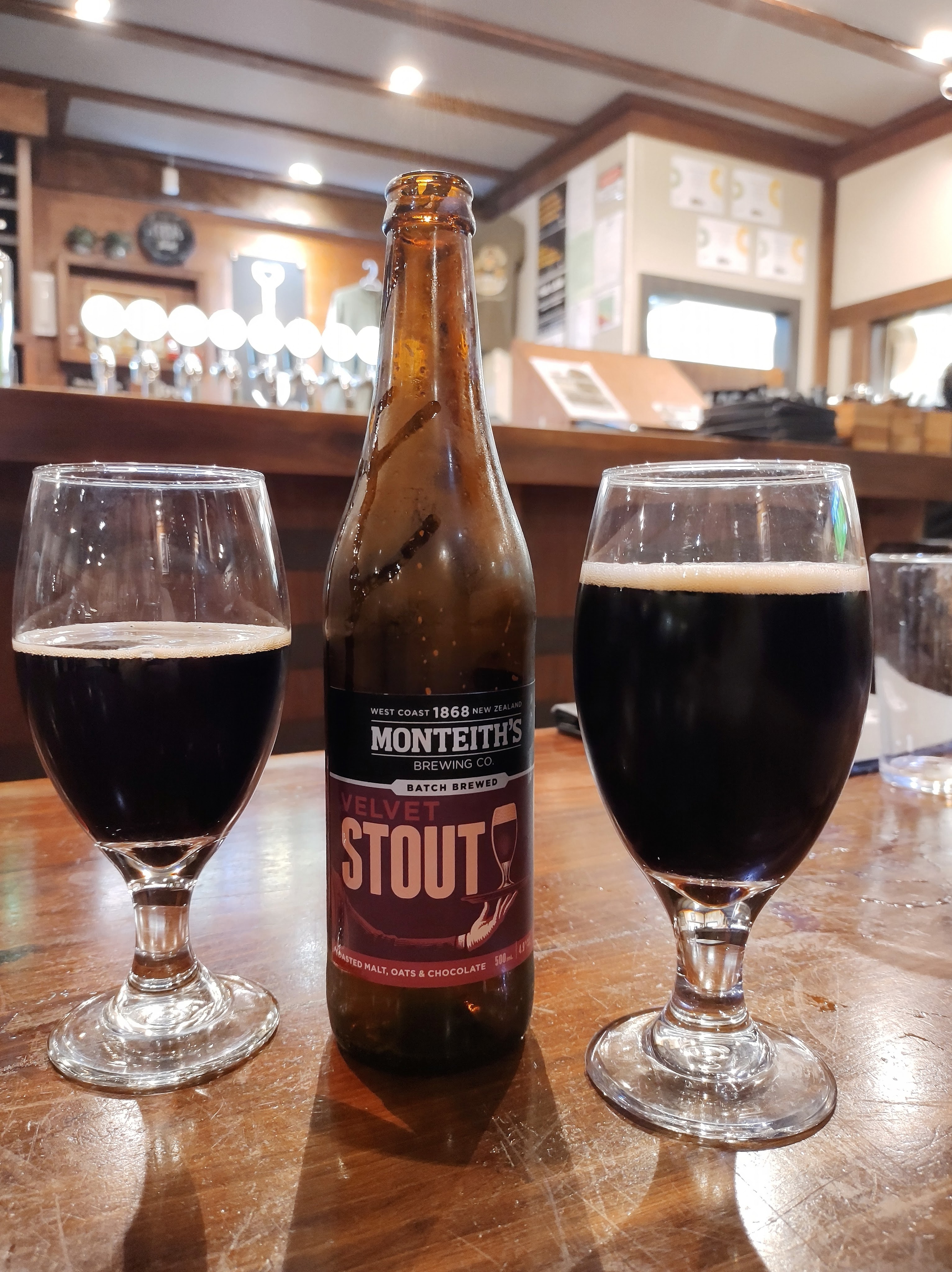
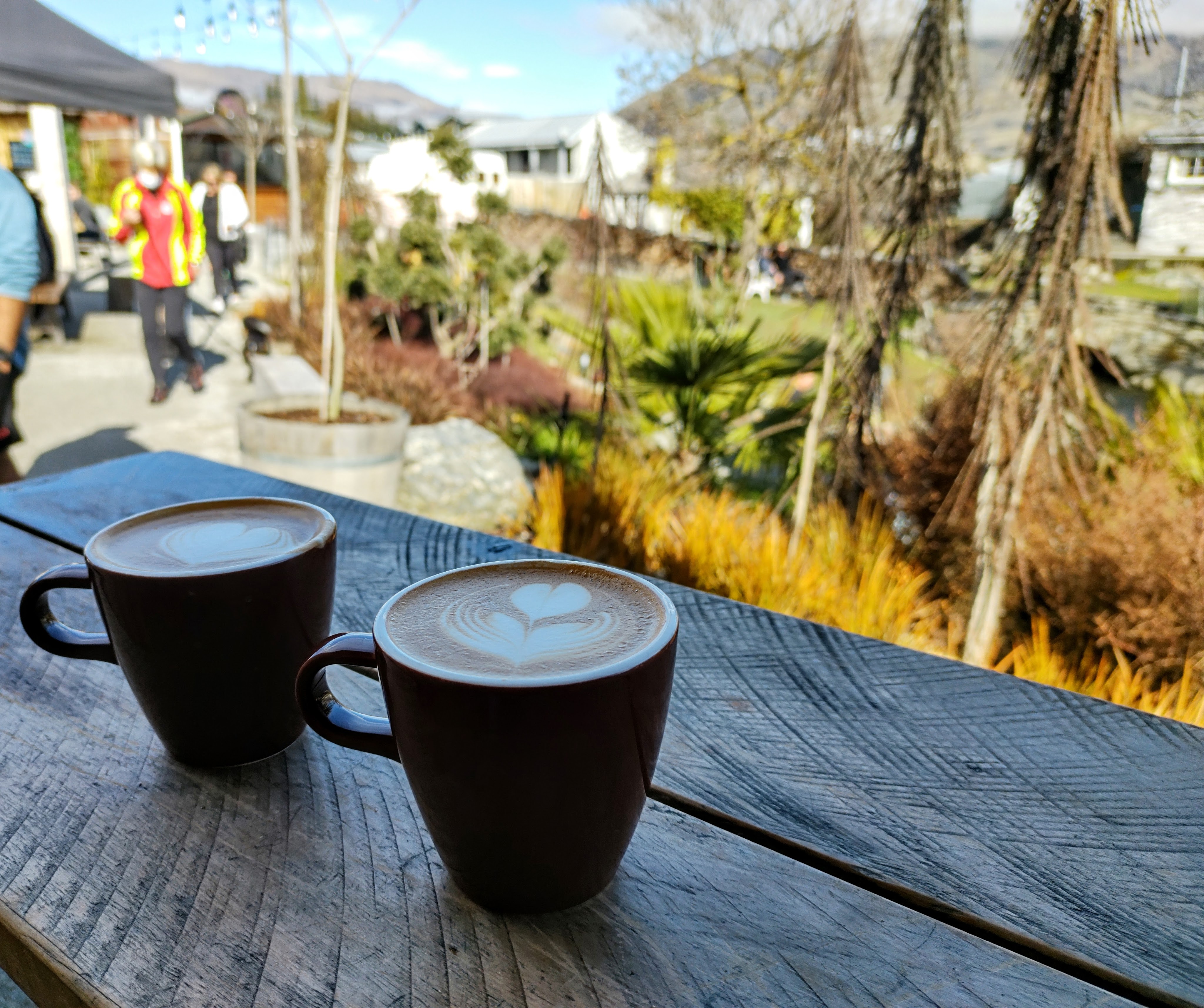
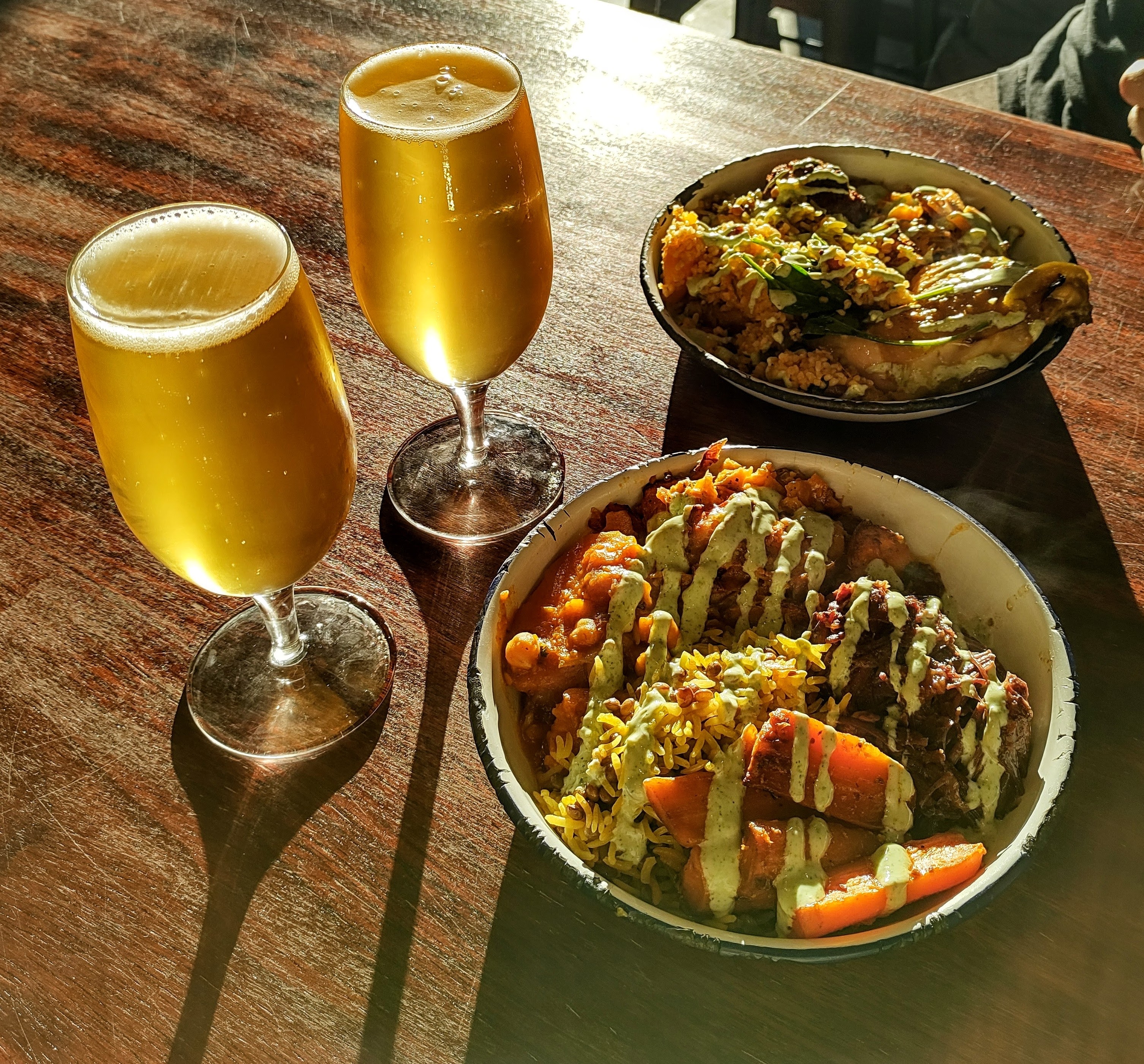
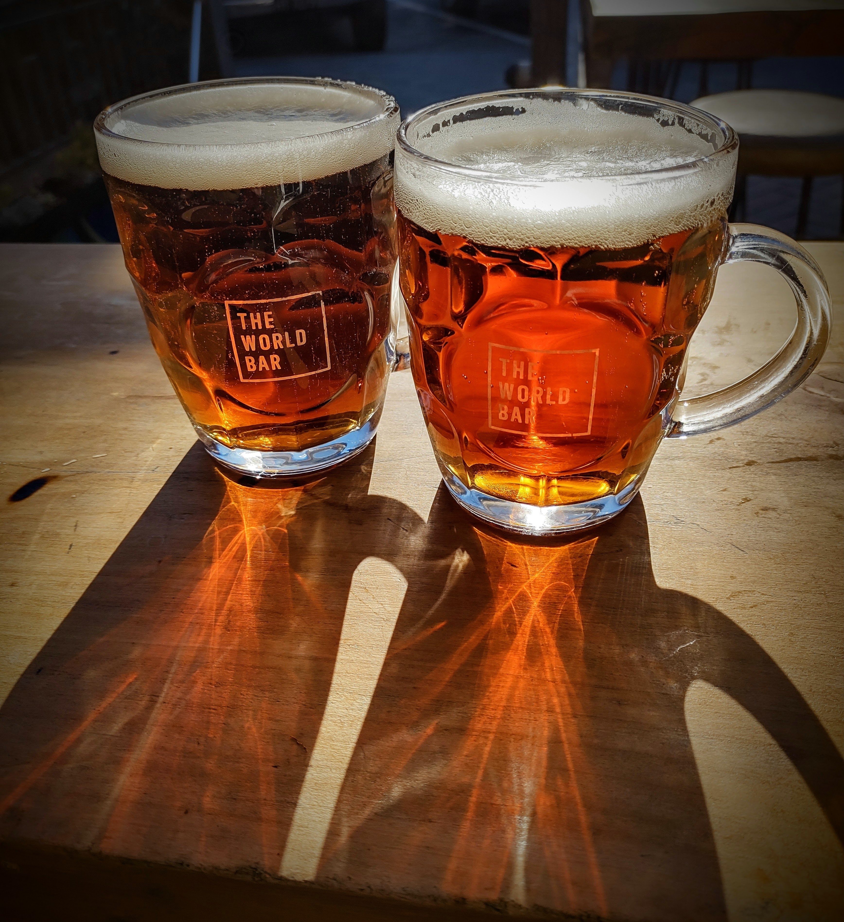
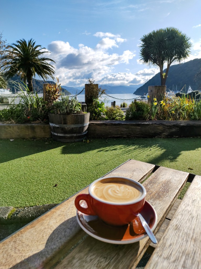
The Hangar
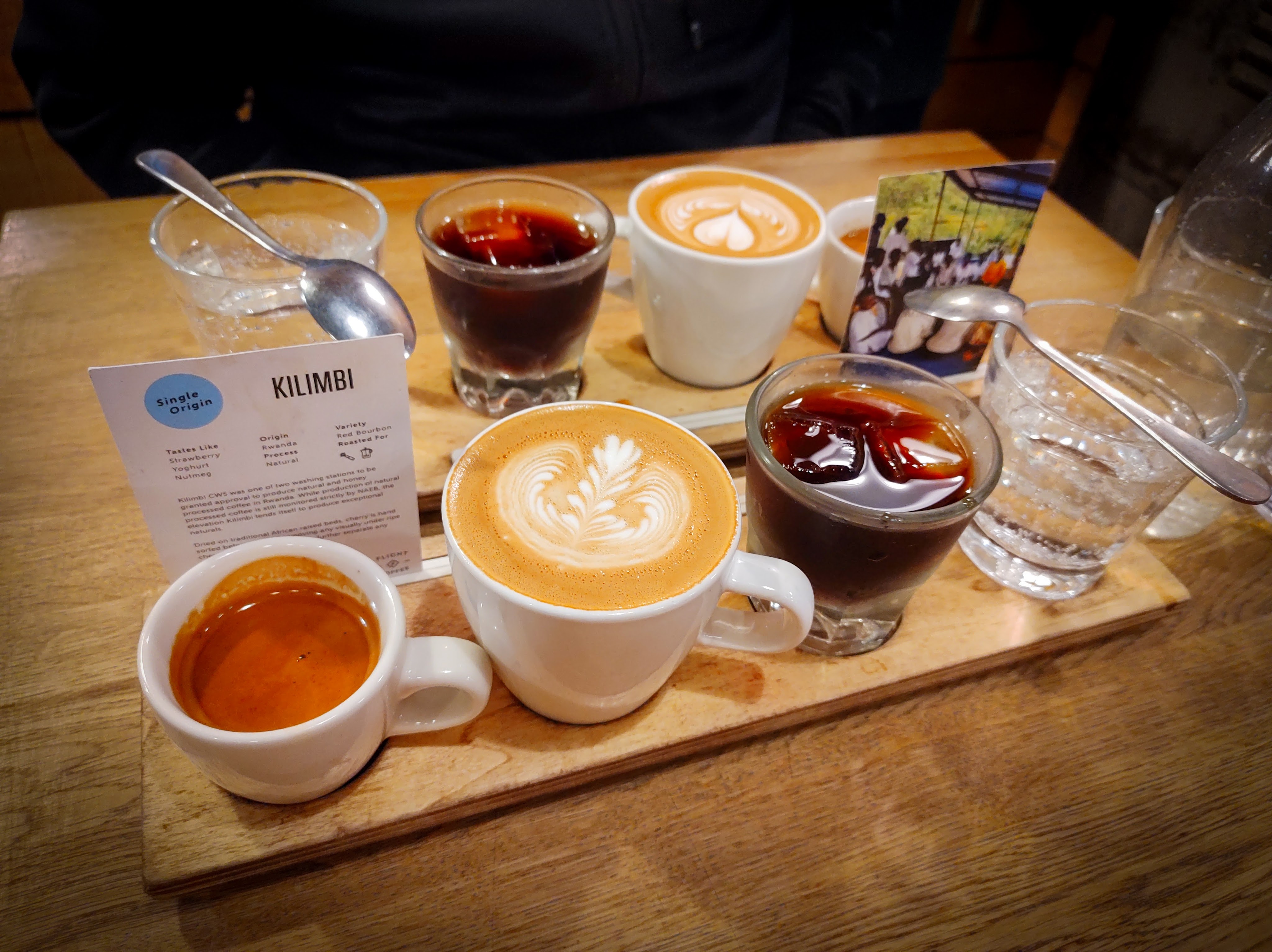
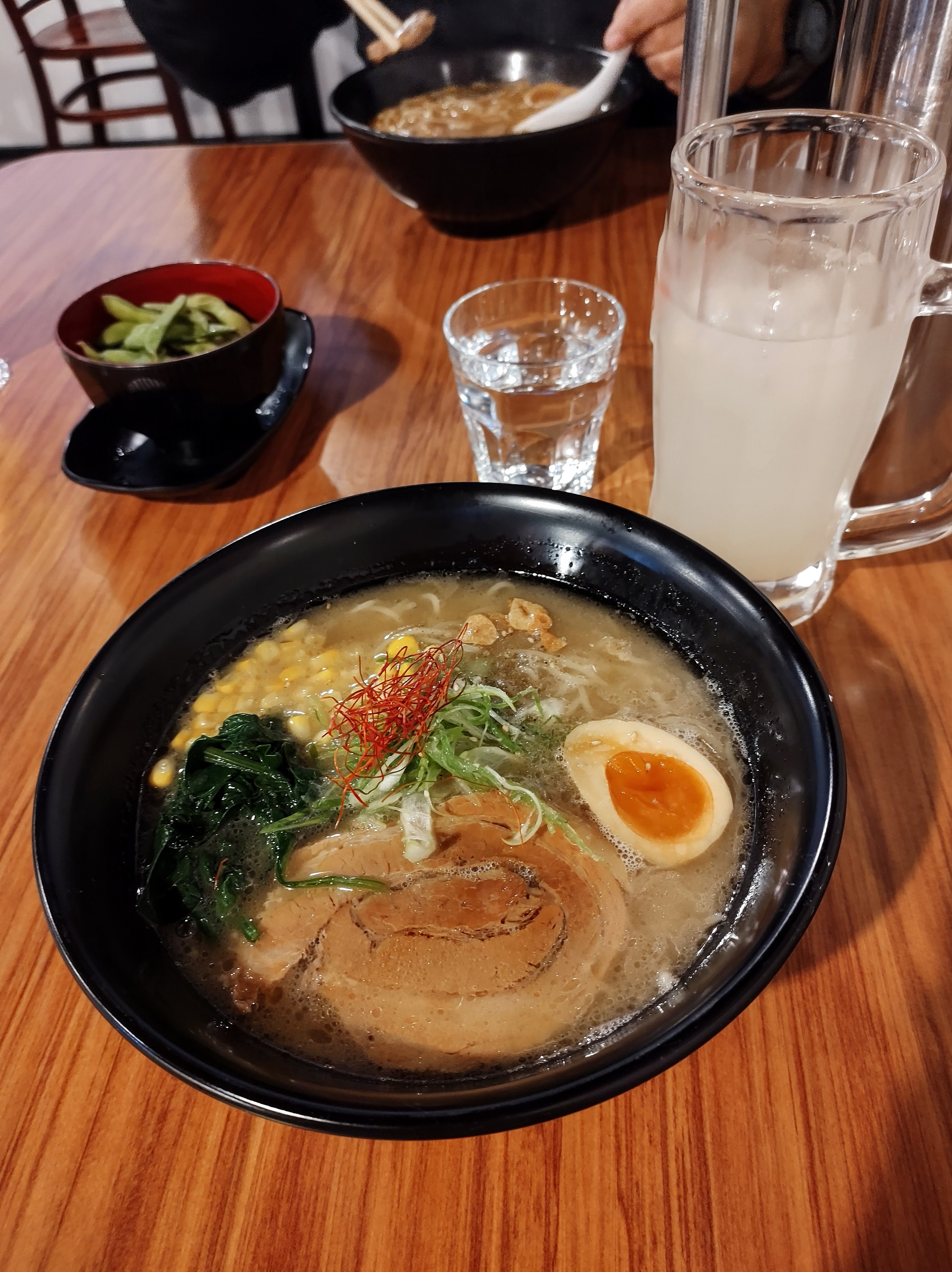
For those who love coffee, The Hangar uses house roasted coffee and, as photographed, they do flights! Not to mention their seasonal menu, which is worldly and creatively homely – for instance, we had a roast beef eggs benedict served on a Yorkshire pudding!
Location: Dixon Street, Te Aro, Wellington
Mexico, Wellington
This is your classic American style Mexican restaurant, with really tasty favourites on the menu and pitchers of margaritas for everyone. The venue is rustic with gothic yet colourful Day of the Dead style décor, and long beer hall style tables.
Location: Dixon Street, Te Aro, Wellington
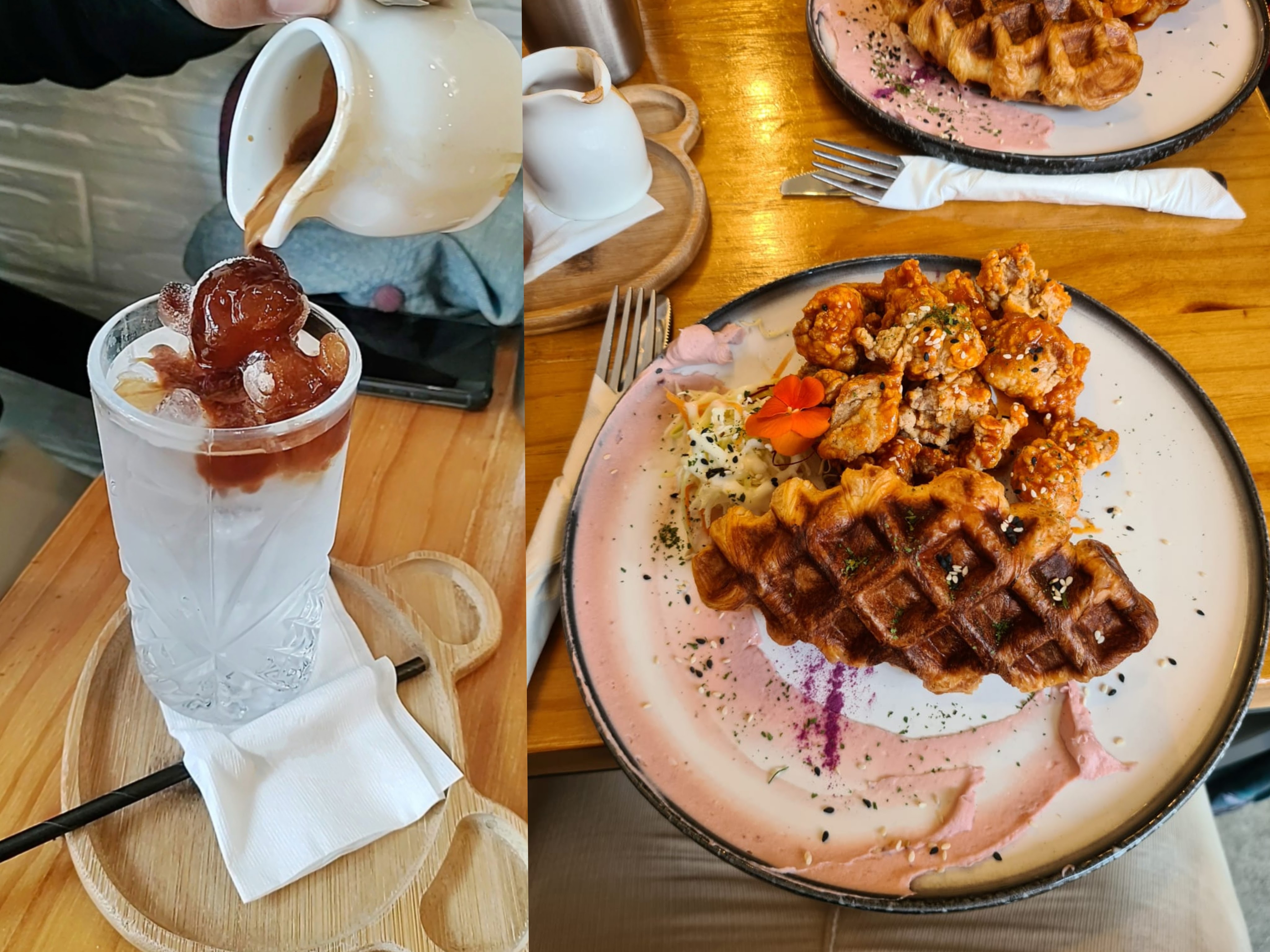
Puro Chile
At the window end of an upstairs food court, this family run café / diner served delicious classics from Chile. We had an authentic Chilean Empanada, and a Churrasco Italiano sandwich; slow cooked beef with avocado, tomato and mayonnaise. We couldn’t finish without an Alfajor, the signature shortbread biscuit with Dulce de Leche centre.
Location: Willis Street, Te Aro, Wellington
Craft Pubs & Bars
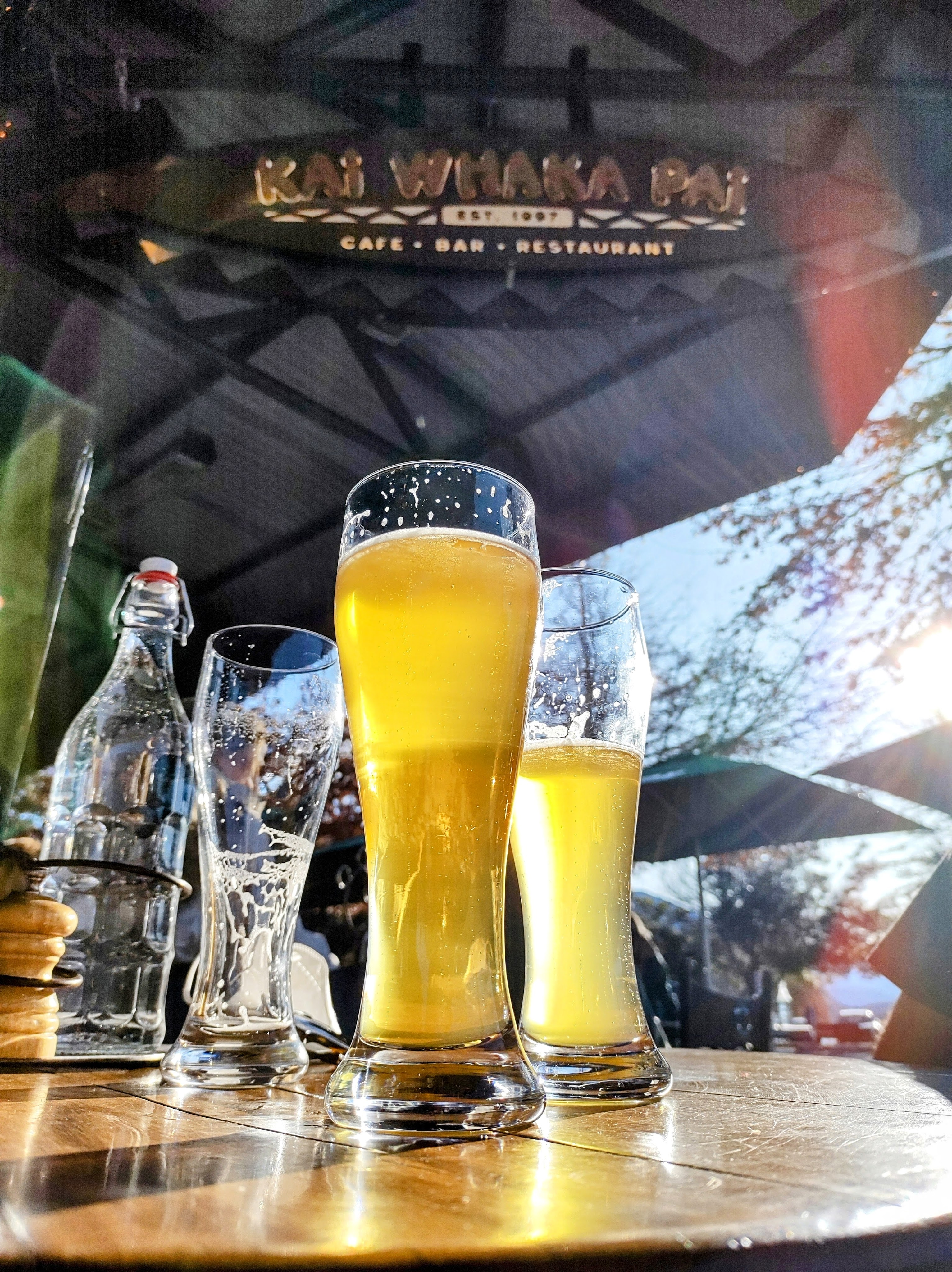
Garage Project
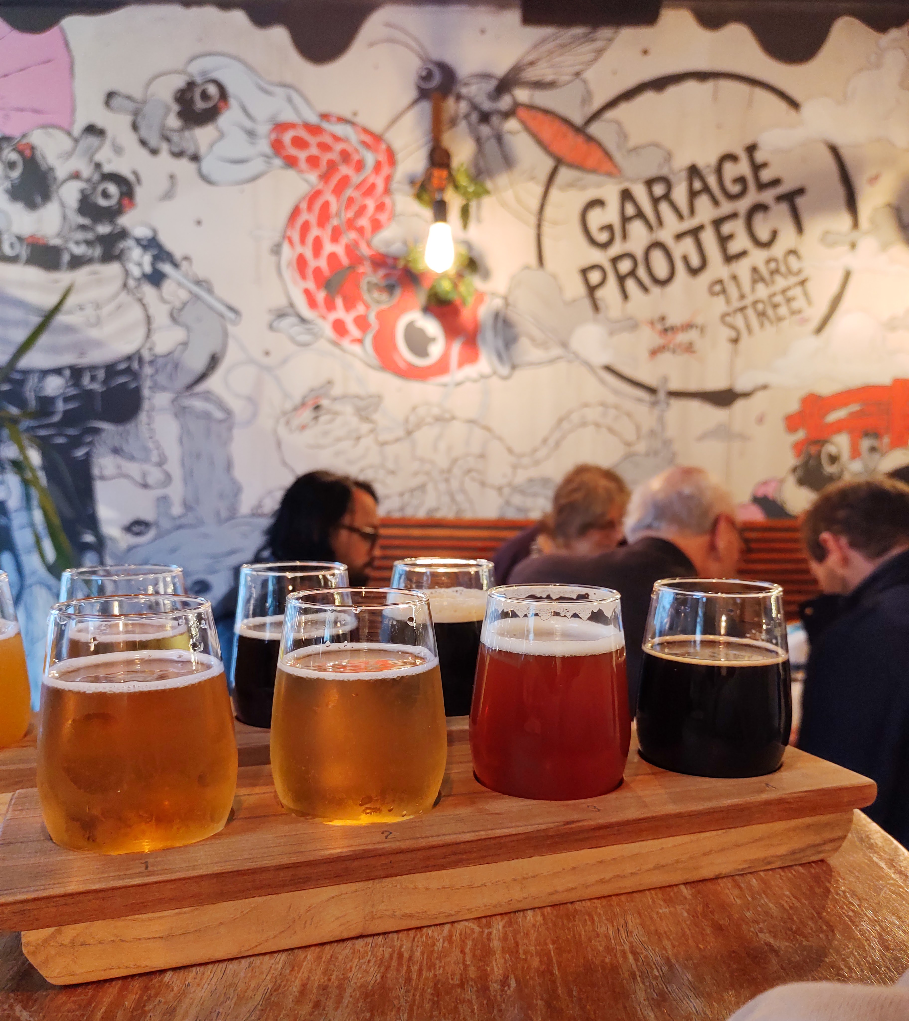
This award-winning craft beer range began in an old garage across the road from the tap room, where you can now buy your take-home beers. They really know how to make good beer with immaculate attention to detail, and if you’re partial to a flavour adventure, there are always several party beers with creative infusions and satisfying mouthfeels. My only tip if you visit – don’t drive!
Location: Aro Street, Aro Valley, Wellington
Fortune Favours
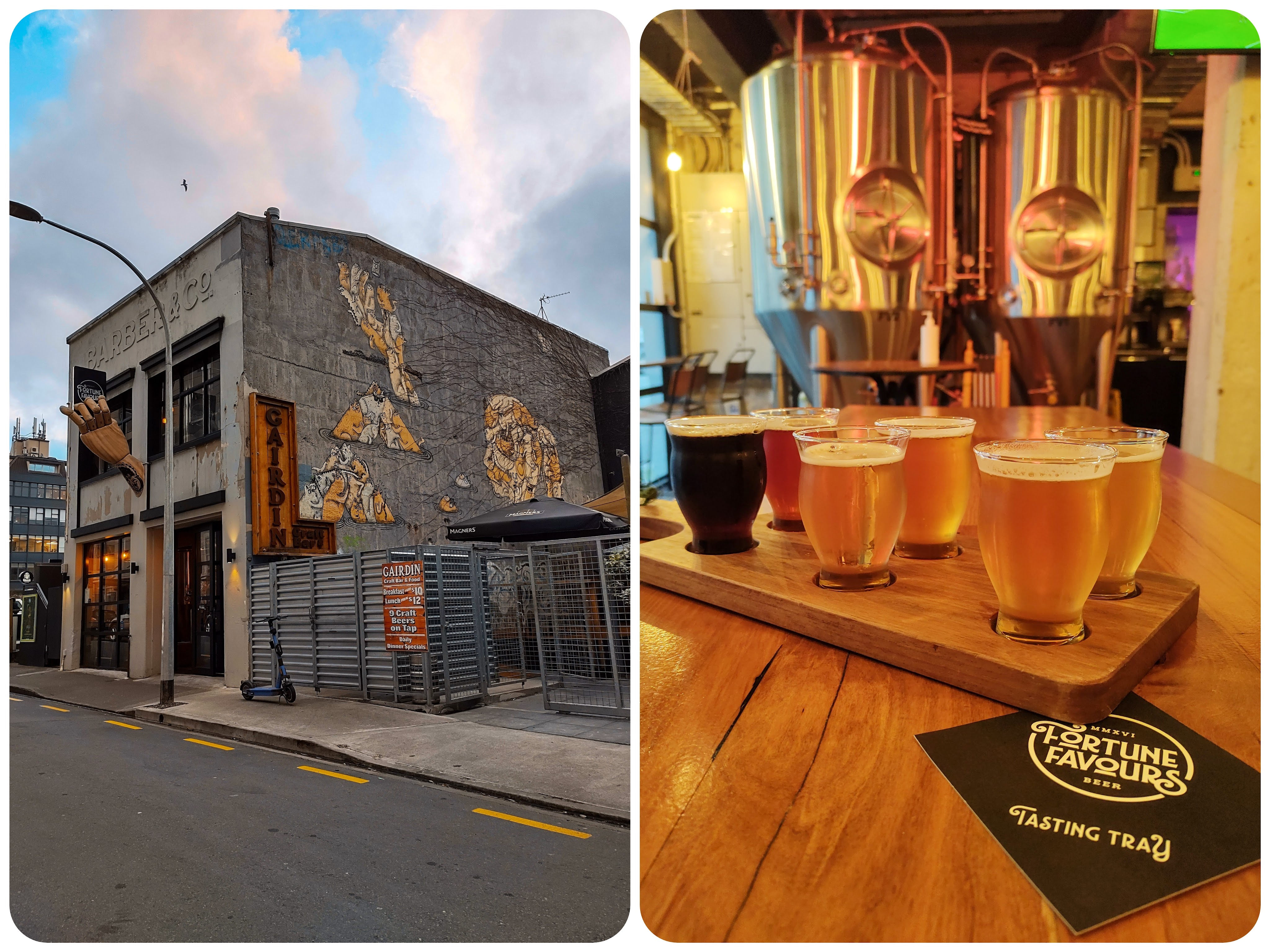
The artist’s wooden hand protruding from this brewpub beckoned us to try a paddle and we weren’t disappointed. Partnered with Gorilla Burgers, there’s plenty to soak up the beer, and there’s also rooftop seating to soak up the cityscape.
Location: Leeds Street, Te Aro, Wellington (also in Park Rd, Miramar & Wellington Airport)
The Library
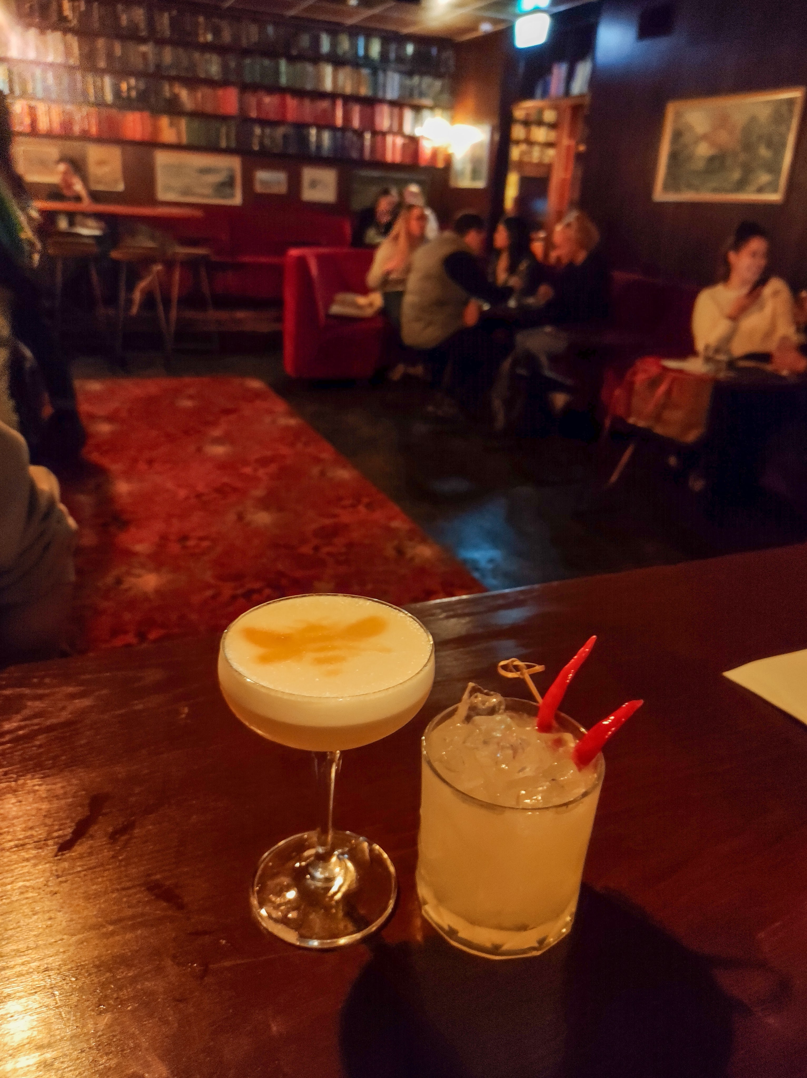
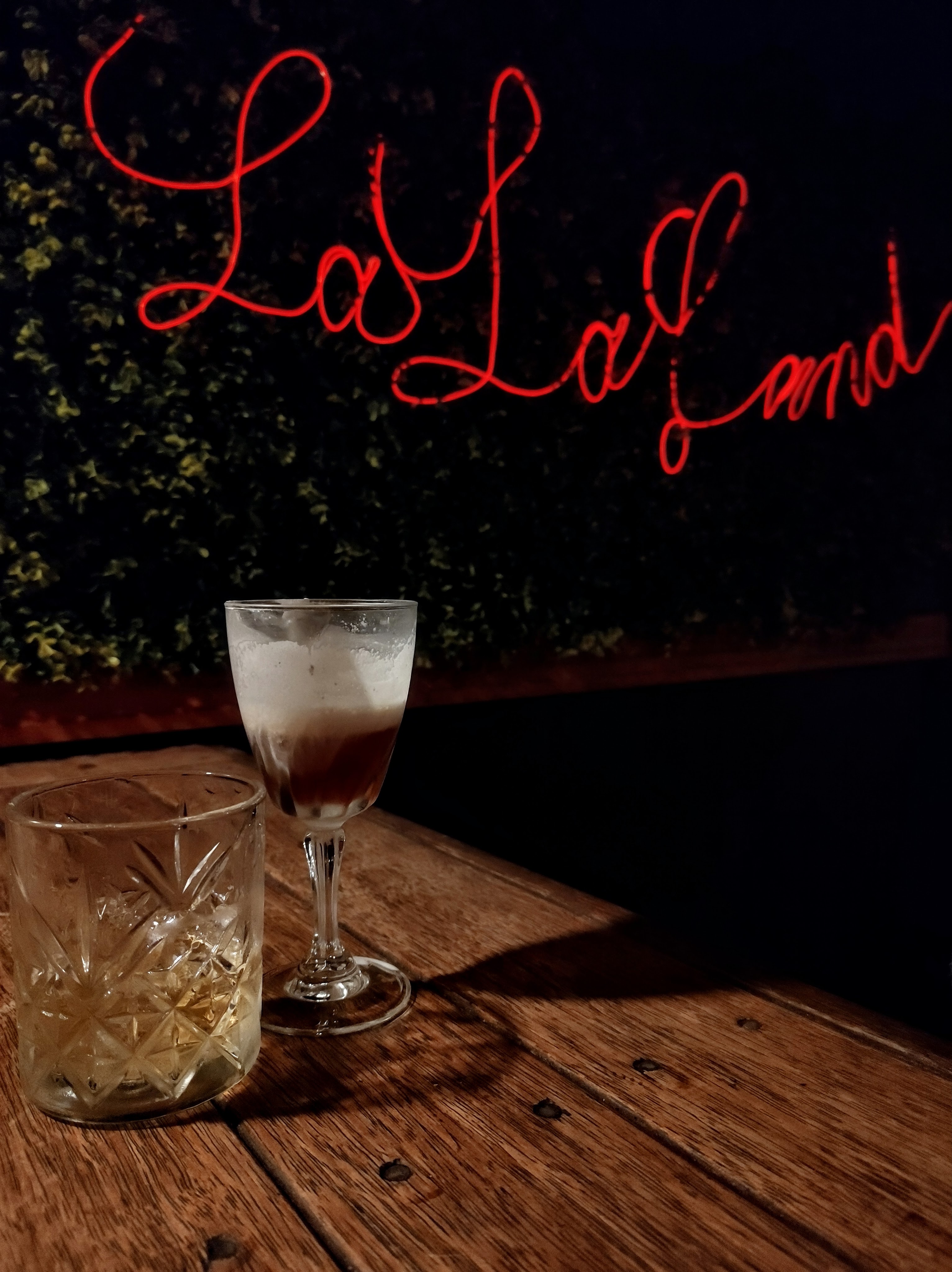
We found this semi-secret bar following a sandwich board that pointed us up some stairs to what looked like residential flats. Going through what seemed to be a fire door, we were welcomed into this quirky cocktail bar. An instrumental Jazz trio was playing live music, and with the drinks menu following a theme of stories, movies and shows, our curiosity had us spending more than we intended. Every cocktail is a uniquely delicious spin on a classic, my favourite was named “Inner City Pressure” for us Flight of the Conchords fans.
Location: Courtenay Place, Te Aro, Wellington
Little Beer Quarter
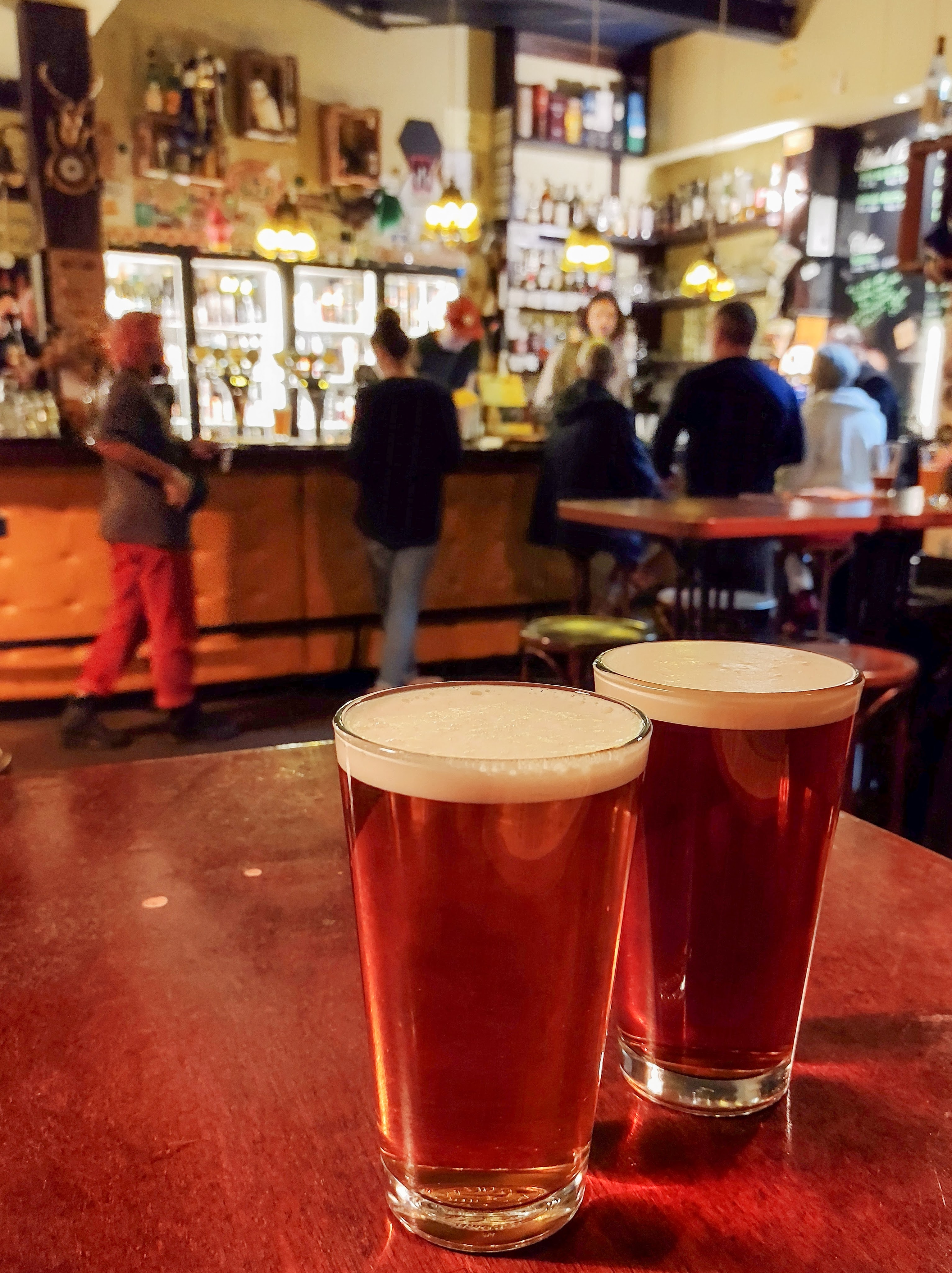
This proper little pub has an extensive list of guest beers that change regularly, along with house classics including wines, spirits and cocktails. The hospitable but casual atmosphere makes you feel like a local even if you’re not.
Location: Edward Street, Te Aro, Wellington
Read Next…
- Patagonia | Dipping a Toe in Chelenko
- Exploring Australia ~ Atherton Tablelands
- The Black Snow Globe
- The Roof of Africa: Climbing Kilimanjaro
- Puffin Island


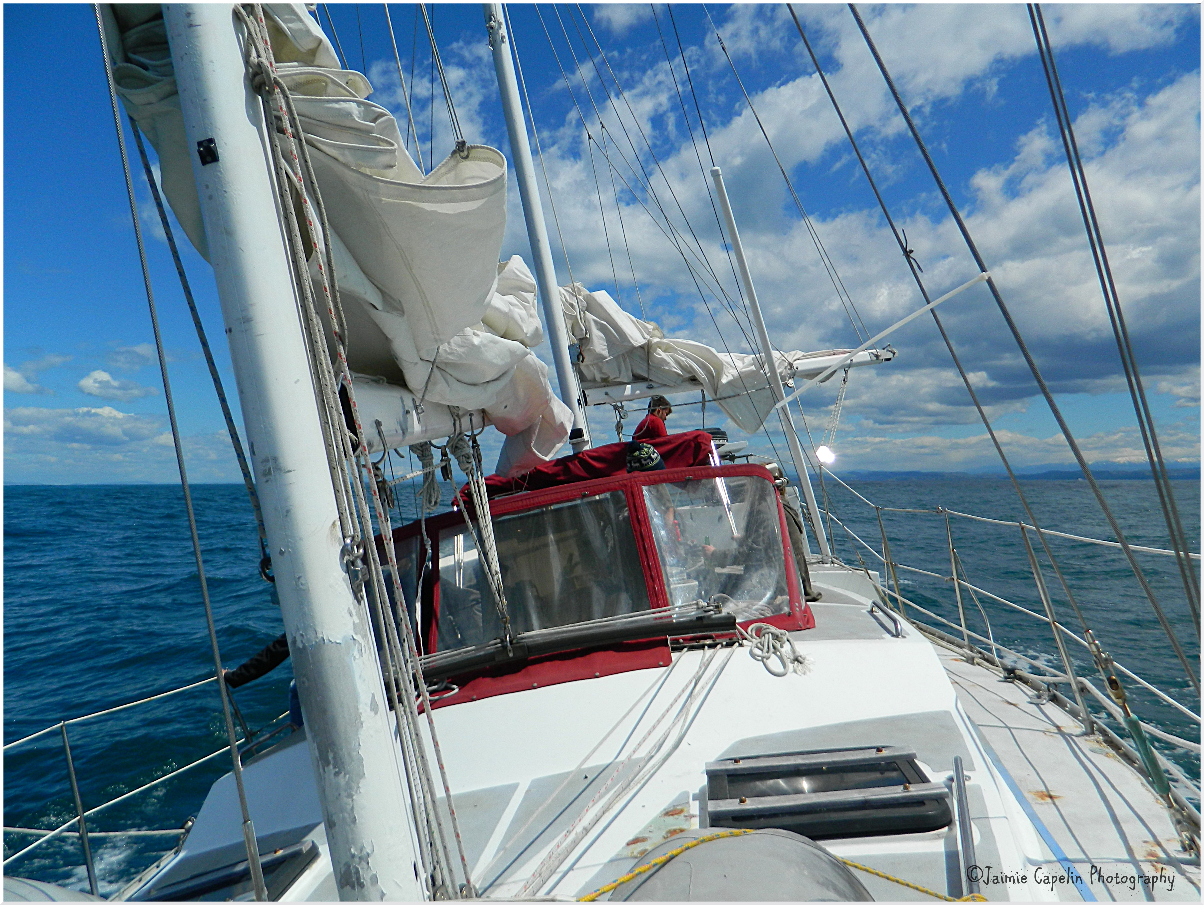
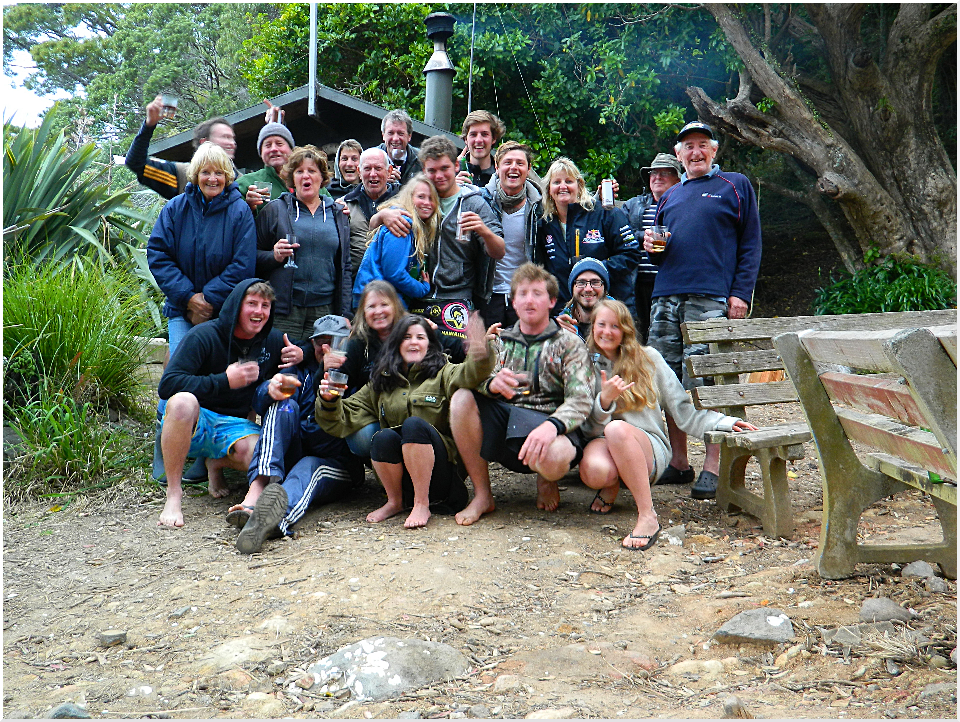
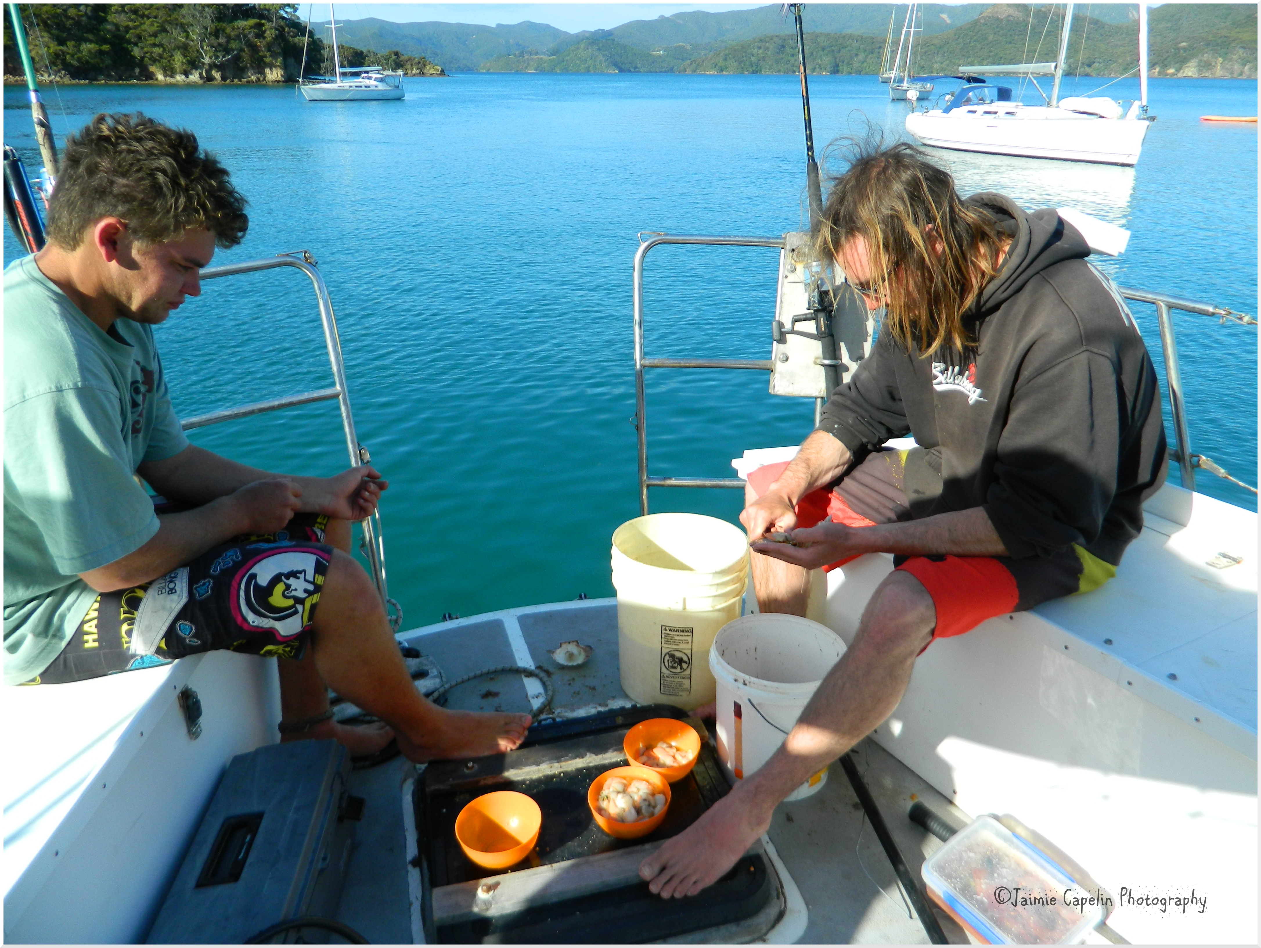
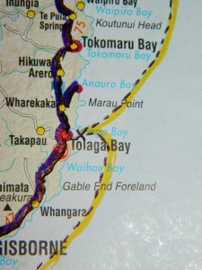 isborne and up towards the East Cape. The sea was still fairly lively, and the bitter south wind blew so we were able to sail at a fair speed. The boys were much better after a night’s sleep. We all settled on deck, Dani engrossed in her journal, while Luca, Simon, Fabian and I discussed such things as the pronunciation of the German ‘Z’, and I learnt things like, “Wie spät ist es?” and “Das Boot ist am Ozean.”
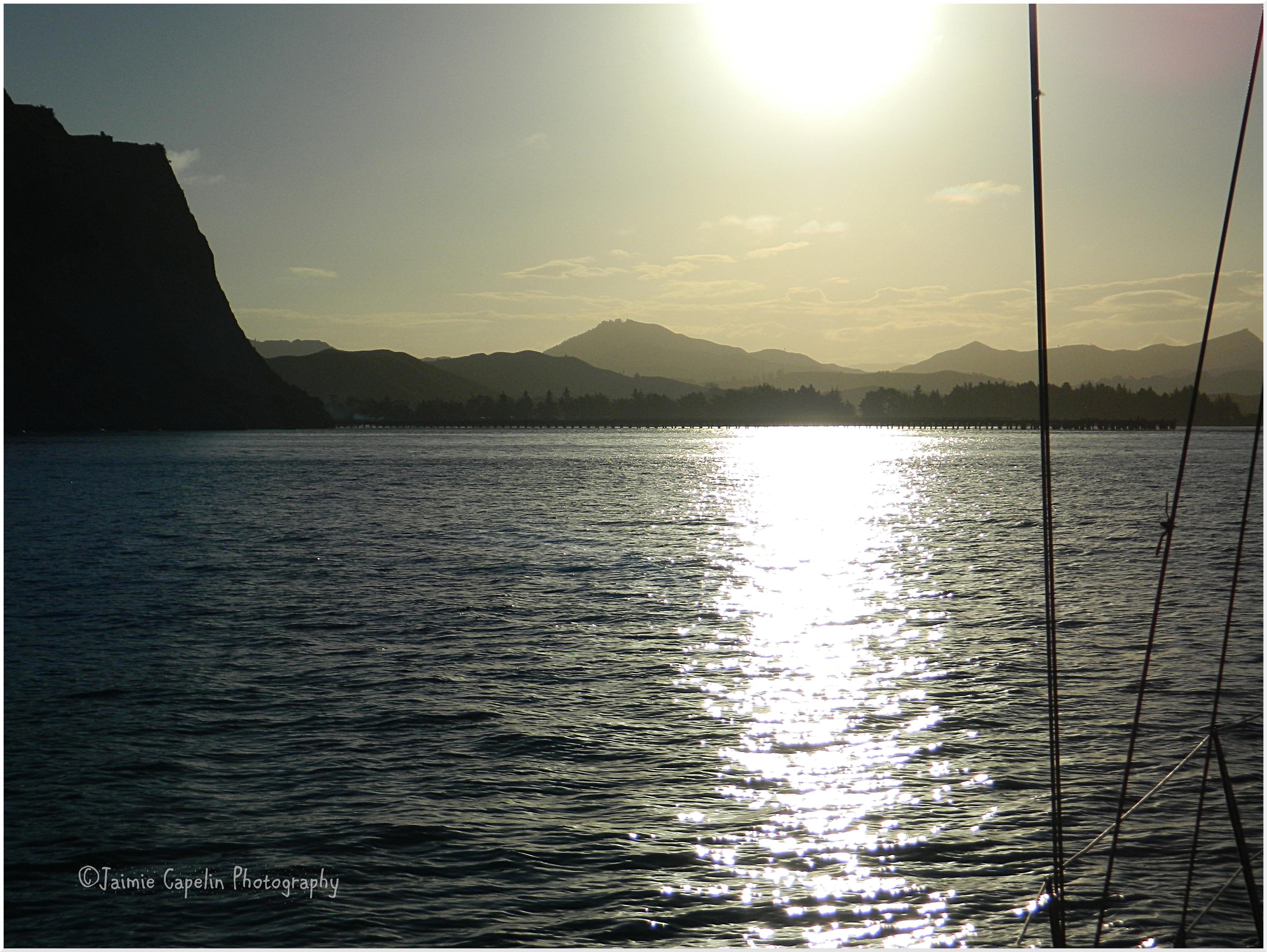
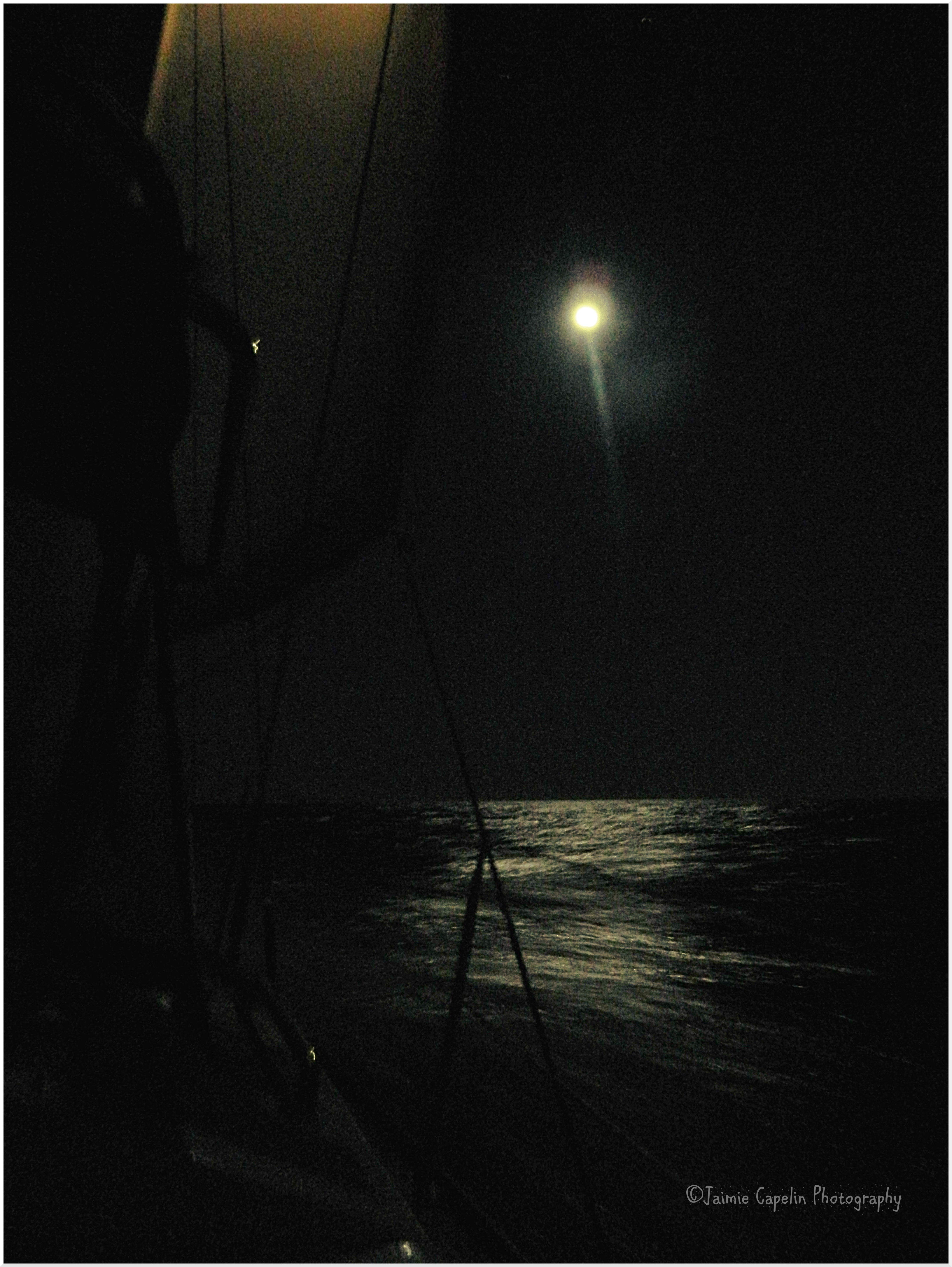
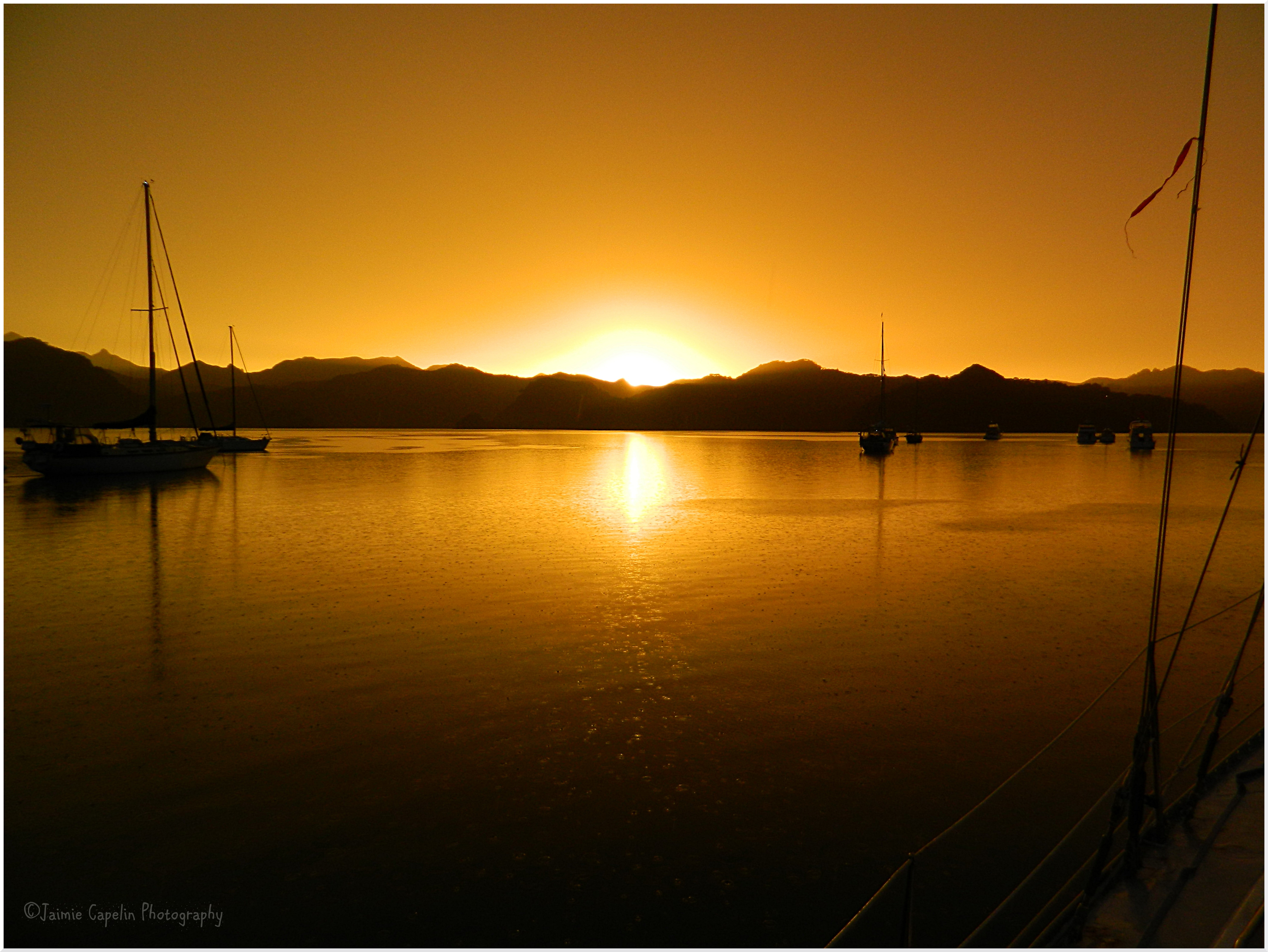
 We’re a bit sore, sleeping on benches and in corners like human Jenga. All our stuff is drenched as there is a crack in the hatch in the front of the boat – right above our bunk. But it’s an excuse to get the guitar out of its damp case. As the sun set, leaving scuds of brilliant red on the ‘Eye of Sauron’ horizon, we saw a couple of whales spraying up jets of water from their blowholes in the distance. Hopefully tonight we’ll hear some Morepork and Kiwi birds. A Morepork was flying around as we weighed anchor, and shortly after, something flew into the side of the boat in the darkness, letting out a terrible cry as it thudded! I hope it wasn’t the Morepork.
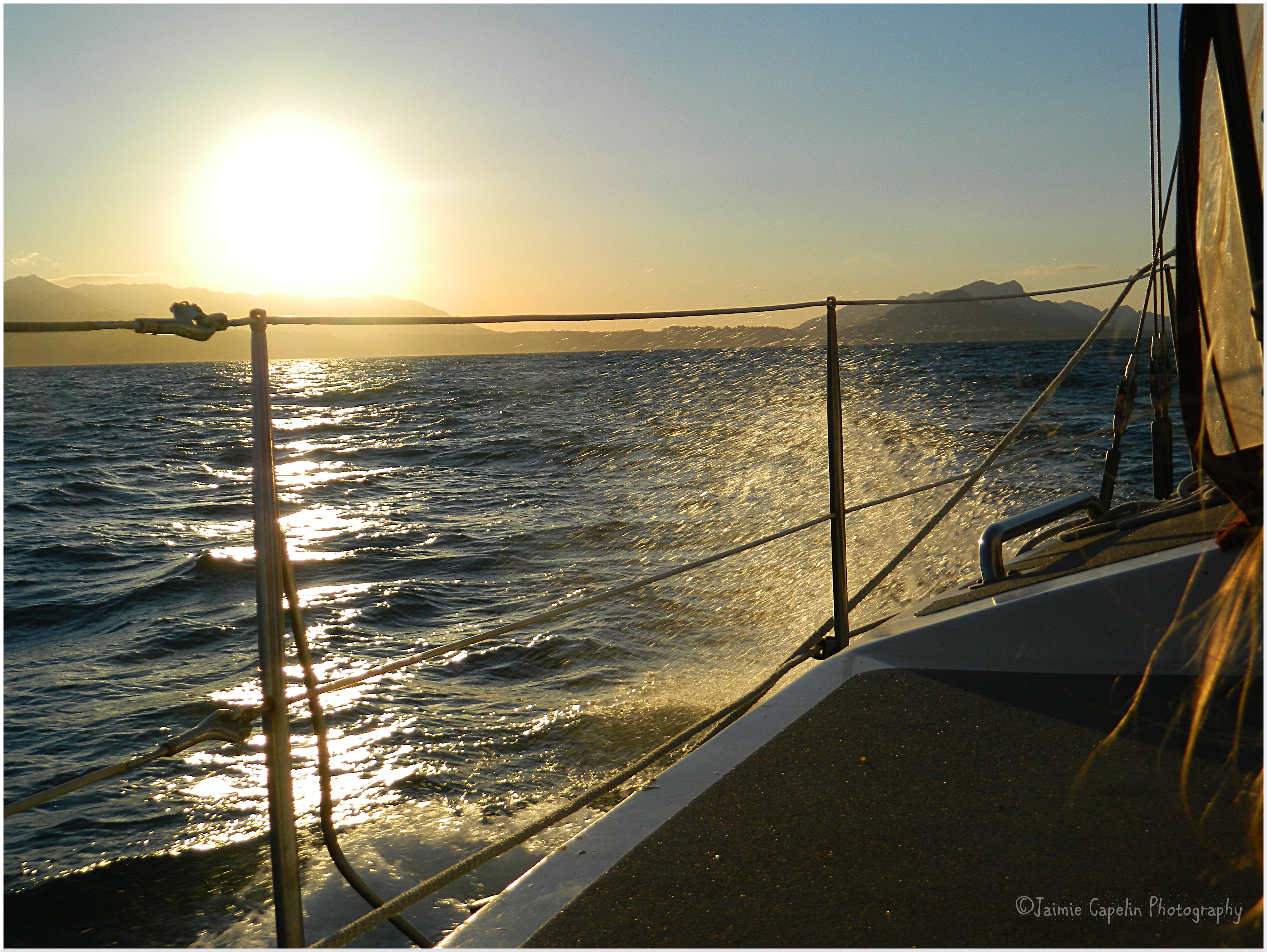
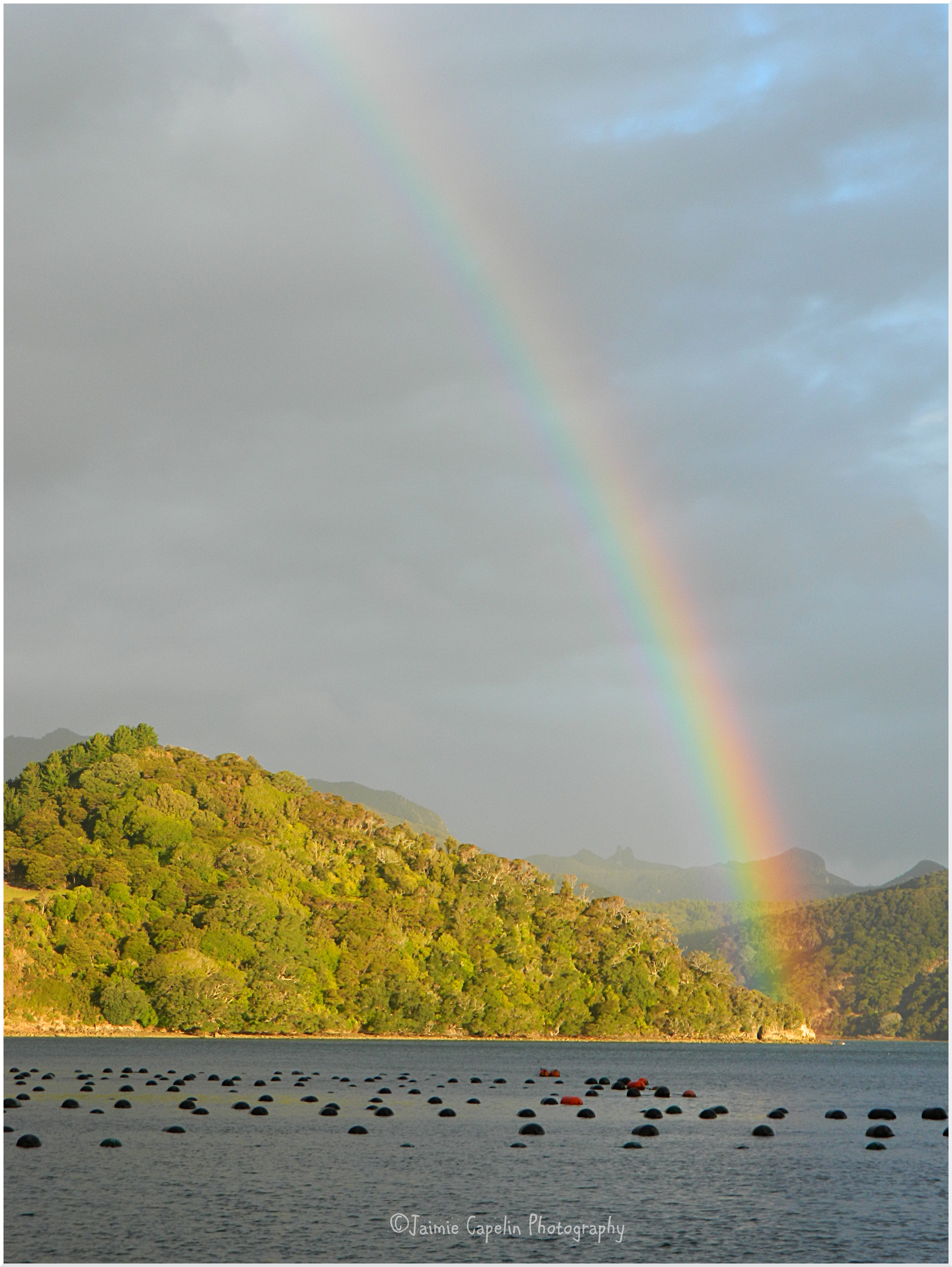
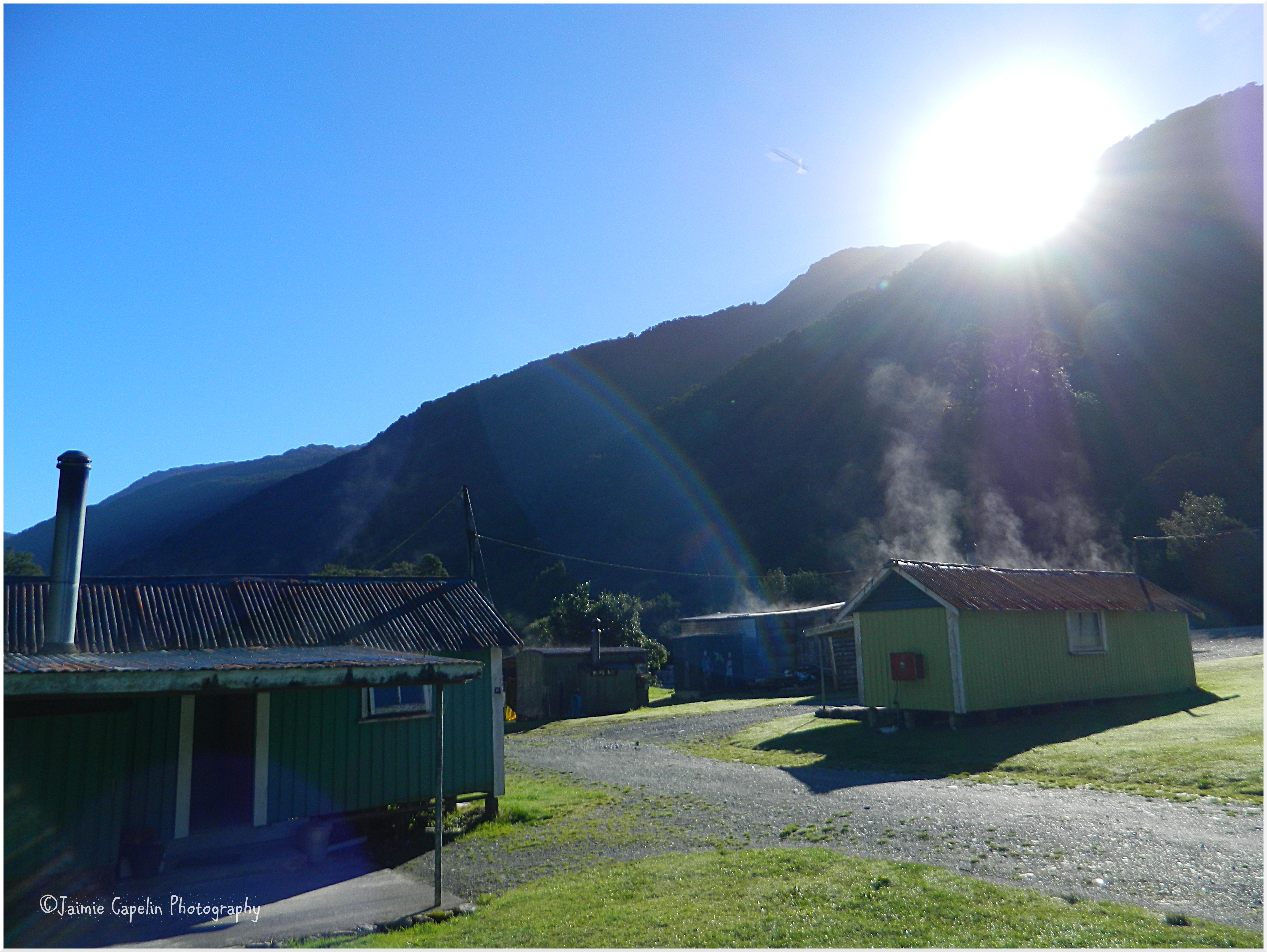
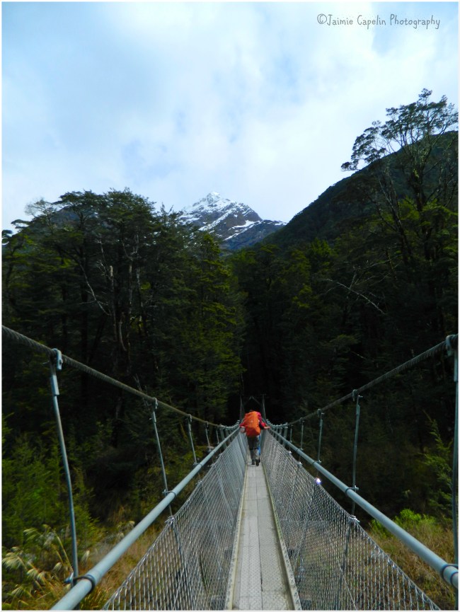
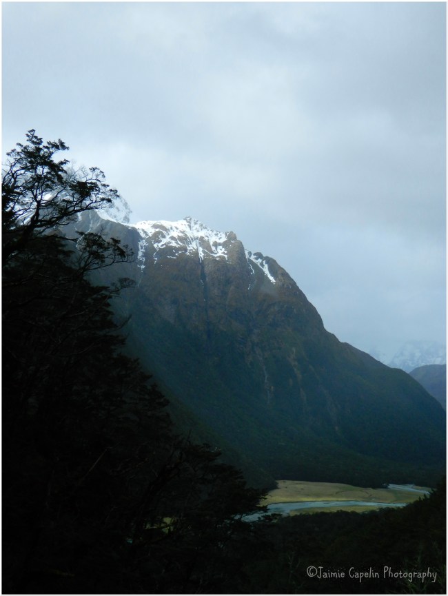
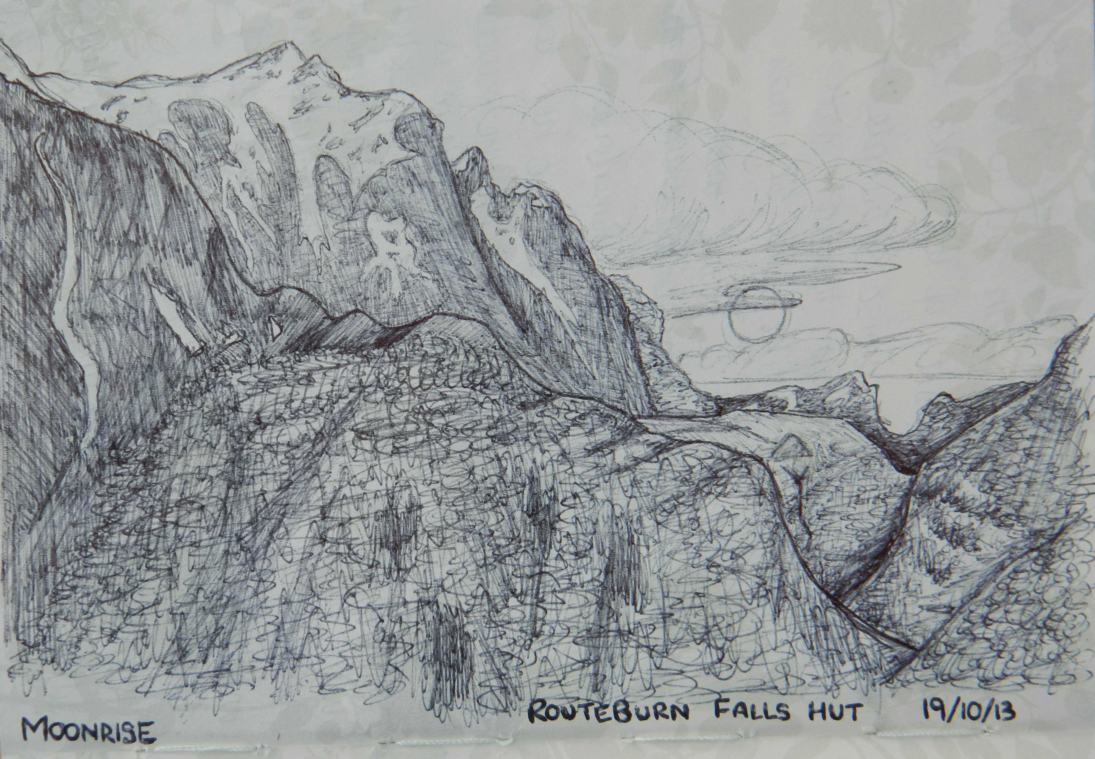
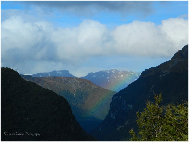 [Rainbow in the eastern valley, from Routeburn Falls Hut – 19/10/13]
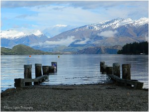
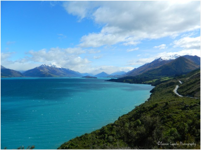 [Pigeon & Pig Island, Lake Wakitipu – 19/10/13]
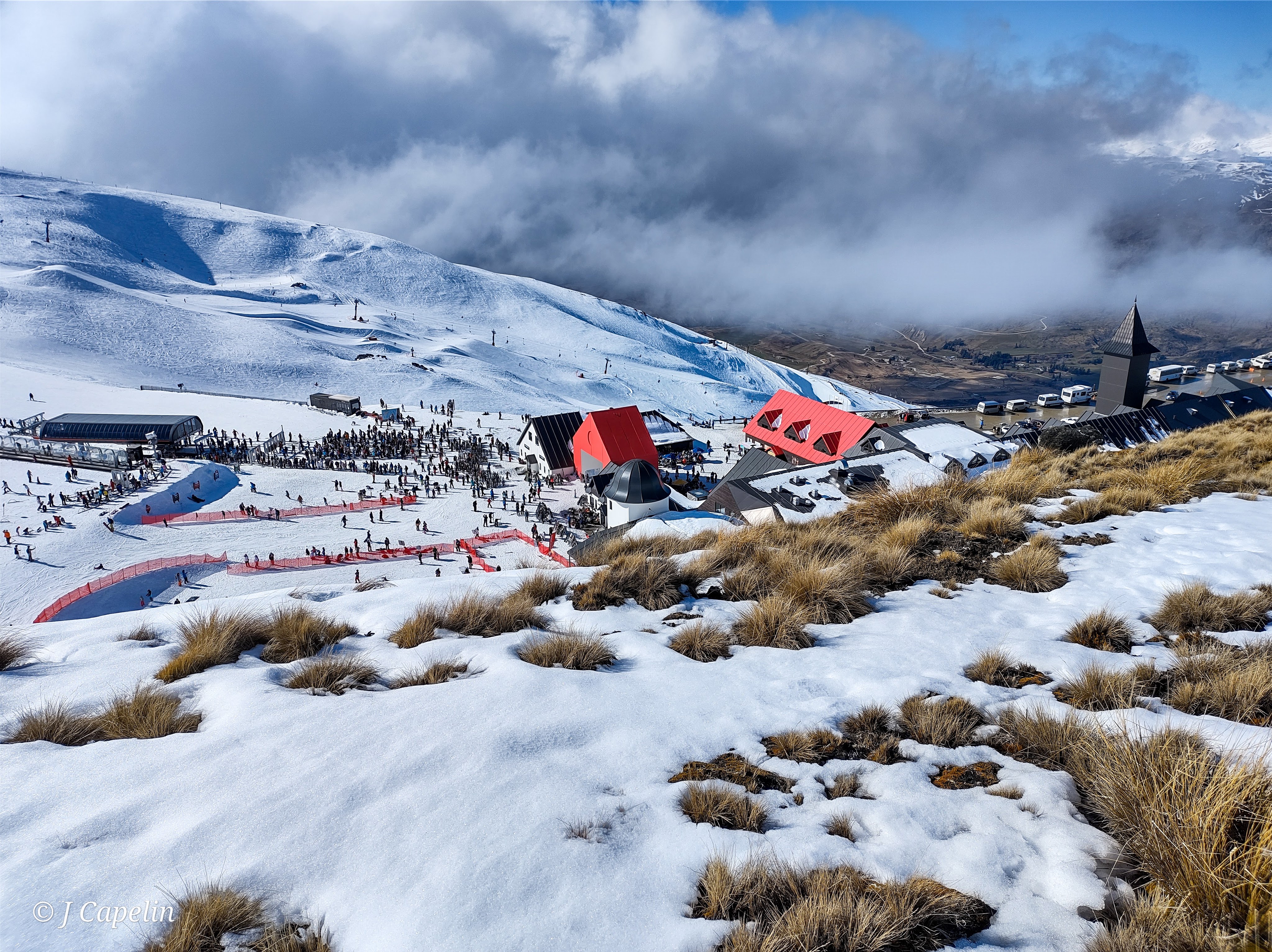
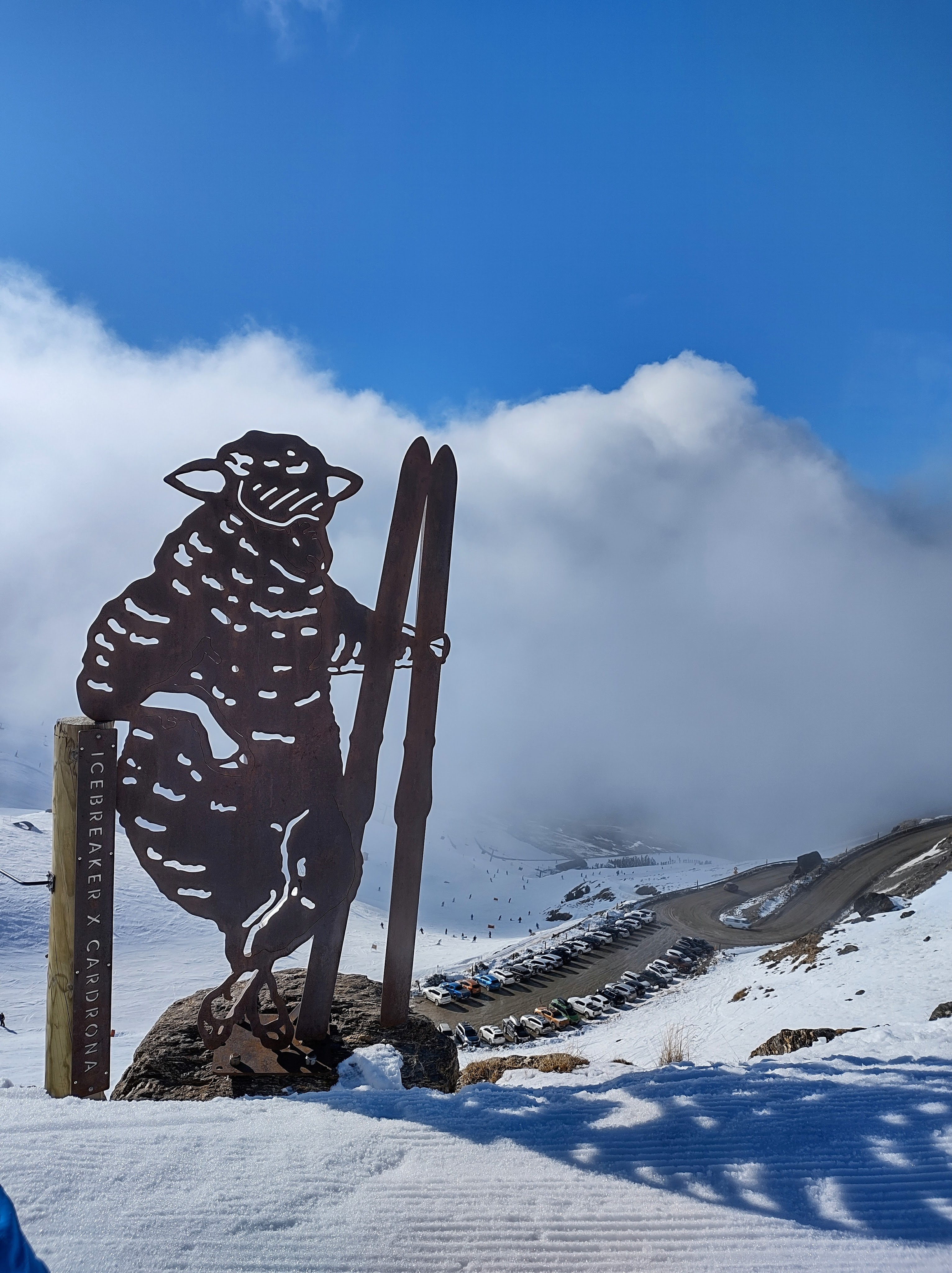
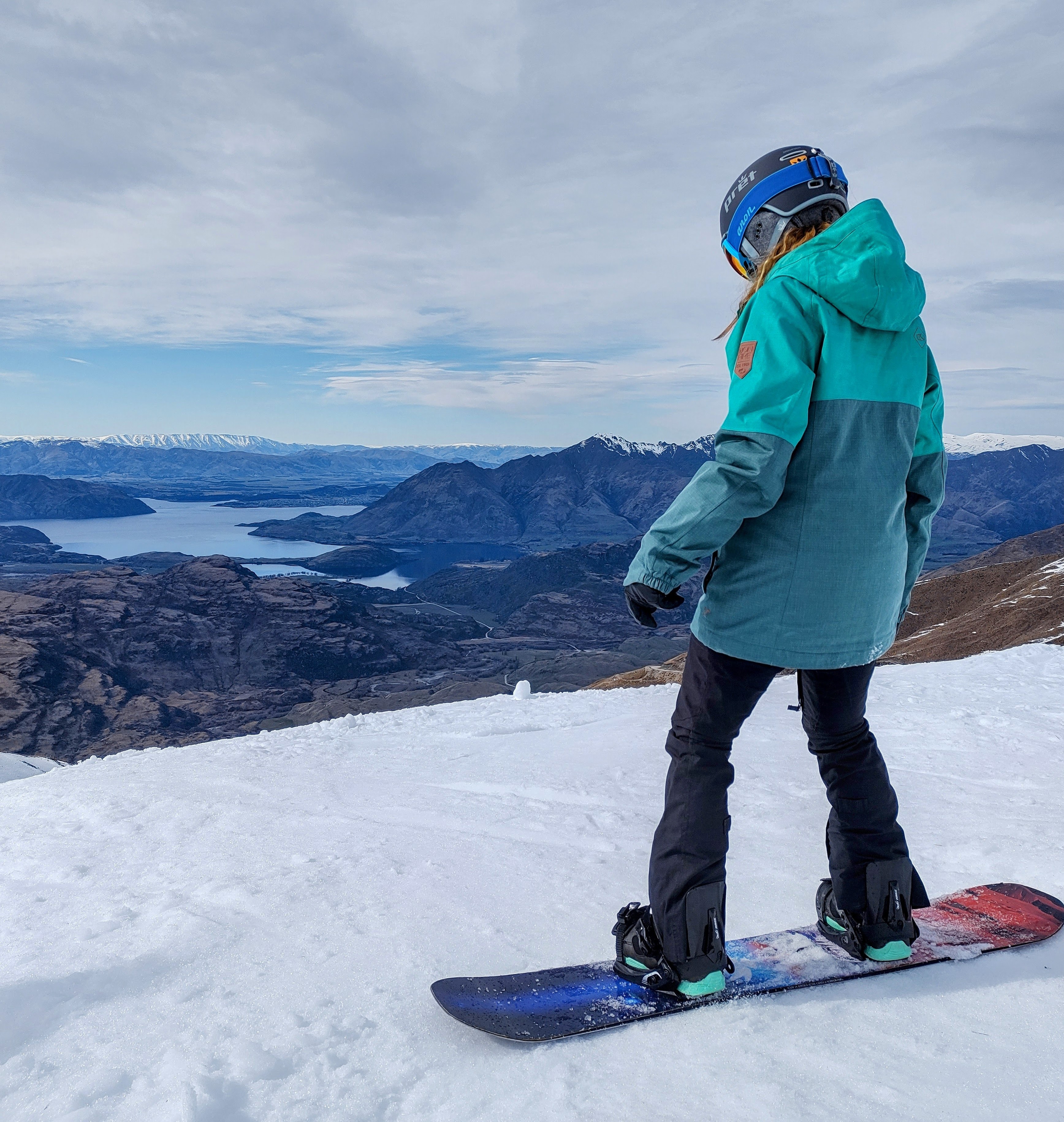
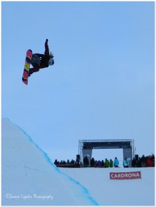 [The Women’s Half Pipe World Cup Finals, Winter Games]