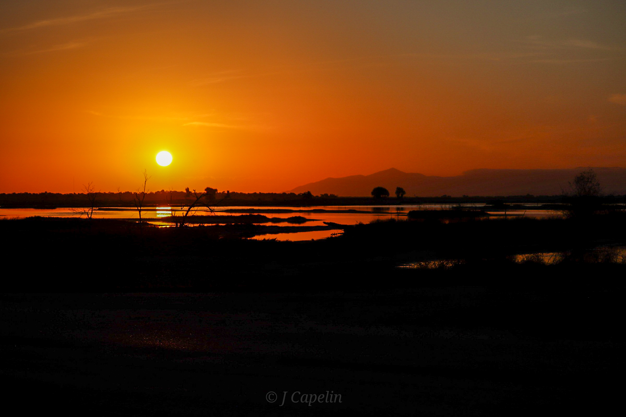
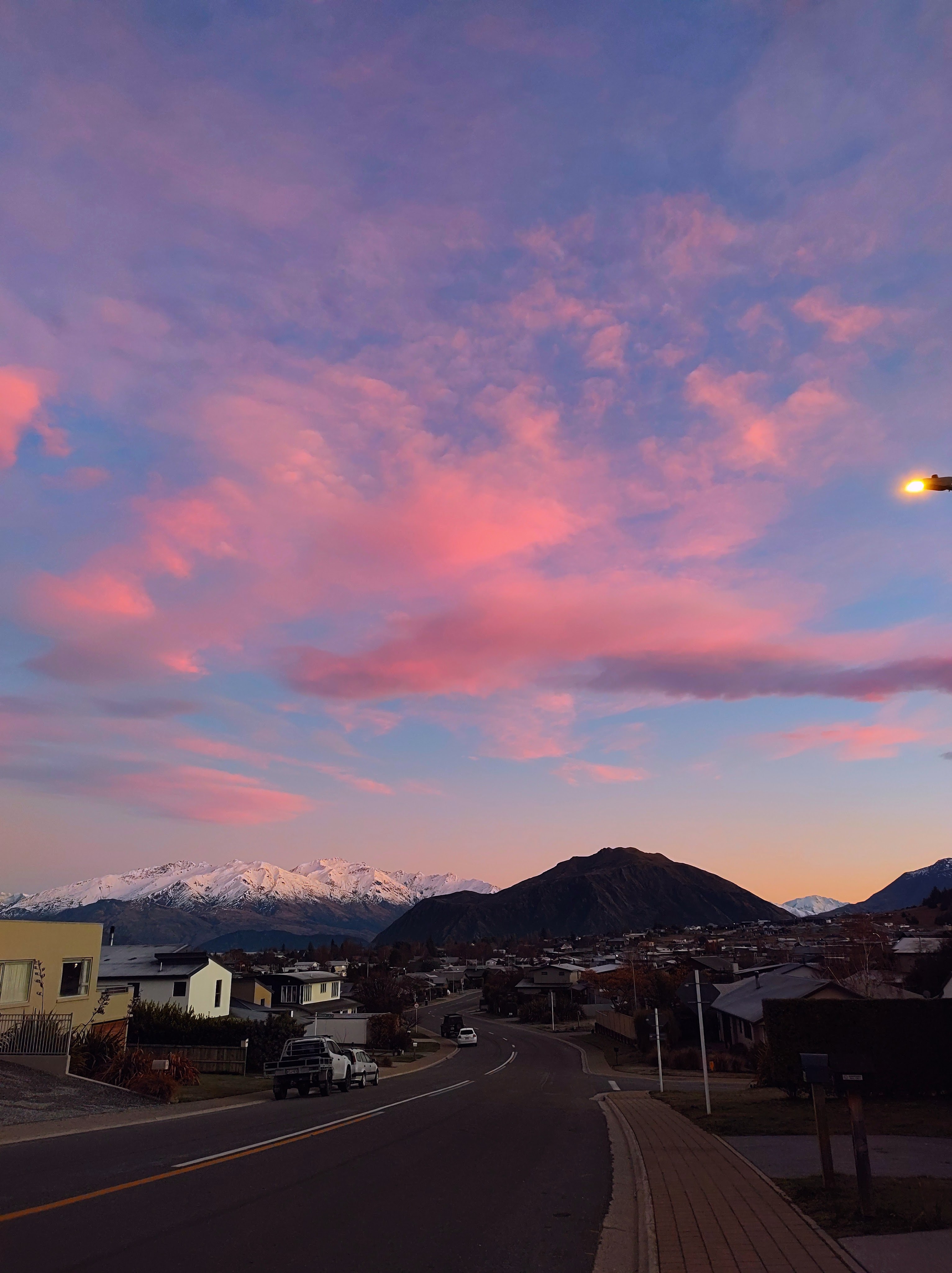
Dust clouds billow behind the car, pursuing us and clinging to the rain soaked rear window. Another corner of mud and loose gravel, and another minor slide out as the tyres lose their traction. We haven’t seen another car for a while, does anyone else know about this “famous” highway? Carretera Austral – the great Southern Highway, seemingly to Nowhere. If Nowhere consists of weather-veiled mountains of extraordinary scale; aquamarine lakes that stretch beyond the borders of the country, and a 1,240km highway (half of which is unpaved) that stops at a dead end in the middle of this vast, dramatic landscape, then this is Nowhere.
But there is something in the atmosphere here, even through the immense grey of rain and fog, I can feel it: ancient magic in the air. And when the mist moves in great curls, you think a section of sky will be revealed, and instead a mountain peers down, then you know you are Somewhere.
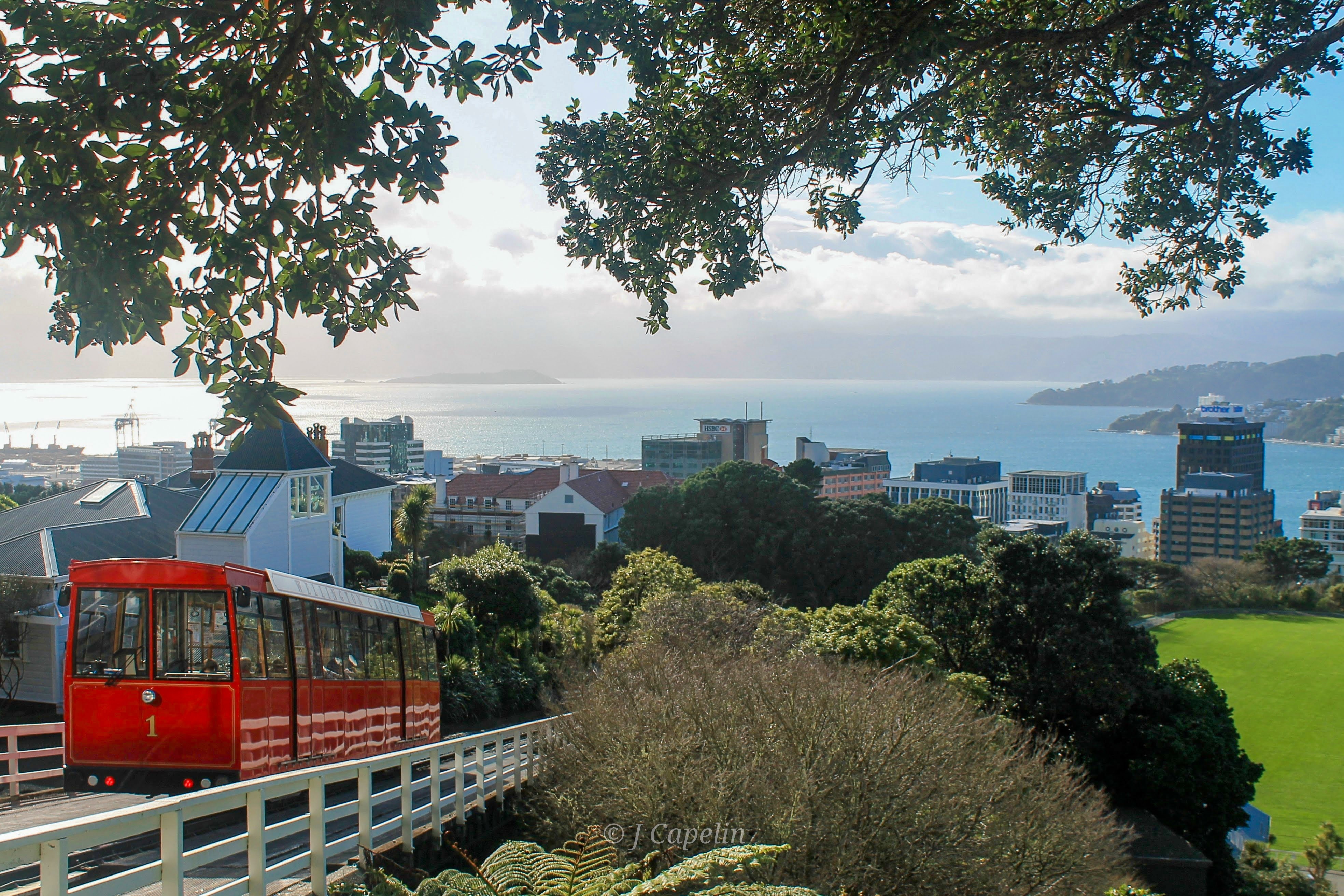
My journey begins in Coyhaique, the biggest city along Chile’s Carretera Austral, and the closest city to Balmaceda airport. Two cars full of brothers-in-law and their partners, my partner, and me.
Car Hire in Balmaceda (click for more)
Balmaceda is a tiny, remote village with a tiny but significant airport. There are several hire car kiosks operating at Balmaceda airport, which you can book online prior to arrival. https://aeropuertodebalmaceda.cl/servicios/?lang=en
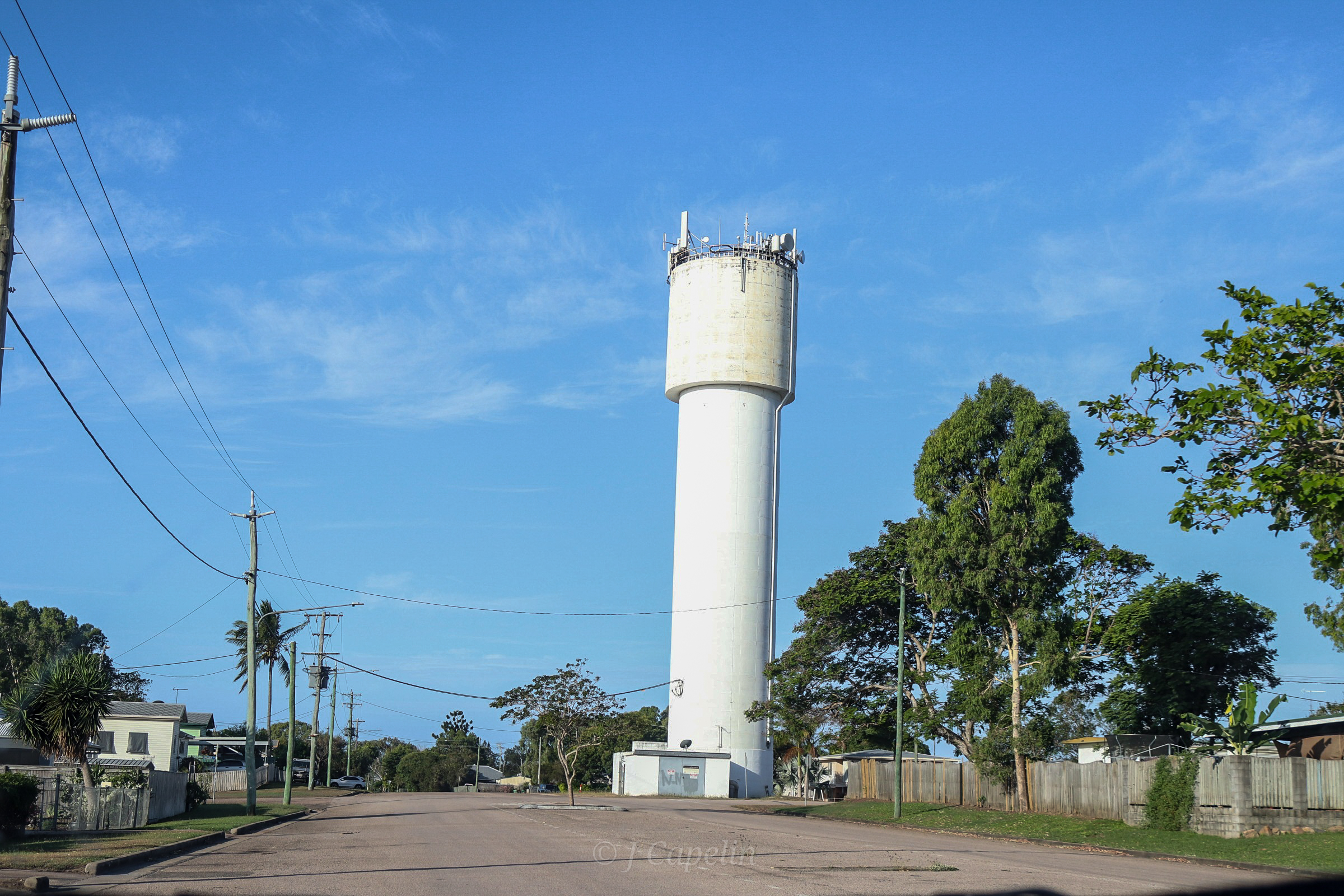
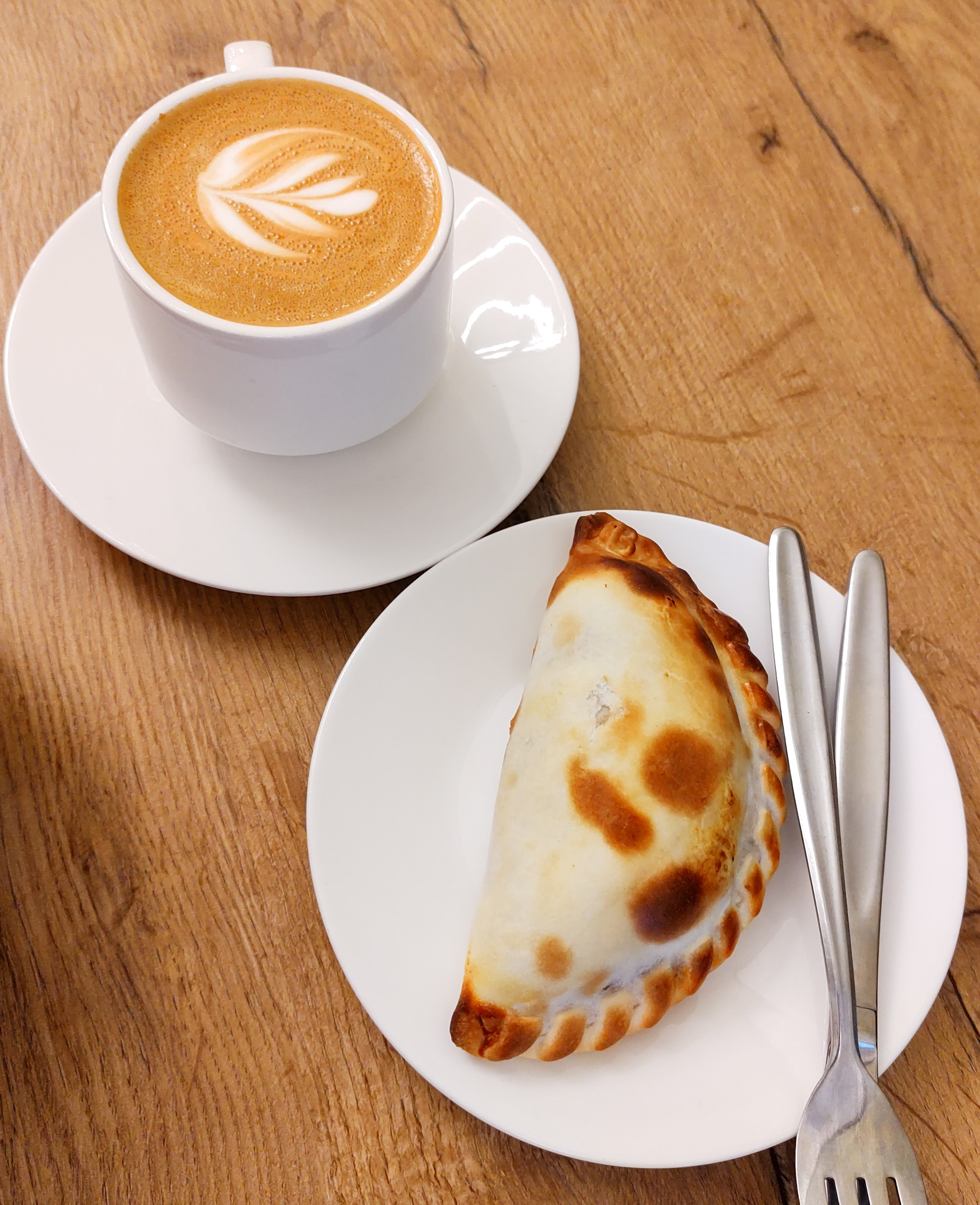
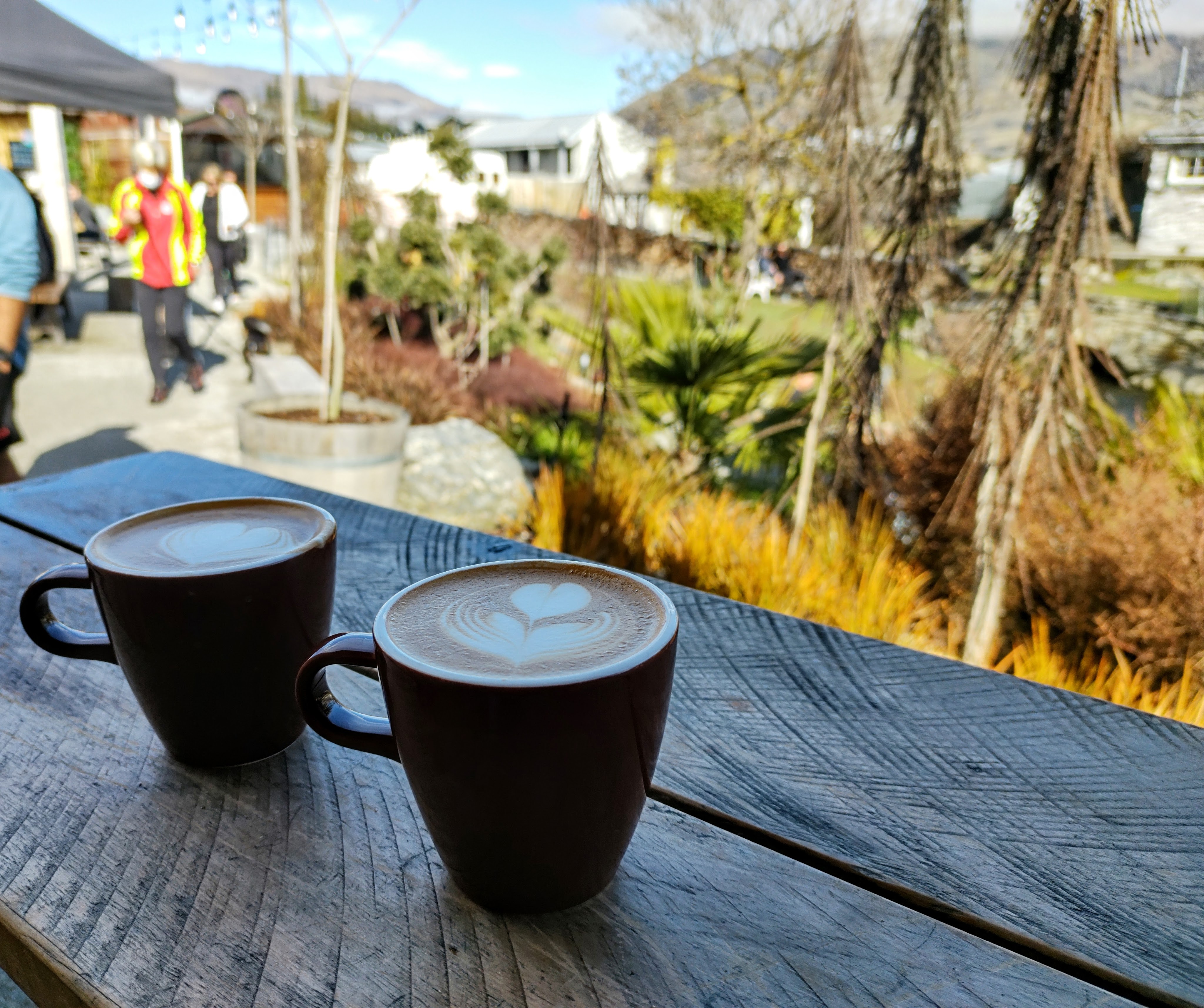
The smoky air of Winter’s approach fills my lungs in Coyhaique. The small wooden buildings with pitched rooftops make it feel much less like a city, and more like a small town, with the colours of the surrounding mountains visible from any angle. We seek coffee and lunch in a beautiful cafe, where the sun breaks the cloud and warms my back through a cheerful little window, before heading to a supermarket for essentials.
Coyhaique Essentials
Coyhaique is the last major town to pick up supplies, especially if you travel in the down season – you can’t always rely on village stores being open.
Tierra Indómita Café – recommended for great coffee and lunch.
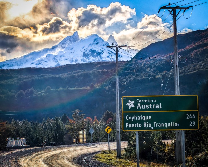
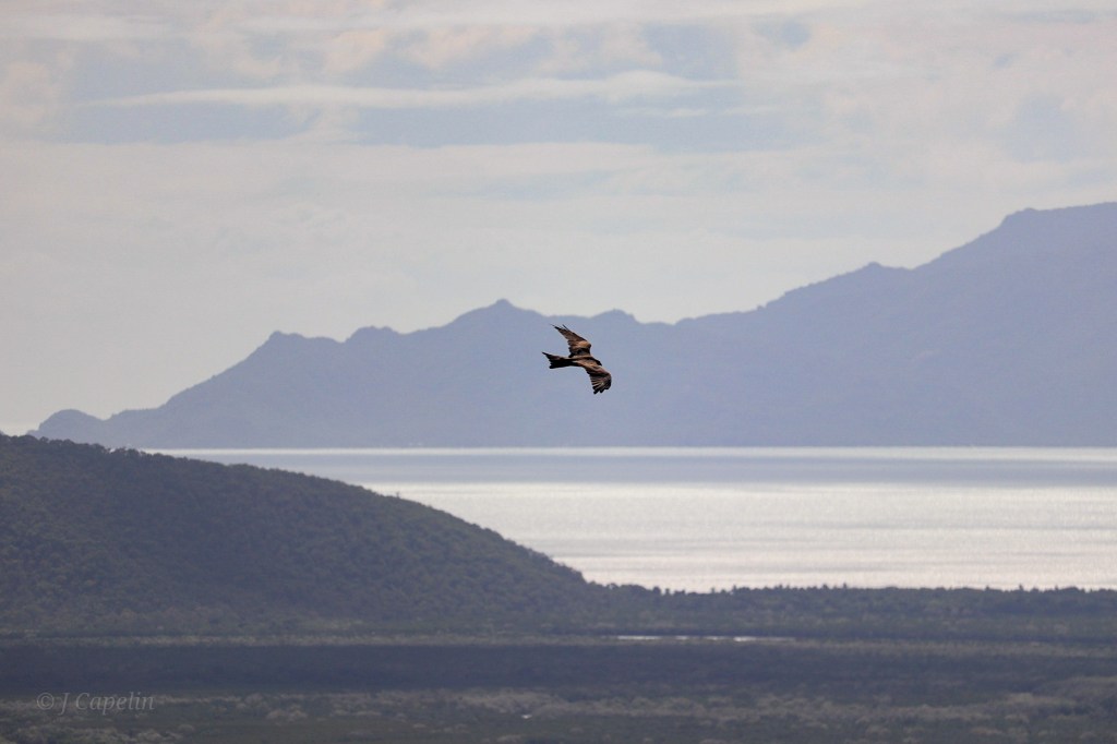
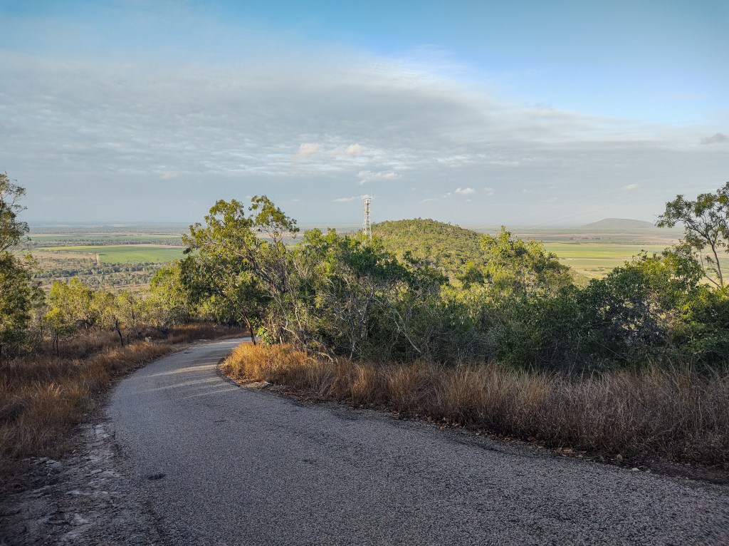
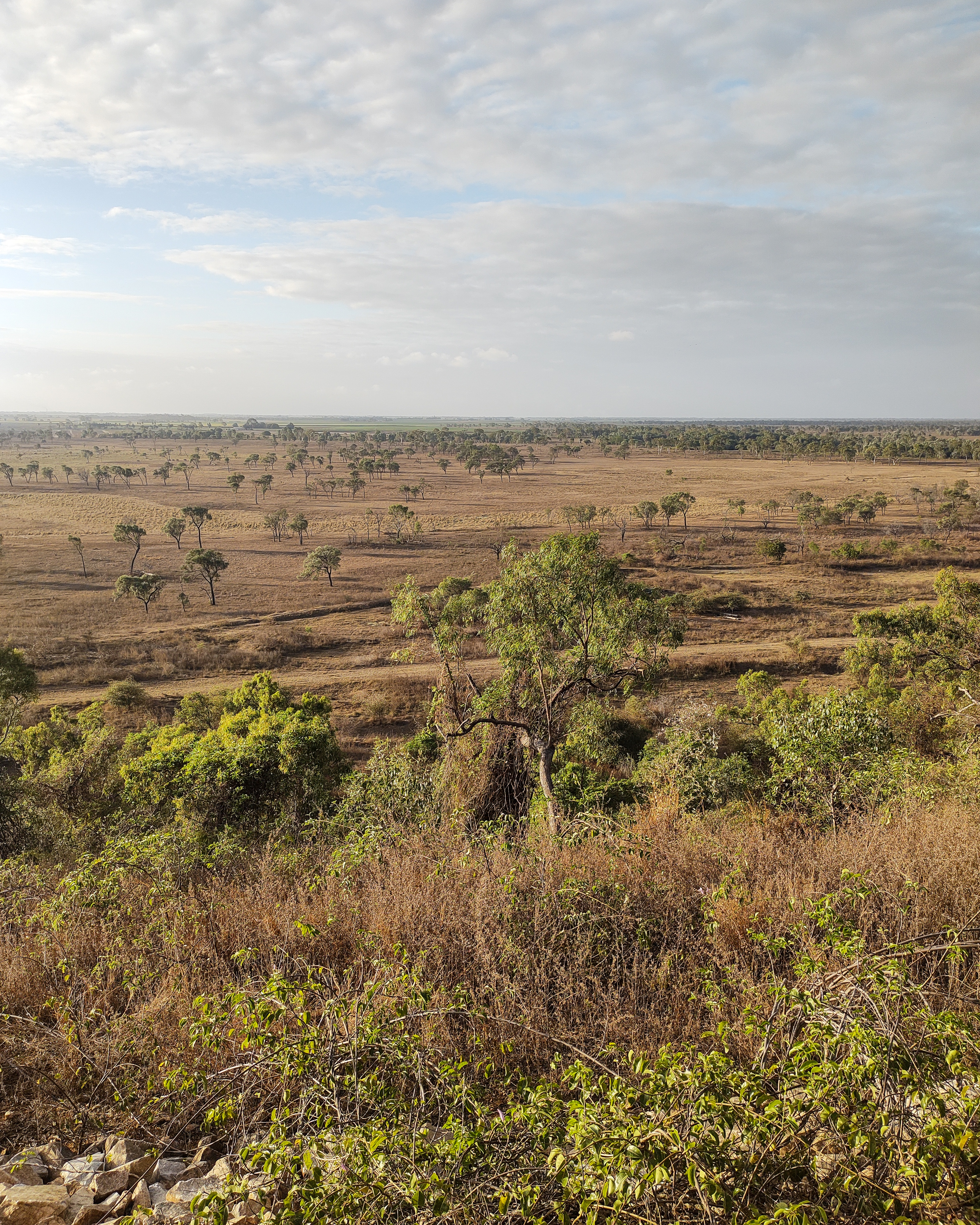
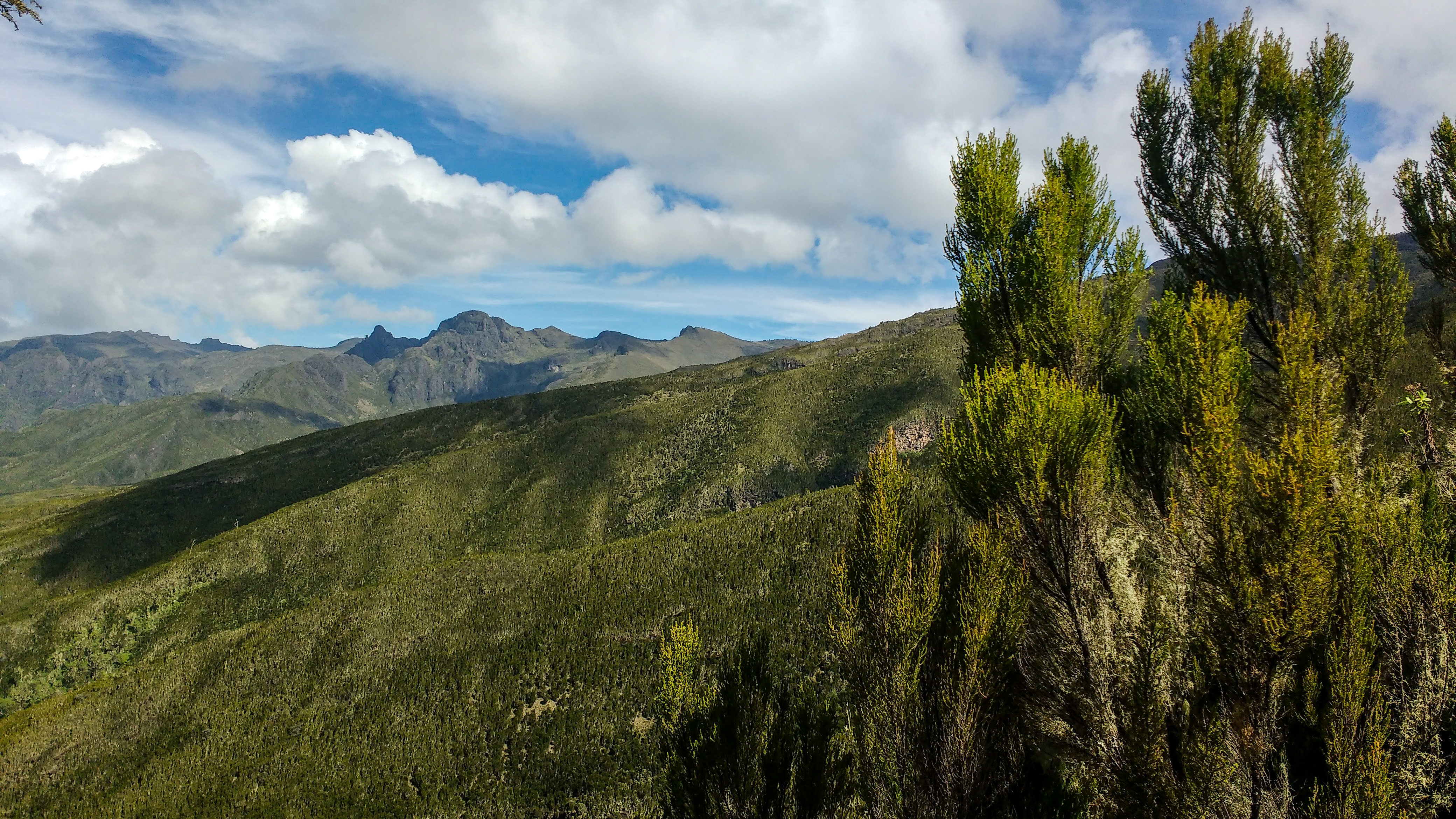
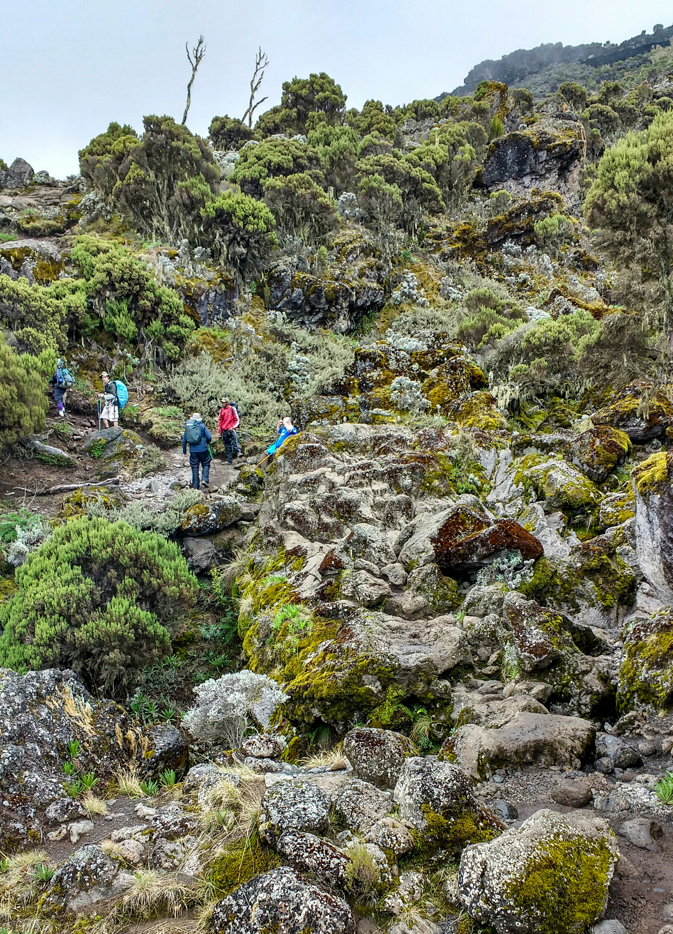
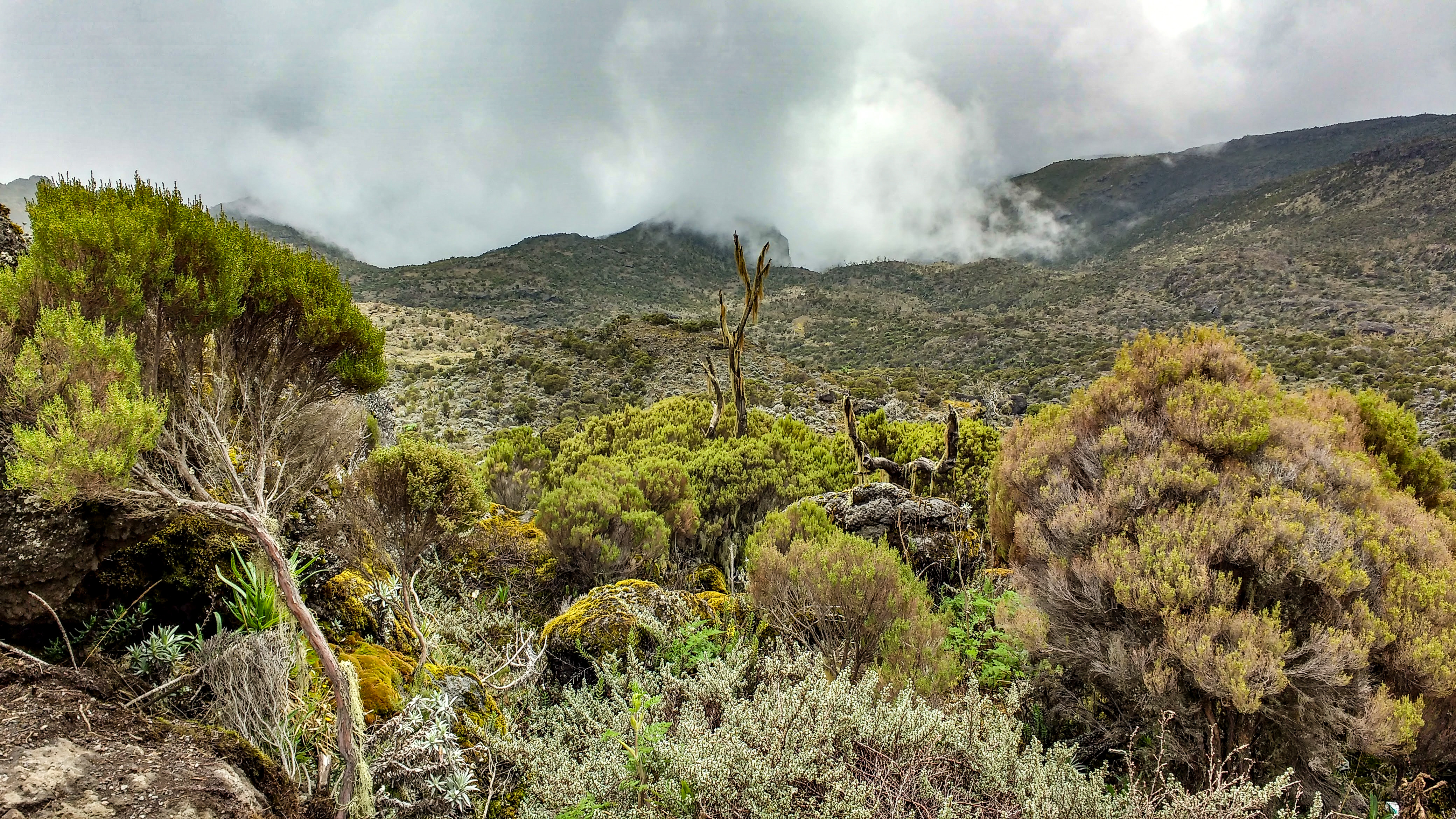
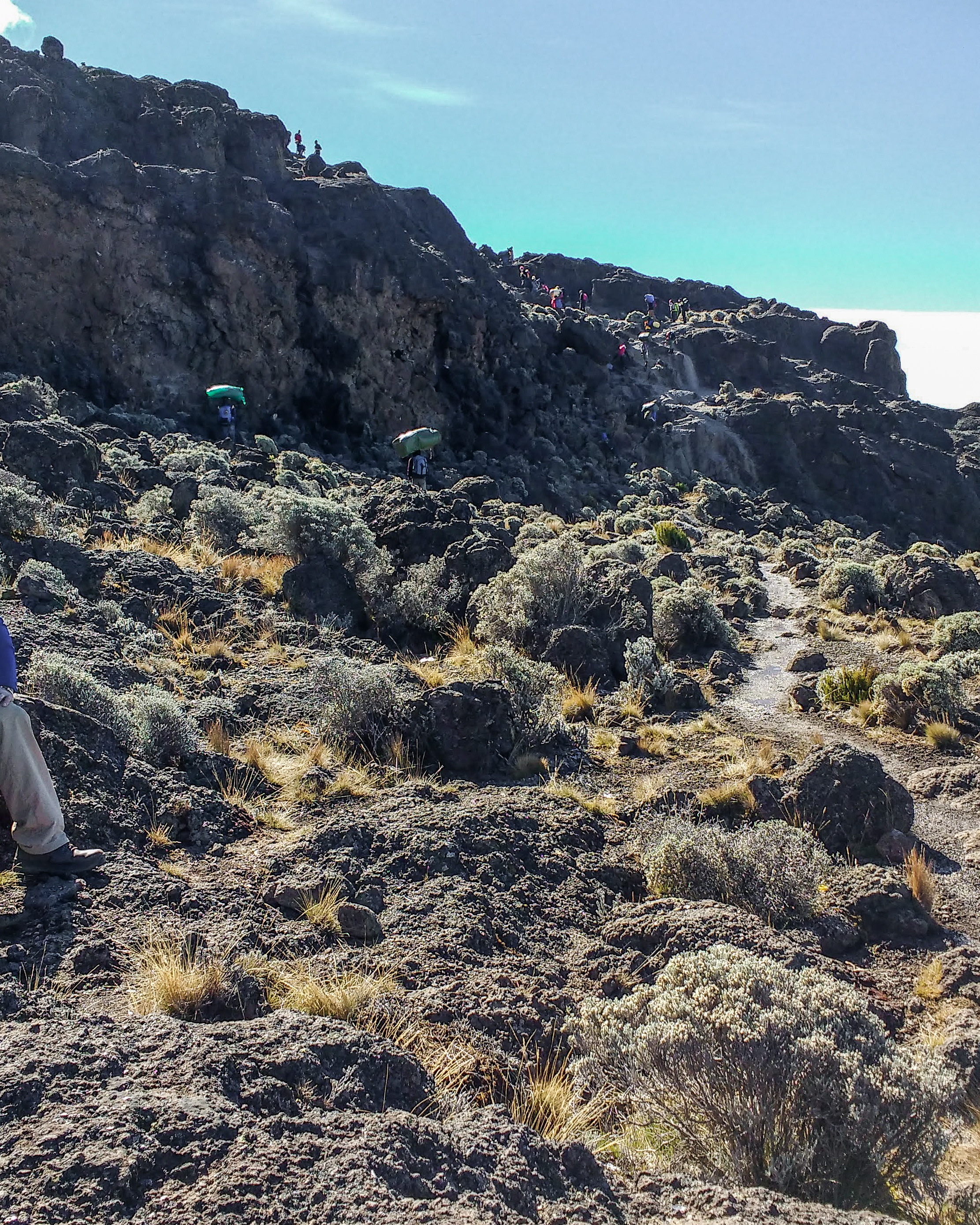
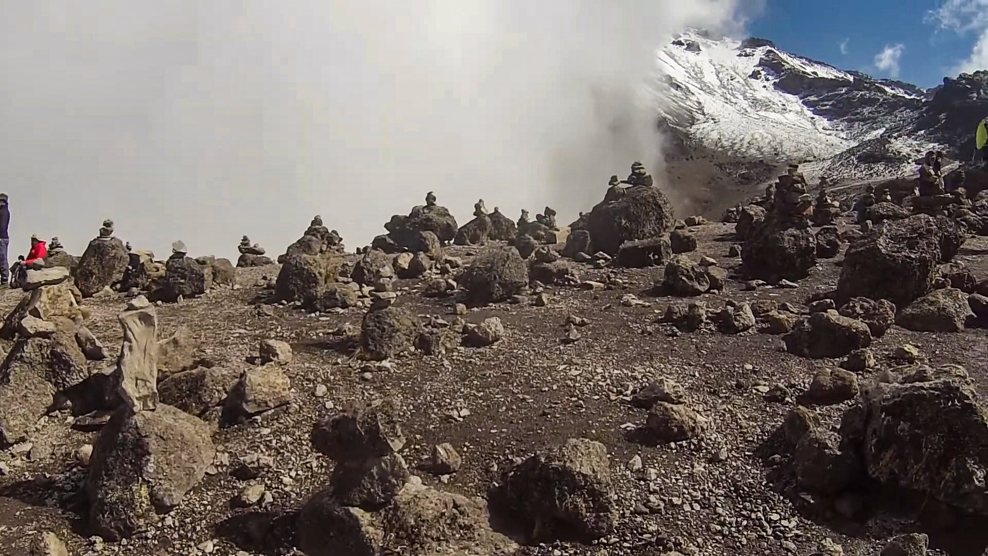
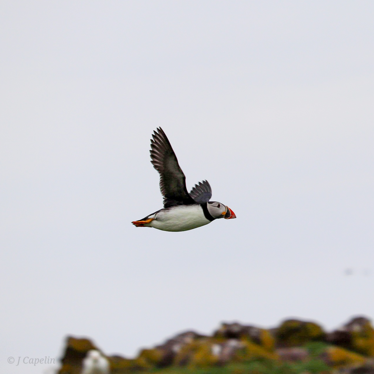
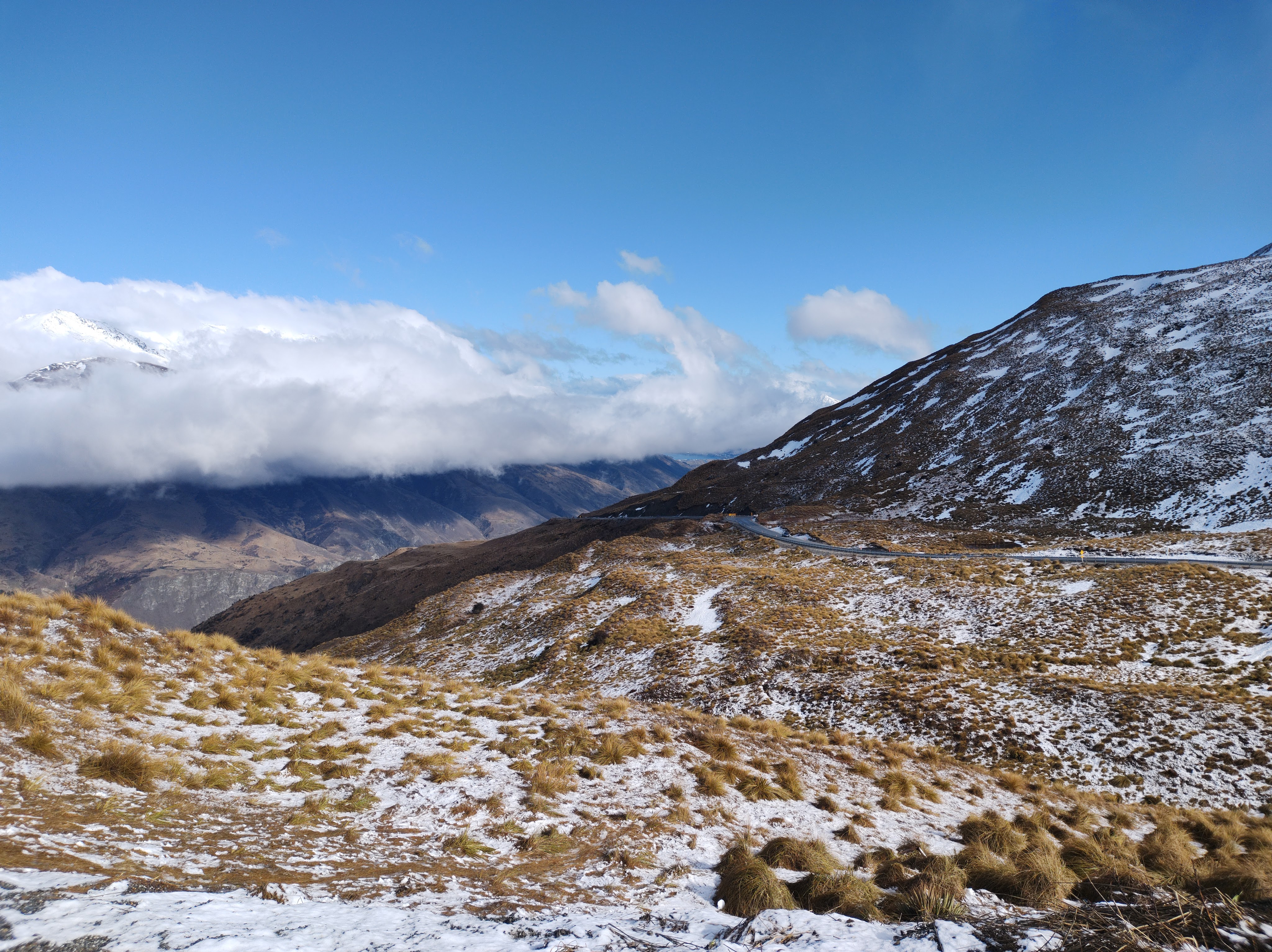
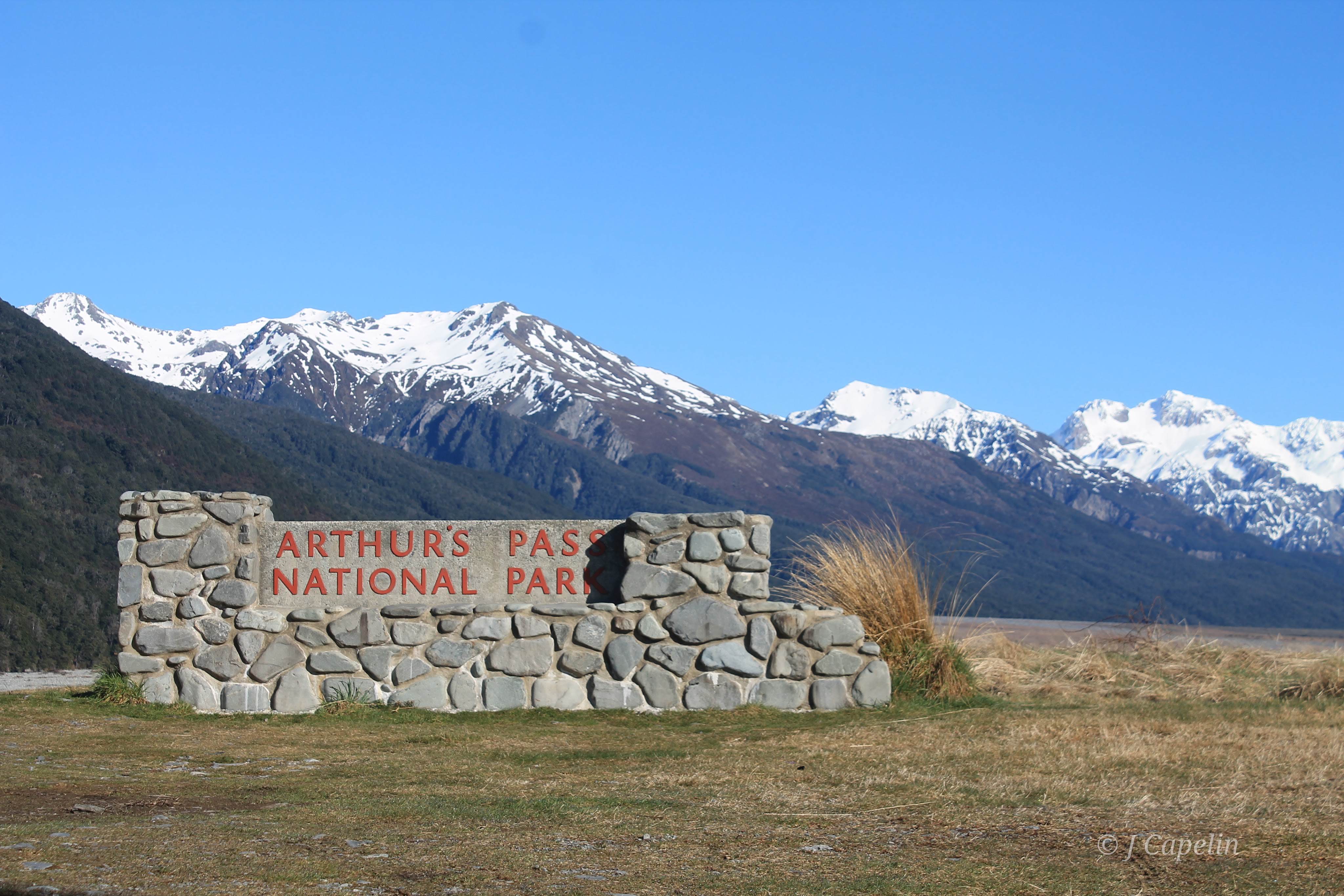
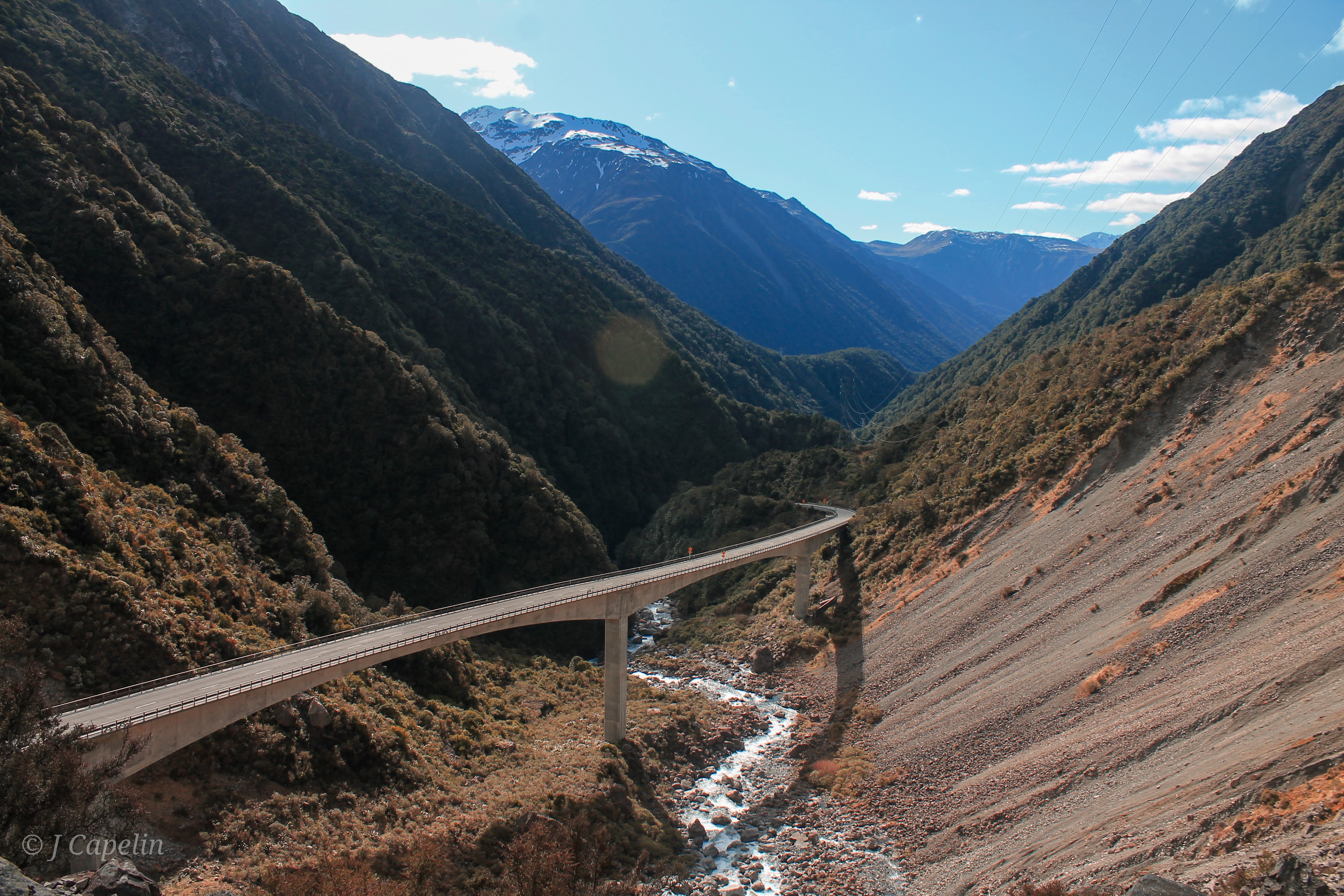
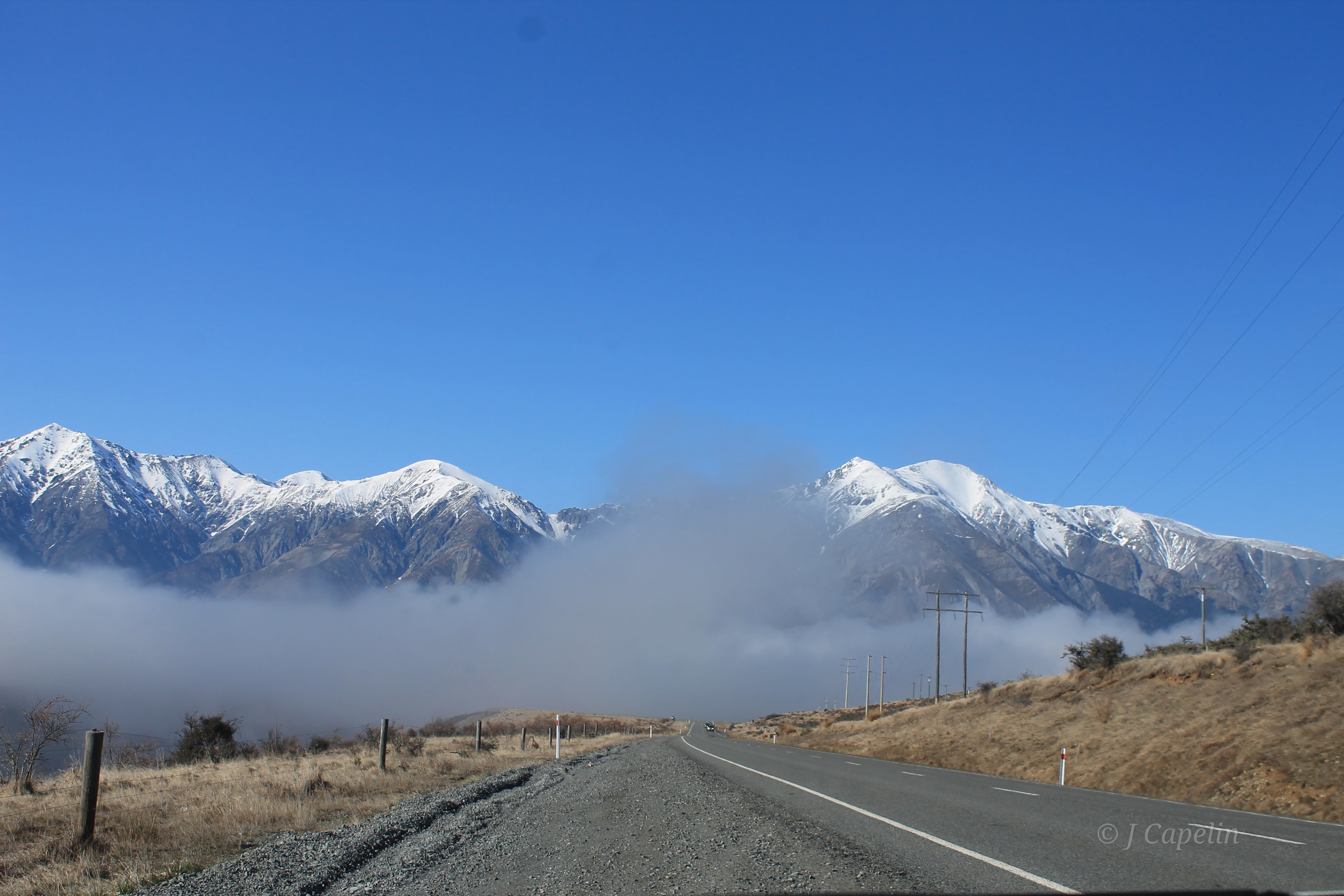
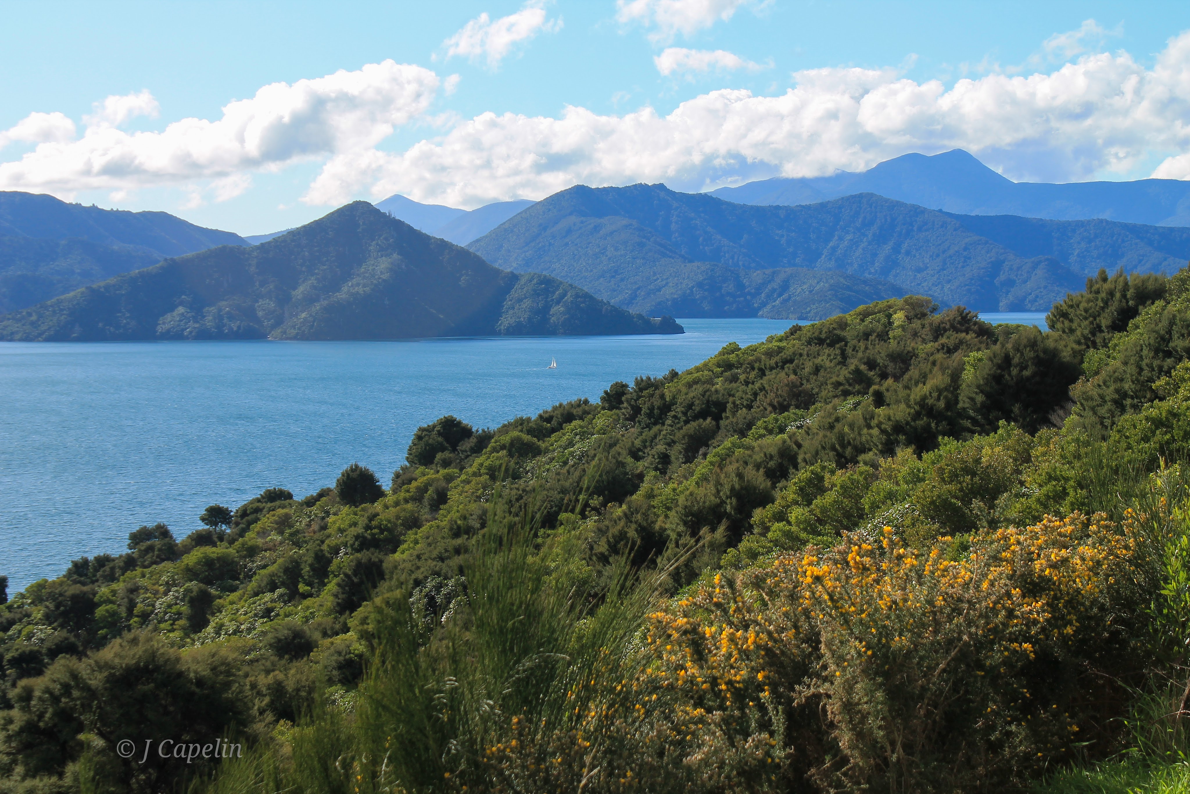
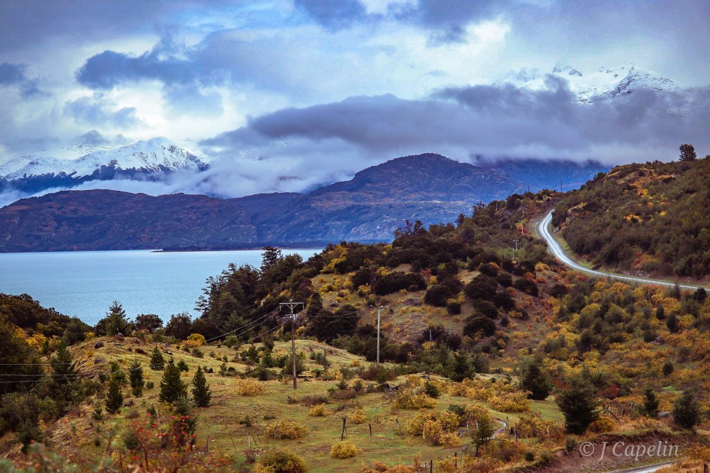
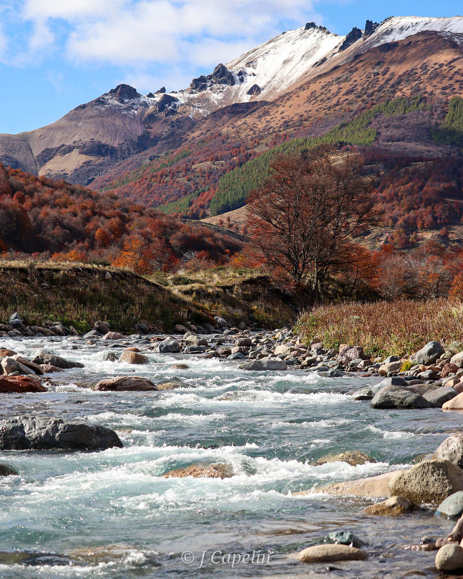
We follow Route 7 south along the Carretera Austral, eagles and the odd condor soaring alongside the dark mountains in the distance. The dramatic landscape seems to get closer, sloping forests of vibrant fiery shades, and a brilliant blue river that snakes and tumbles alongside the highway. Past the tiny town of Villa Cerro Castillo, the road winds through a dramatic valley, when suddenly, the road surface ceases to exist! Rumbling off the smooth asphalt onto dirt and gravel, this isn’t the end of the highway. No, this is just the beginning.
Carretera Austral
Due to the nature of the landscape, the Carretera Austral is a constant work in progress. At least 50% of the 1,240km highway is unpaved. The sheer length of the route, mixed with its remote position, and seasonal storms, means that there isn’t any point trying to pave the southern half, as it will need redoing before it even gets finished! Workers re-level and patch up the gravel highway in sections all year round, so you will always find roadworks somewhere along the way.
Rain smudges the windscreen with hues of grey, not a view in sight, just an endless gravel road blurred at the edges. No one speaks for tiredness and concentration. There was much discussion in the planning stages of this Chile trip, whether or not we should go to Patagonia. Of course, everyone wanted to, it was just a matter of time and money, as it would be a short side quest to the main trip. We knew it was coming into the down season; that the weather might be awful, and a lot of places would be closed. We also knew we’d only have time to visit one part. So if we couldn’t do Patagonia ‘whole-heartedly,’ should we do it at all?
Best Seasons for Travelling
High Season: Dec – Feb (Summer)
Pros: Mild temperatures, better weather, vibrant colours, active wildlife
Cons: Trails and attractions get very busy, high demand pushes prices up, it can be very windy
Shoulder Seasons: Oct – Nov (Spring) & Mar-Apr (Autumn)
Pros: Spring flowers or autumn colours, less crowded, cheaper
Cons: Unreliable weather, some tours may not operate, some businesses are closed
Down Season: May – September (Winter)
Winter in Patagonia is known for its freezing temperatures, wet weather, and lack of daylight hours. While it is peak ski season, travelling can be treacherous and you can expect flight cancellations and impassable roads. Many people who live in Patagonia leave during winter to escape the dark, isolating conditions. That said, winter is the best time of year to see marine life. If you travel to Patagonia during winter, be aware there are limited options as most places close, and be prepared with supplies and safety kits. Choose an accessible base with flexibility in case travel plans get cancelled.
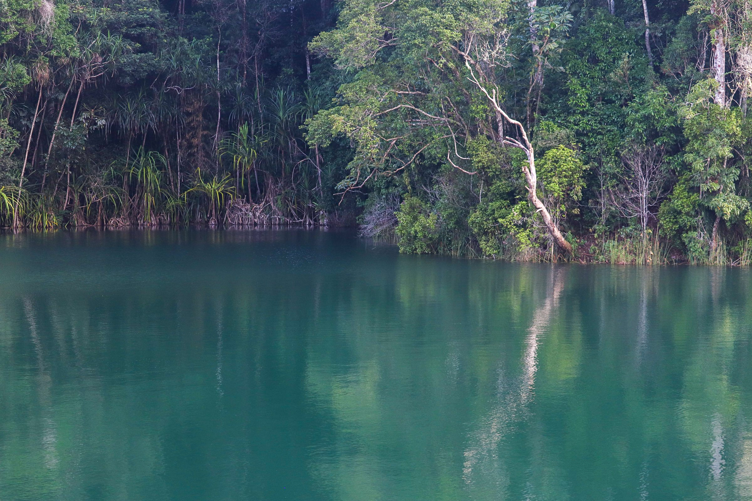
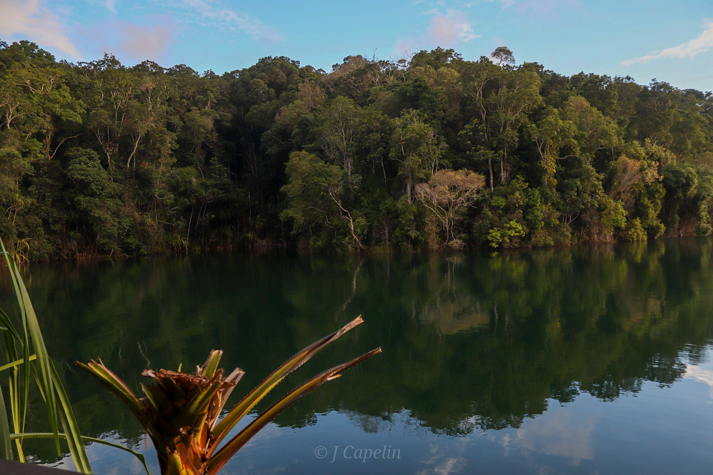
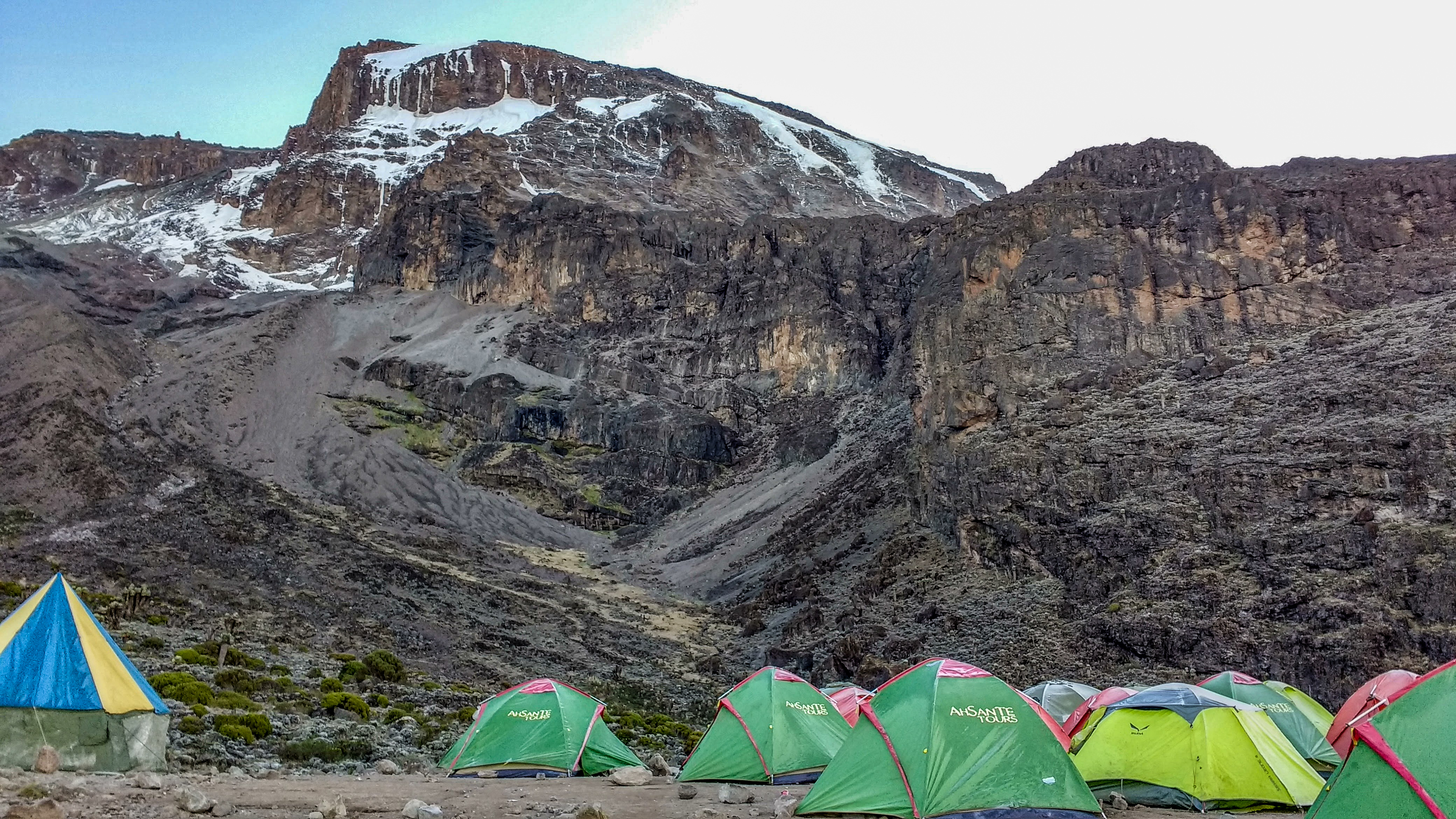
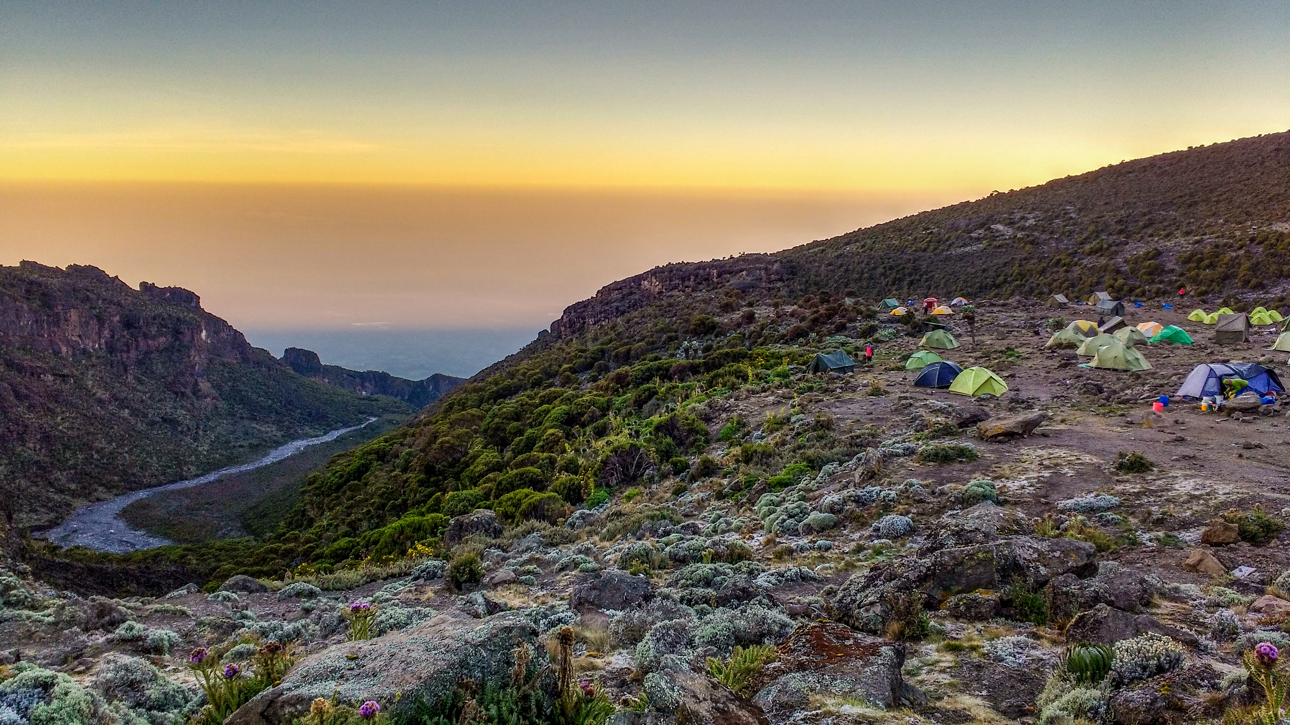
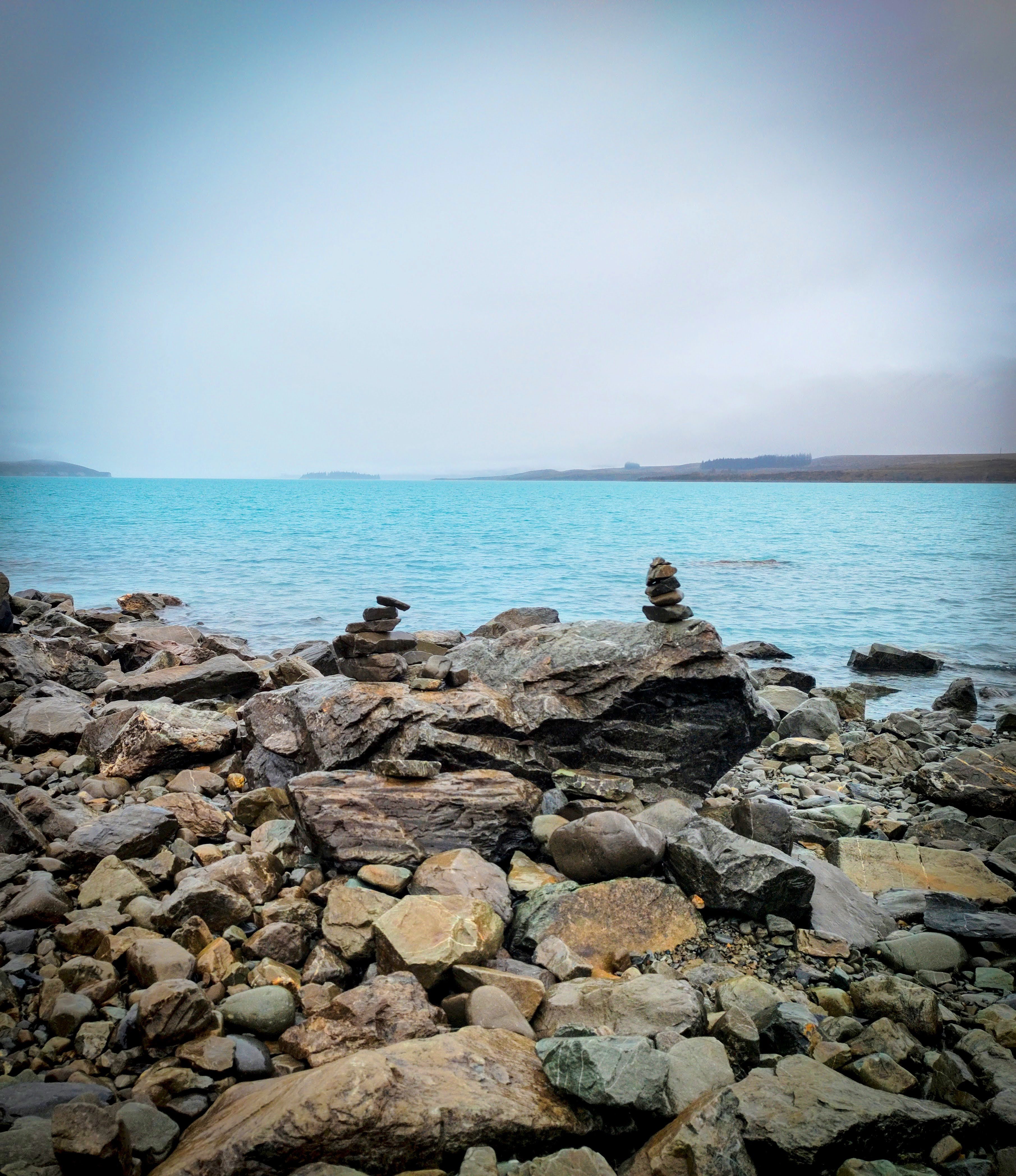
Night has fallen, somewhere between the clouded mountains and the rain, without anyone noticing. We finally pull in to our destination – Chelenko Lodge – private cabins on the General Carrera lakefront, about 20 minutes outside of Puerto Rio Tranquilo. We are all grateful for the warm, comfortable beds!
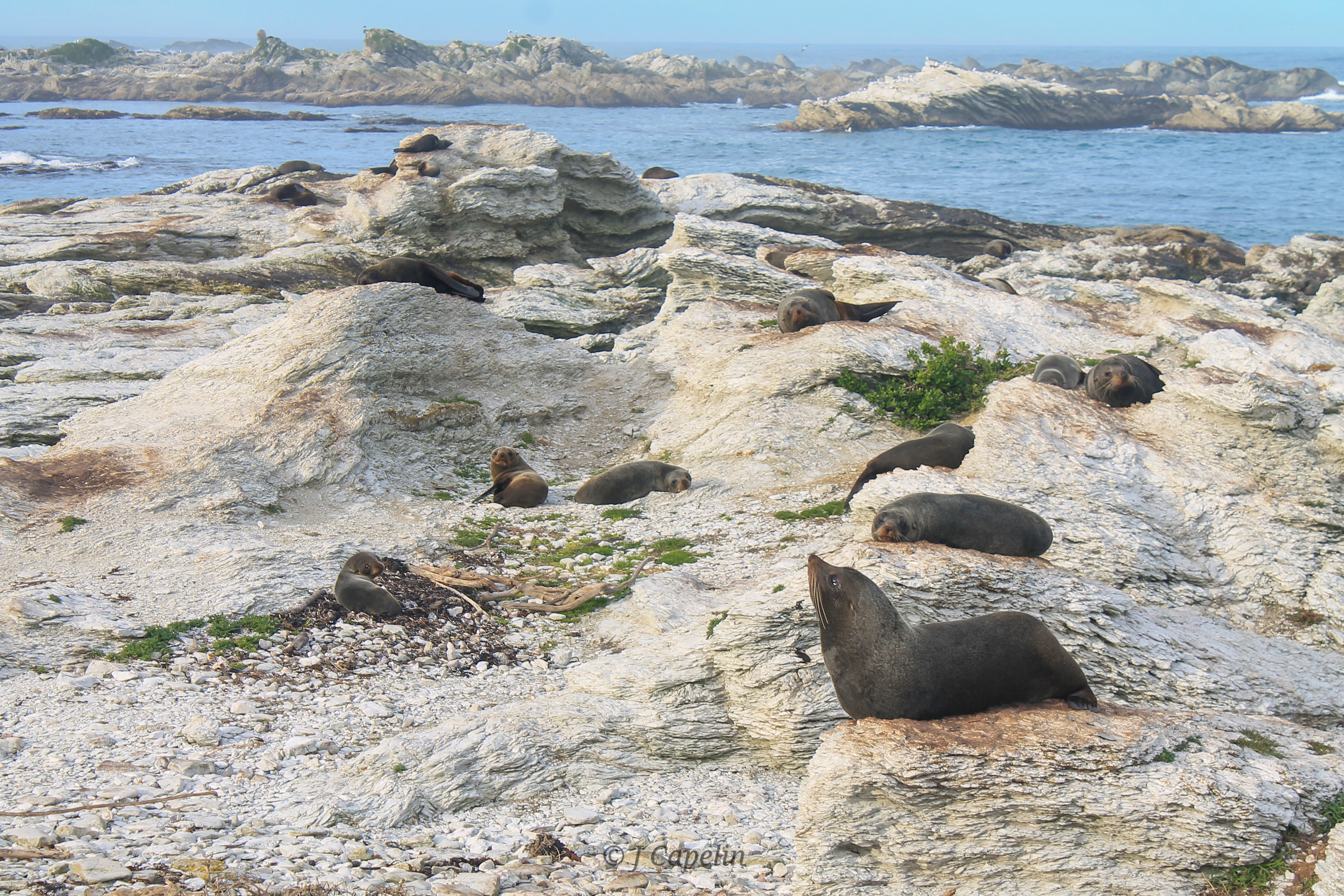
The Giants of Chelenko
‘Chelenko’ is the indigenous name of General Carrera Lake and means “turbulent waters.” It comes from the Aonikenk Tehuelche people native to southern Patagonia. These very people are the reason Patagonia has its name today. In 1520, Portuguese explorer, Ferdinand Magellan encountered the Tehuelche people for the first time, and was surprised by their height. Standing around 6ft tall, while the average European at the time was around 5ft 3, Magellan described them as giants, originally naming them ‘Patagones’ after a fictional monster, ‘Pathagón’ from a popular Spanish novel at the time, Amadís of Gaul.
Sadly, European colonisation devastated these indigenous groups, and their populations declined, assimilated and were displaced.
Morning arrives just as night fell – slow and discreet. The little town of Puerto Rio Tranquilo doesn’t awaken until later in the day, and there are no sights to be seen in this persistent rain cloud, so the morning is spent in our cosy cabin, drinking instant coffee, wrapped in a pile of duvet, watching a Huala bird dive for fish in the rain-tattooed lake.
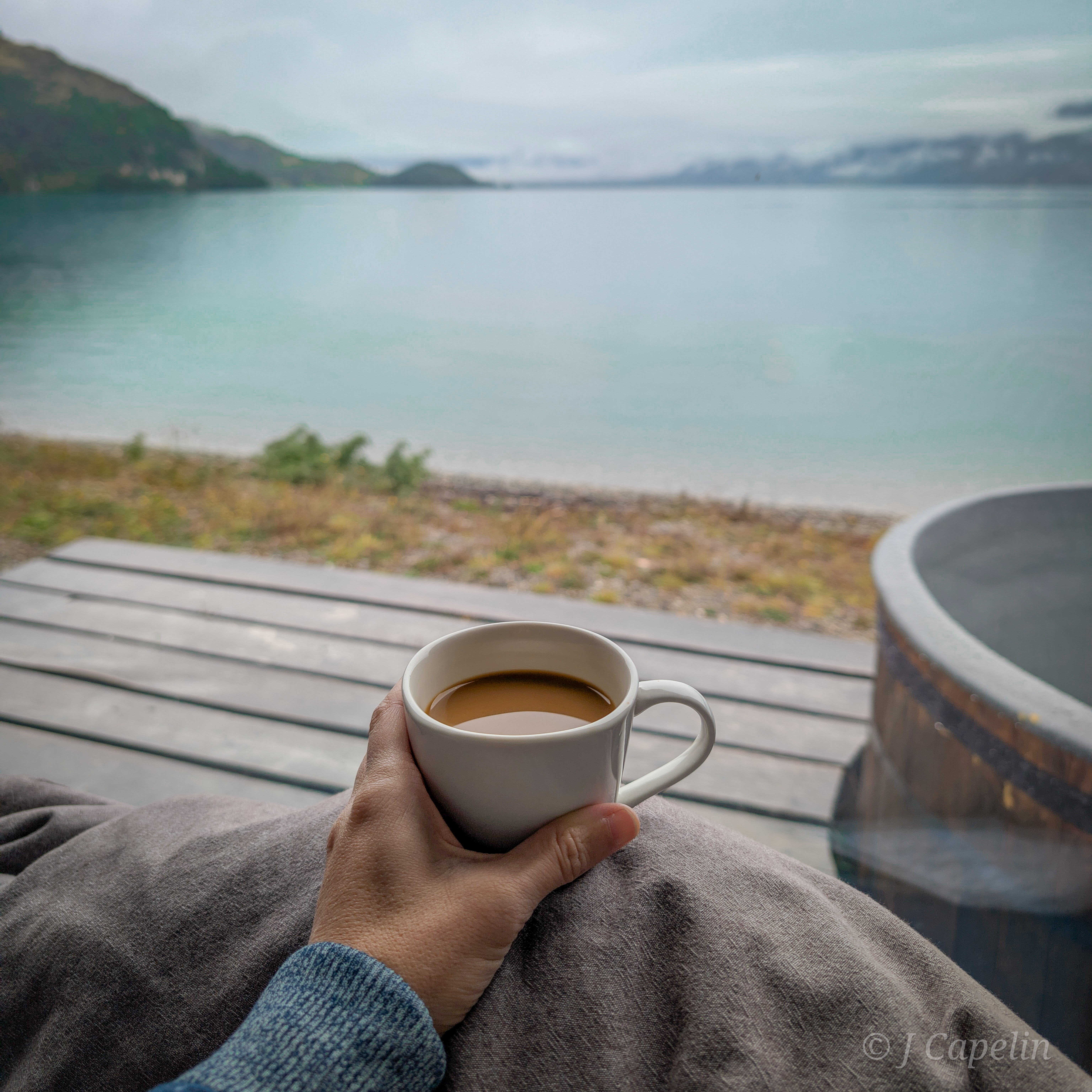
The light doesn’t improve as we approach midday, but Café La Estación – one of the cafes in town – is now open, and we enjoy another hot drink by their wood burner before trying our luck and venturing out for a drive. The stubborn cloud breaks as we leave Puerto Rio Tranquilo and the sky cracks open at the horizon ahead. A line of snowy mountains shines through the burst seam, the road shimmering with wet reflection. With a boost of enthusiasm, we follow the sky south.

The dirt highway winds and stretches before us, pines and colourful Beech trees either side; cows, goats and horses munching leaves on the verge. The clouds drift, opening windows of sky and snow peaks, gradually clearing to reveal tremendous panoramas around each bend.
We come around the lake’s edge, crossing a river and weaving around inlets where little boats are moored in pebbly bays lined with poplars. It all looks strangely familiar, and I have to remind myself I’m not in the Southern Lakes of New Zealand!
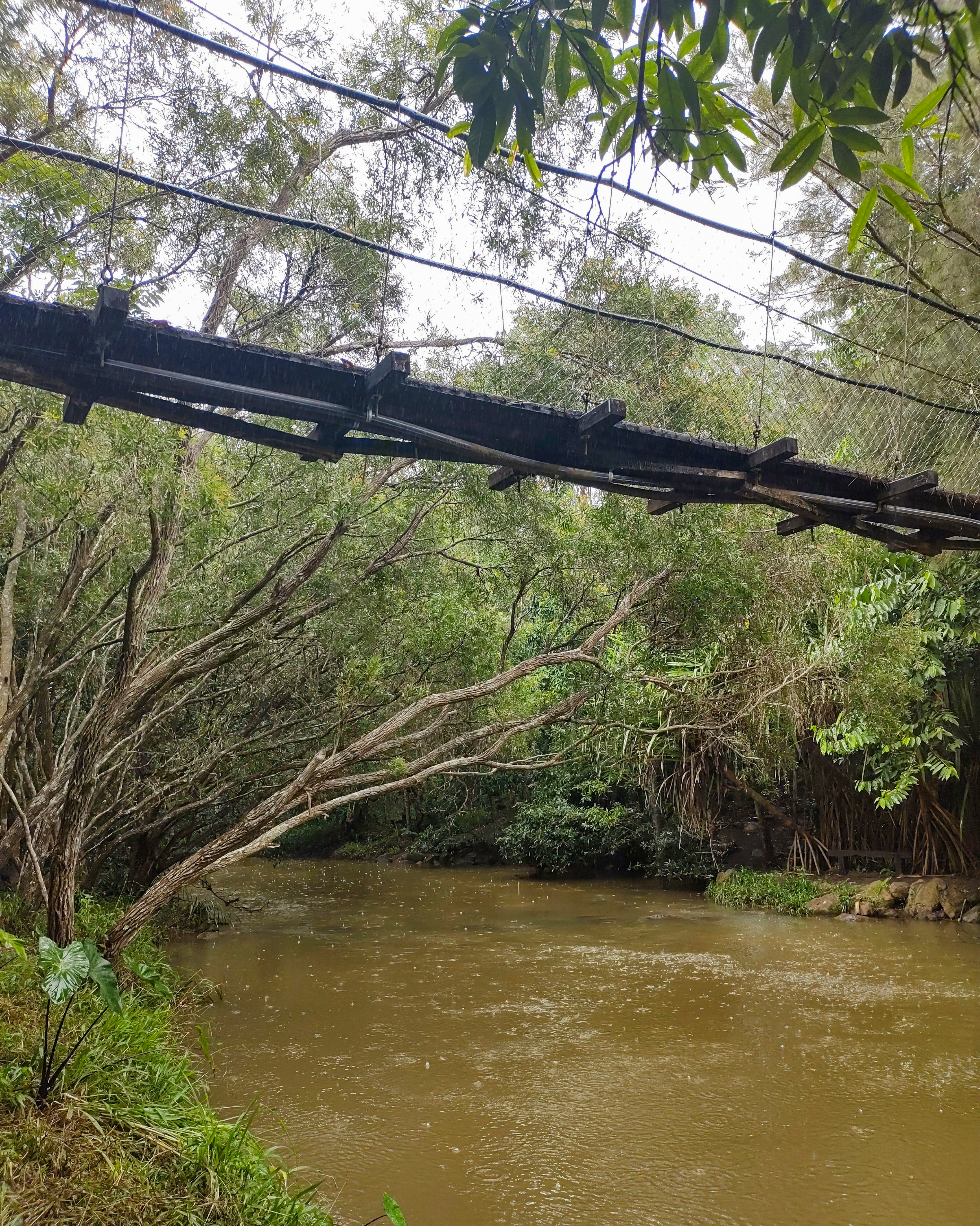
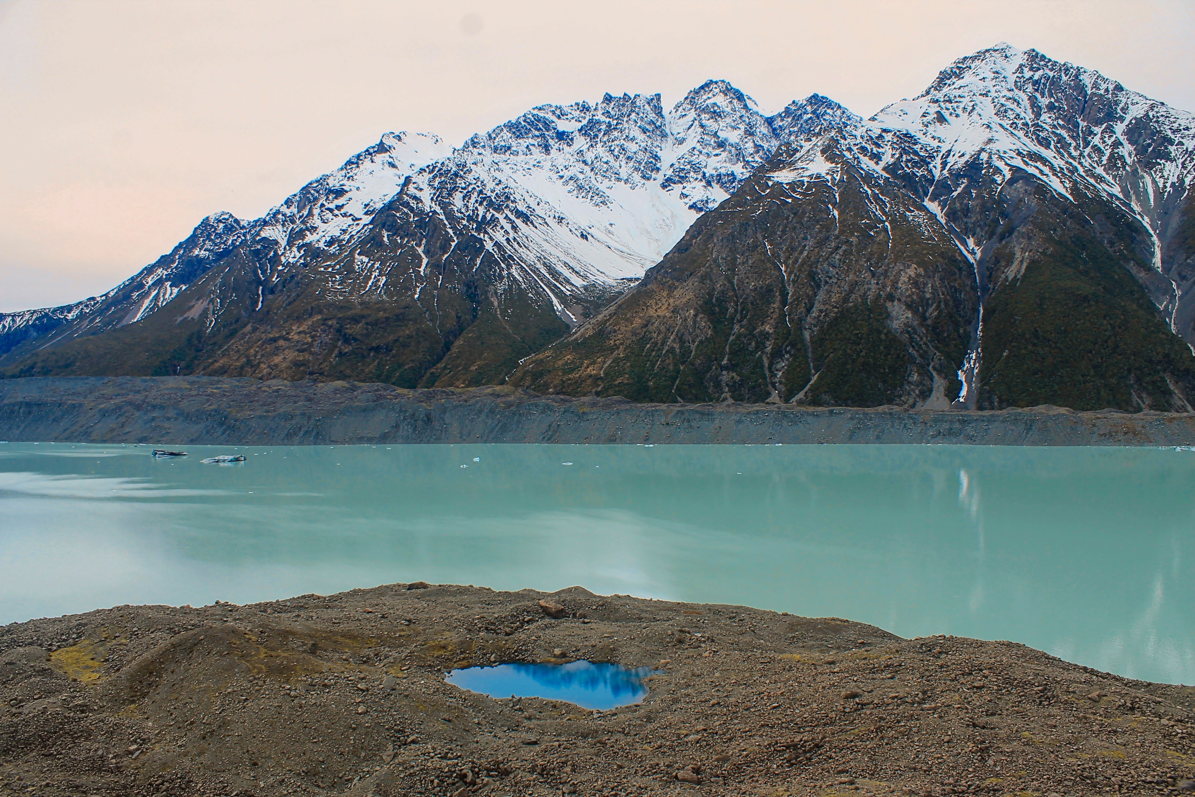
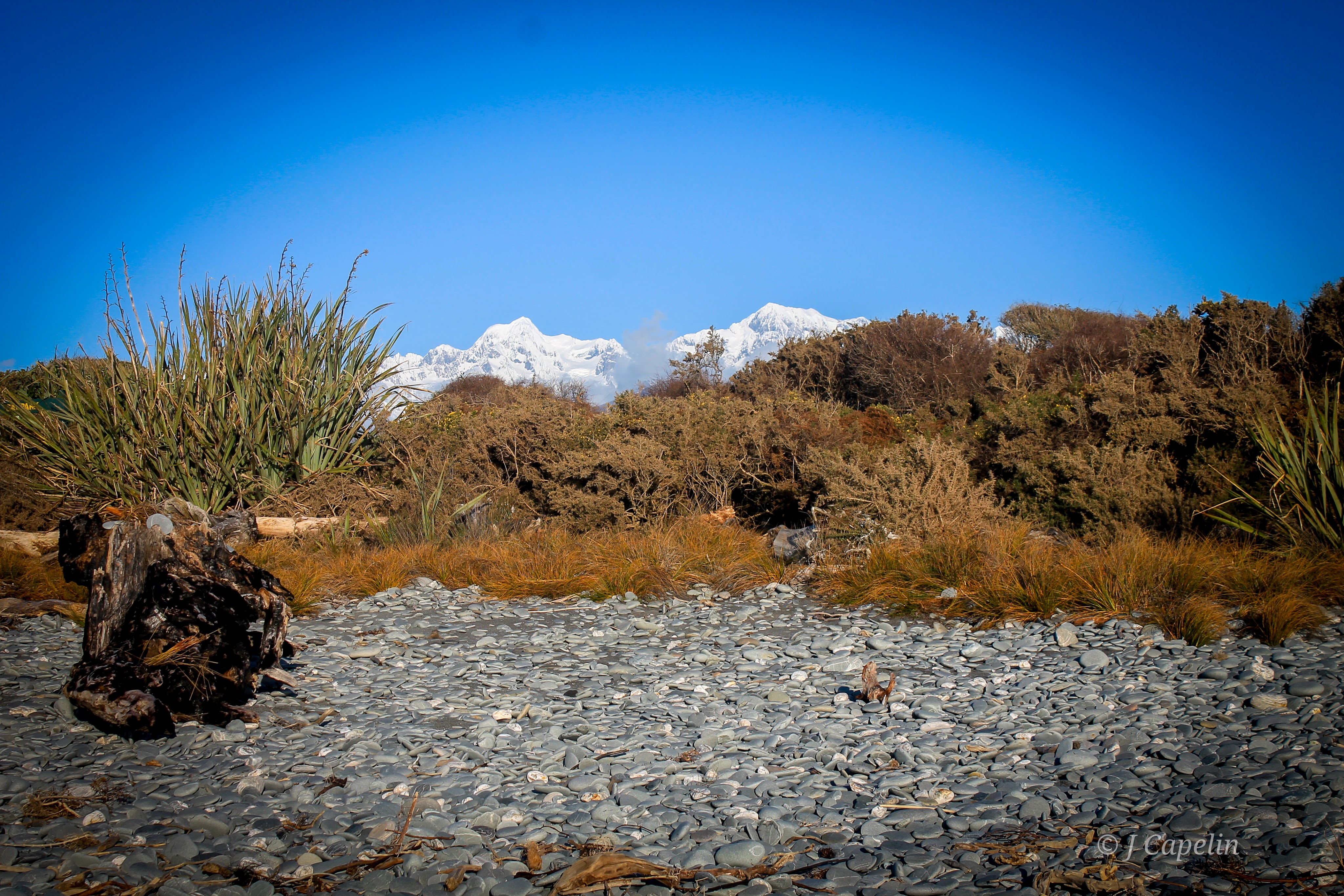
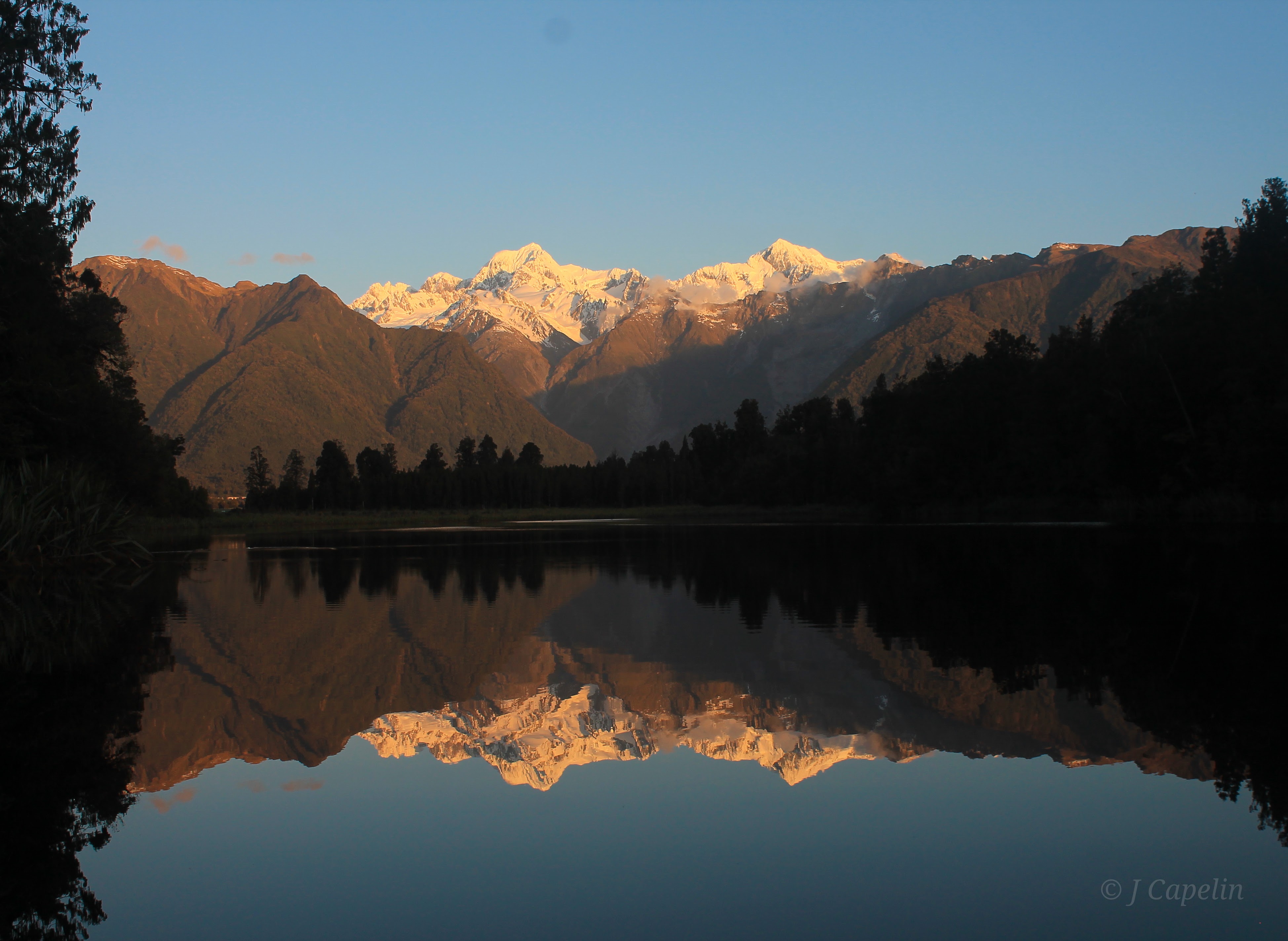
Rounding a corner, we come to a little red suspension bridge, as if someone has stuck a Golden Gate Bridge miniature out here. It crosses the turquoise cascades where Lake Bertrand and General Carrera meet. Between two steep headlands, Lake Bertrand stretches beyond, reflecting an enormous mountainscape, layered white with glaciers – the edge of the Northern Patagonian Ice Field.
The Patagonian Ice Fields
Once upon a time, around 21,000 years ago, Patagonia was covered by one giant ice field, like Antarctica. Nowadays, there are three smaller remnants in the high altitudes of the Patagonian Andes; the Northern Ice Field, the Southern Ice Field, and the Cordillera Darwin Ice Field at the very bottom of the continent. These three ice fields are still the largest area of ice in the Southern Hemisphere outside of Antarctica, and if they melt, the sea level will rise 15mm all around the world!
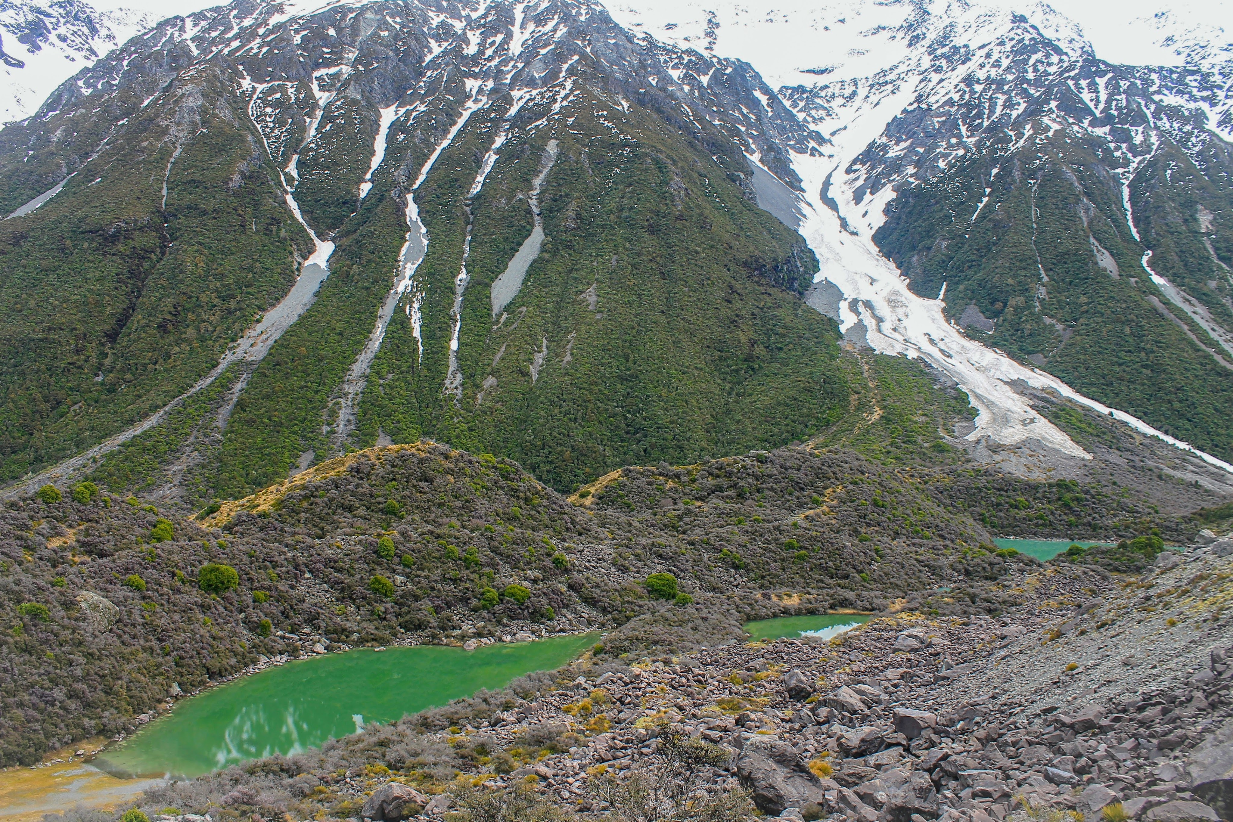
We arrive at a fork in the road, where the Carretera Austral leads up a steep ledge to El Mirador Tres Lagos – view of the three lakes.
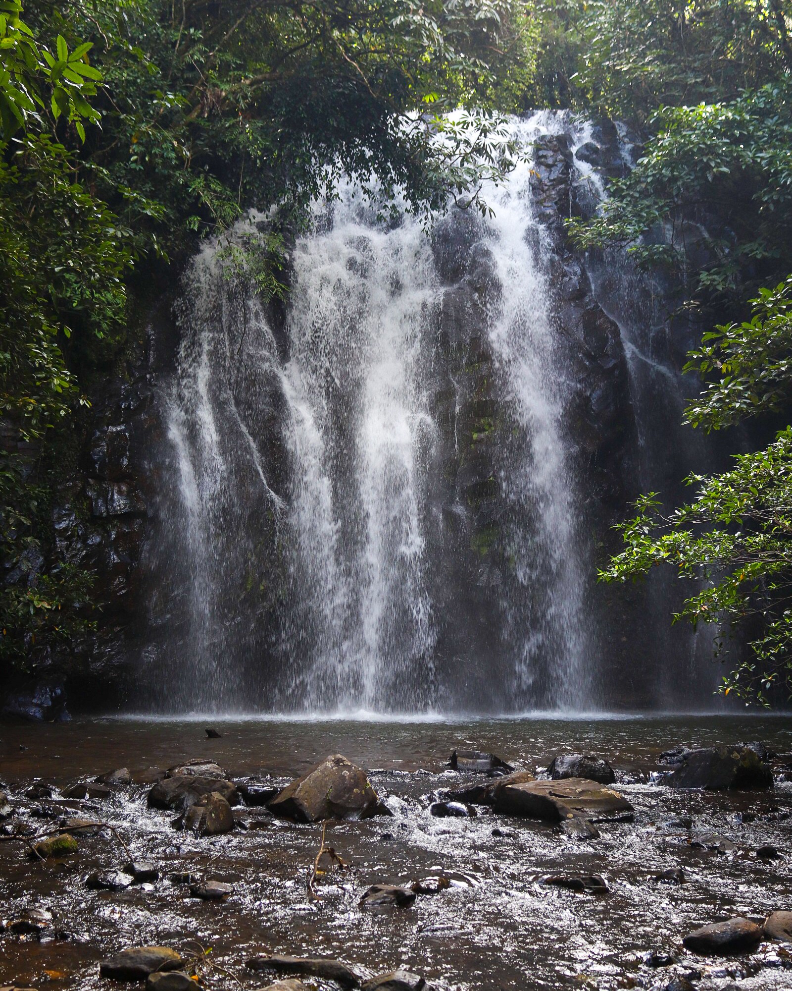
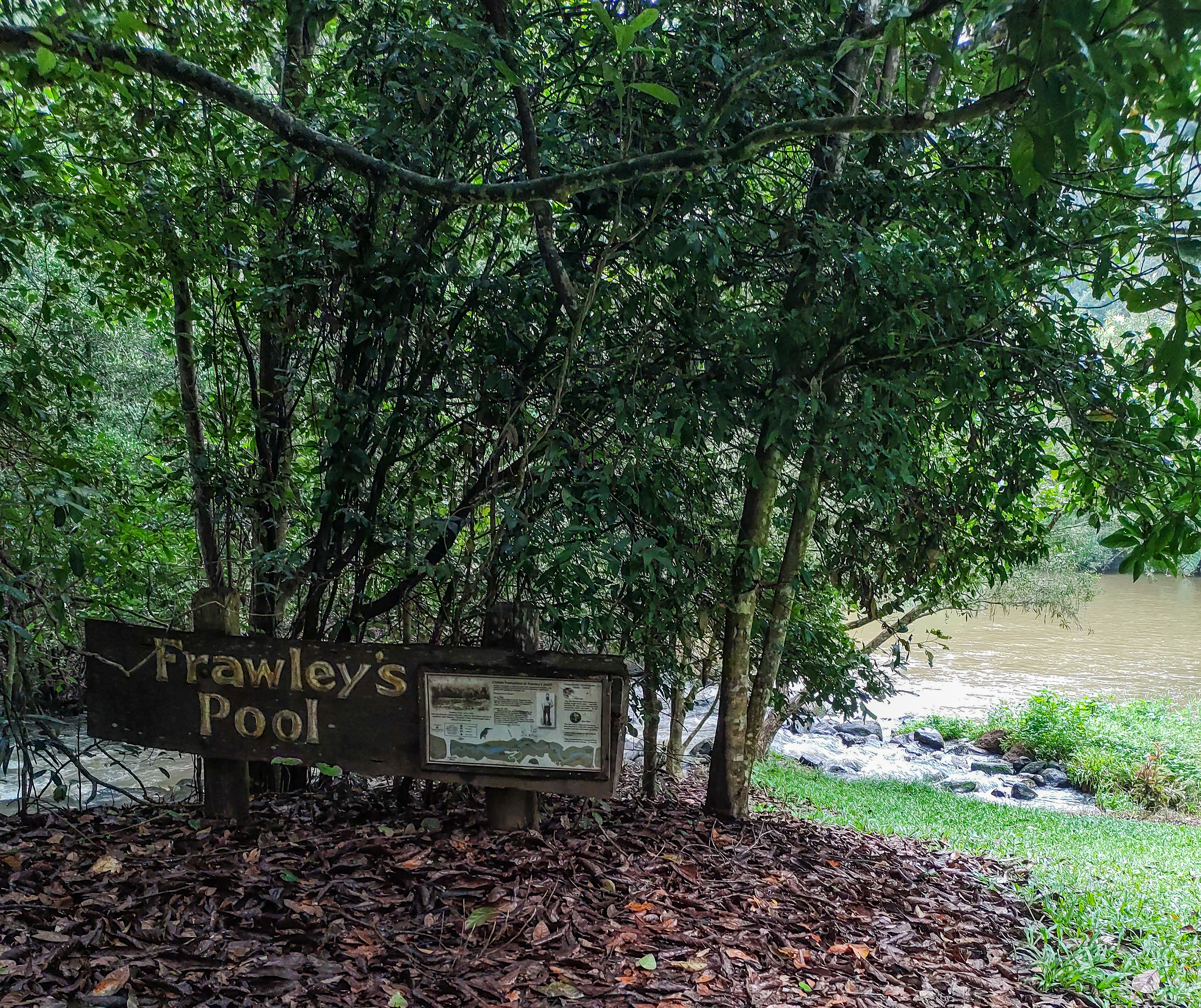
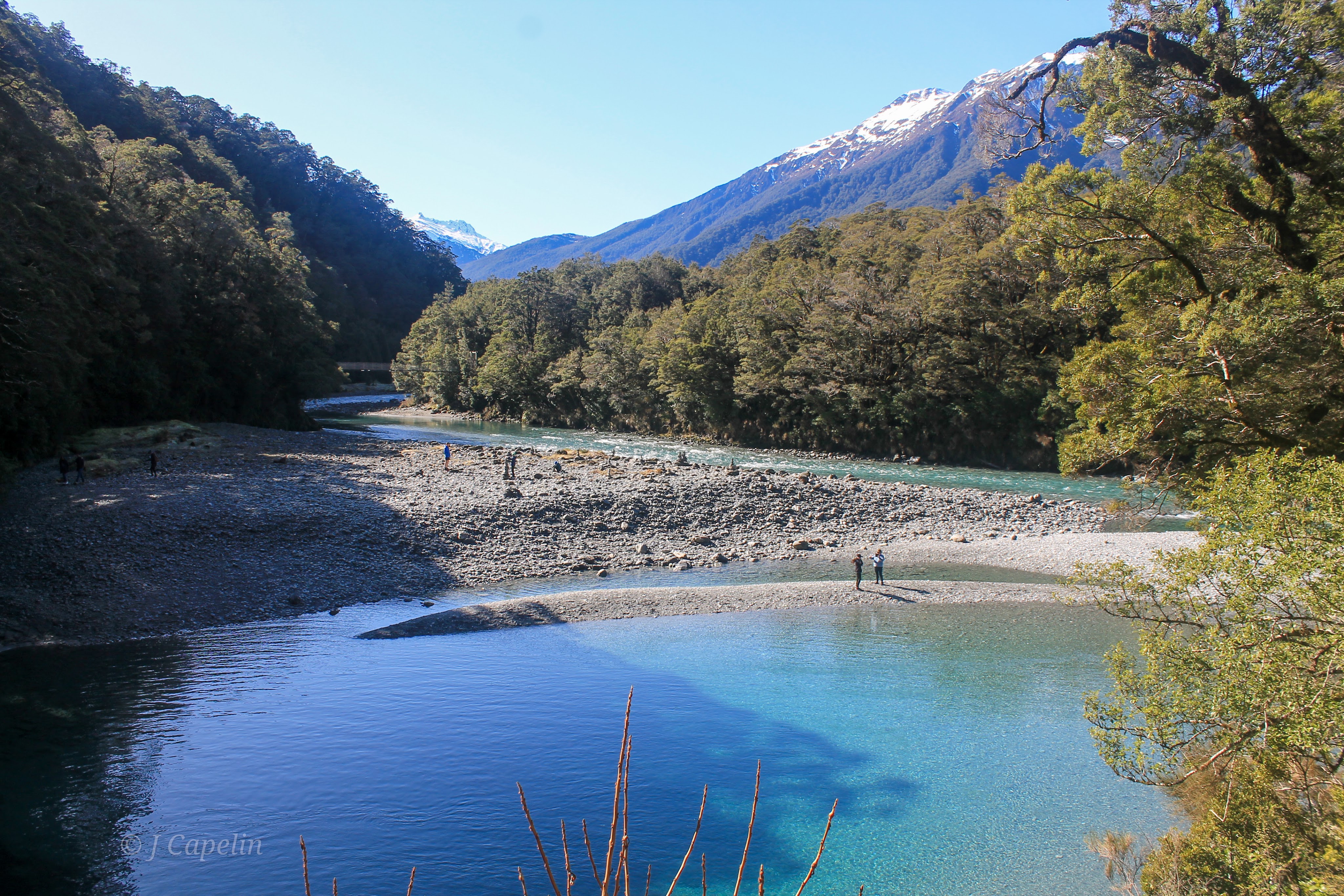
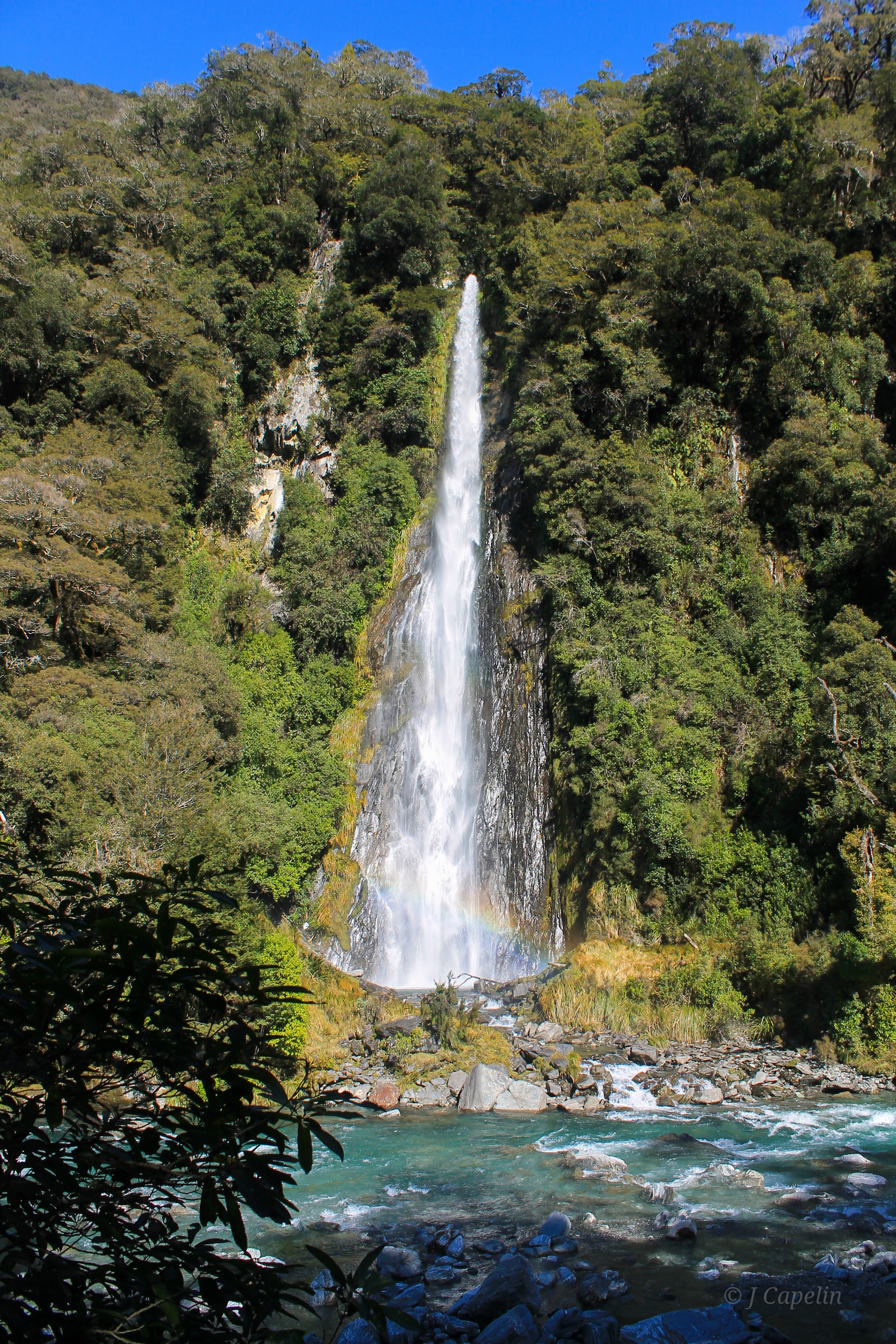
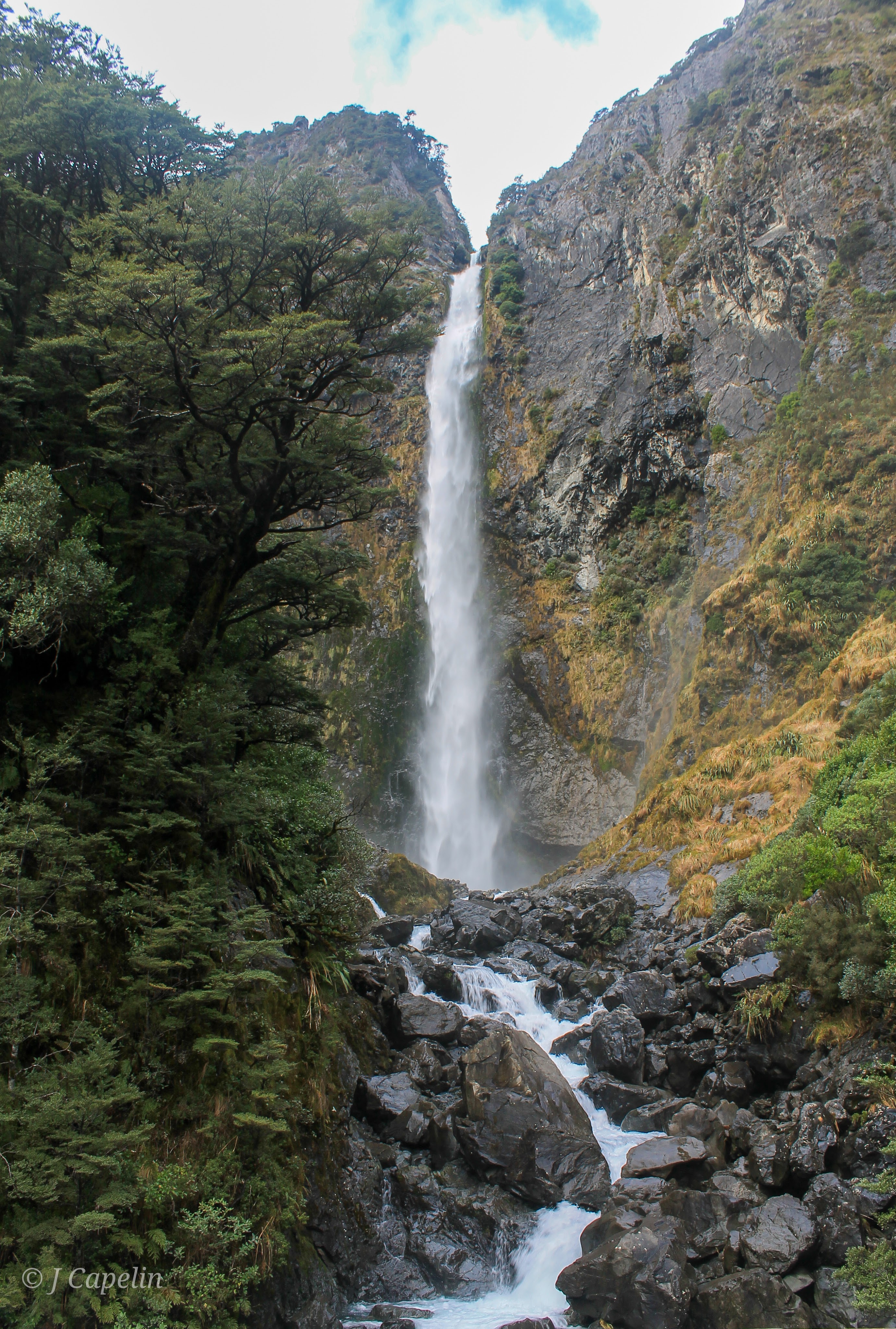
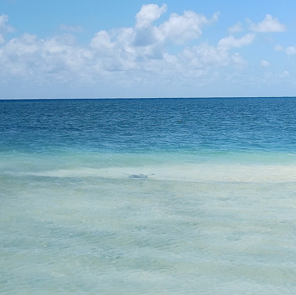
At the fork, we head along Route 265 around the southern side of Lago General Carrera, through the pretty little commune of Puerto Guadal, where dogs and chickens chase each other in the quiet residential streets. A little way out of the town is the spectacular Cascada El Maqui – a waterfall, which you can see from the road cascading down the hillside, and a short drive onwards is Playa Larga. This beautiful lakeside beach provides impressive mountain views and water so clear it could be textured glass. We see someone coming out of the freezing water in their swim shorts, and we are not inspired to copy!
Lago General Carrera
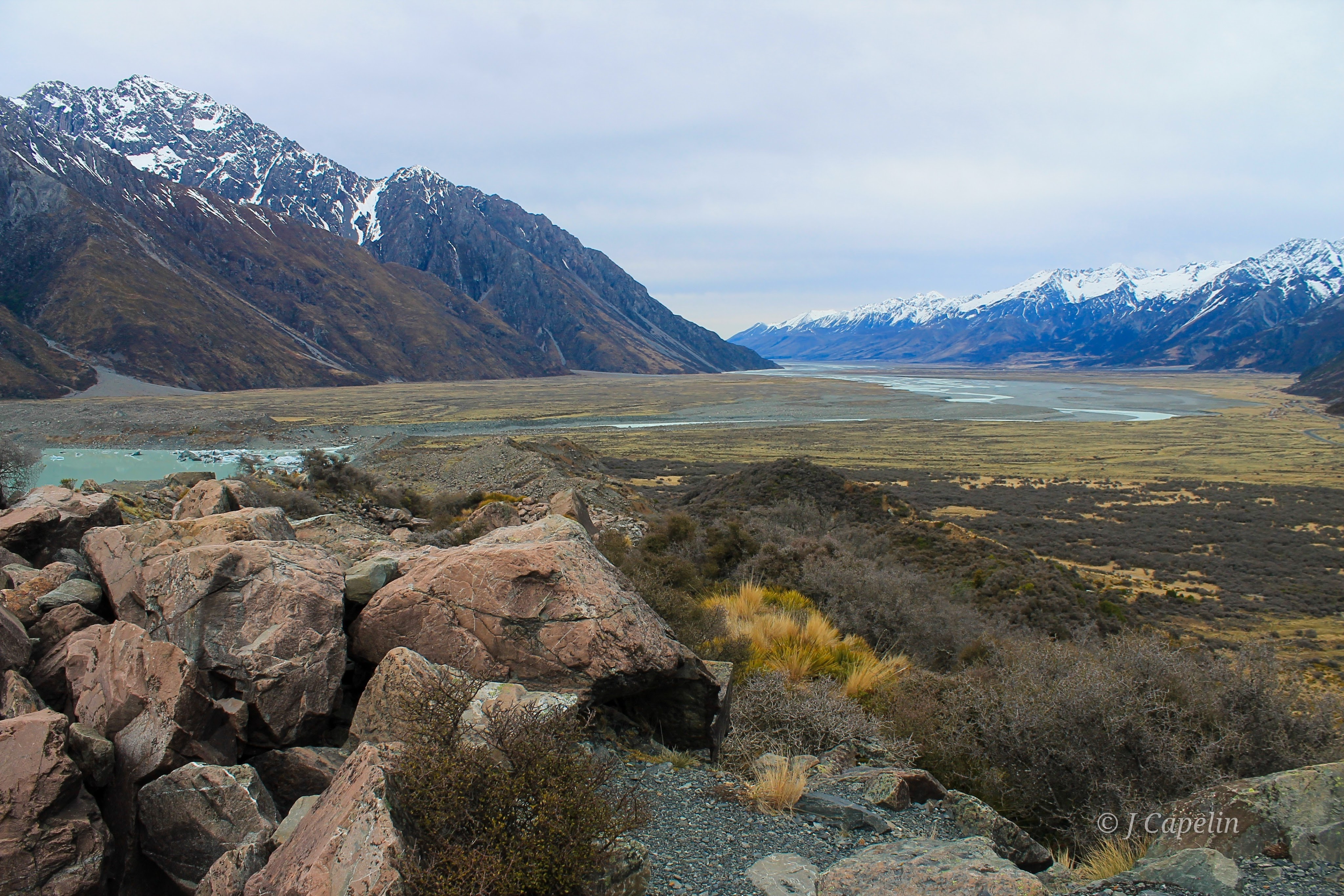
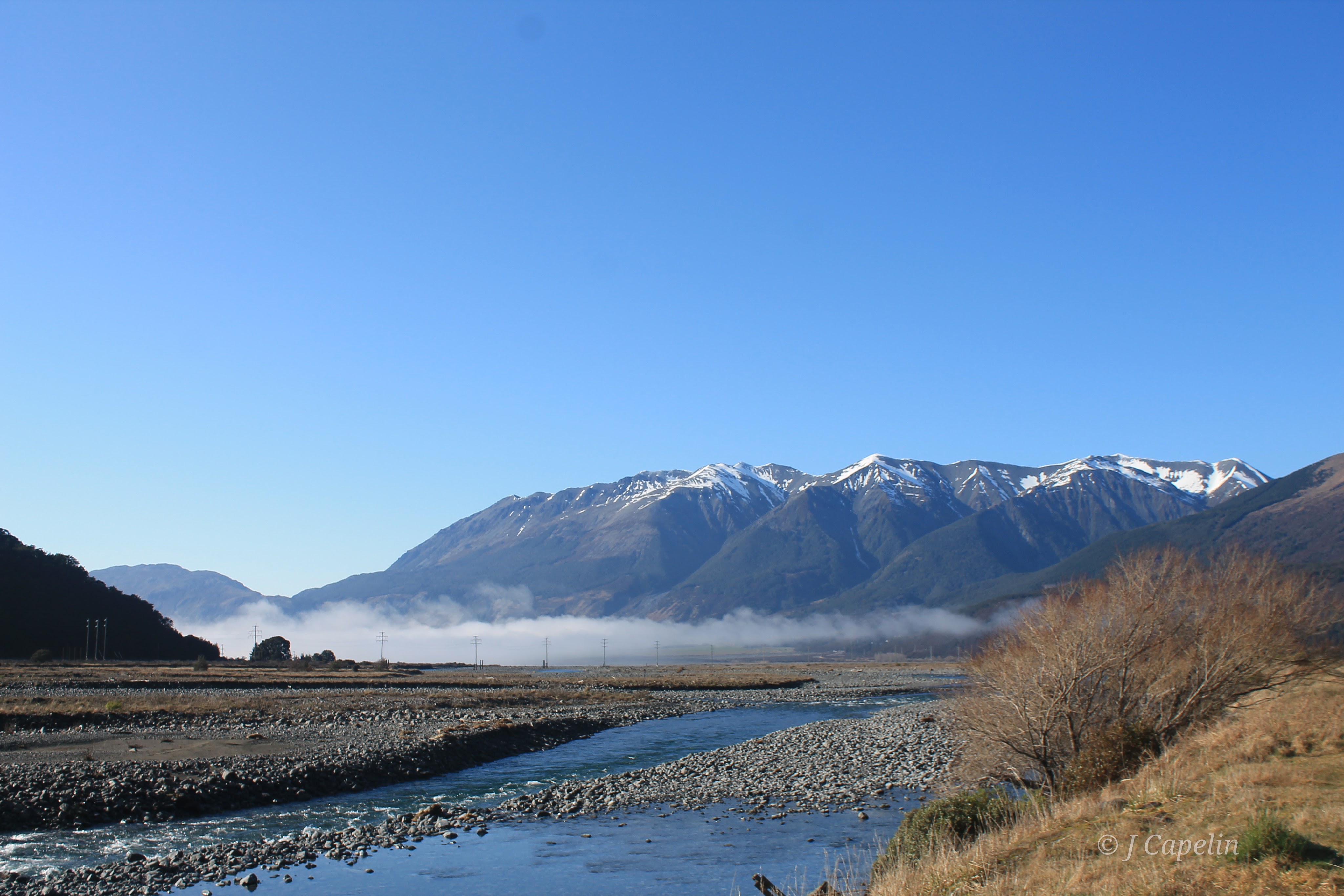
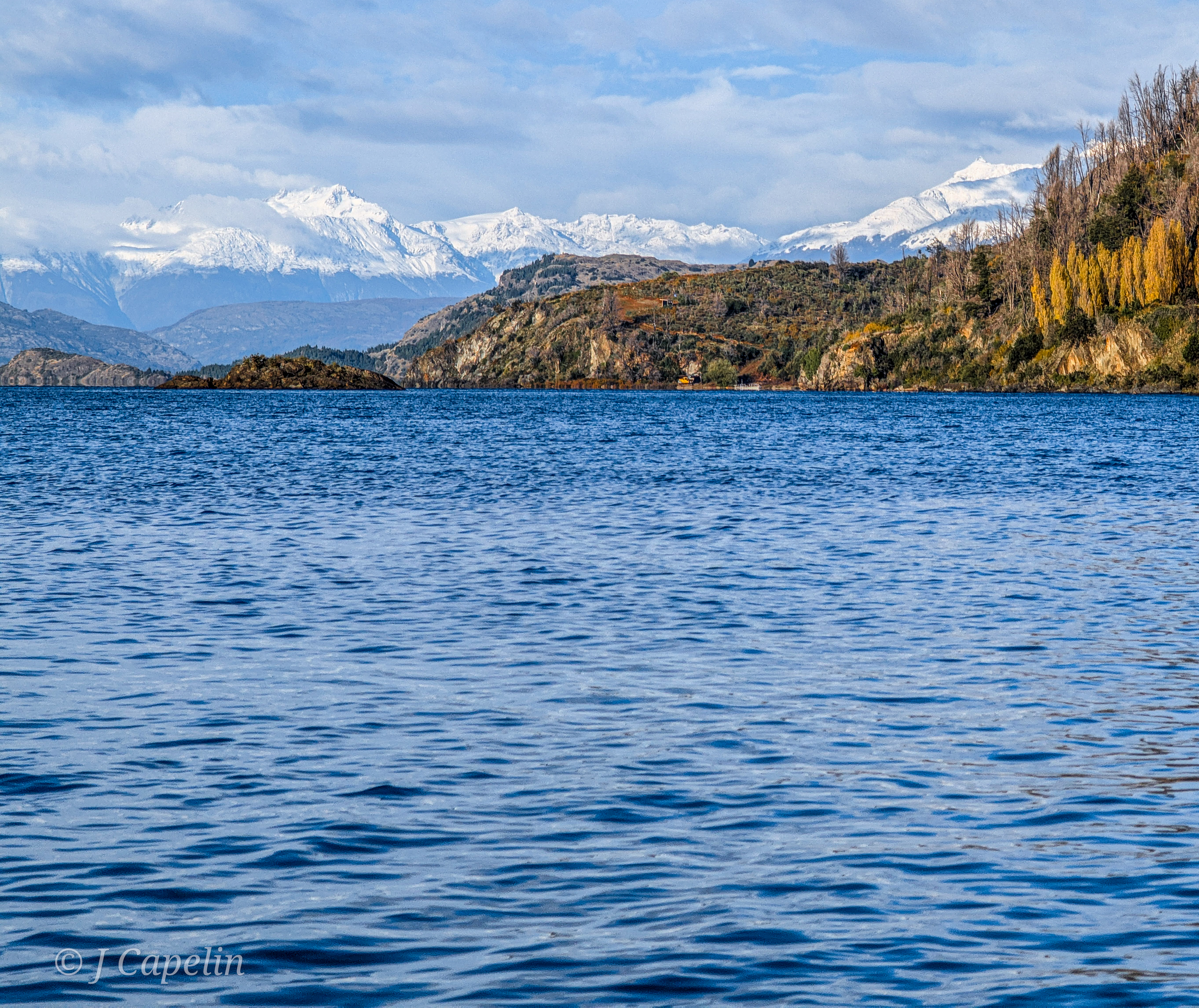
Yes, this is still General Carrera Lake, or ‘Chelenko.’ Playa Larga is a 67km drive around the lake from Puerto Rio Tranquilo, and is still only on the western tip, so we’re essentially dipping a toe in the massive region. General Carrera is both Chile’s and Argentina’s largest lake, with an area of 1,850km². The border of the two countries runs through the middle of the lake, meaning it has two official names: Lago Buenos Aires in Argentinian, and Lago General Carrera in Chilean. It would take approximately 12 hours without stopping to drive around the entire lake.
The drive back brings yet more perspectives, and with the late afternoon sun now shining, there are new shapes and colours in the landscape. A herd of goats decide to guide us slowly along part of the track.
As we turn around the next corner, a new view appears before us where mist had lingered earlier. Little sun-brushed islands pebble-dash the flat lake; a great swooshing cloud over them indicating rain. In shadow beyond, a line of snowcapped mountains peer out from the cloud, and to the left, one of the brightest rainbows I’ve ever seen pours from the cloud into the lake.
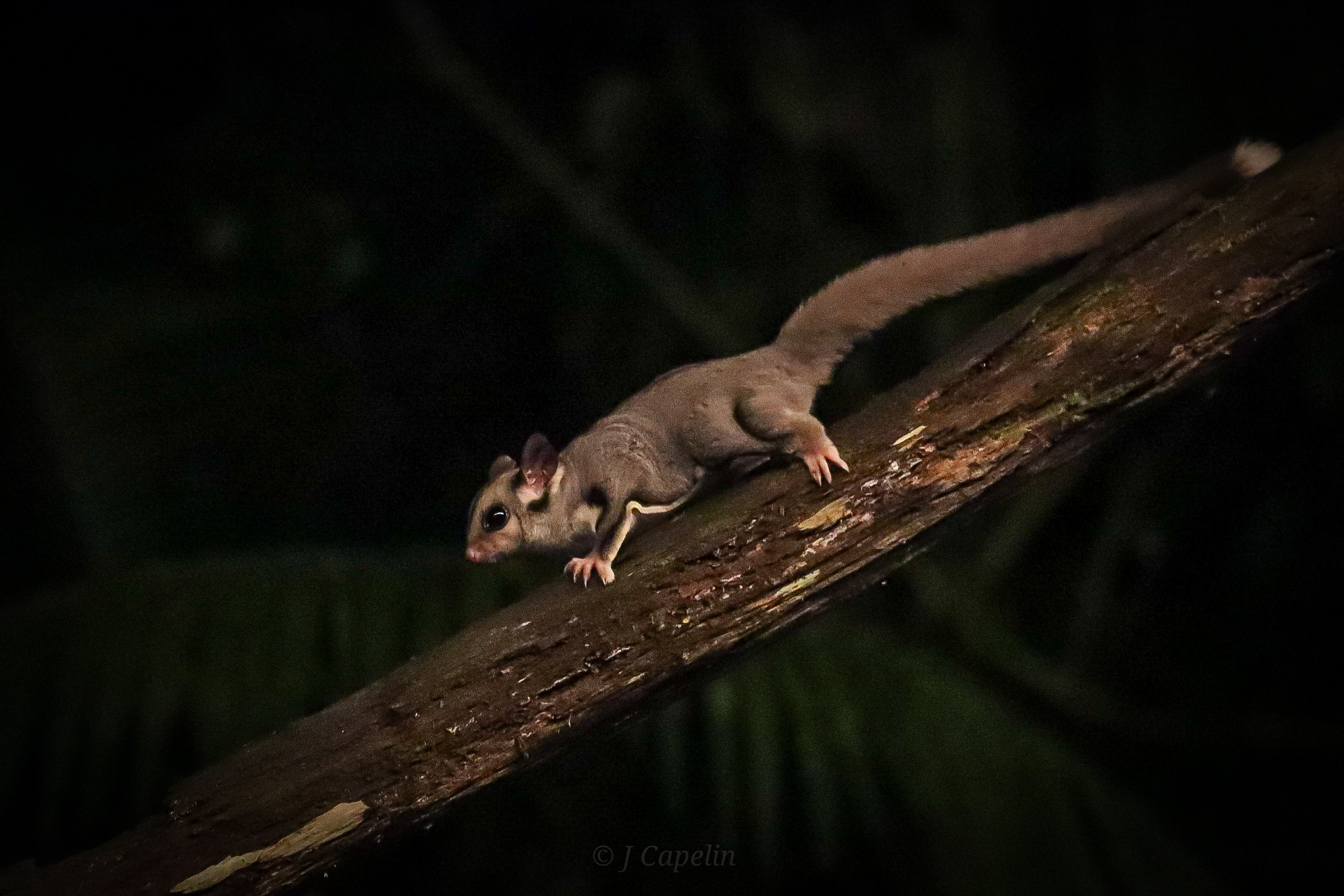
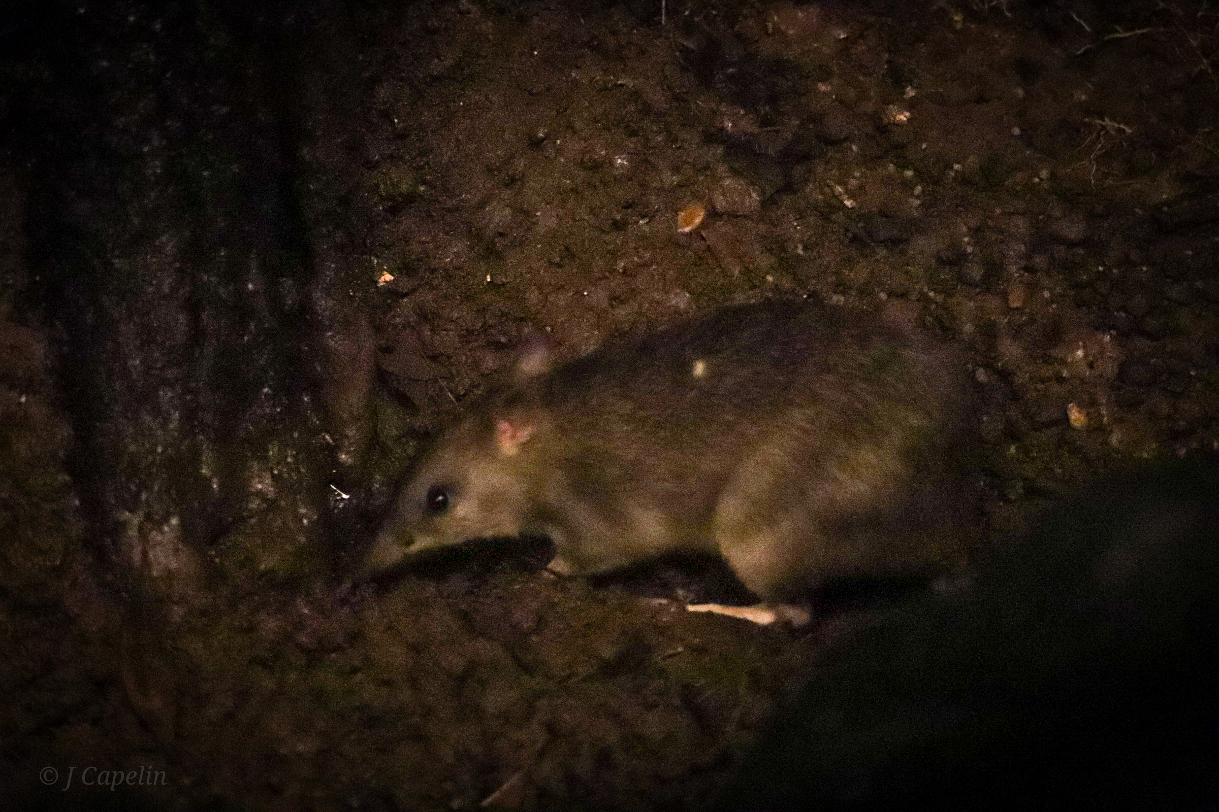
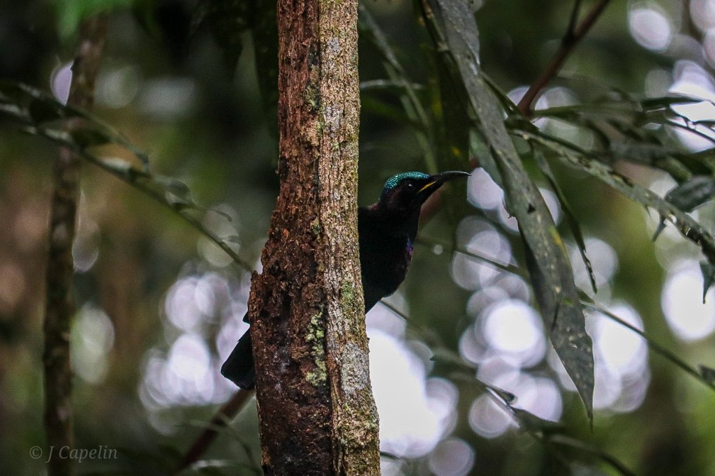
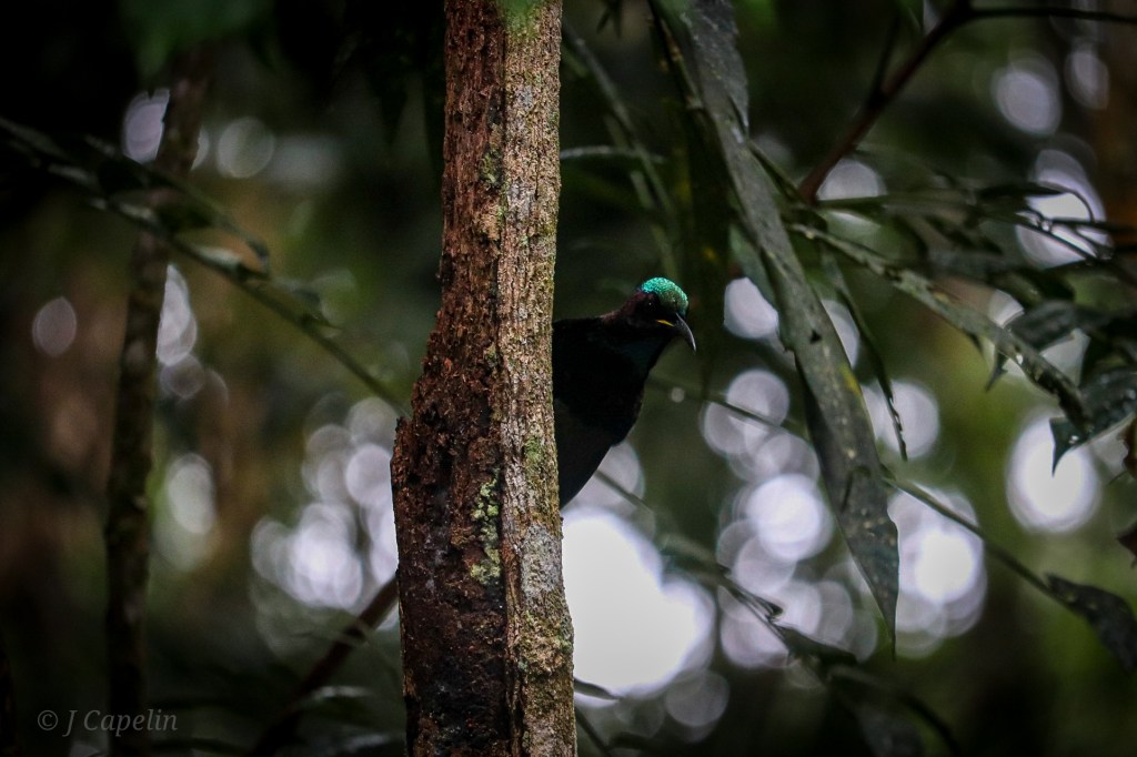
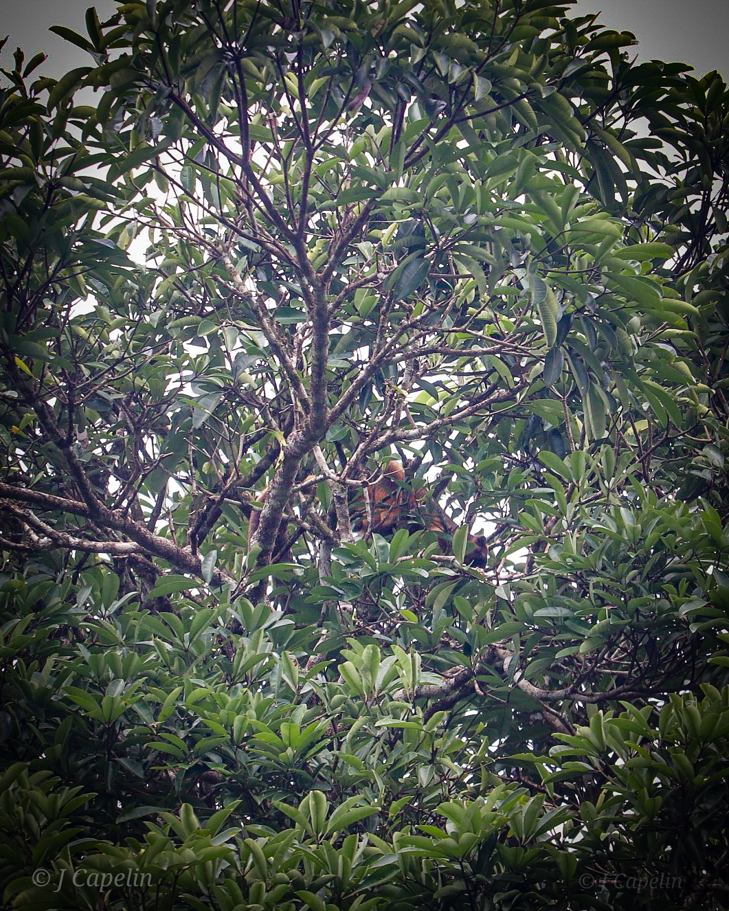
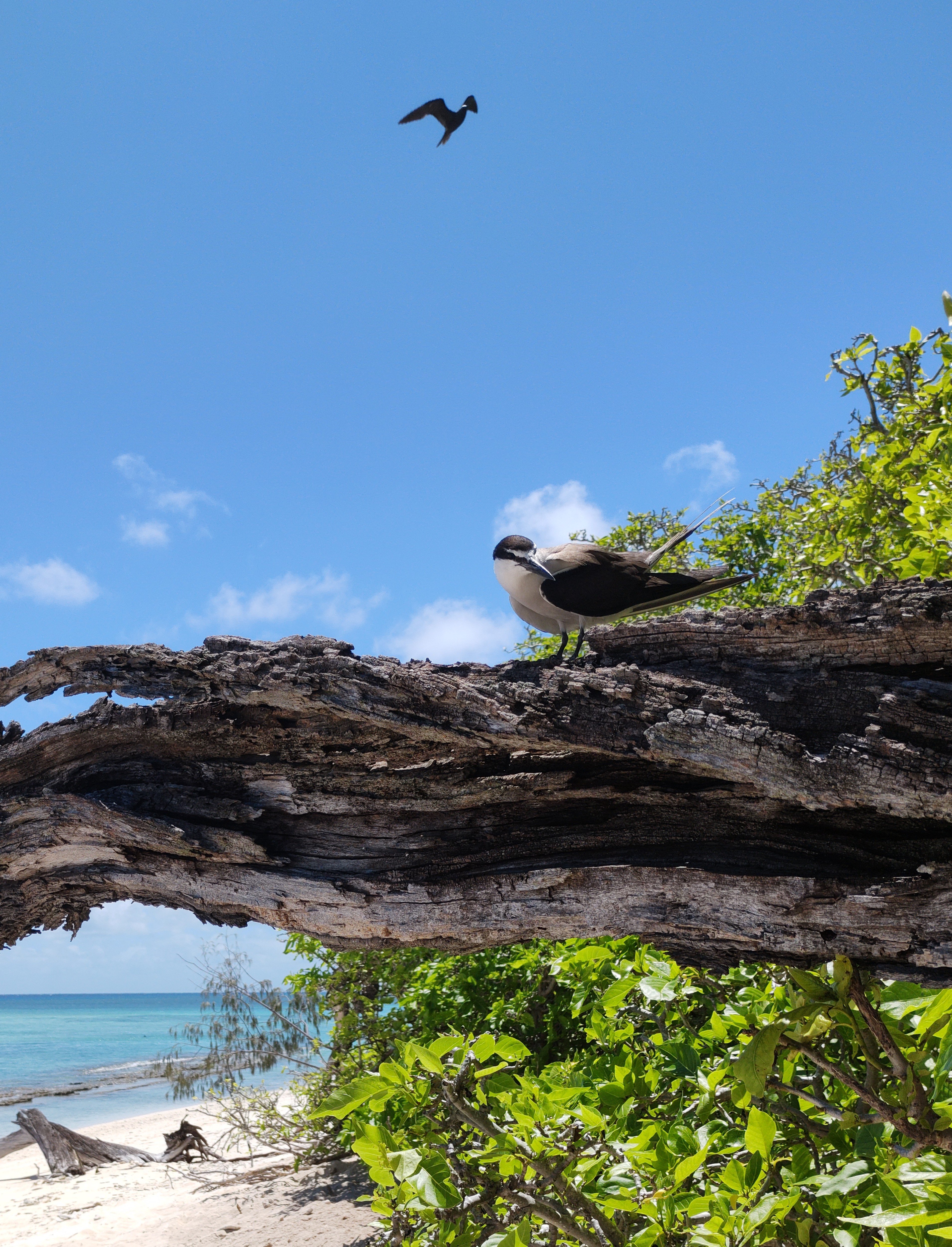
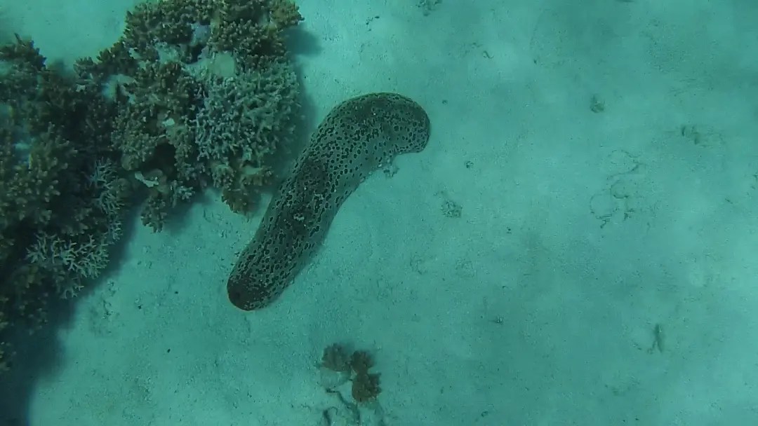
As we draw closer to Puerto Rio Tranquilo, a tiny flash of black in the roadside grasses makes us slow down. A black Gato Güiña (or Kodkod in English) pauses to look at us, before slinking across the road and disappearing into the bushes in a flash!
Gato Güiña
Gato Güiñas or Kodkods are the smallest species of wild cat in the Americas. Typically they have leopard-print-like fur, but there is a rare melanistic phenotype that is black, and these are known to inhabit this particular part of Patagonia south of Puerto Rio Tranquilo. They are smaller than domestic cats, with small heads and long bodies, and in my opinion move like a ferret.
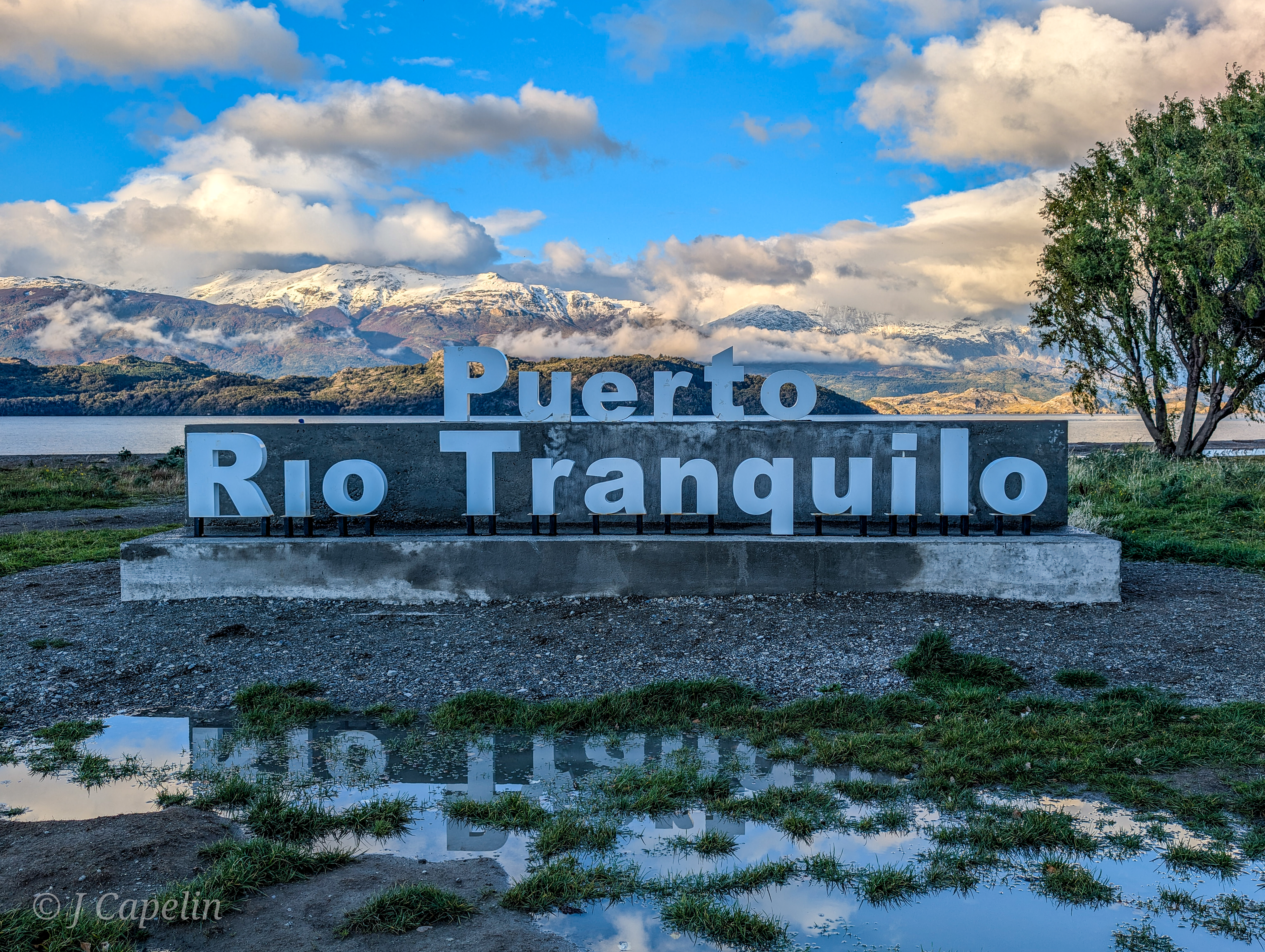
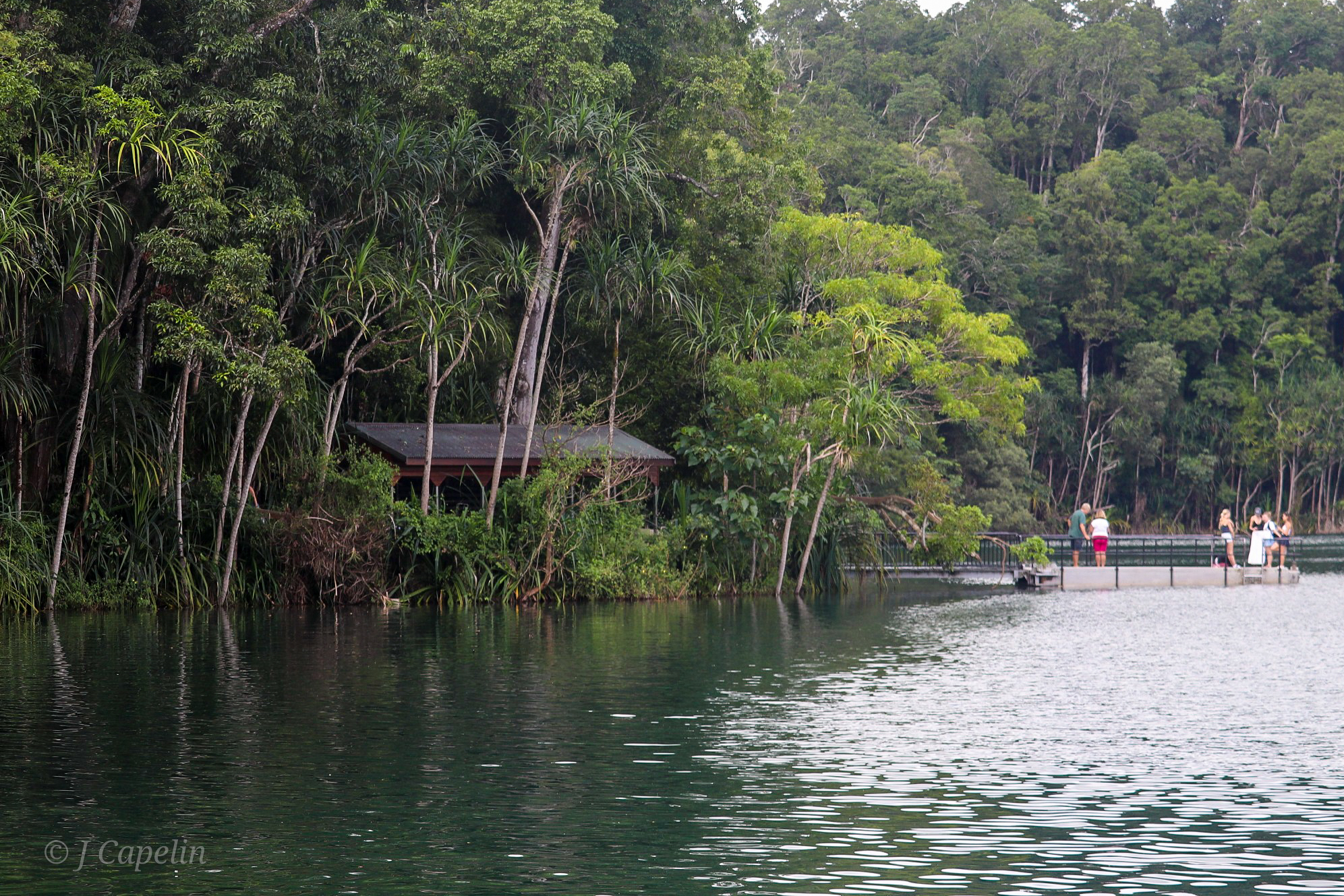
Puerto Rio Tranquilo
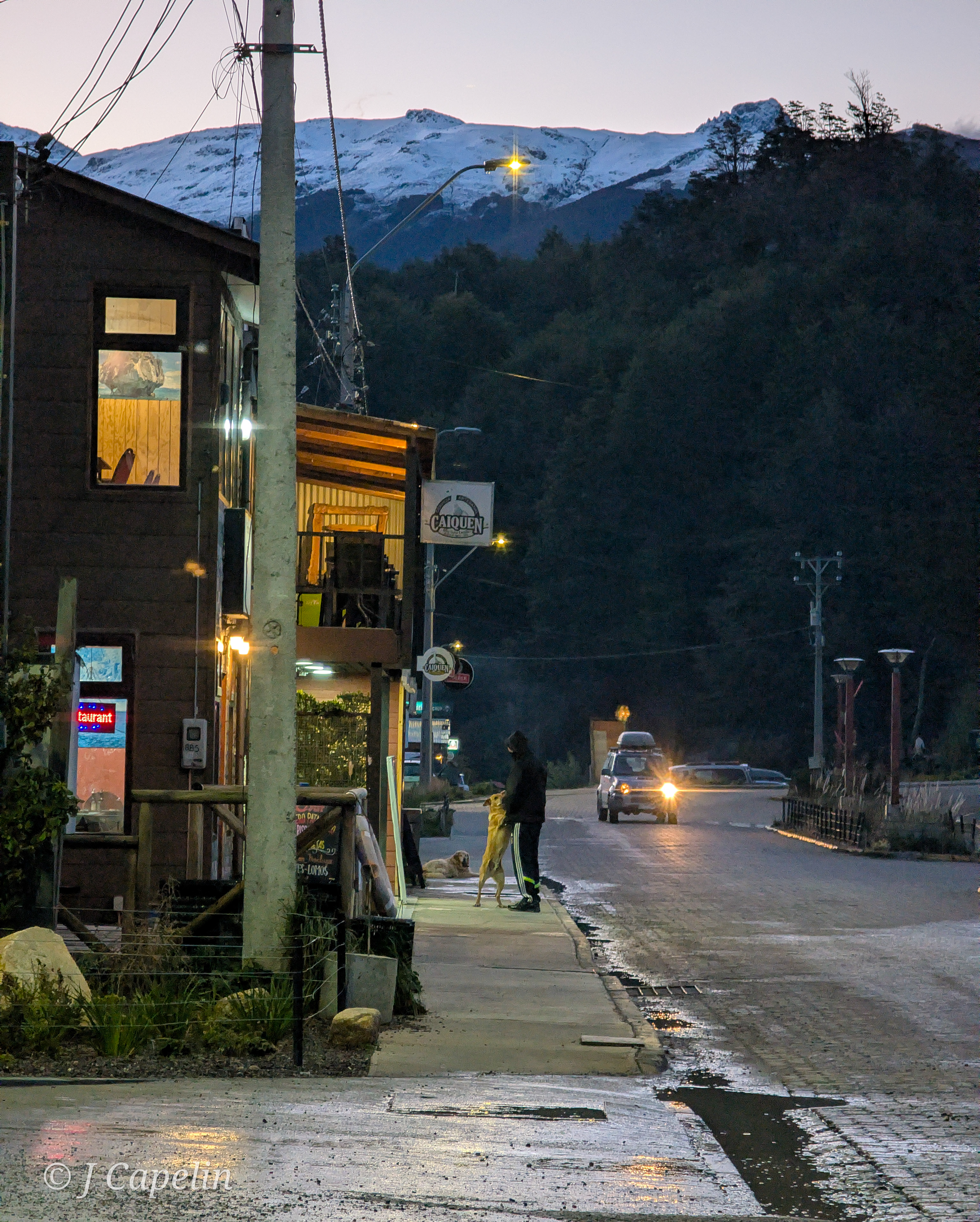
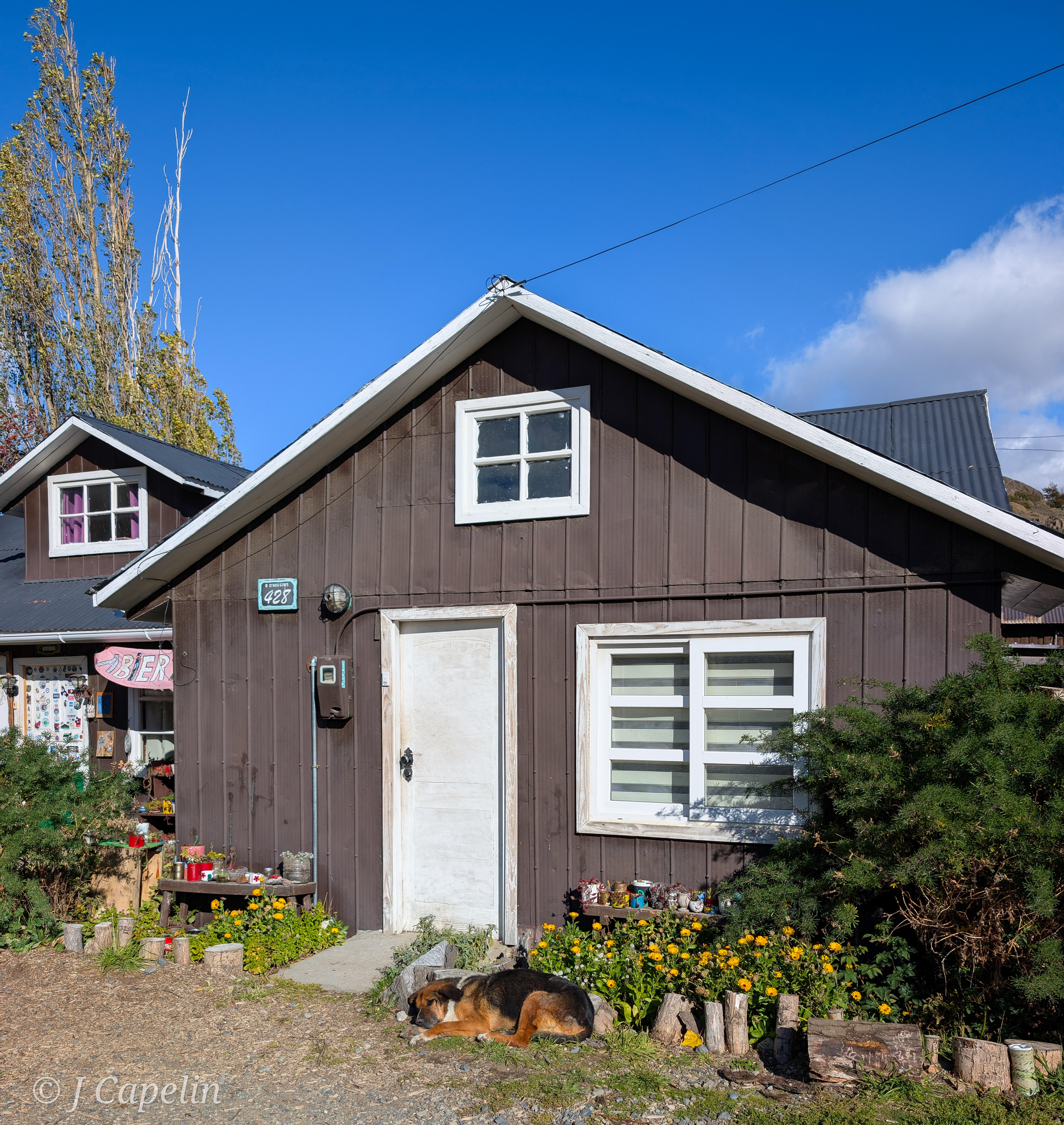
The pretty little town on the lakefront is a tourist hub during the summer months, but this time of year it operates just enough to get by. It seems very quiet, but for the dogs that welcome us with tail wags every time we walk down the street. After all, it wouldn’t be a true Chilean town without a pack of friendly dogs.
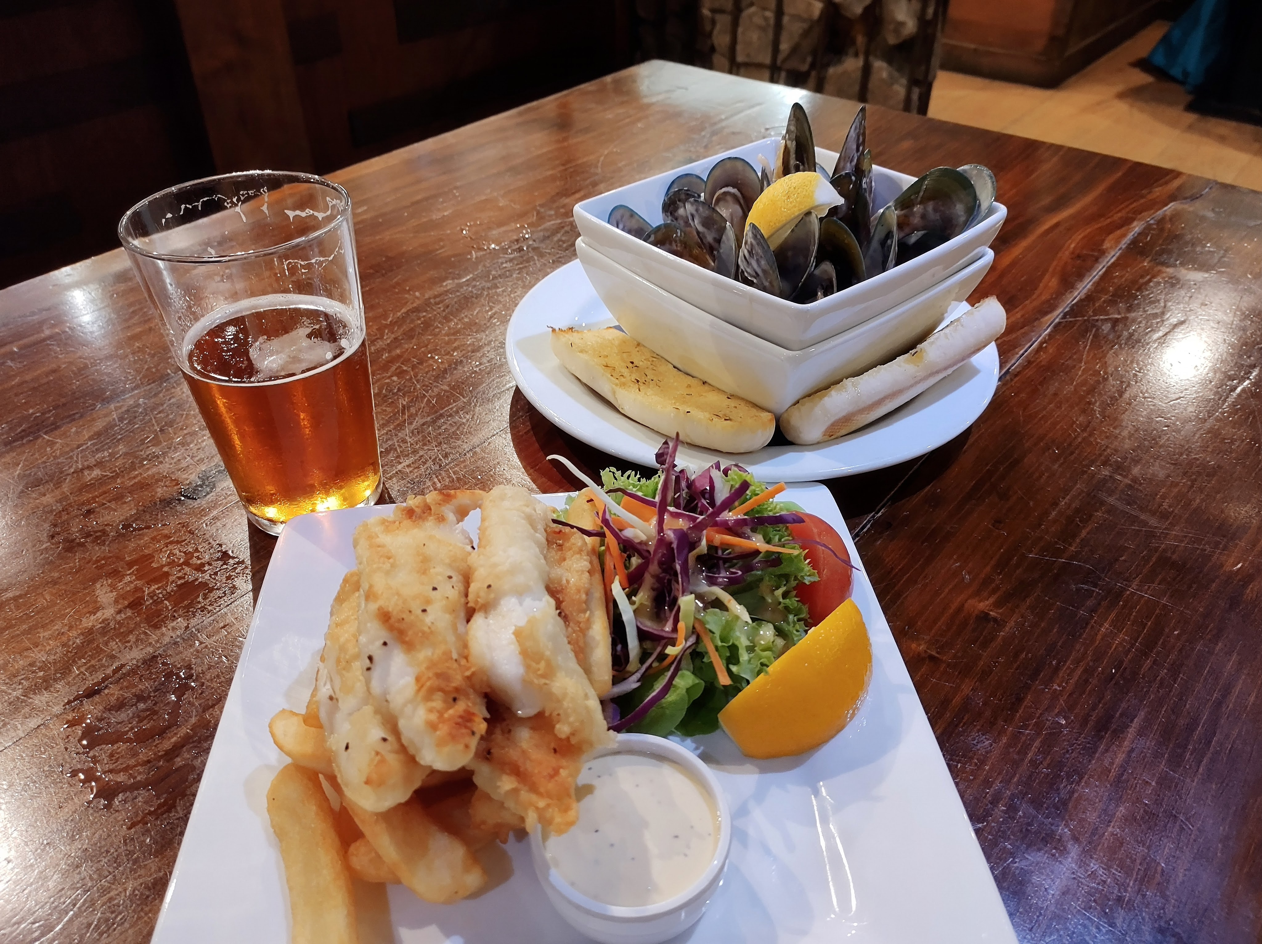
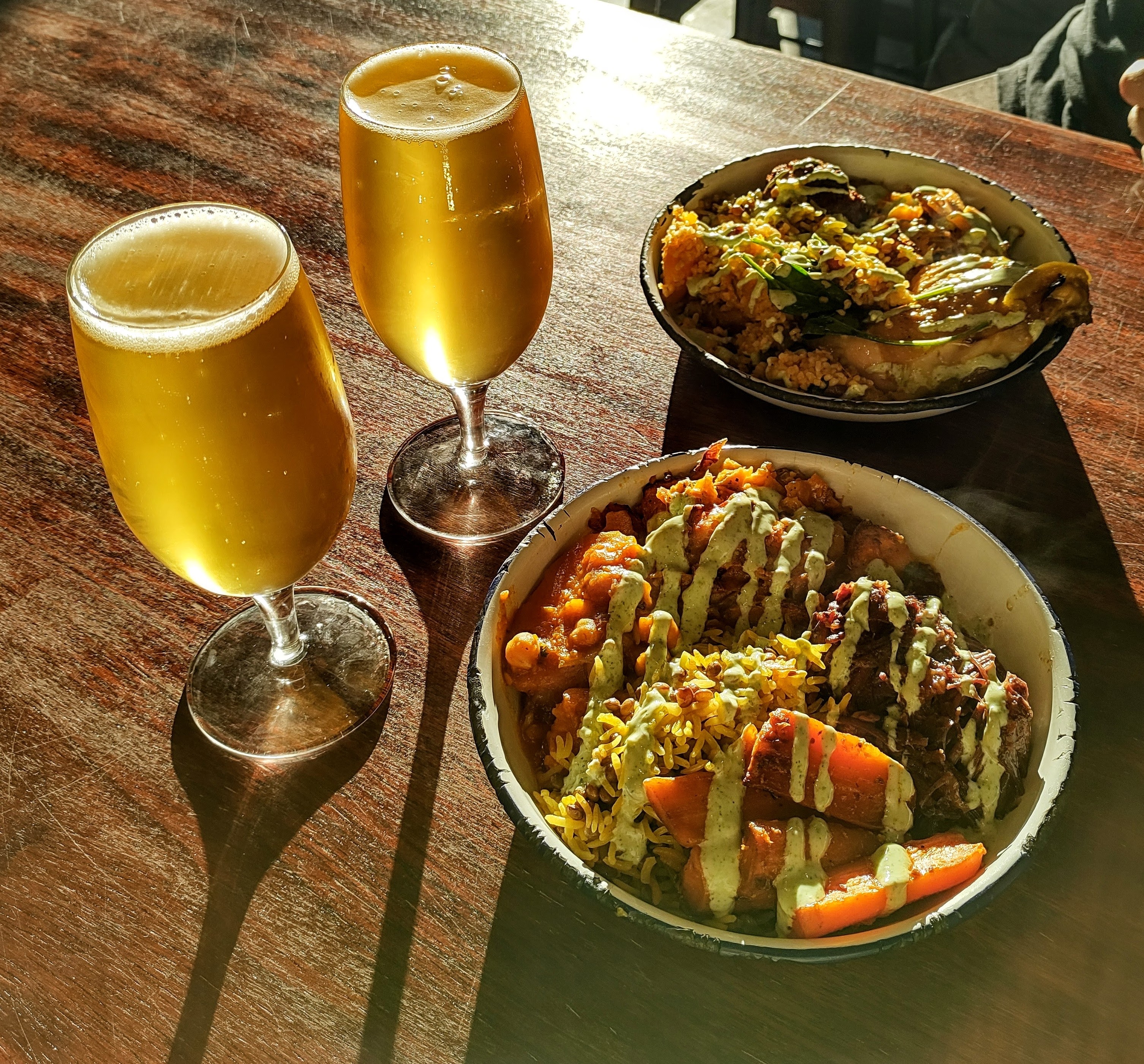
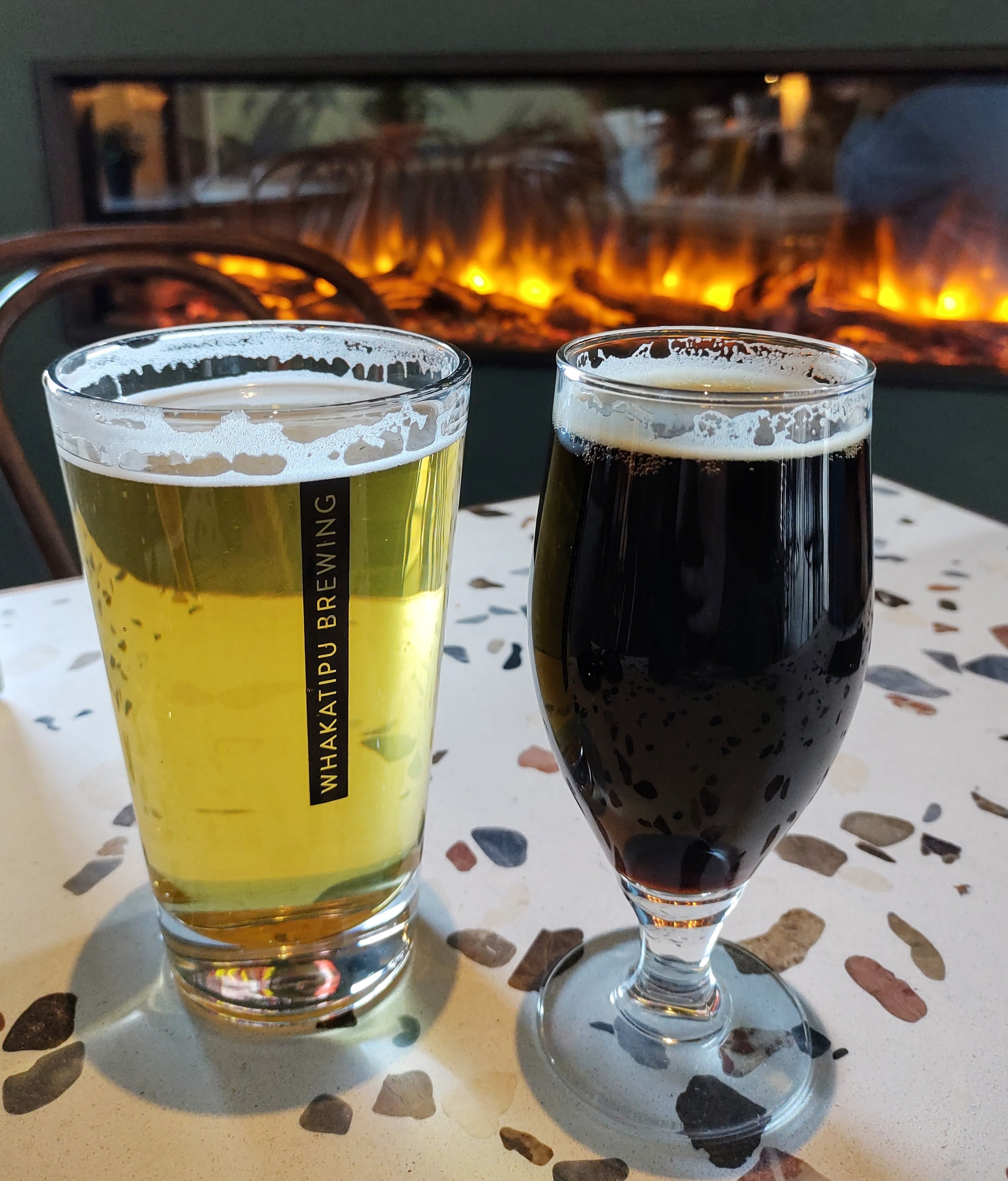
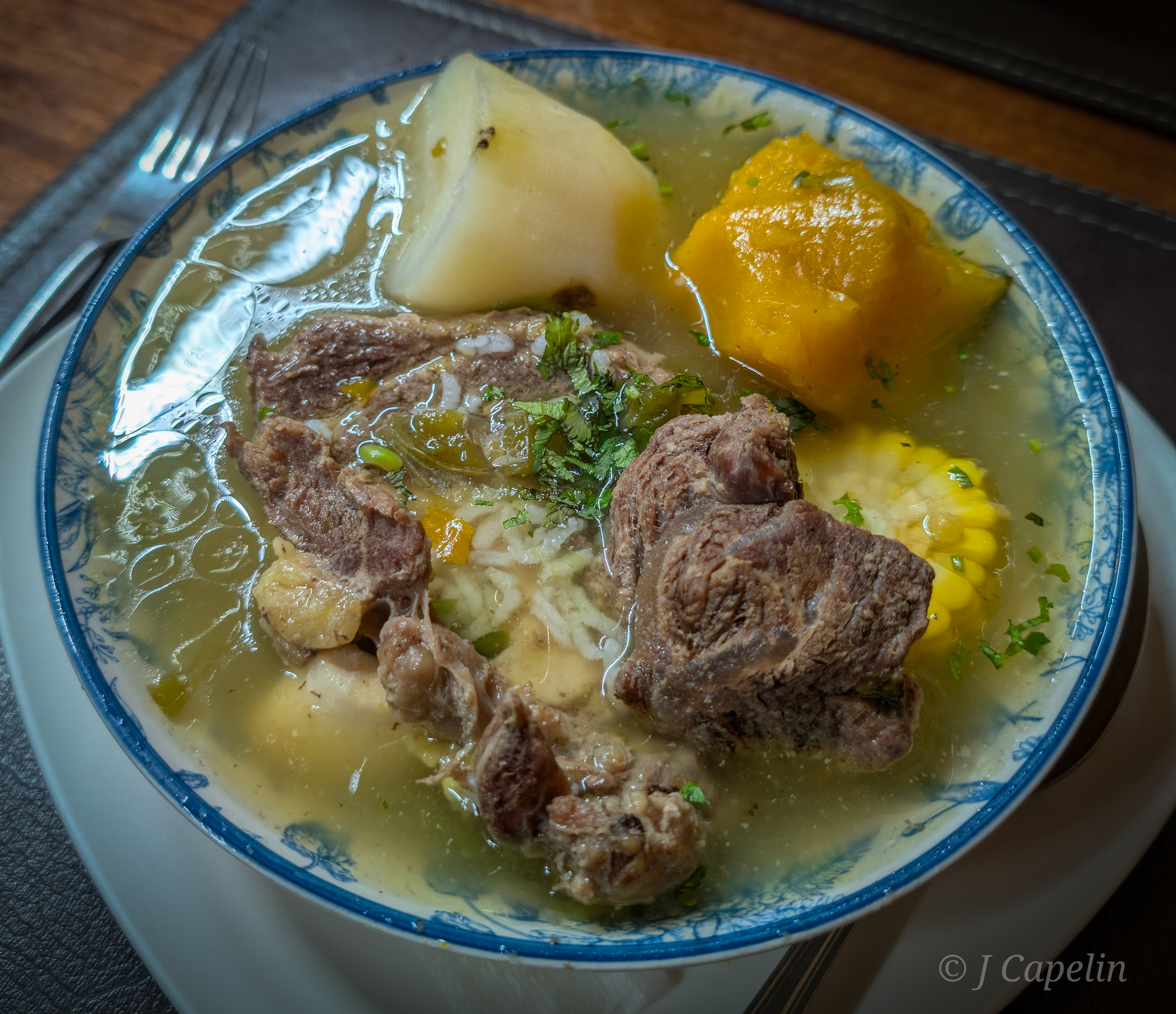
We enjoy dinner at Restaurante Turístico Pia, which is actually bustling, but quiet enough that we can walk in without booking. Here I get to try a popular local dish – Cazuela Vacuno – a kind of soupy stew with a joint of beef in it, chunky vegetables and rice; homey, tasty, and perfect for the cold weather. The waitress also recommends the Patagonian Pisco Sour, a take on Chile’s signature cocktail, with the addition of a sweet, purple syrup from Calafate berries, which grow in Patagonia.
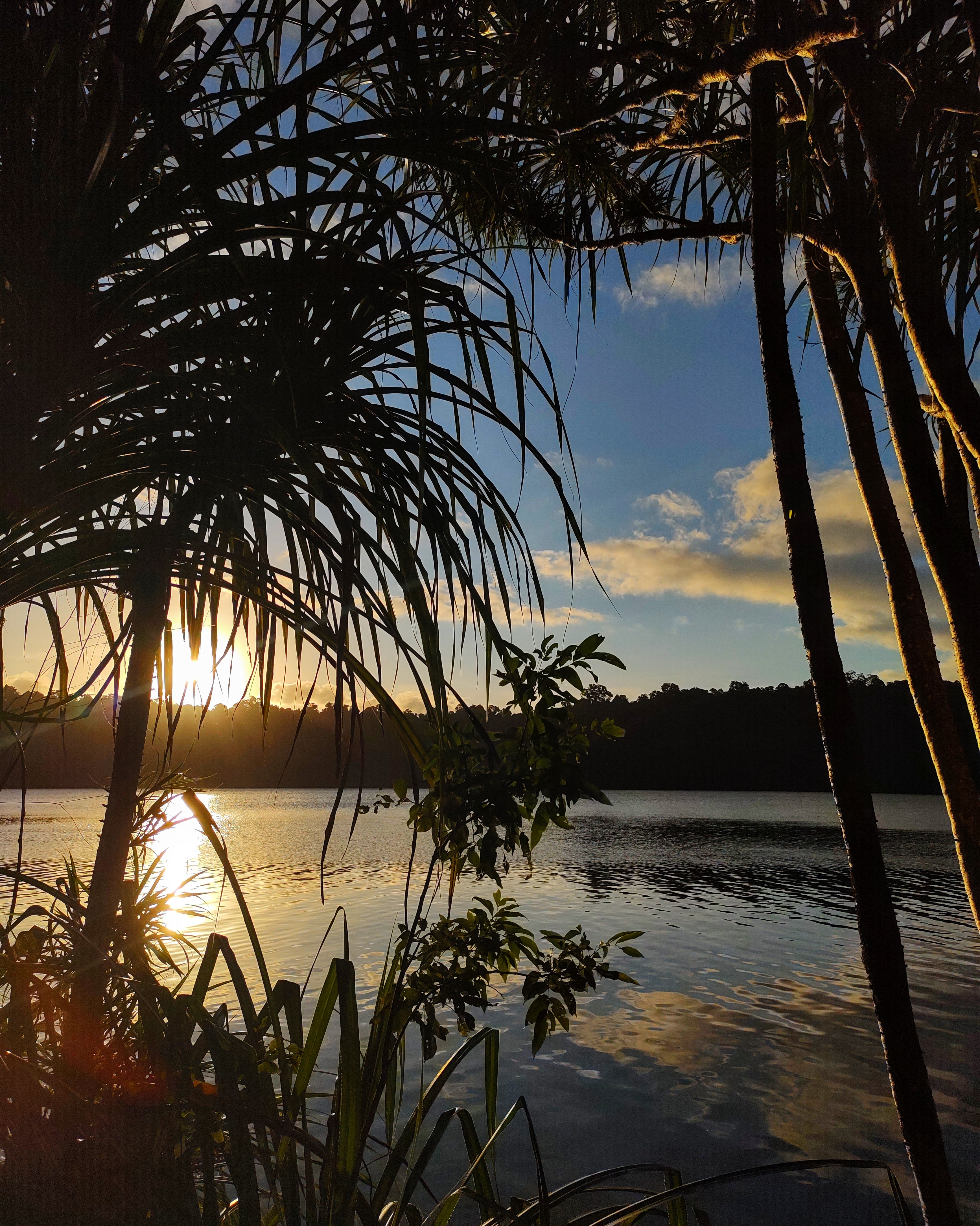
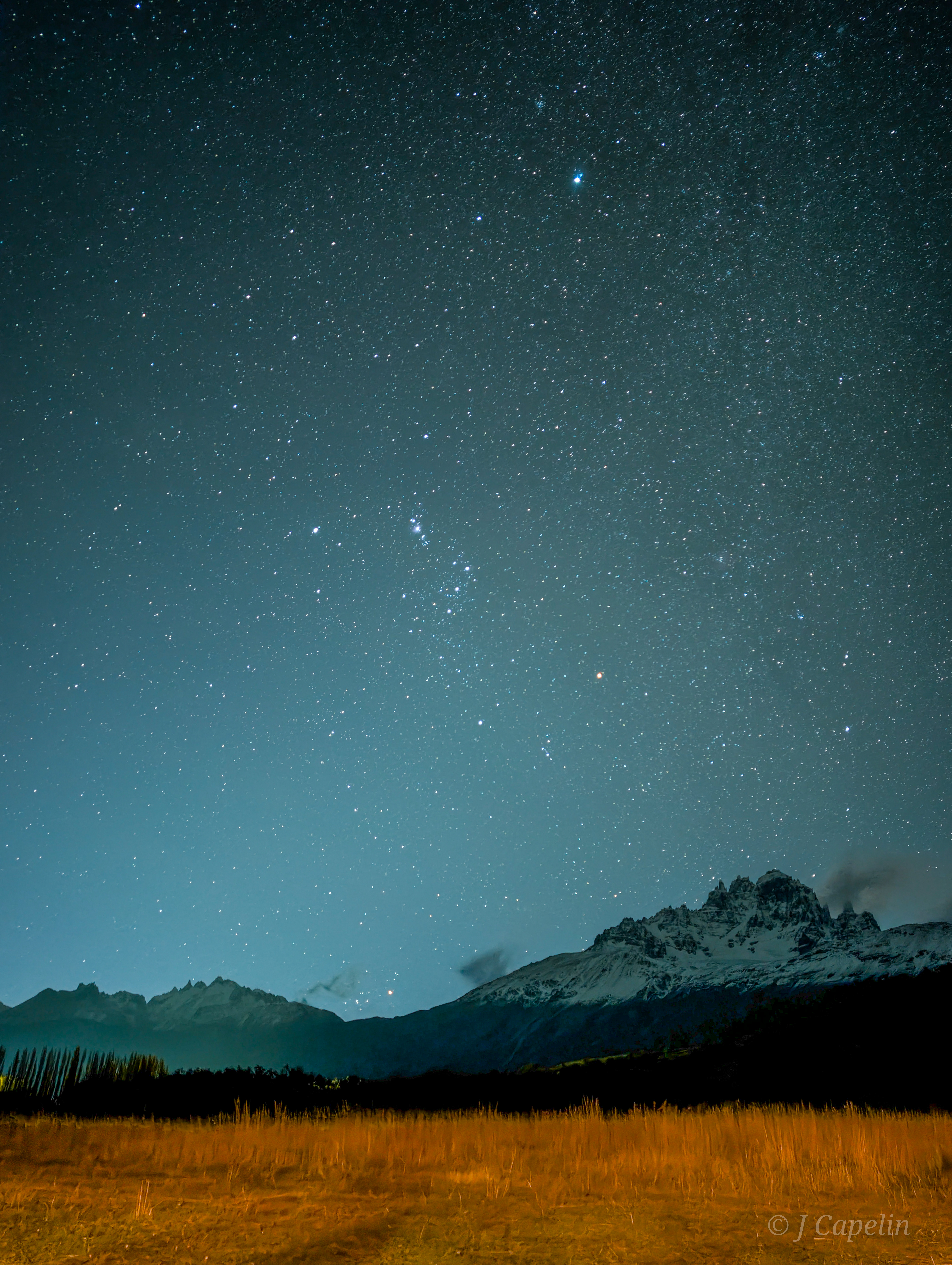
When we arrive back at Chelenko Lodge, the Milky Way is streaking the sky like a bright trail of glitter. Shooting stars flash beyond the silhouetted mountains as the lake gently laps the pebbles.
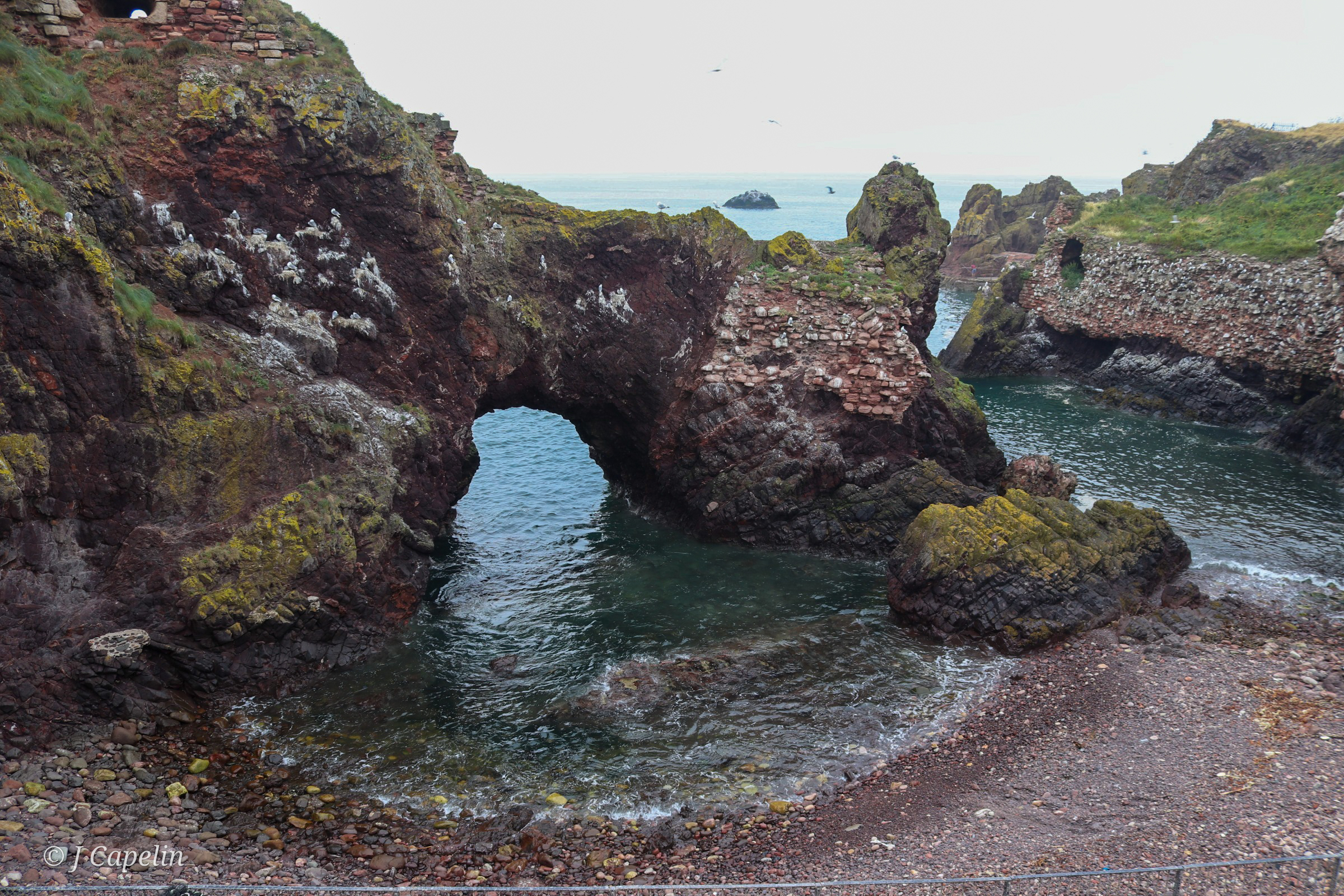
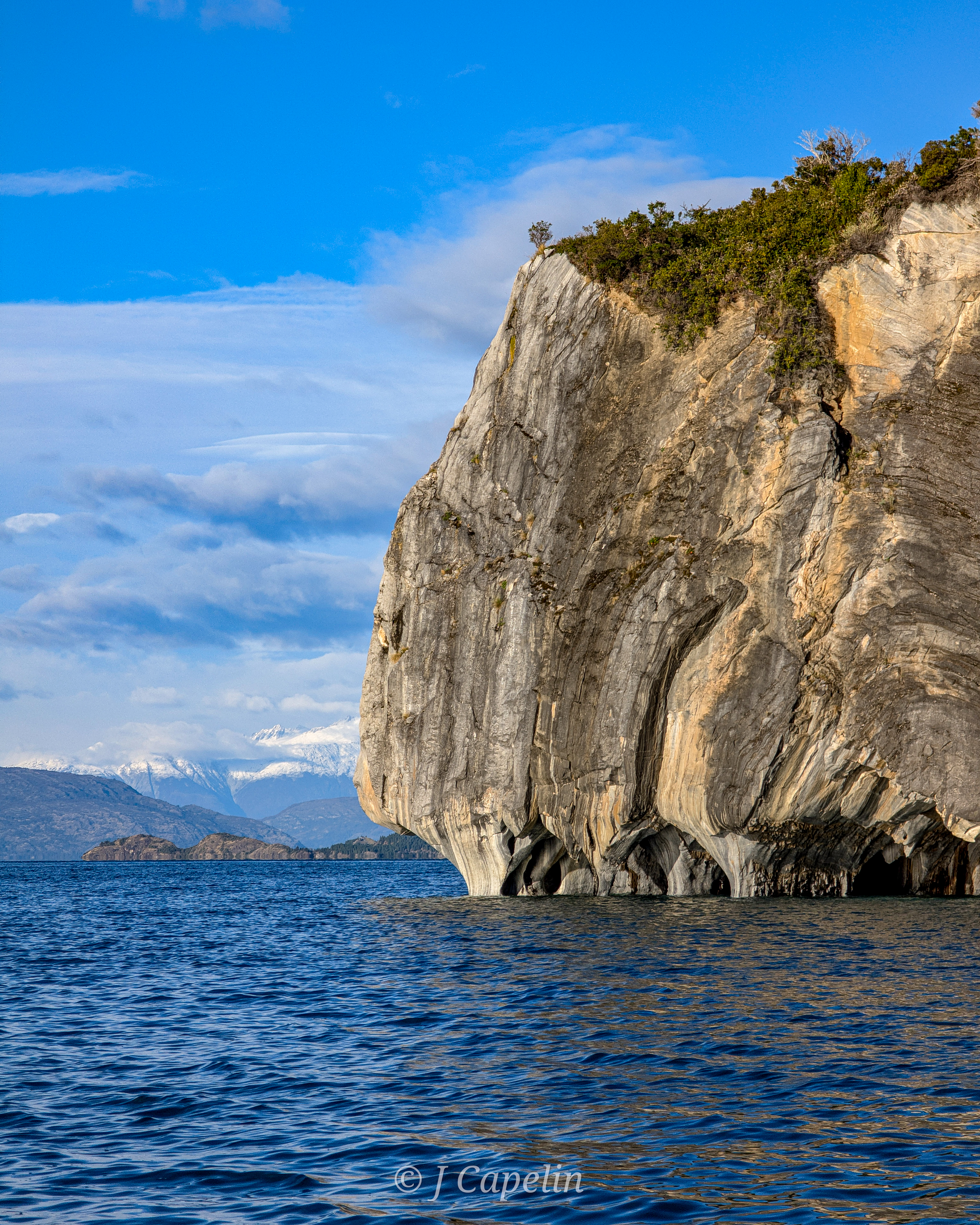
The Marble Caves
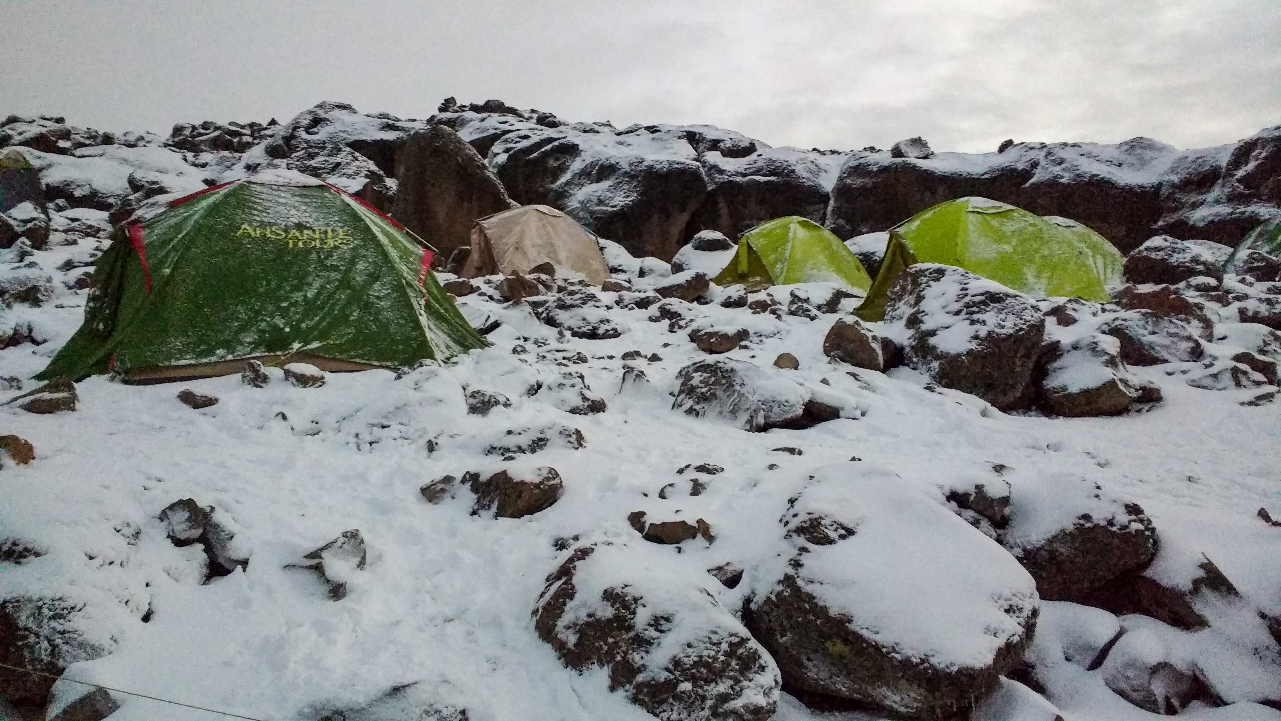
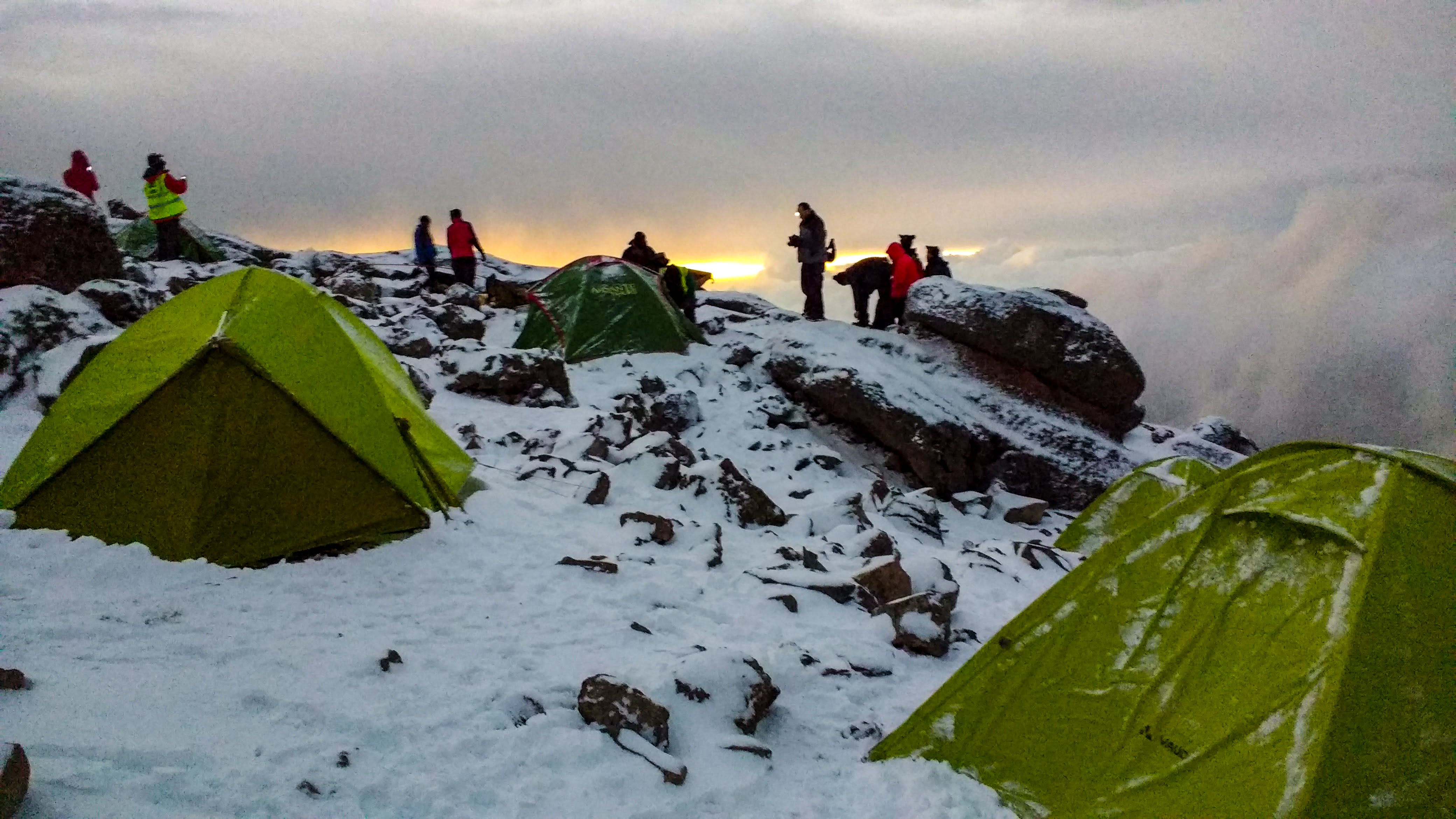
Morning arrives, calm and promising after a clear, freezing night. The mountain snowline has crept lower, and we are in for a glistening wintery day.
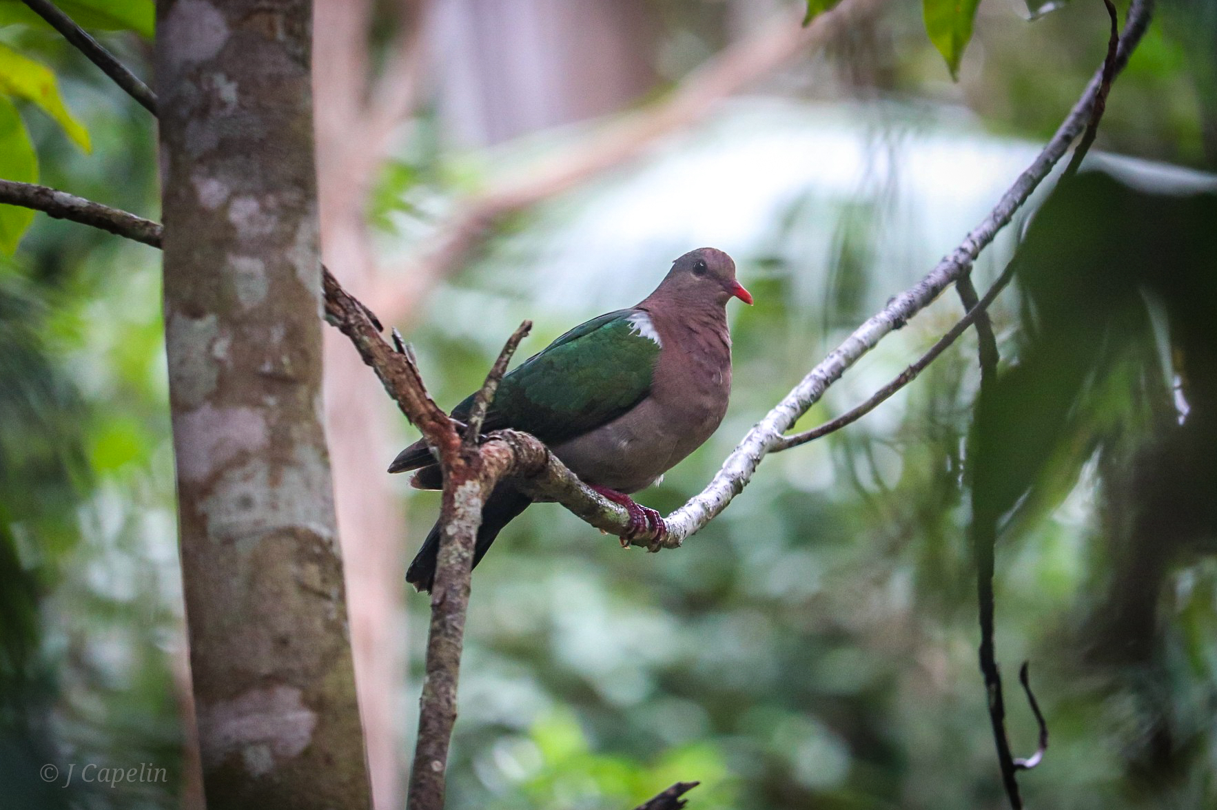
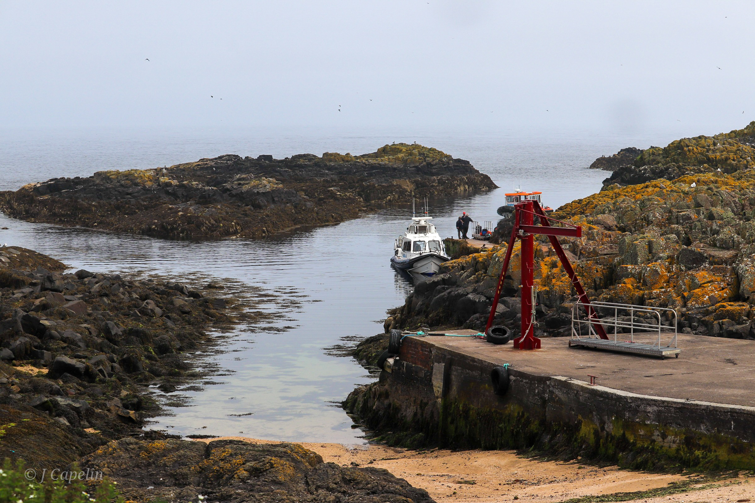
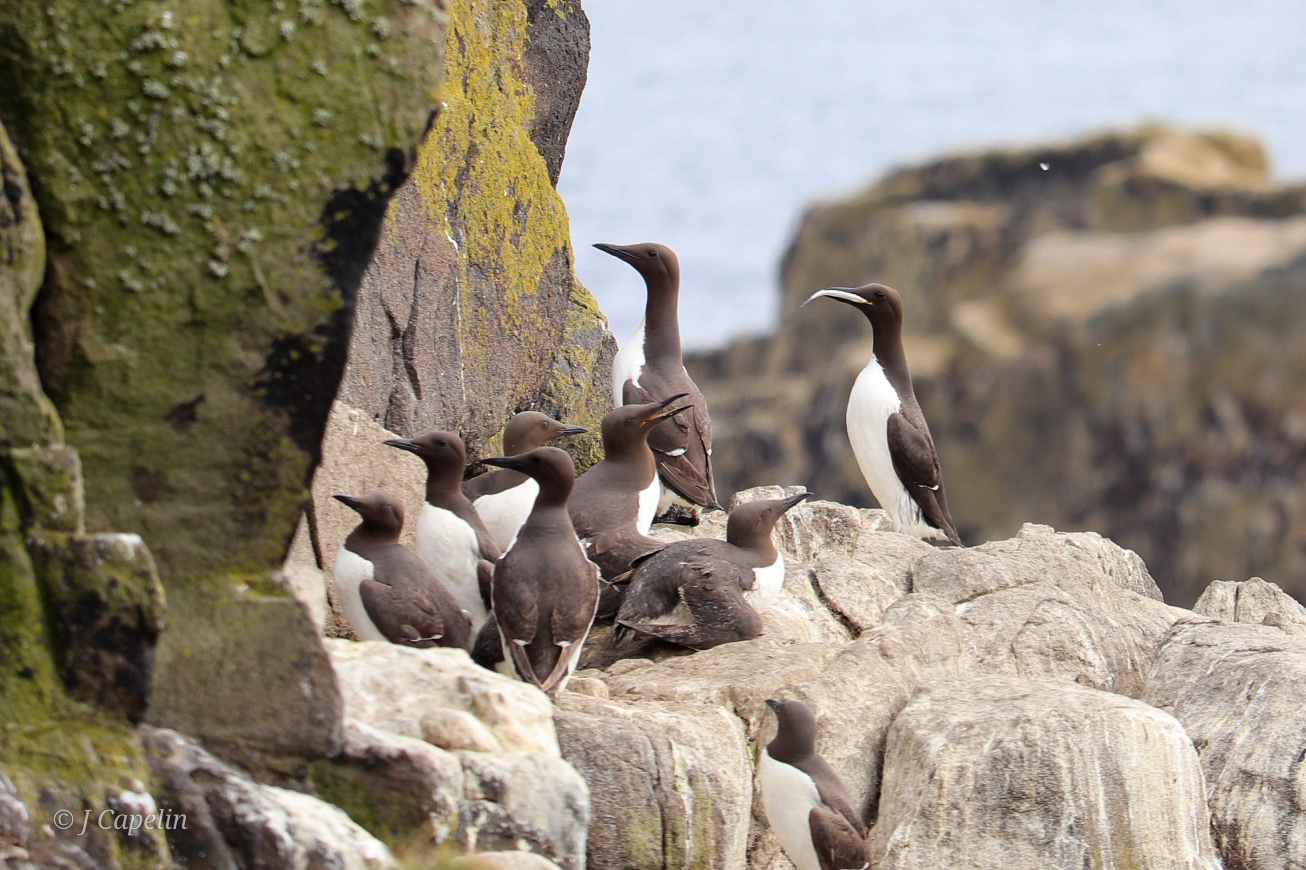
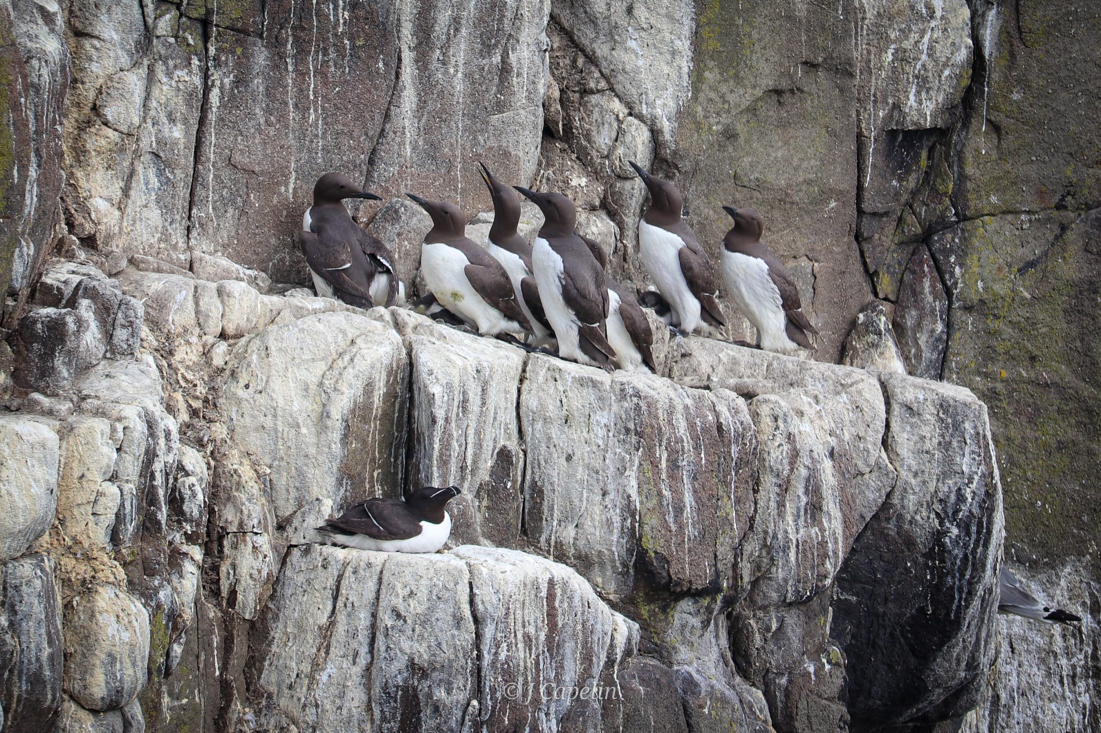
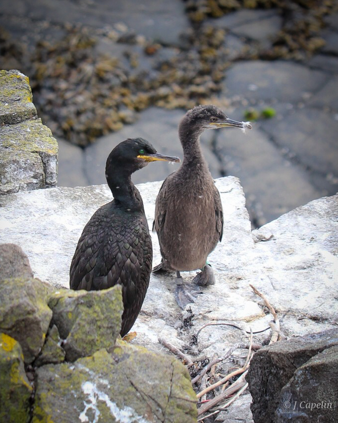
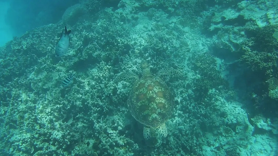
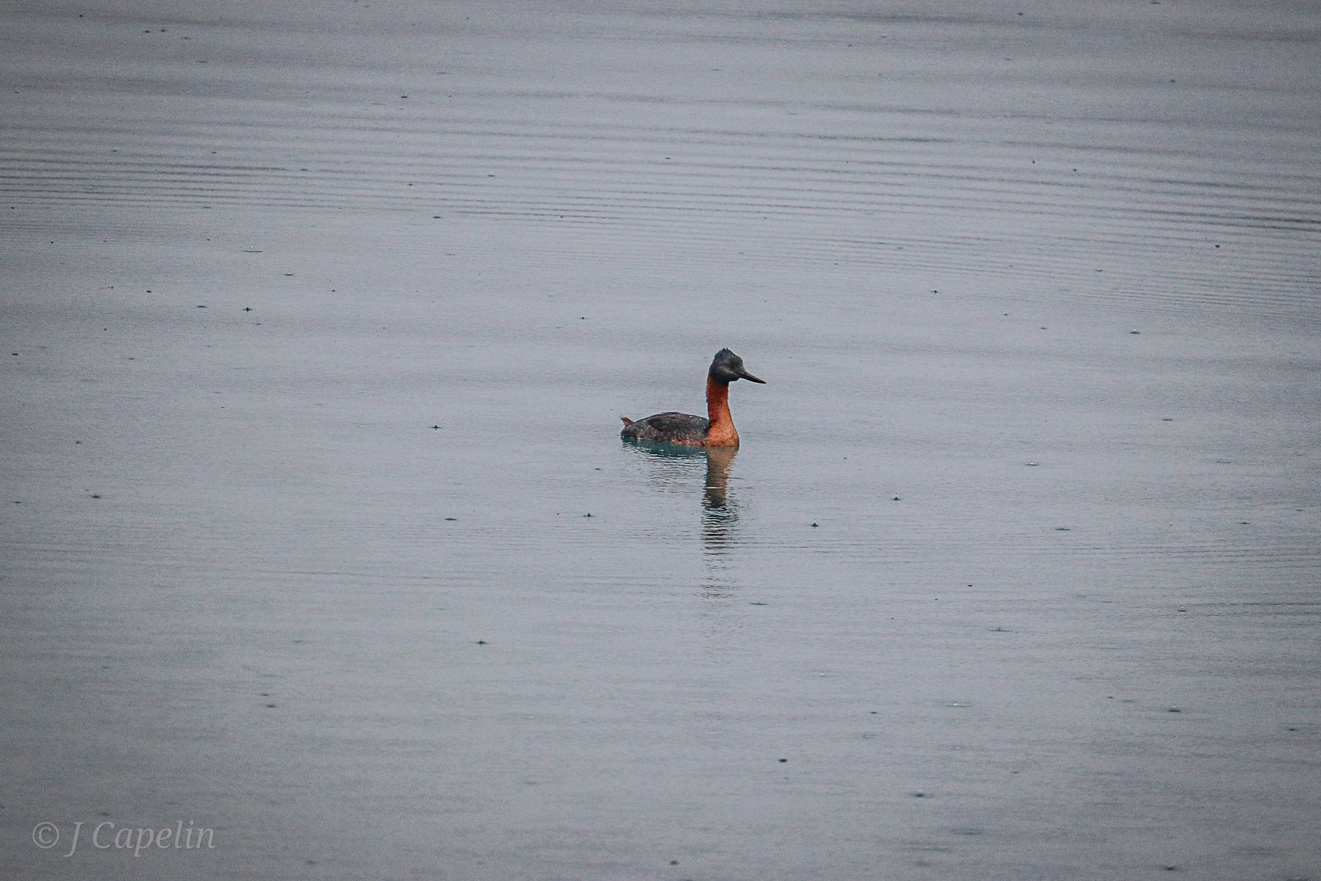
A gorgeous orange sky preludes the sunrise as we make our way to town for our prebooked boat tour. We meet the tour guide, Carolina at the cabins by the lake, and sign our lives away, before donning lifejackets and climbing aboard a little 11 seater power boat, captained by Felipe. It’s a freezing, crystal clear morning on General Carrera Lake, and a ‘Yeco,’ (Neotropic Cormorant) sits on a post watching us as we steer out of the pretty harbour.
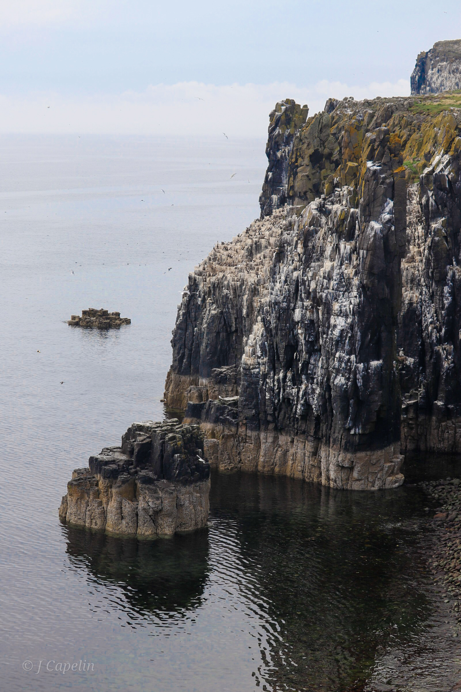
Zooming across Chile’s largest lake, the sun rising between snowy peaks into a clean, blue sky, we eventually come to our first caves along the shoreline.
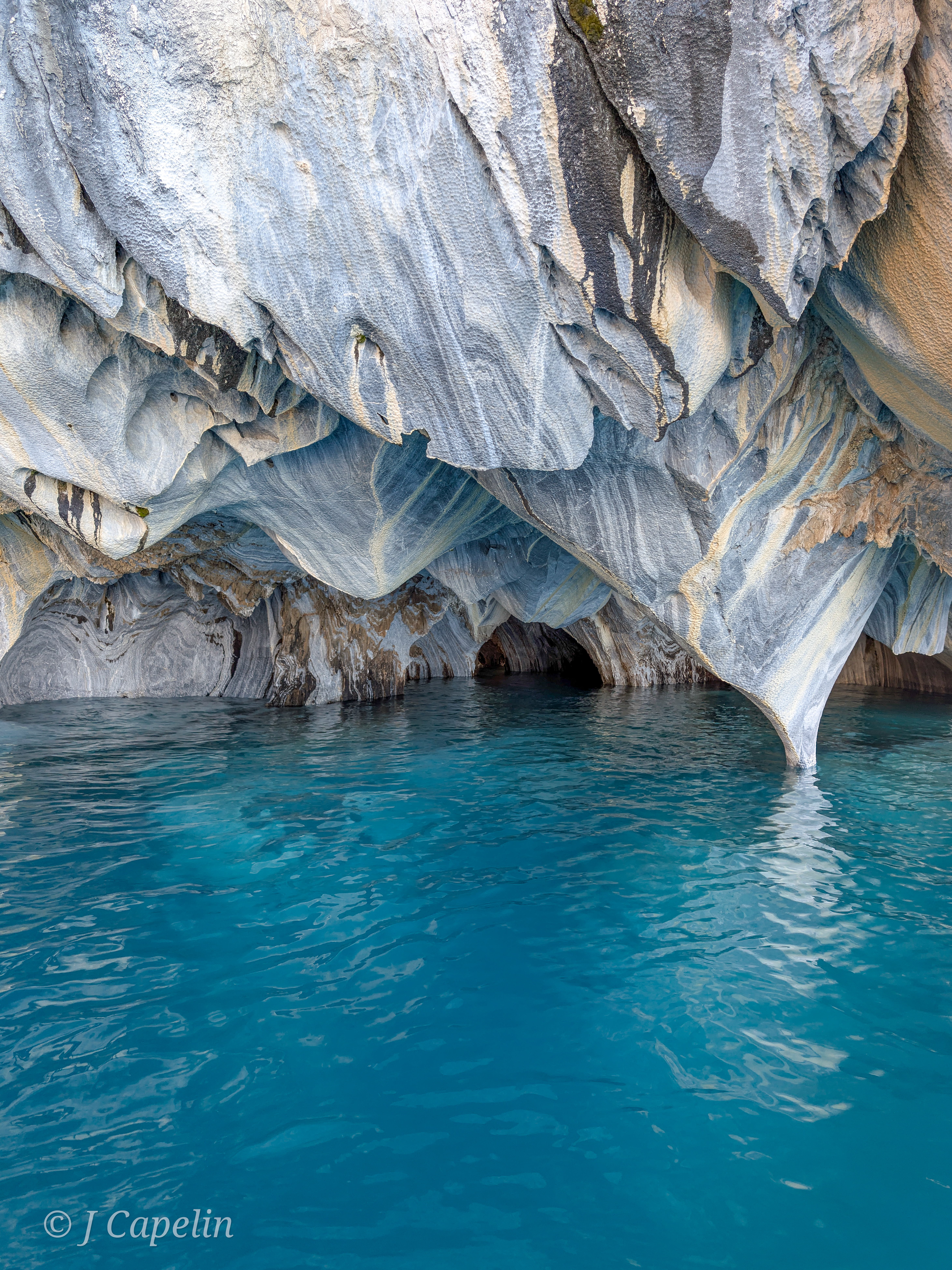
Felipe navigates the boat expertly into a few of the bigger caves, allowing us to touch the marble ceiling in one of them. The glacial water looks like Powerade, its milky turquoise sheen enhanced by the white marble below the surface.
Little windows eroded into the marble walls over thousands of years cast sunlight into the caves, leaving little drops of gold on the water in its wake.
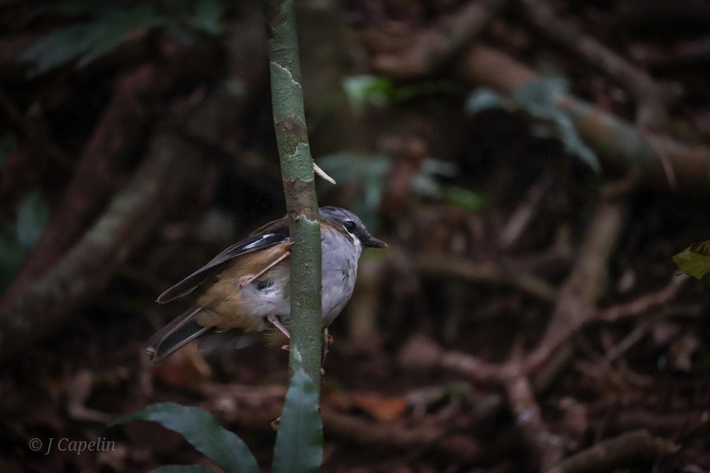
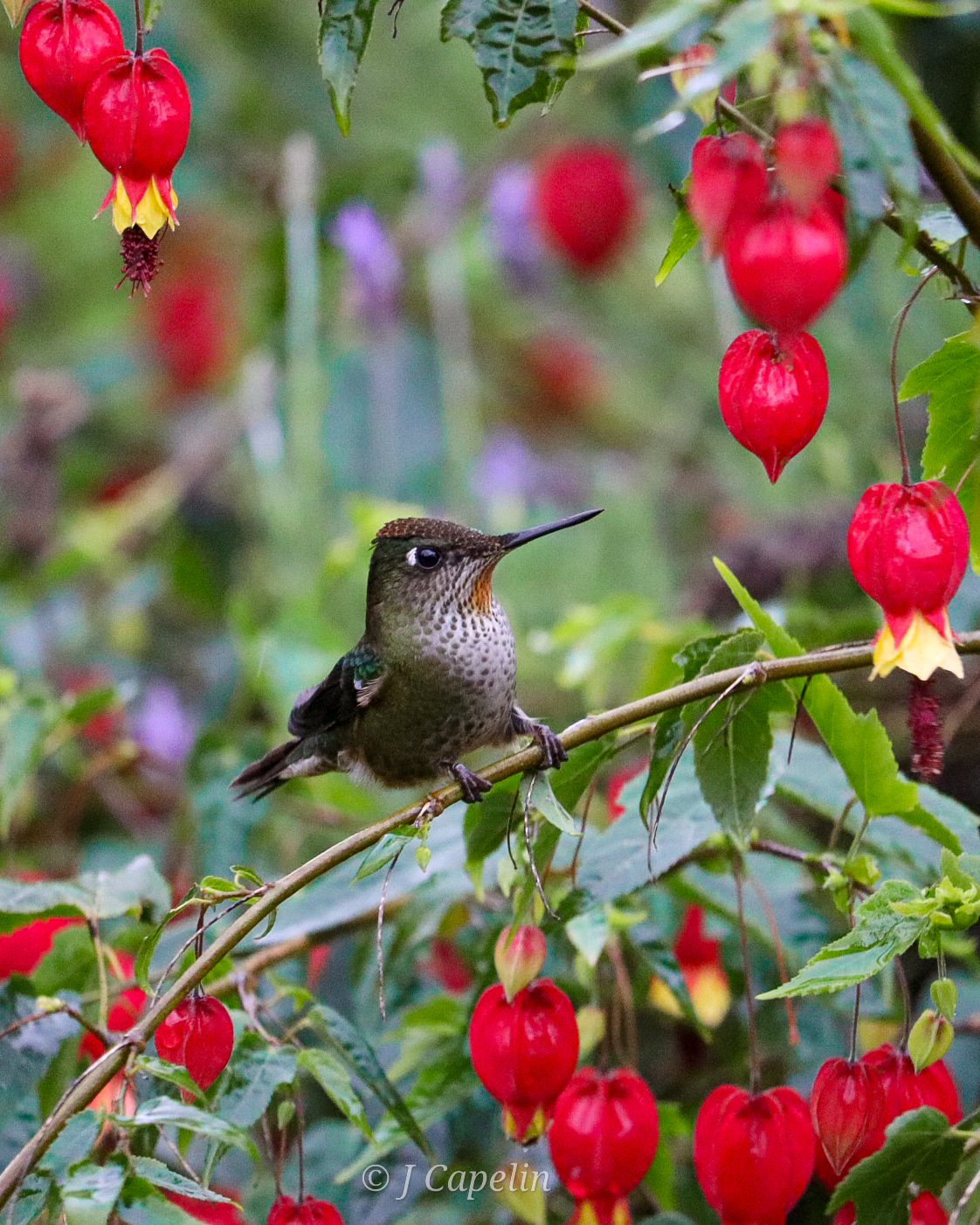
As we skirt the coastline a little Fire-Crowned hummingbird zips over, hovers above the boat and darts to and fro to look at each of us! Carolina calls it a Pica, short for ‘Picaflor’ and the moment feels like magic.
Making our way to the famous Marble Cathedral and Chapel standing like a beacon in the lake, Felipe revs up the engine and takes us for a fast, panoramic spin around the formations. The sun popping in and out of marble windows, and the wind in our hair, it is stunning.
History of The Marble Caves
Formed over the last 15,000 years, the marble caves are the result of the ever changing climate. The marble cliffs themselves were formed millions of years ago, when the limestone deposits in the region were subject to underground heat and high pressure, compressing them into Calcium Carbonate Marble. Then, when the ice fields shrunk, and ancient glaciers melted into General Carrera Lake, this giant marble peninsula was suddenly standing in this glacial water. This ‘turbulent water,’ as the name Chelenko suggests, has since been eroding beautiful smooth holes in the marble, giving them unique swirling textures that you really have to see to behold.
The adrenaline pumping, we continue to zoom far out into the lake at high speed, much further than they usually go on this tour. Because it is the quiet season, we are the only boat on the water, so with no time or space constraints, we are able to experience something unique. Carolina points in the direction of the Argentinian border, stating that it would take another 4 hours at this top speed to reach Argentina!
The way back to the harbour is fast and rough, heading straight into the wind and the waves. We brace ourselves, making our bodies as small as possible on our seats, as the little boat bumps and slams across the water, finally bringing us back to the serene harbour.
Marble Cave Tours
This boat tour was with Aoni Expediciones – https://www.aoniexpediciones.cl/en
There are also kayak tours, which take a little longer and some fitness is required – some of my group did the kayak tour on the rainy morning. They said it was freezing cold, but the rain didn’t take away from the experience because they spent more time kayaking inside the caves and through tunnels, and that it was an unforgettable experience. Either way, if you are in Chilean Patagonia, you MUST see the Marble Caves!
I didn’t personally dip a toe in Chelenko, but one of us did fall out of a kayak, so I think that counts!
A hot coffee and brunch is essential after a morning on the water, so we meet the rest of our group in our favourite little cafe to thaw out, before hitting the Carretera Austral for a scenic drive to our next destination…
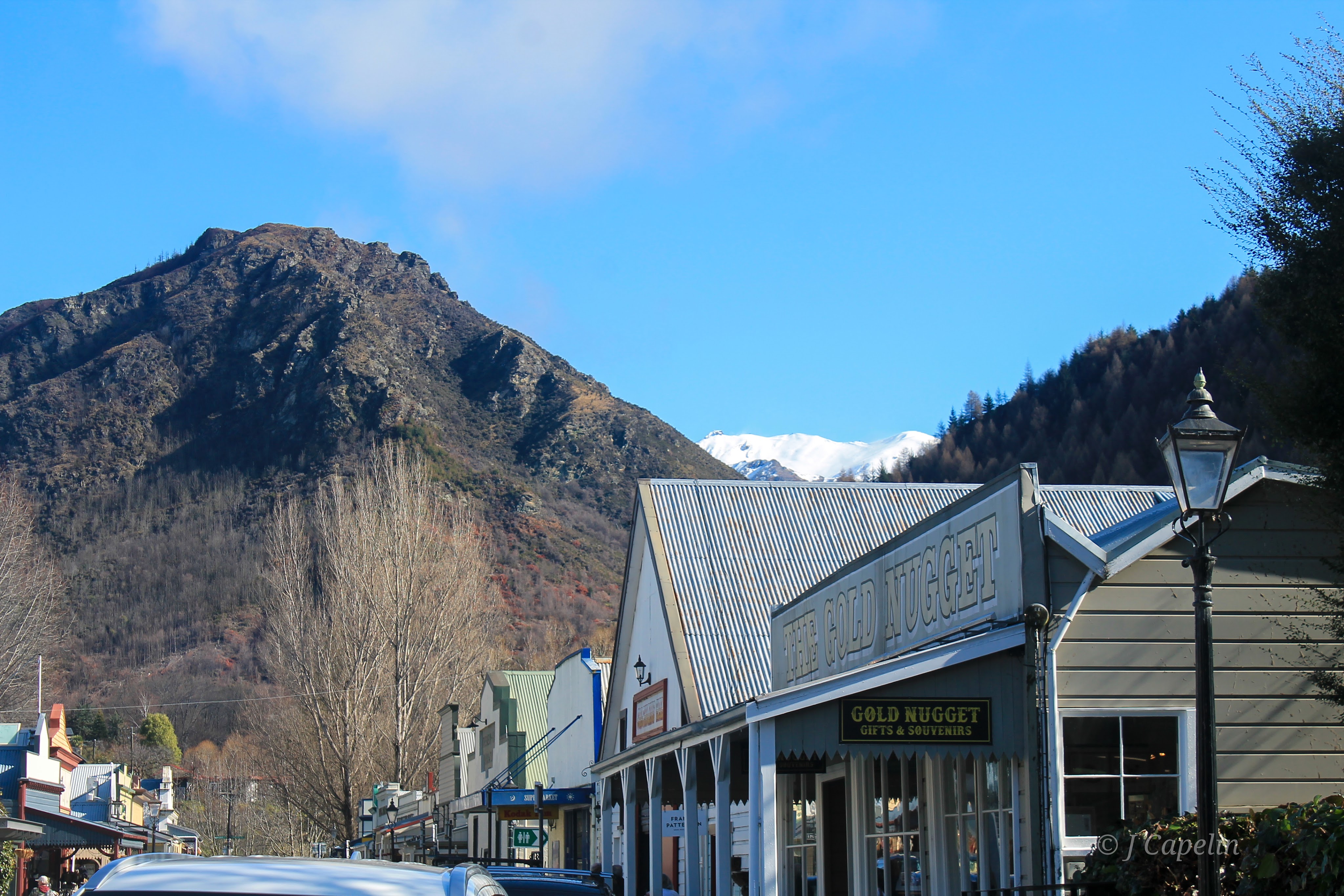
Villa Cerro Castillo
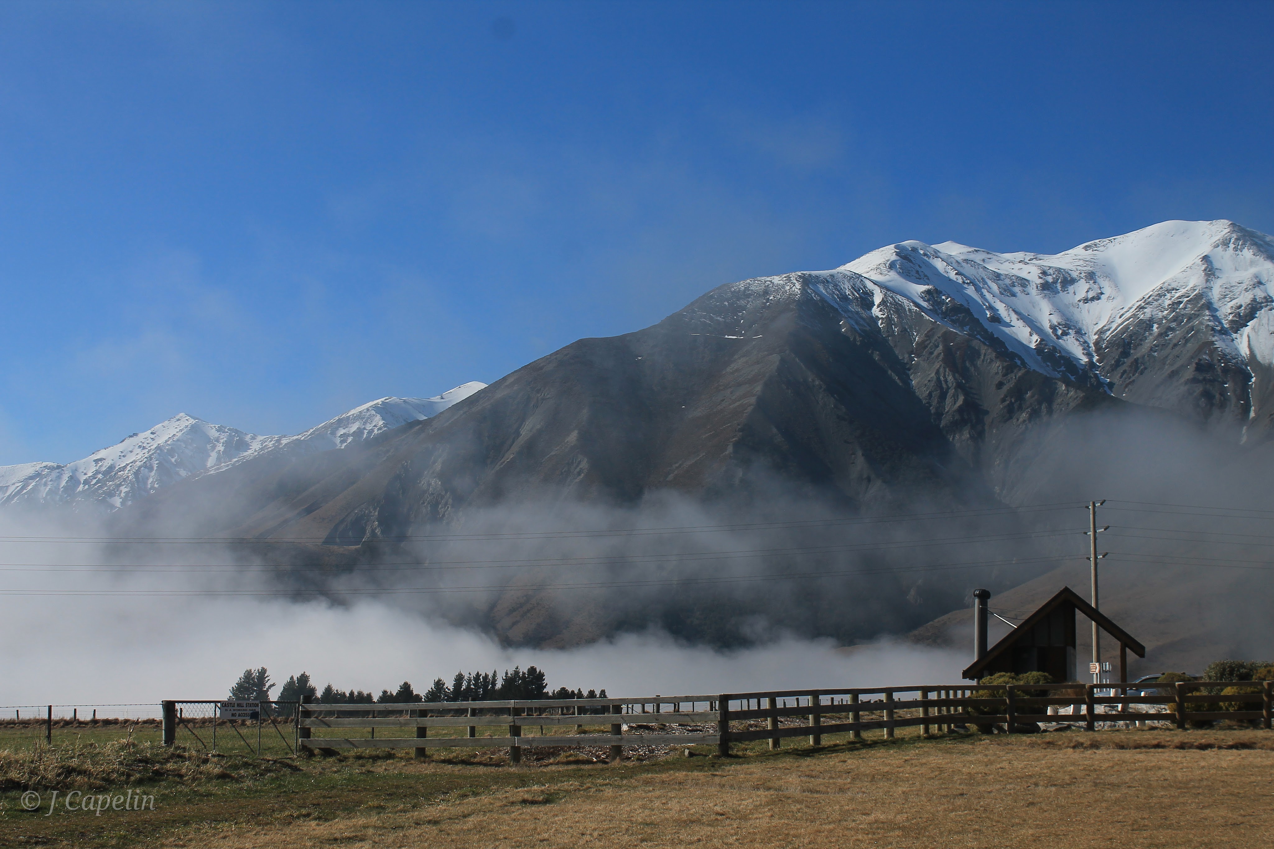
Back up Route 7 we go for 2 and a half hours, finally arriving at Villa Cerro Castillo. Pulling into our massive lodge on the river plains of Río Ibáñez, the surroundings take my breath away. It feels different up here; drier, and more like the old Andean country where you’d imagine wild Guanacos roaming the grasslands, and men wearing ponchos!
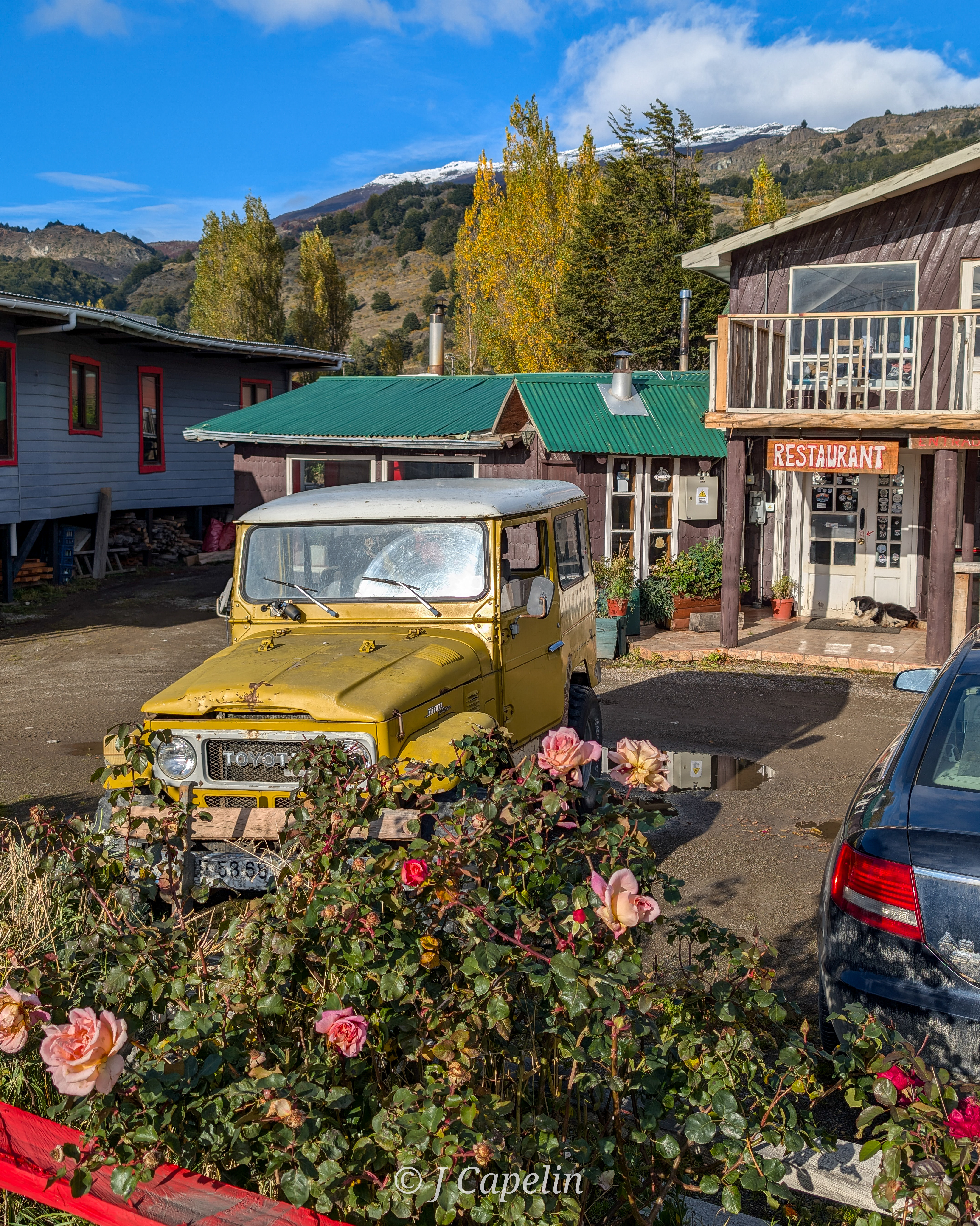
The village itself has a couple of blocks of tiny wooden houses, a primary school, and a number of small, independent stores, which open on alternating days of the week. That said, it seems that deliveries come scarcely, as there is a lack of fresh goods. We scrounge up some ingredients for dinner, happy to support some local business.
Places to Eat
While a few of the restaurants in Villa Cerro Castillo are closed for winter, there are a couple that stay open:
‘Restaurant y Cafe Campesino El Castillo’ is known for pizzas, empanadas, and Tres Leches cake.
‘El Arbolito’ is an artisan gift shop with self-serve coffee and homemade cakes.
‘Restaurante Villarrica’ is famous for their giant Chilean sandwiches, range of steaks, generous serves of fries, and they have an extensive drinks menu.
On the village green the local dogs congregate, rushing over to see what we’ve bought, while a group of chickens peck about in the grass.
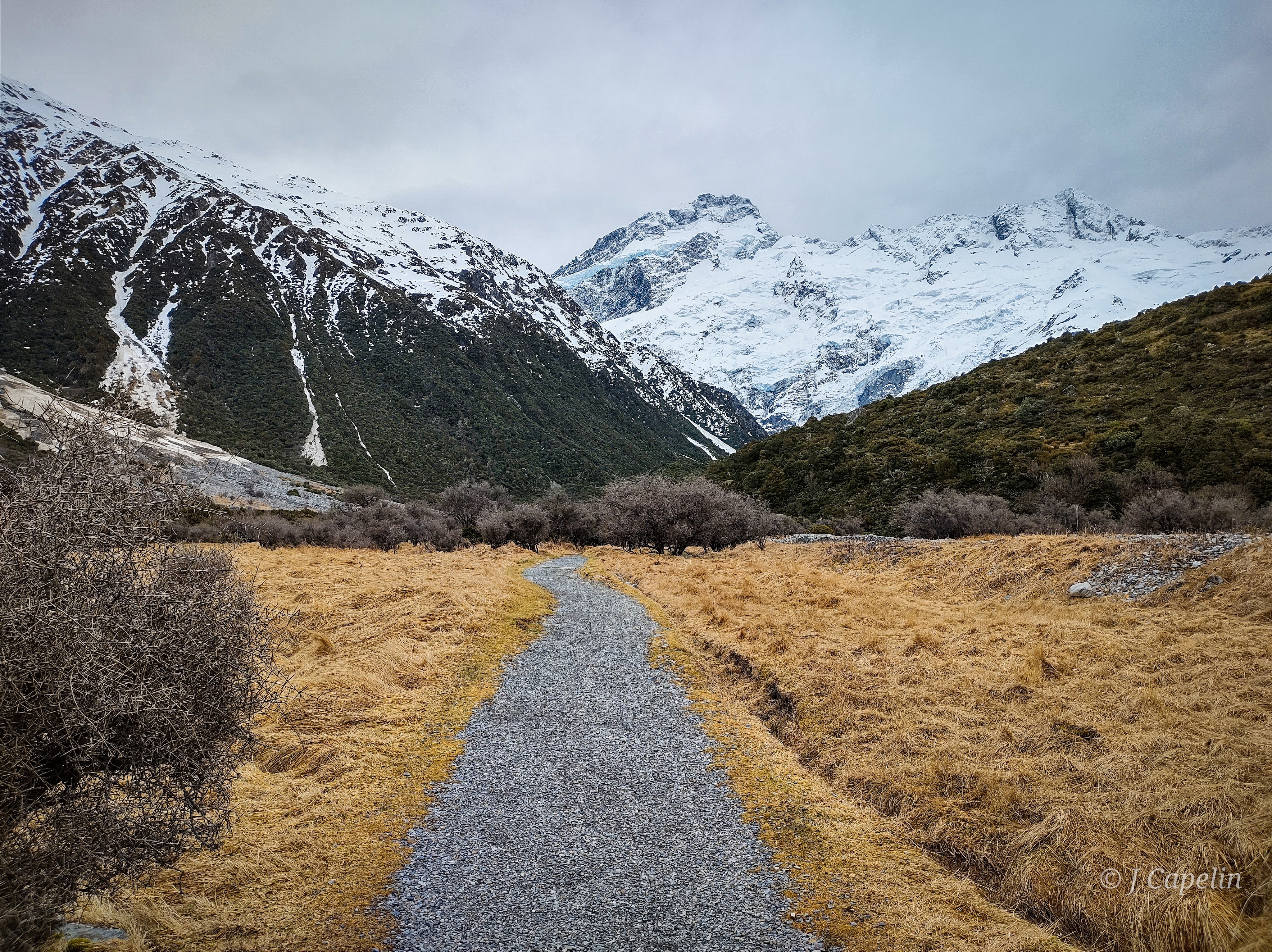
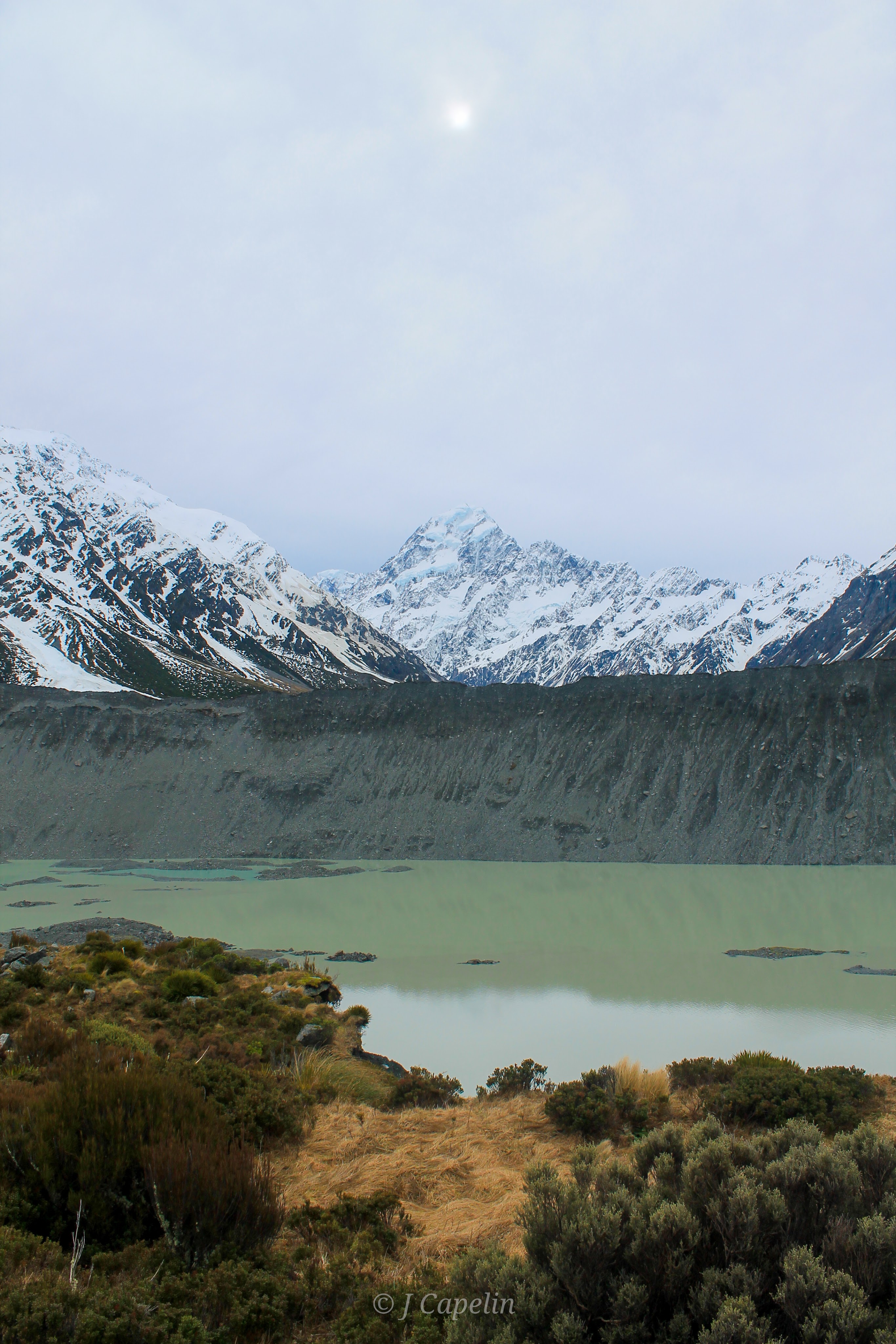
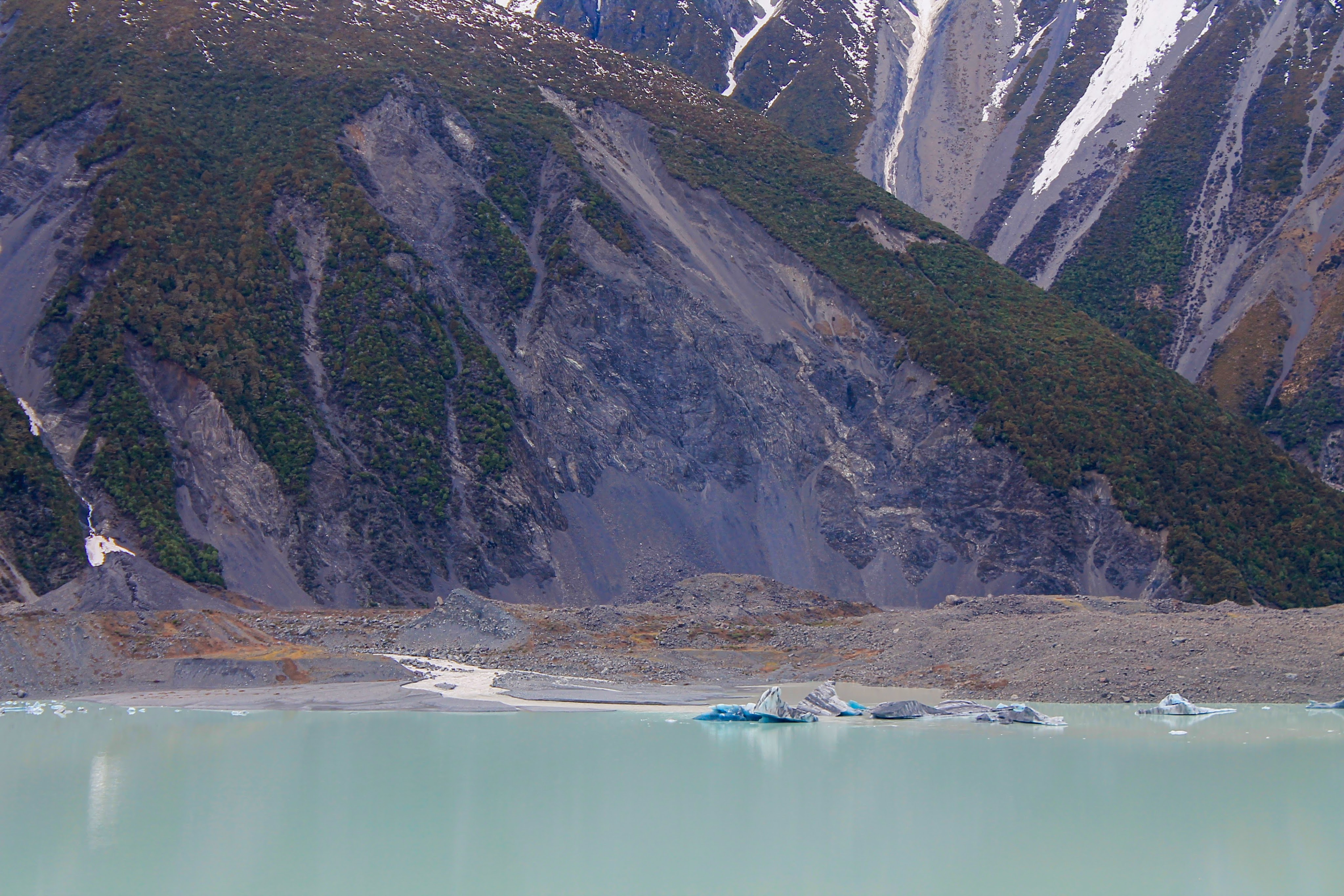
The village is overlooked by an impressive mountain peak of the same name. Cerro Castillo’s jagged turrets pierce the sky, glaciers hanging from its ridges, and hidden from view near the top is a vibrant glacial lagoon.
Cerro Castillo National Park
Cerro Castillo peak is the centre-piece to this national park, which is a popular spot for hiking in the summer months. The day hike to the blue lagoon on Cerro Castillo is notoriously steep and has a high difficulty rating; it is recommended to hire a guide. The multi-day hike crosses the national park, taking 3 to 5 days, and requires all the necessary back country gear, including safety devices. There are also national park fees, which must be paid before you go.
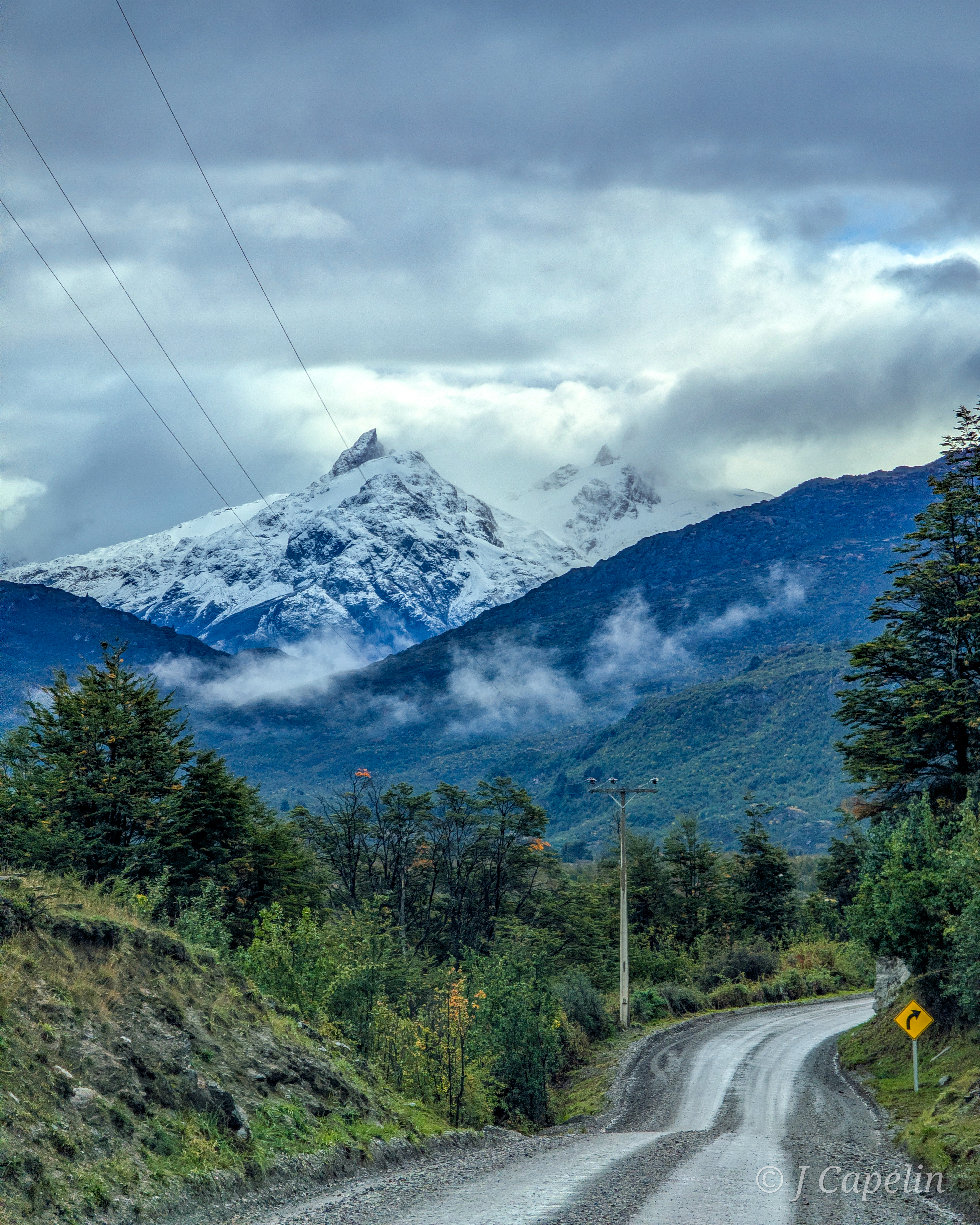
Thick snow has already covered the top half of Cerro Castillo peak, and so we scratch the day hike to the blue lagoon from our itinerary, realising that we can’t access enough information, due to having very limited internet, and the tourist information centre is close for the season. So we find a much smaller, safer hike for 7 fairly tired people with no phone service!
We drive about 40 mins northbound along the Carretera Austral, arriving at Laguna Chiguay. Nestled in between mountains and woodland in all its autumnal glory, the lagoon is currently dry; the rains are due to start around May.
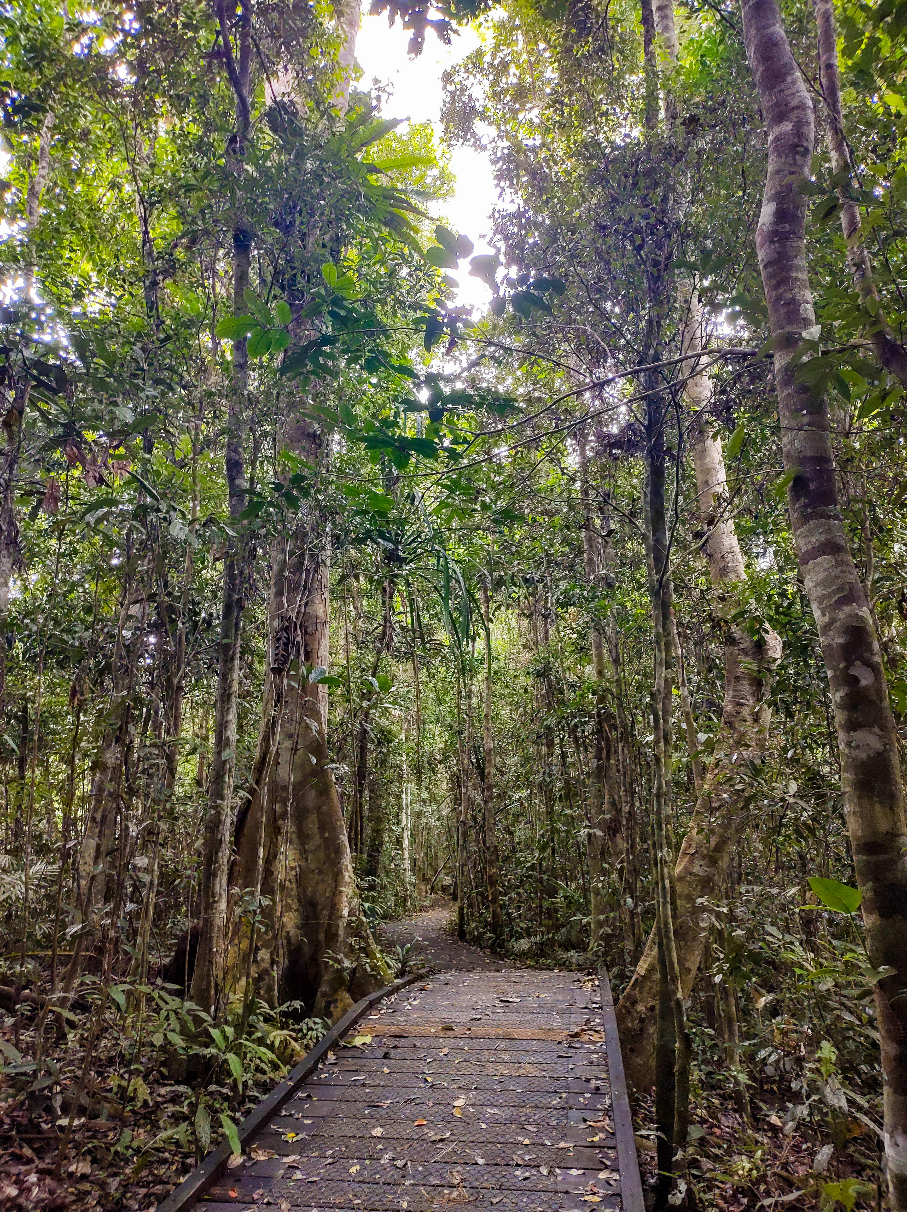
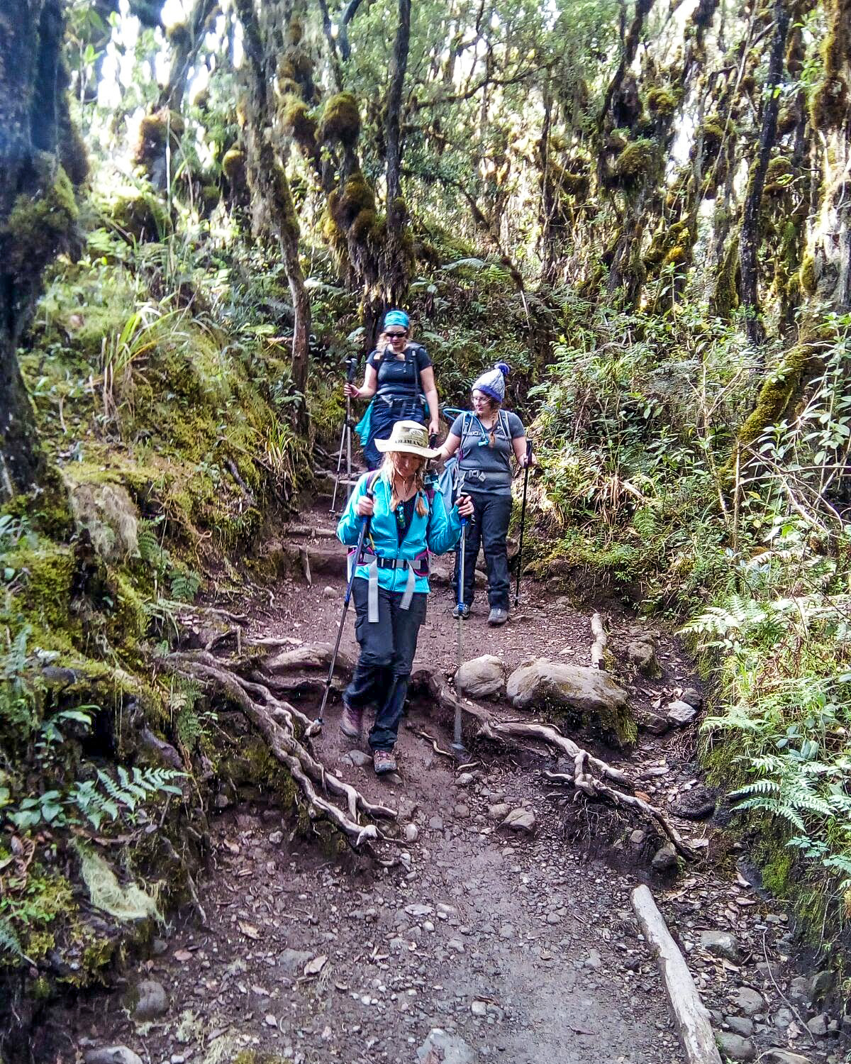
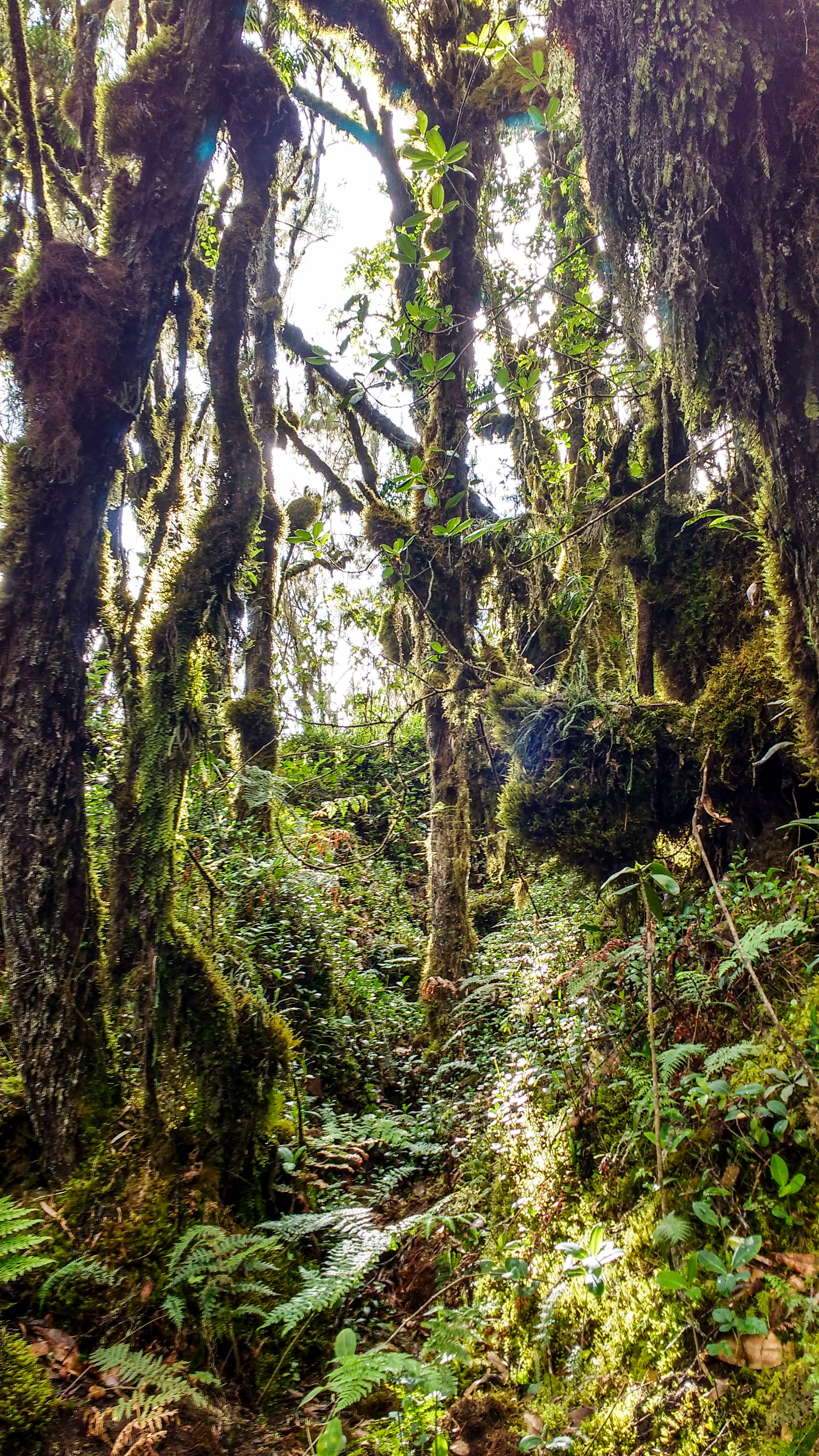
The path leads up the hillside through a twisting forest, tufts of moss on all the spindly tree trunks, and mushrooms litter the floor like tiny fairy houses. At the top of the loop, a little platform looks over the valley, colourful trees layer the hillsides, with snowy ridges beyond.
We descend into a wooded campsite, which is closed for the season, much like everything else. It feels eerily quiet, with only the gentle rush of the wind in the trees. I half expect a witch to appear in the window of one of the empty wooden cabins.
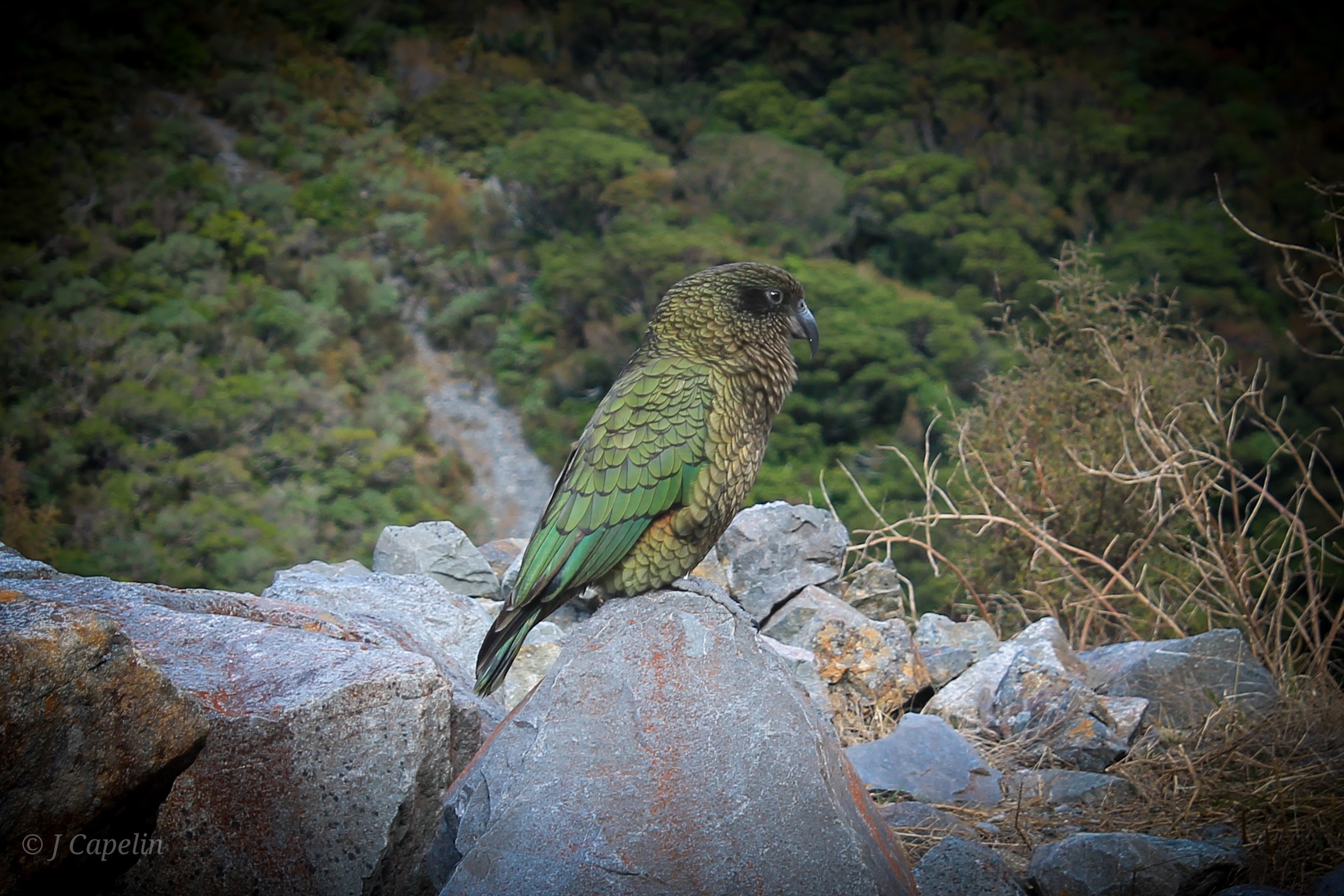
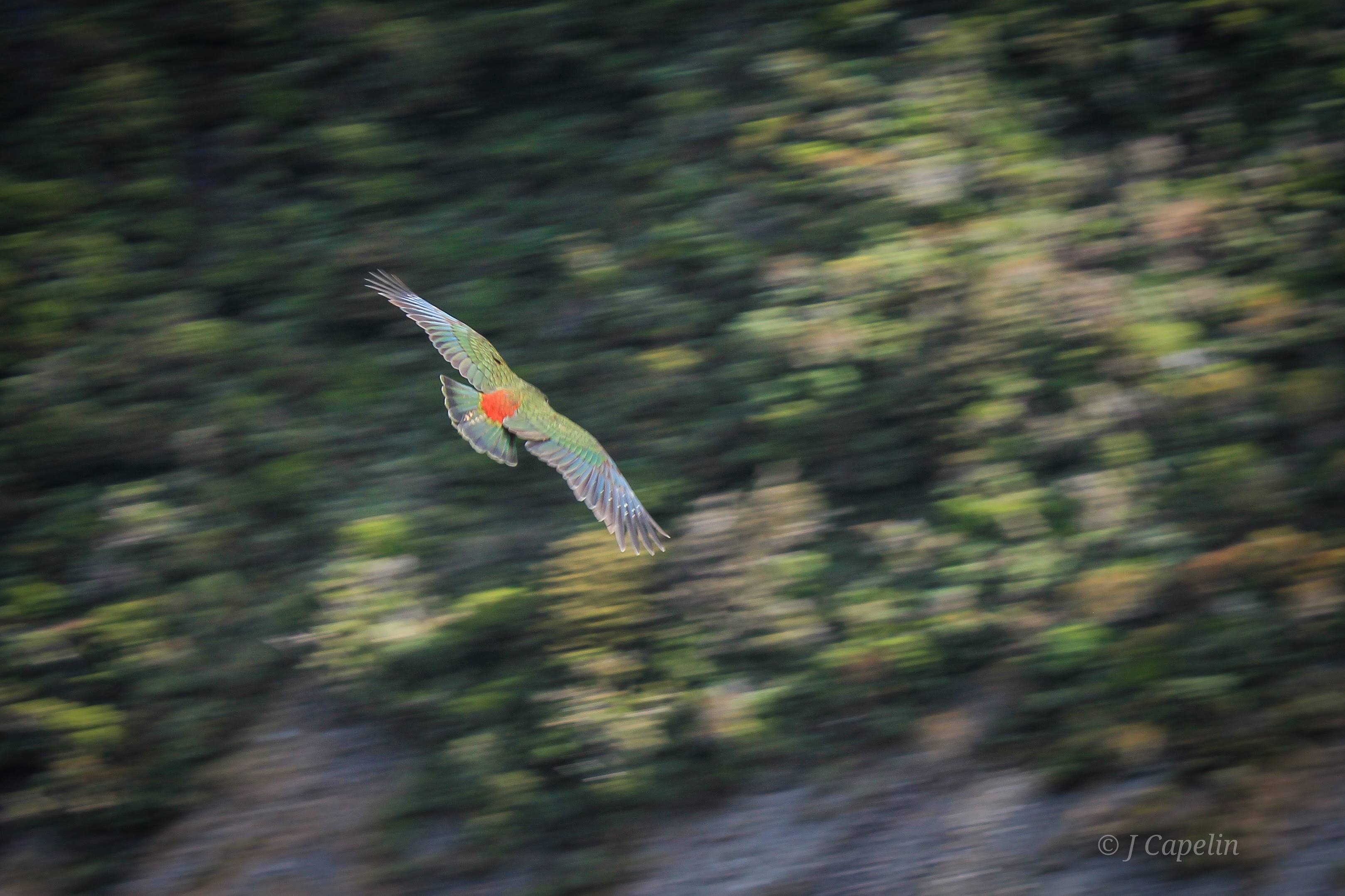
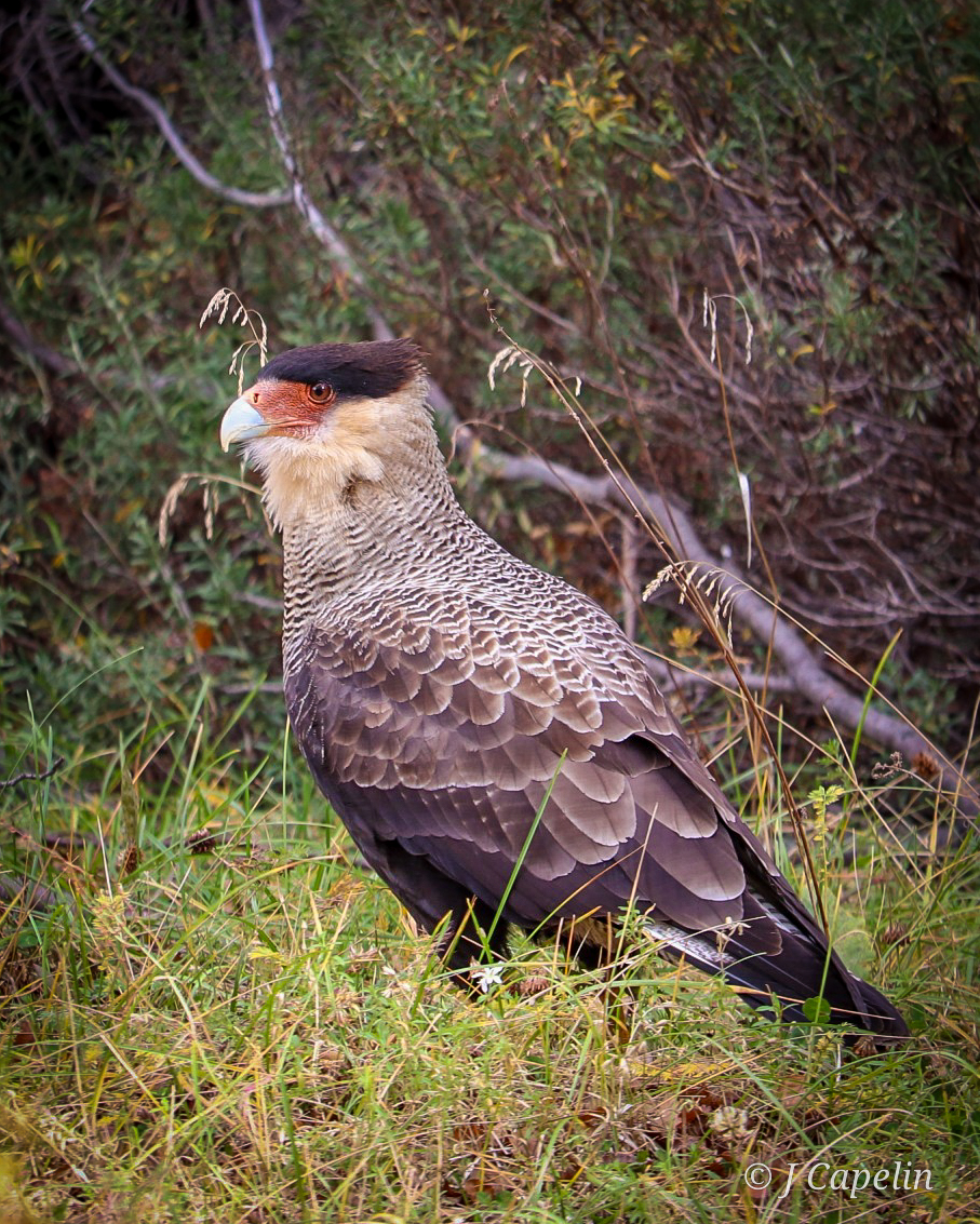
At the end of the trail we spot two massive birds on the ground, brown and white with beards! We stay still and quiet, expecting them to fly off, but they are completely unphased by us! They are Southern Caracaras – a kind of falcon.
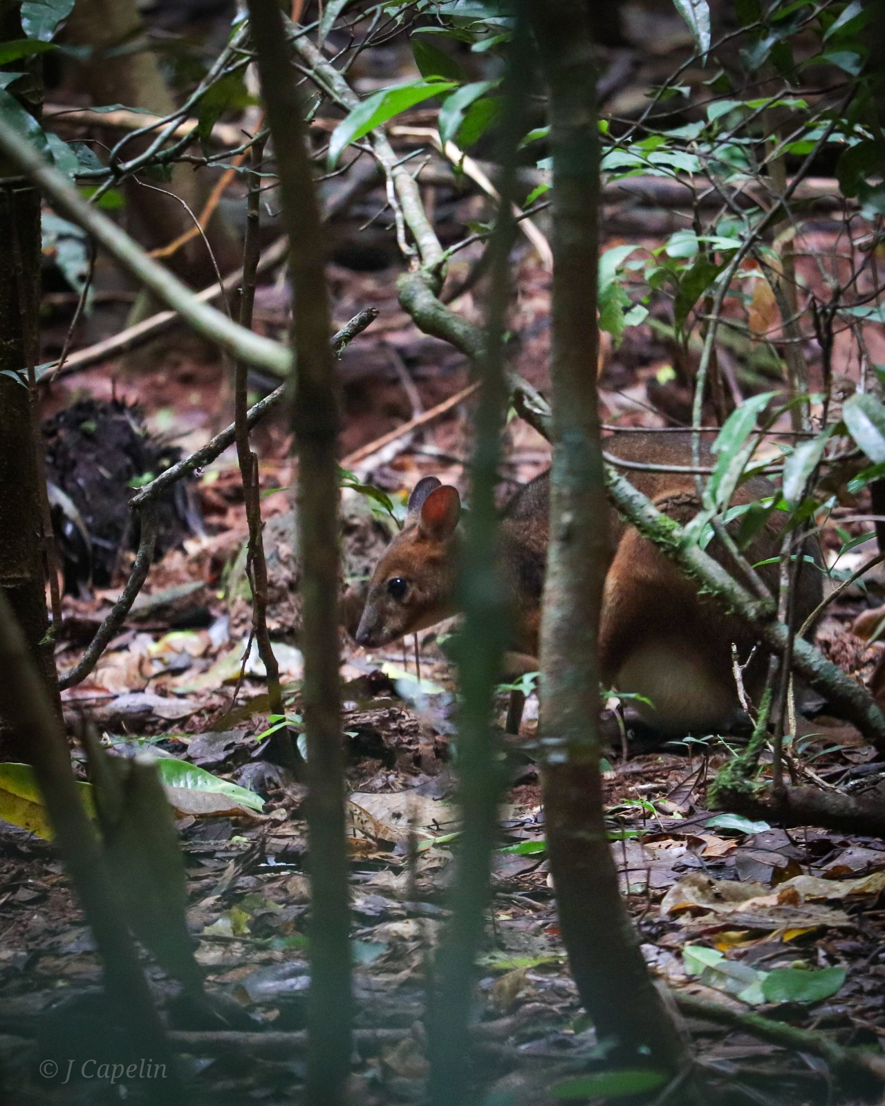
On the drive back, we stop at the edge of the beautiful Rio Blanco, hoping to catch a glimpse of the native deer, ‘Huemules.’
Our mornings in Villa Cerro Castillo are slow and chilly, sitting by the aga fire with the sun pouring over the landscape outside the window. We play fetch with a resident dog, and watch eagles and condors circling high above the grasslands.
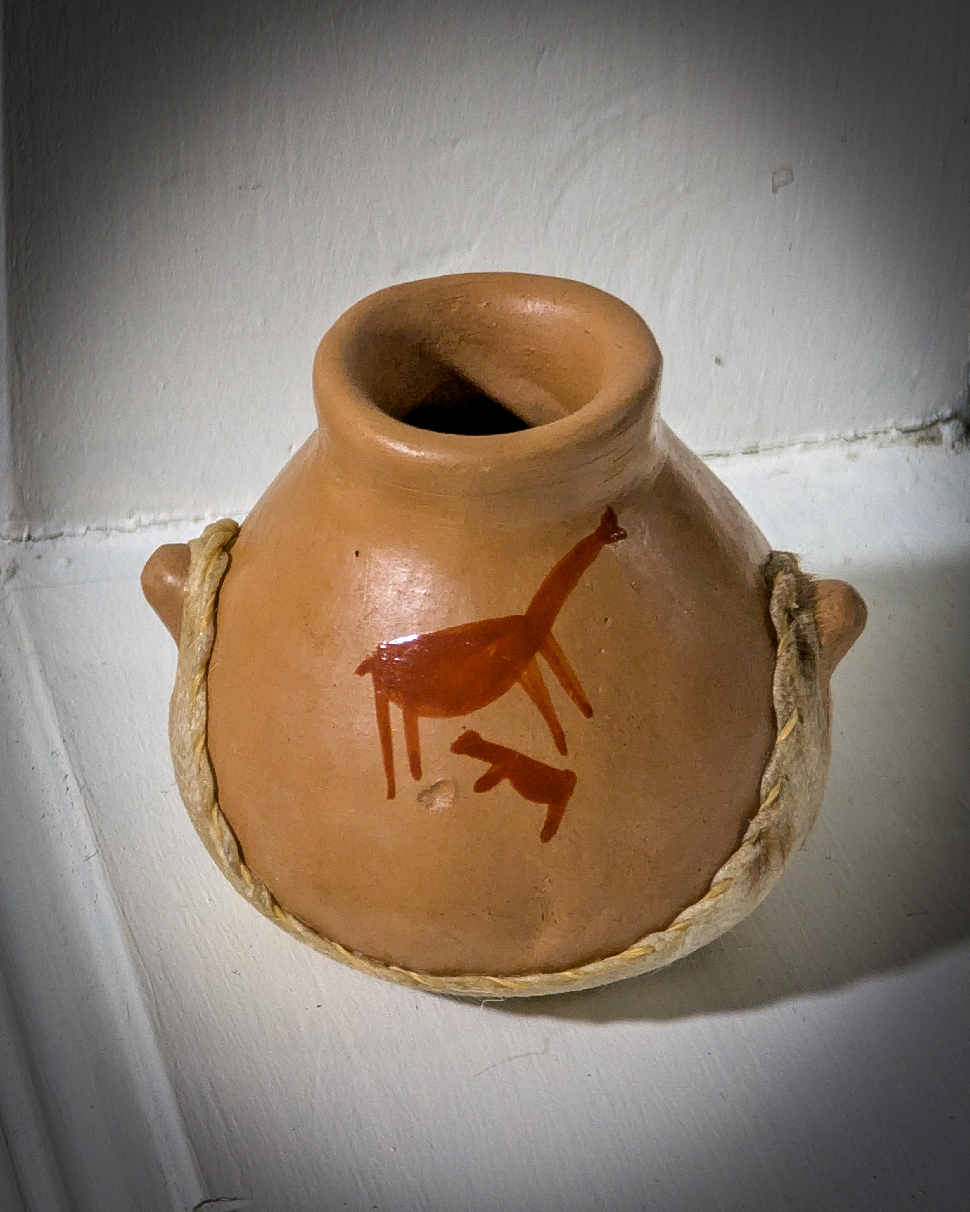
We visit a little gift shop in the village called El Arbolito, which sells cakes and gifts and all kinds of locally made trinkets, many sporting the red handprint, or the symbol of two Guanacos, (native animals similar to llamas.)

The Ancient Symbols
Just outside of Cerro Castillo is an archeological site called ‘Paredón de las Manos’, or ‘The Wall of Hands.’ This natural rock wall is covered in 3,000 year old red paintings made by the ancient Tehuelche people. The most prominent paintings are hand prints, with a few noted outlines of Guanacos and hunters. There is a modern day mural in the village by the school, featuring two Guanacos in the Tehuelche style. The symbol represents the hope for prosperity, as the presence of the native animal was very important to successful survival.
Resident dogs lay in the sun outside, some of them trotting over for an opportune head-scratch. Little birds flit between the plants, while a ginger cat watches, wide eyed and ready to pounce. (Spoiler: the birds are much too fast for the cat!)
In the evening we build a fire in the lodge’s firepit area, and sit beneath these impressive mountains, watching the stars and wondering if we are in turn being watched from the shadows by some wild cat.
In the end, we could hold out for a social-media-perfect holiday, spending a fortune on ticking off items in a crowd of tourists in the peak season. Or we could go now, while we’re all here together, and just experience it in all its wild reality. It’s always Patagonia, and it’s always impressive, no matter what time of year you go.
Thank you for being here, readers! If you enjoyed this blog, please like and share, or buy me a coffee!